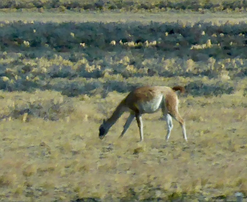
Guanacos! We saw these guys nearly every day we were not in the mountains. They look a lot like llamas and are a favorite food source for the top predator in these parts, the puma.
Guanocos
On our last hiking day we got lucky and saw two pumas. We were in the van on the way back to the Eco Camp and saw some cars parked and guys with spotting scopes. They were about 100 m away, guarding a guanaco kill. It was definitely one of the highlights of the trip (thanks Roberto!)
Puma (with a point and shoot camera from 100 m or so)
We saw lots of birds, probably the coolest were the condors (which we saw several times) and the red-headed woodpecker.
Blurry Condor shot.
And we saw a fox (actually saw a couple of foxes) near the trailhead on our last hike in El Chalten.
After four days in El Chalten, Argentina we headed south back to El Calafate for one night before proceeding on a van trip further south and west, crossing the border into Chile and on to the Parque Nacional Torres del Paine.
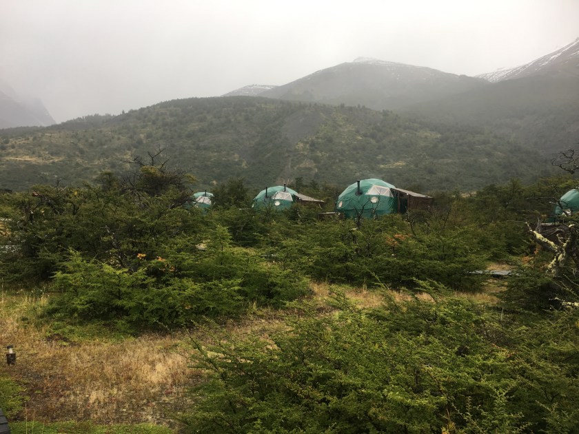
The Eco Camp and our home for our first night in Torres del Paine
The weather was decidedly worse here in Chile, a lot more rain and colder. But we saw more wildlife and some stunning views.
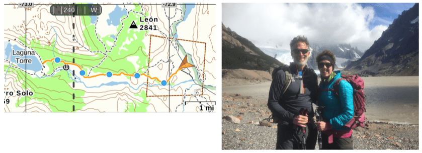
Map showing the areas in Patagonia we visited
3/12 (Mon)
We did three hikes starting with the iconic Valle Ascencio hike which was probably the hardest. Unfortunately Roberta was not feeling well so did not join us. And Mark and Debra slept it and also missed the hike! We left about 8:00 and were back at the Eco Camp by 5:00.
3/13 (Tue)
Took a van to a boat ride across Lago Pehoe to Refugio Paine Grande (a very impressive “hut”) where we dropped our dry bags and started on the Valle Frances hike. Roberta is feeling better and Mark and Debra managed to wake up in time so we have all our group today.
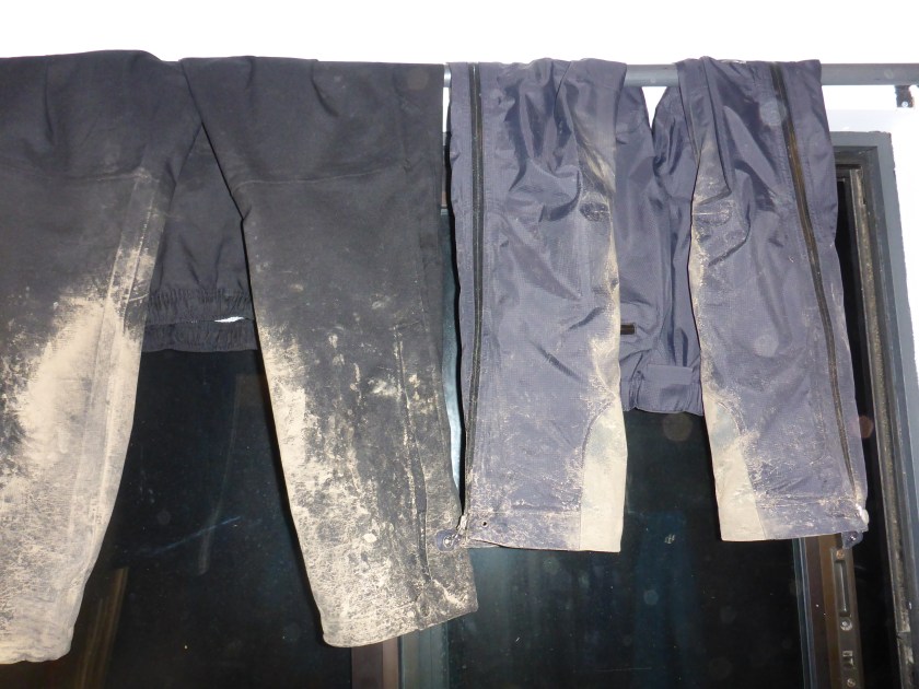
Back to the hut by about 4:30 – this is where we are spending the night, 6 to a room in three bunk beds. Another rainy day and our rain gear is starting look pretty nasty.
Rain pants hanging up to dry. Nasty!
3/14 (Wed)
Last day of hiking! A short one to Glacier Grey and, again, rainy and cold but she very impressive views.
Overlooking Lago Grey and Glacier Grey
We ended the day with a boat ride across Lago Grey to a van that took us back to the Eco Camp and our last night in the park.
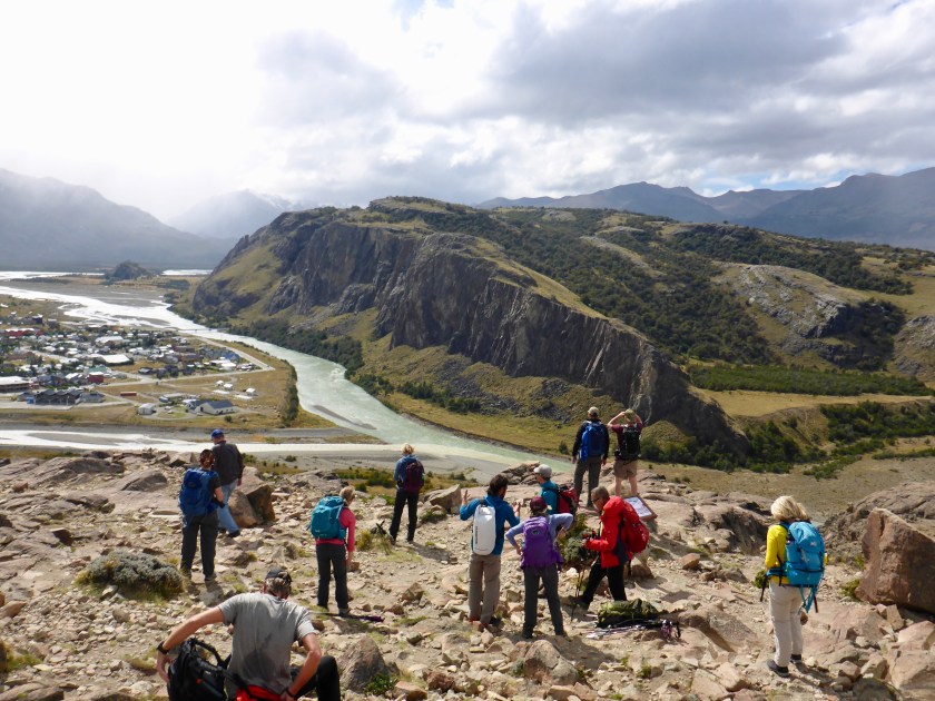
After a brief hike (about 5 miles round trip) to a spot with a view of the town we began three days of hiking in Los Glaciares National Park, returning each night to our hotel in El Chatlen.
Had to modify my boots – the high tops were bugging me. Thank god for duct tape!
New lo-rise boots!
Wed (3/7)
Up for our first big hike to Laguna Torre – ~11 miles round trip (out and back) but pretty flat – 1200 foot of climbing. It was a beautiful day, sunny and not too windy (which is saying something!). Left about 9:00 and back to the hotel by 4:30. Laguna Torre is a glacier terminus lake.
Laguna Torre
Thu (3/8)
Up earlier – catching a van to take us to the trail head then we hike back. Earlier start – on the van at 8:00 and hiking by 8:30. Long hard day. Two of our group did not to the climb to Laguna de Los Tres. The climb was brutal – well over 1000 feet in less than a mile. 14.5 miles total and well over 3,000 feet. The weather was not great. We ended up putting on all of our rain gear in a shelter just before the climb to the Los Tres. It was rainy and cloudy pretty much all day. Snowing at the top – which was pretty cool.
Fri (3/9)
Another early start (8:00). Cold (31 degrees!) but looks to be clearing when we start. Fortunately it cleared and we had sunny and clear weather almost all day but it was very windy at the top. Kept us from doing the final climb to Pliegue Tombado which knocked off about 800 of climbing. Still a long day. At the lookout before the final climb it was blowing 30 mph and cold. So Jose and Rodrigo (our guides) decided we would not go.
3,000 foot day (1200 to 4200 feet) even without the final climb and 15 miles round trip. Left at 8:00 and back by 3:30. Very short lunch at the viewpoint because of the wind
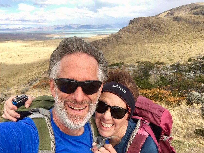
Approaching the top of our hike. Fitz Roy in the background.
We had stunning views of the Fitz Roy massive throughout the day (the first time we have been able to see it).
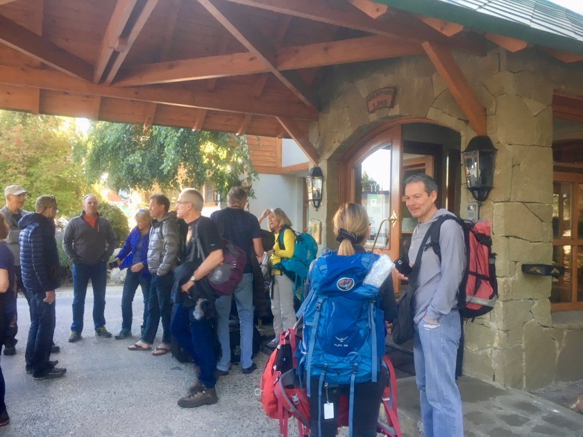
After four days wandering around Buenos Aires we caught our local flight to El Calafate (Monday, Mar 5) and the start of our Alpine Ascents trek. After a brief mixup at the airport (we grabbed a cab to the wrong hotel) we finally hooked up with our guide (Jose Luis) and met the rest of our hiking team.
Our group hanging around the hotel
The drive to El Chalten the next morning (Tuesday) was our first taste of Patagonia. And, unlike all the pictures, most of Patagonia is not snow-capped mountains but rolling plains. And wind. Lots and lots of wind.
What most of Patagonia look like
And, by the way, those are guanocos in the foreground, our first taste of Patagonian wildlife. They are pretty much ubiquitous. They are related to llamas.
A guanaco doing what they do…
And on to our first hike… a short afternoon hike from our hotel in El Chalten
Looking down on El ChaltenTwo wind-blown hikers just before the rain started
After a 10 hour flight from Houston (thank God it wasn’t 13 hours! There is a 3 hour time difference) we arrived into the blazing sun of a beautiful Argentinian “autumn” day. Have no real plans – just sightseeing for a few days before we had to Patagonia for our trek.
A couple of tourists in front of a big white thing.
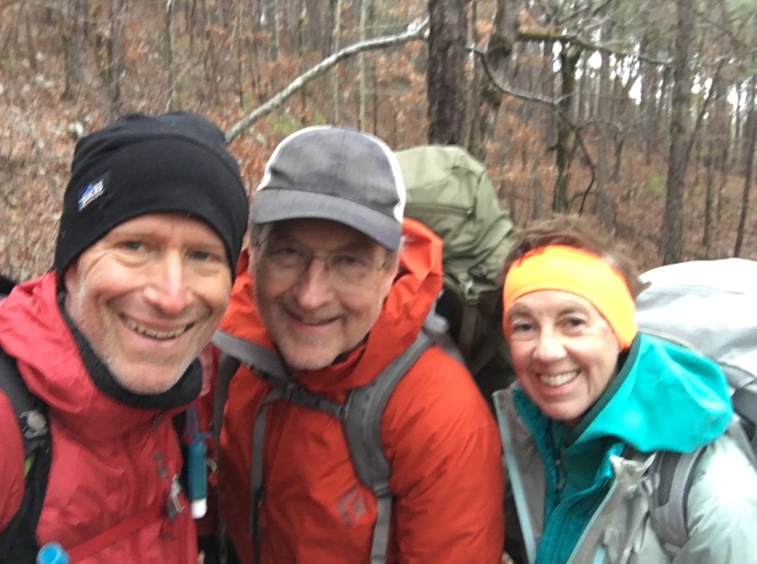
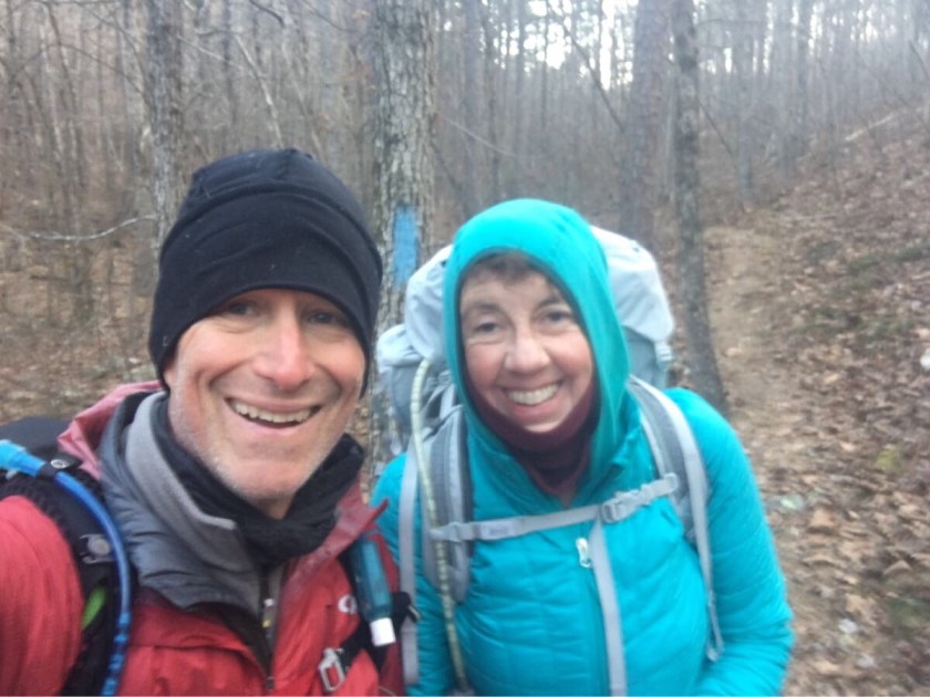
Team “What in the Blue Blazes” on our last morning.
Our grand plan to complete all 223 miles of the OT failed but we did hike 83 miles over 6 days over some pretty tough trail in some very cold weather. We had two nights with temperatures in the teens and we were just not prepared for temperatures that low. The cold temperatures were not a problem while hiking but made camping and sleeping brutal.
The OT showing completed portion (yellow).
With rain and more cold weather forecast for the following week we have decided to end this attempt.
We saw some beautiful country and the trail, while very rocky, was generally a great hiking trail. We definitely woud like to come back to finish the trail.
Here’s what we will do differently:
Come later. At least a month later in the year (March instead of February). It was just too cold.
Take it a bit easier – 12-14 mile days rather than 15-16 mile days.
Another tough night. It rained most of the night and the temperatures dropped. We woke to trees coverd in ice and a trail that crunched when we walked. Estimating the temperature dropped into the high teens.
Ice on the trail
Emerson has had enough and has decided to call it quits at the highway crossing 11.5 miles into today’s hike. Roberta and I are still talking about continuing one more night but as the day wears on and the cold doesn’t let up we decide to follow Emerson.
Walking through a winter wonderland of frozen pine trees is beautiful but COLD! Forecast for tonight is even colder so we feel comfortable about our decision to end our hike today.
Cutie hitchhiking into Story, Arkansas
We got to Hwy 298 about 1:00 and began hitching (could not call Lori at the Bluebell Cafe because we had no cell coverage). Got a ride from the second car and were eating a hamburger by 1:30! Emerson joined us a couple hours later and Lori gave us a ride to Mt Ida and our hotel (Royal Oak Inn) for a hot bath and a warm bed.
Emerson had cell coverage (he has AT&T and we have T-Mobile) so we got a weather forecast that called for rain starting in the afternoon. We started the day having completed roughly 58 miles and wanted to do another 15 miler but with the forecast elected to shorten the day to get to a trail shelter by the early afternoon, making a 12.5 mile day.
Togged out for rain!
Arrived at the shelter just before 2:00 PM and found another hiker already there. Tim is an east-bound through hiker. He gave us the scoop on the trail ahead and Mt Ida (it’s in a dry county!!!).
Bert by the fire. Tim, AKA “The Firestarter” is behind
Tim was from Fort Worth and through-hiking by himself. He said the stretch west of AR-27 was harder. Great.
Emerson in the shelter – our home for the night.
Tim built a great fire. We cooked our dinners and hung around the fire talking, watching the temperature drop and waiting for the rain. The rain started around 5:00, driving us into the shelter and into our sleeping bags for the night.
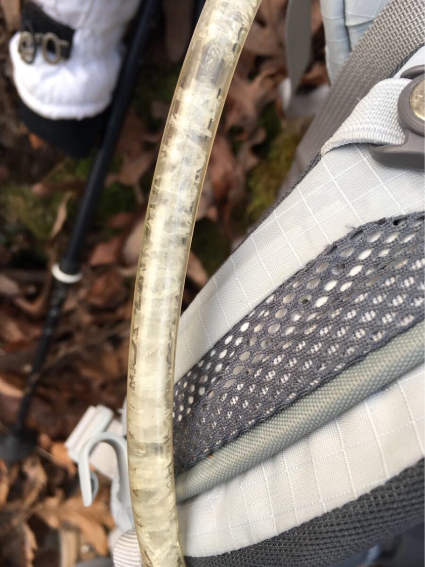
We had a bad night. The wind picked up and the temperature dropped. We awoke to frozen water bladders and an ice sheen on the pond next to our tents.
Frozen pond!Frozen Hydration Bladder Tube
Was tough getting started but we still managed to get out by 7:30. Our bladders did not thaw till nearly noon so no water in the morning. The sun slowly warmed things up to the 40’s (we estimate the temperature overnight in the low 20’s) and we were able to stop for lunch in the sun.
Cold morning on the trail.Intrepid hiker crossing a stream
But the day ended well as it warmed up. We got to our camp site after a lovely walk through a sun-dappled forest and the camp site was our prettiest by far.
Tent site on day 4
All in all a good day after a terribly cold night. Things are looking up!
We started the day early – packed up and hiking by 7:30. It is not light enough to hike much before 7:00 or so. We immediately started the day with a steep climb. The plan for today was 16.6 miles but we quickly realized it might not be possible.
The problem was that we have to at our destination by 3:30 or 4:00 to get our camp set up, water filtered and dinner made before it starts getting cold. Decided to go 15 miles today and modified the schedule to keep it around 15 miles. We can still get to Mt Ida in 7 days at that pace.
Day 3 Elevatin Profile
We entered the National Forest early in today’s hike. The last 10 miles we skirted private lands between the state park and the national forest.
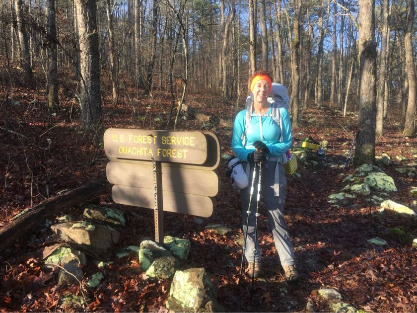
Entering the Ouachita National Forest
We decided to camp near a pond after 15 miles (44 miles todal). Set up camp around 3:30. Emerson rolled in about 30 minutes later. Started to get cold and the wind picked up.