We interrupt our regular programming of misadventures to confirm that, yes, it is hot o’clock in Hotsville, France.
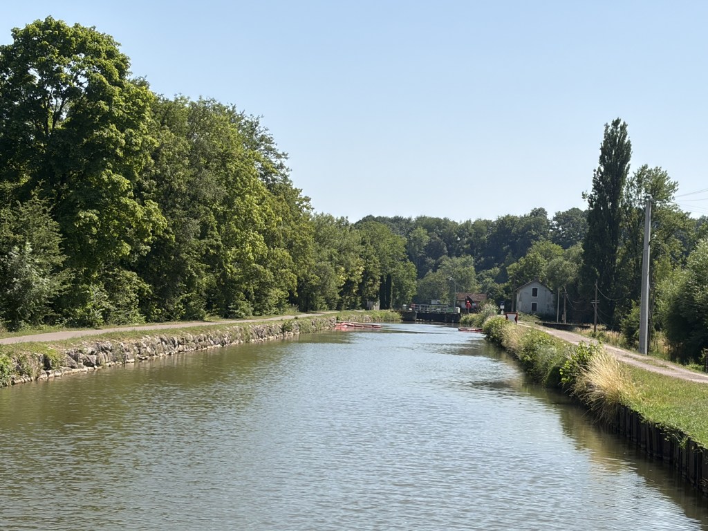
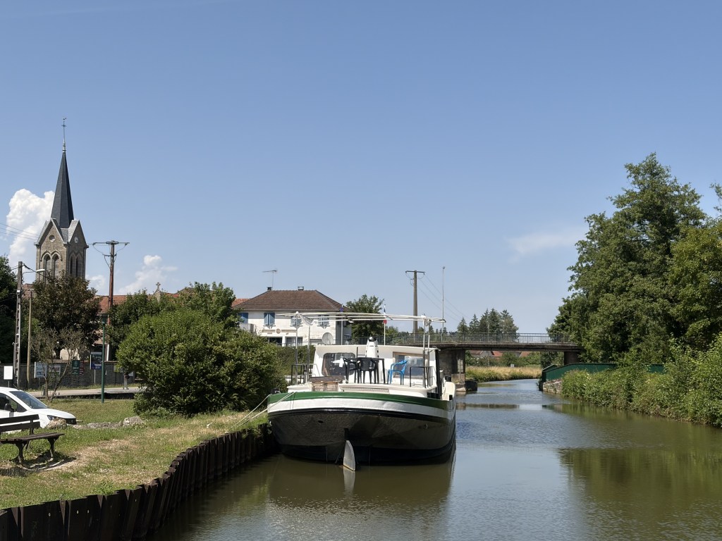
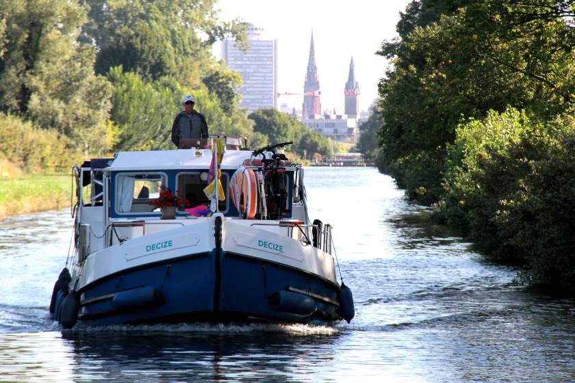
You may think these are photos of a French canal but they actually show the face of the sun.
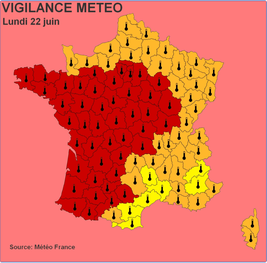
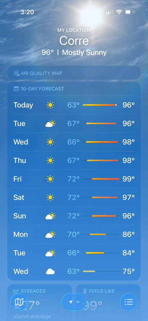
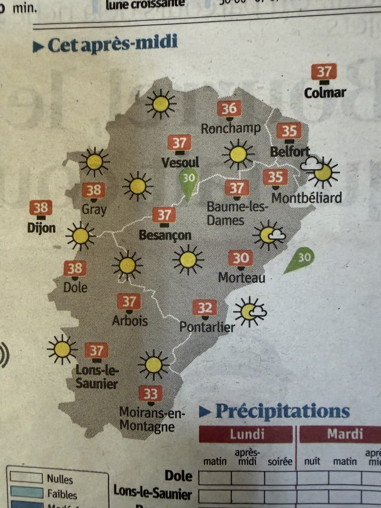
We have so far avoided being in a red alert area but that may change considering the forecast. (For those still using the antiquated Fahrenheit scale, 35C is 95F).
It’s all the news here. The inside article is about how a Carrefour grocery store chain is allowing pets into its contactless grocery area so they don’t overheat.


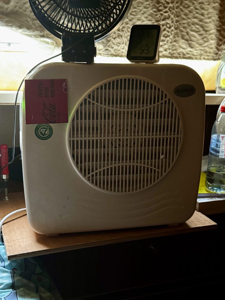
Not to worry, we have strategies to cope. Cruising starts early (7:30 AM) and ends early (noonish) to avoid the afternoon furnace. We’ve pulled out our little RV AC which cools our berth effectively.
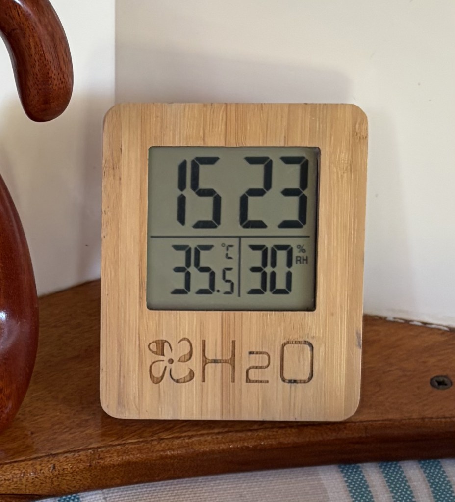
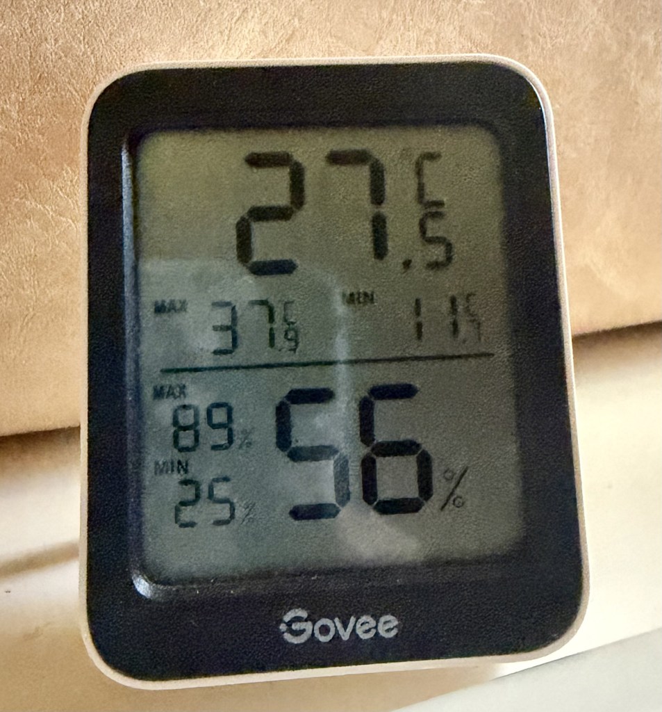
Compare and contrast the temperature in the main salon with the one in the sleeping area. A 8C (14.5F) difference.
Our hero, below, with able assist from even more fans.
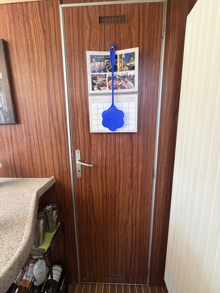
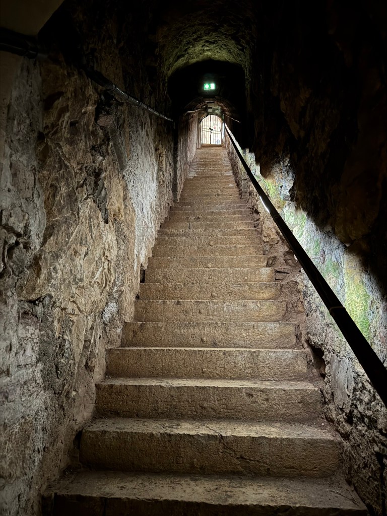
With temperatures predicted to go even higher we may abandon ship and check into an air-conditioned hotel in a nearby city. In the meantime you can find us hiding behind this door in our cool little cave.