Day 8 – 104 Miles and a Rest Day

Taking our first rest day in Neskowin after 7 days of hiking (though yesterday was very short – more on that in a bit). Neskowin is a tiny little place but it has a gourmet grocery, a laundromat, a post office and two restaurants (both serve cocktails – and tonight is Martini Night!).
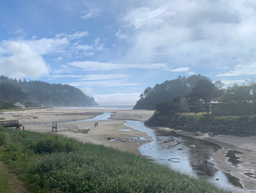
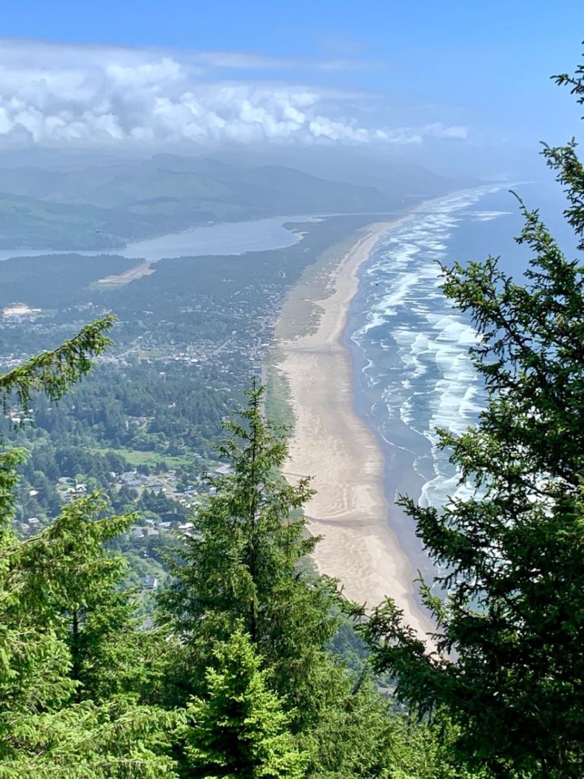
View from our balcony in Neskowin

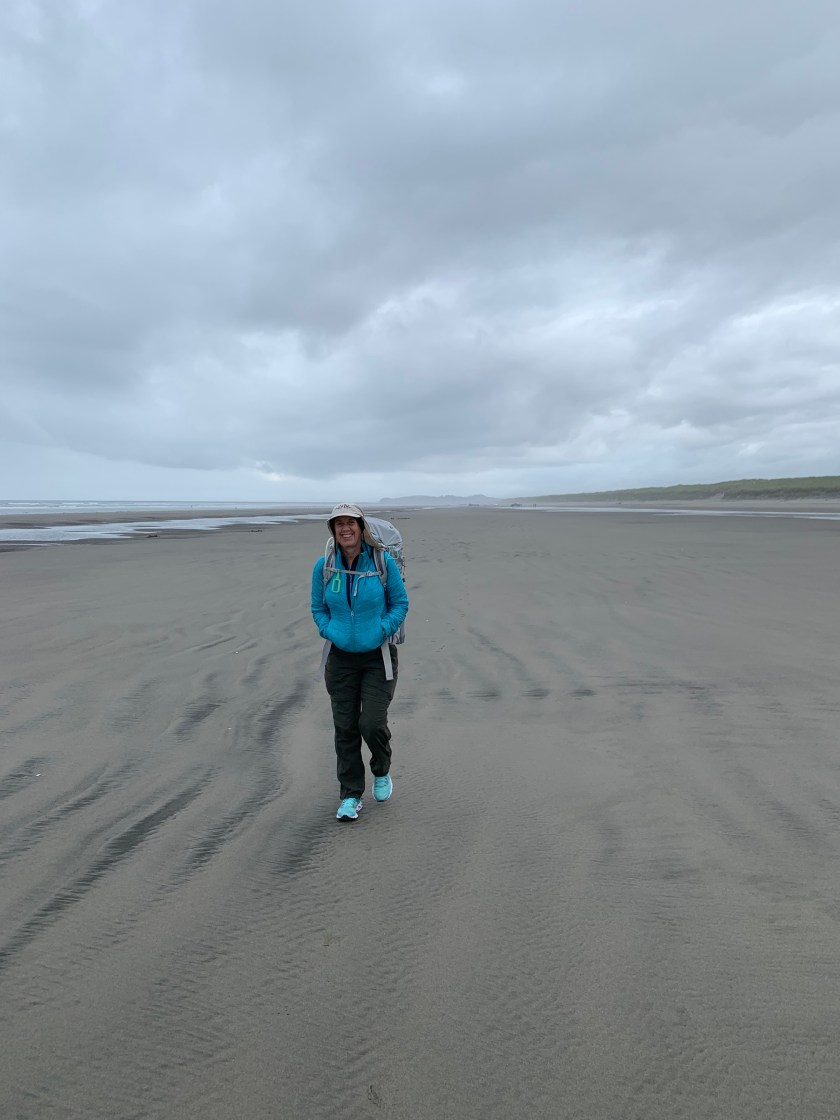
We left Garabaldi on day 5 with our second boat ride, this one across the mouth of Tillamook Bay, courtesy of Jeffery at the Garabaldi Marina. Jeffery dropped us off on Bayocean spit without getting our feet wet and we proceeded south on the beach.
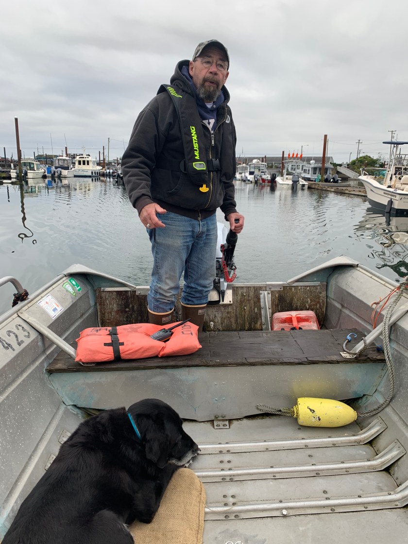
Captain Jeffrey and one of his two dogs that accompanied us across Tillamook Bay

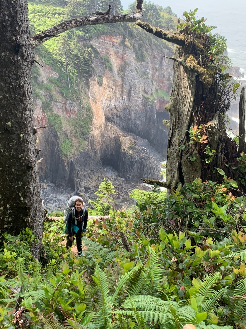
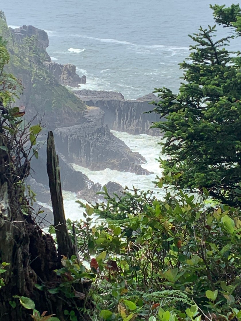
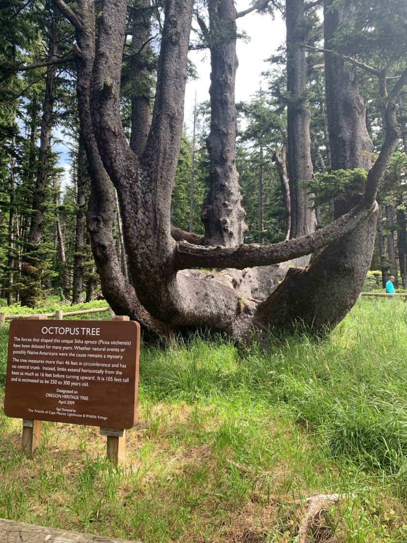
After 6 miles or so of beach we headed up and over Cape Meares. After a fairly steep climb we arrived at the lighthouse. On the way we saw an 800 year old Sitka Spruce, the “Octopus Tree” and some stunning views.

Looking south from Cape Meares
The Octopus Tree

Coming down the south side of Cape Meares we hit the beach at the lovely beachside town of Oceanside where we had a fantastic lunch of sea scallops (Bert) and smoked salmon sandwich (Jason). Then back to the beach for a couple of miles to Netarts where we left the beach for a long road walk around the bay (no way to get across on a boat). I met a couple at the boat ramp in Netarts and talked them into driving us the five miles around the bay where we walked the final mile or so to Cape Lookout State Park and our home for the night.

Our campsite at Cape Lookout SP

This was our first experience with the hiker/biker areas of the state parks. You don’t need a reservation and, for $8.00/person, you get a campsite with a table, warmish showers and a place to store your food. It was quite nice. We only met one other hiker but there were four or five bikers.

Day 6 started with a big climb up and over Cape Lookout – another 1,000 foot plus climb. The big obstacle this day was the water crossing at Sand Lake. Bonnie Henderson (the OCT guru) says you MUST be there at low tide to get across and going around is not an option.
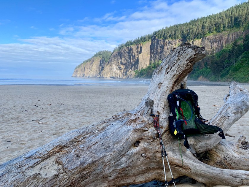
Looking back at Cape Lookout that we just walked over.

We got to Sand Lake about an hour before low tide after a little over 8 miles of hiking. It did not look wadeable – it looked over 5′ deep in places. We sat down to wait for low tide and hoped it would get a lot better.
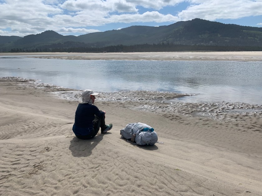
Bert waiting for low tide and our impending near-drowning.

We managed to get across but the water was up to nearly the bottom of our packs at the deepest – very scary. Then it was another four miles to the giant sand dune at the neck of Cape Kiwanda. Up and over to reach the RV park we spent the night.

The giant sand dune at the neck of Cape Kiwanda- yes we walked over this.

Cape Kiwanda was a hopping place – there were hundreds of people on the beach, a lively brewpub and the RV park was full (for RVs – always room for tents!).

We awoke on Day 7 to a light rain and a 5 mile road walk back to the highway. Not a good hiking day – nearly all of it is on roads or highway. Bert is having problems with her pack so we decided to hitch once we reached the highway. Within minutes the coastal bus stopped and picked us up and took us all the way to Neskowin! Trail magic! And more to come.

We decide to try to get to Salem and the closest REI (about 50 miles east). But there are no cabs, and no car rentals. Donna, the desk clerk at the hotel, introduced us to Larry who drove us to Lincoln (about 9 miles south) where we caught the “Coastal Connector” bus to Salem. $3.00/person for seniors! In Salem we Lyfted to REI where Bert got a new pack.
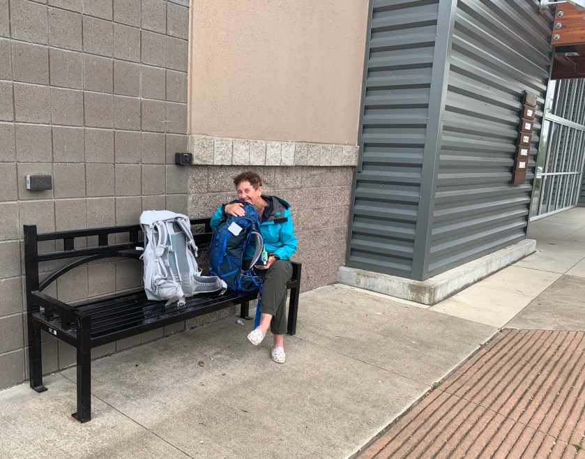
A happy Bert with her new pack at REI

And we managed to talk someone into giving us a ride all the way back to Neskowin (for $100). All in all a very successful adventure.

The Neskowin Ghost Forest – strange rocks on the beach at Neskowin. The one in the middle is VERY unusual.

The Neskowin Ghost Forest is there 2,000 year old remnants of a spruce forest. Highly recommended reading – Neskowin Ghost Forest

Taking the new pack for a test drive on rest day.

Tomorrow starts with another climb (of course) over Cascade Head as we slowly wind our way south toward California.
Previous: Day 4: We Survived Mt Neahkahnie!

Next: Week two of the OCT.

Day 4: We Survived Mt Neahkahnie!

Sitting in a lovely inn in Garabaldi after a wonderful dinner it’s easy to forget that the Oregon Coast Trail nearly killed us yesterday. It took us nearly 9 hours to go the 15 miles or so from Cannon Beach to Manzanita because of two mountains with close to 5,000 feet of ascent over the course of the day.

View looking south from Mount Neahkahnie.

We did have stunning views and saw a black bear (no pictures unfortunately).

Stunning views from day 3.

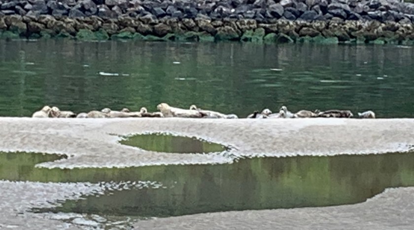
Today was a relatively easy beach stroll of ~14 miles that included our first boat ride across a bay. On the walk to Nehalem Bay we saw a couple of elk on the beach (too far for a picture). We arrived at the north jetty of Nehalem Bay and called Jetty Fisheries for a boat ride and were told to wait and not disturb the harbor seals.

Harbor seals on the north jetty of Nehalem Bay

In short order Phil arrived and ferried us across the bay. Now, THIS is hiking! After some coffee and a muffin we headed down the train tracks back to the beach. After 5 or six miles of hiking we left the beach making the decision to hike the train tracks the three miles or so into Garabaldi rather than highway 101 because, well, anything is preferable to the highway. And it was actually quite nice with views of Tillamook Bay.

Tillamook Bay from the train tracks on the way into Garabaldi

So here’s what we’ve learned so far on the OCT:

      • They have the best oysters in the world here. Seriously. To die for.
      • It sucks to hike along Highway 101. Any other option is preferable.
      • The scenery is stunning.
      • Tides are important if you don’t want to get wet. Pay attention.
      • Boats are way more fun than hiking.
      • It’s not all flat on the Oregon Coast!

Previous: Day 1: Seaside or bust!

Next: Day 8 – 104 Miles and a Rest Day

Day 1: Seaside or bust!

After spending two lovely days in Astoria at the Clementine B&B we headed out on the Trail this morning (Wed, Jun 19). Our hosts at the B&B (Yvonne and Steve) offered to take us the 12 miles or so to Fort Stevens State Park and the start of the trail.

With our B&B host, Steve, ready to start!

Because we hiked a couple of miles yesterday just to check out the beach we only (only!) had to do 15.5 miles today and it was all flat. The first 13 miles or so were on the beach. A bit chilly to start (55 and windy) but the sun came out after a bit.

Hiking the beach

After a few miles we passed he famous wreck of the Peter Iredale , a four masted British bark that wrecked on the beach in 1906.

The wreck of the Peter Iredale

We saw lots of people clamming and a few fisherman but no other hikers. And cars! This is the only stretch of the coast where cars are allowed and there were quite a few. After 13 miles on the beach we headed inland at Gearhart to get across Neawanna Creek and Seaside.

The dunes at Gearhart

Walking the coast highway (101) for a mile to get into Seaside was the least pleasant part of the trip but getting to the International Hostel in Seaside was definitely nice.

Finally I get to sit down!?!?

Previous: Oregon Coast Trail Plan

Next: Day 4: We Survived Mt Neahkahnie!

Oregon Coast Trail Plan

The trail is unlike anything else we have done (Ouachita Trail, Colorado Trail and PCT). It is entirely along the coast with many days of only beach walking. It also passes through many small beach towns (especially in the northern sections).

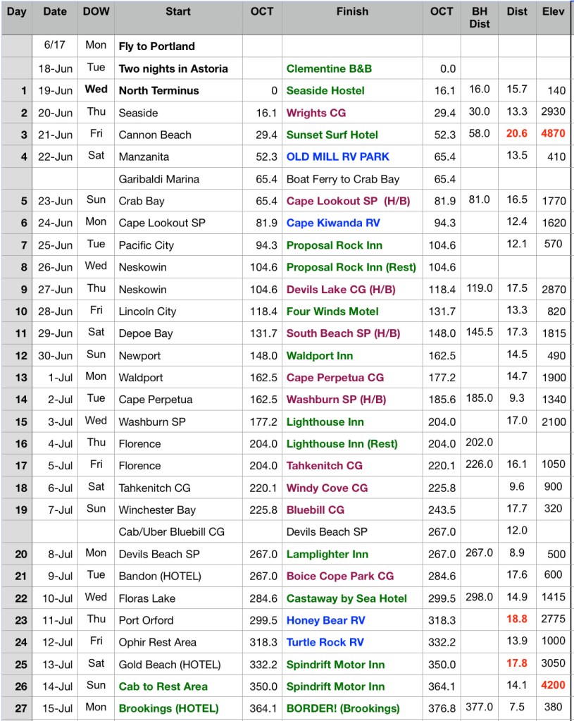
Oregon Coast Trail 2019 Plan

Our plan has us doing it the trail in 27 days (including two rest days). We will start on June 19 and finish (hopefully) on July 15. Of the 27 nights we will stay:

    • 13 nights: hotels/hostels
    • 4 nights: RV parks (i.e. showers, laundry)
    • 10 nights: campgrounds  (state or federal parks)

All of my Colorado Trail campsites were undesignated rough sites so this will be  completely different.

The trail is (currently) about 50% along the beach, 25% along trails and the rest along rural roads or highway. Maybe 25-35 miles are along the Oregon Coast Highway and there is at least one narrow tunnel (with little shoulder) we have to get through. Will probably end up hitching some of the highway.

We will average just under 15 miles/day. Our longest day is a 20 miler but there is only one of those and we could shorten that one by hitching out of town.

Navigation

GAIA Plan

The OCT is not on the Guthook navigation app so I have built my own routes using the GAIA online hiking application.

Weather

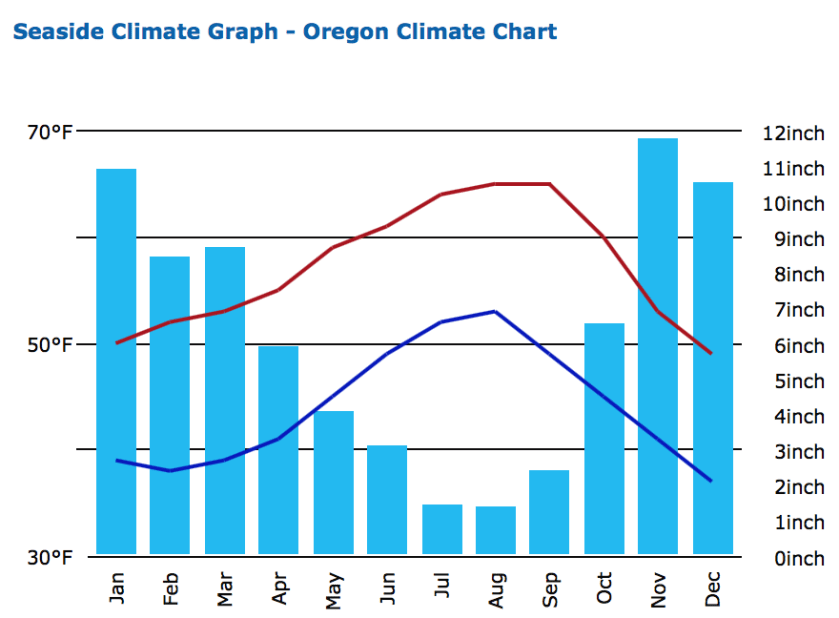
The spring rains start to let up on the Oregon coast in mid-June. This “dry” season lasts through September and makes July and August the most popular months to hike the OCT.  The average lows (at night) will be in the low 50’s and with highs in the 60-70 range. The prevailing winds are out of the northwest (which is why most people elect to hike south bound).

Average Weather Stats
Cell Coverage

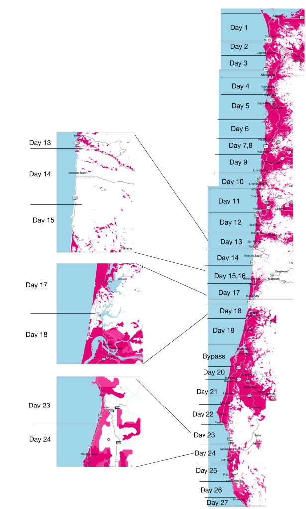
Cell coverage promises to be pretty good with only a few days with little or not coverage.

T-Mobile Cell Coverage

Next: Day 1: Seaside or bust!

2019 Travel Plans

We’ve nailed down most of our travel plans for the rest of 2019.  There are three more big trips this year:

Oregon Coast Trail

Starting in mid-June we plan to hike the ~450 mile Oregon Coast Trail. The plan (my next post will discuss the plan) has us hiking for roughly 26 days followed by visits to family in the Northwest, returning to Houston the fourth week of July.

France/Scotland

We will be flying to France to spend a week on a boat that we plan to buy. The boat is currently in rental with Locaboat. It is nearly identical to the boat we rented for the summer of 2017.  If all goes well we will take possession of the boat in October with plans to spend next summer on her.

After we leave the boat we will travel to Edinburgh (by train – always wanted to take the “Chunnel”!) to Edinburgh to, hopefully, catch some the Fringe Festival. After a few days we will head to Aberdeen to visit old friends before returning to Edinburgh to join the Houston Looking At Art group for a week looking at local art.

India/Nepal

Finally, in mid-October we head to New Dehli where we will spend a few days sight-seeing before flying to Kathmandu for a three week trek with friends in the Himalaya, reaching Everst Base Camp near the end of the third week.


223 Miles and DONE!

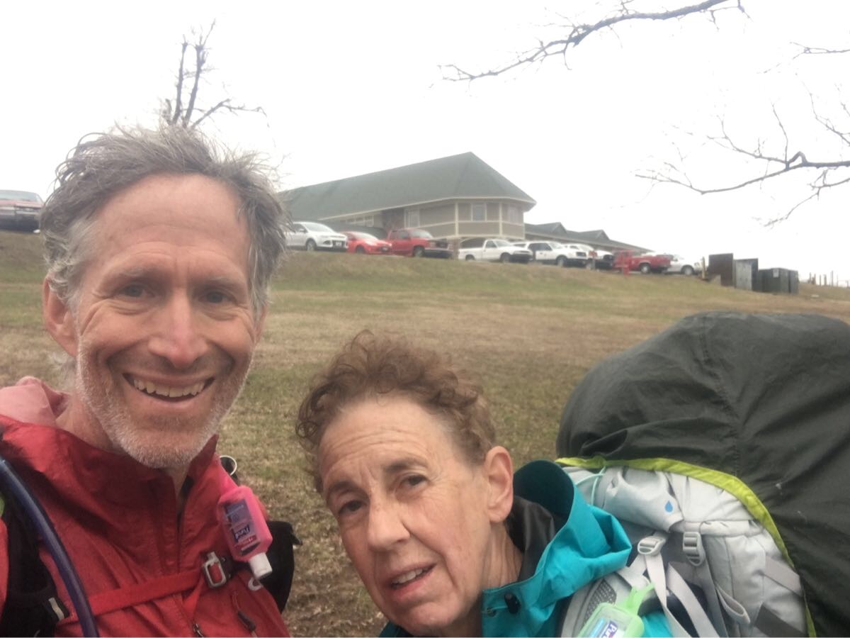
After sitting out an historic weather event that brought cold temperatures, rain and 50 mph winds to the lovely Queen Wilhelmina  Lodge (our rest day after seven days on the trail) we set out to complete the final 51.5 miles of the Ouachita Trail under a bright sunny (but cold and windy) sky.

Heading our or the last 50 miles!

Day 9, Thu, Mar 14 (OT 51.5 to OT 38.0)

After yesterday’s windy, rainy day this was a nice surprise. Still windy but sunny as we head out.

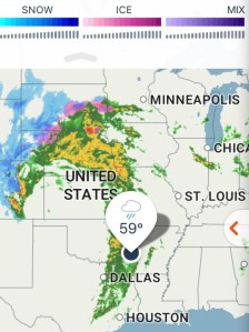
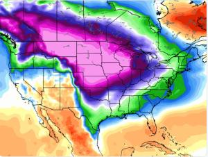
Mid-continent cyclone on our rest day.

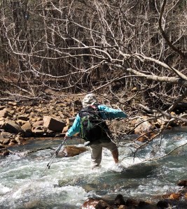
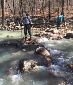
Fantastic weather all day. Trail was wet but significantly better than the other side of the lodge. First five miles followed the scenic byway before heading down to the Kiamichi River. Eight river crossings of the river. Eight! And we got wet on nearly every one.

Ran into a couple of east bound hikers, Christopher and Shane. “Hey, You aren’t the people drinking beer in the lodge on Facebook are you?” Yep. They spent the horrible weather day (yesterday) in a shelter. 

East bound thru-hikers (Christopher and Shane) that survived the big storm.

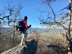
Big climb at the end of the day to get to a not so great camp site but everyone is upbeat – three days left! And had some wonderful views today. And we are now in Oklahoma – passed over the state line a few miles back.

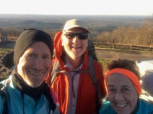
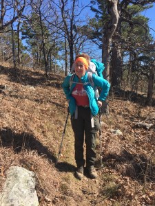
The intrepid hiker.

Day 10, Fri, Mar 15 (OT 38.0 to OT 25.2)

Tough day – not as long as yesterday but lots of vertical – nearly 3,00o feet.

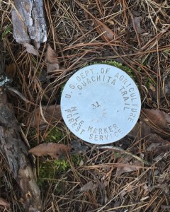
New OT mile markers. Hard to see and harder to read.

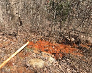
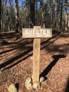
Did the 39 switchback Winding Stair ascent to the Winding Stair Shelter to end the day.  Stopped at the aptly names Red Spring for some badly needed (and very iron flavored!) water and lunch.

Aptly named Red Spring

Home!

Already occupied when we got here – Norris (Tampa) and Scott (Broken Arrow).  Nice couple of section hikers who gave us Jolly Ranchers! Had one big water crossing that resulted in Emerson going for a swim.  Only 25 miles left!

Tired hiker nearing the shelter.

Day 11, Sat, Mar 16 (OT 25.2 to OT 13.2)

Gorgeous day. Sunny and 50’s and the wind has finally died down. Met lots of day/section hikers (weekend and spring break?). Stopped at Winding Stair CG to dump garbage and use the toilets – no water though. Trail has been generally good but sometimes a bit rocky and steep.

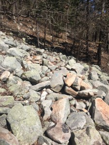
Yes, that is the trail. Note the blue blaze on the middle rock.

Then to Dead Horse Spring for water. But no horse.

Dead Horse Spring and much needed water.

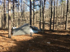
Camped at a lovely rough spot with cell coverage! Used the coverage to called Lori (Blue Bell Cafe)- our car is waiting for us. Nice surprise.

Emerson enjoying camp

Day 12, Sat, Mar 17 (OT 13.2 to OT 0.0)

Another beautiful sunny morning! Last night was a bit warmer – definitely in the high 30’s so will be a bit warmer today.

Decided to stash Bert’s pack and our tents at Deadman’s Pass near our last water cache  bear OT 8.0 (Bert is having some problems with her glute and drooping weight should help). Will pick them up on the way back to Mt Ida.
Horizontal hiking!

Met (and passed) four day hikers that are doing the trail  in short day sections.
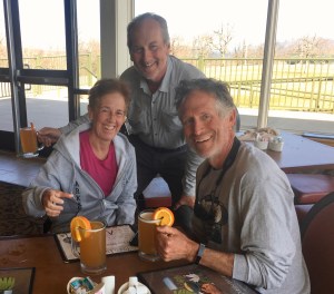
You have to have hair like this to trail blog.

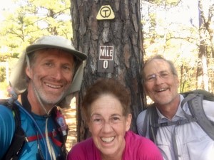
We are definitely ready to finish when we roll into Talimena State Park, the western end of the trail.

Yes!

Waiting for Harold, the park ranger, and our car keys.

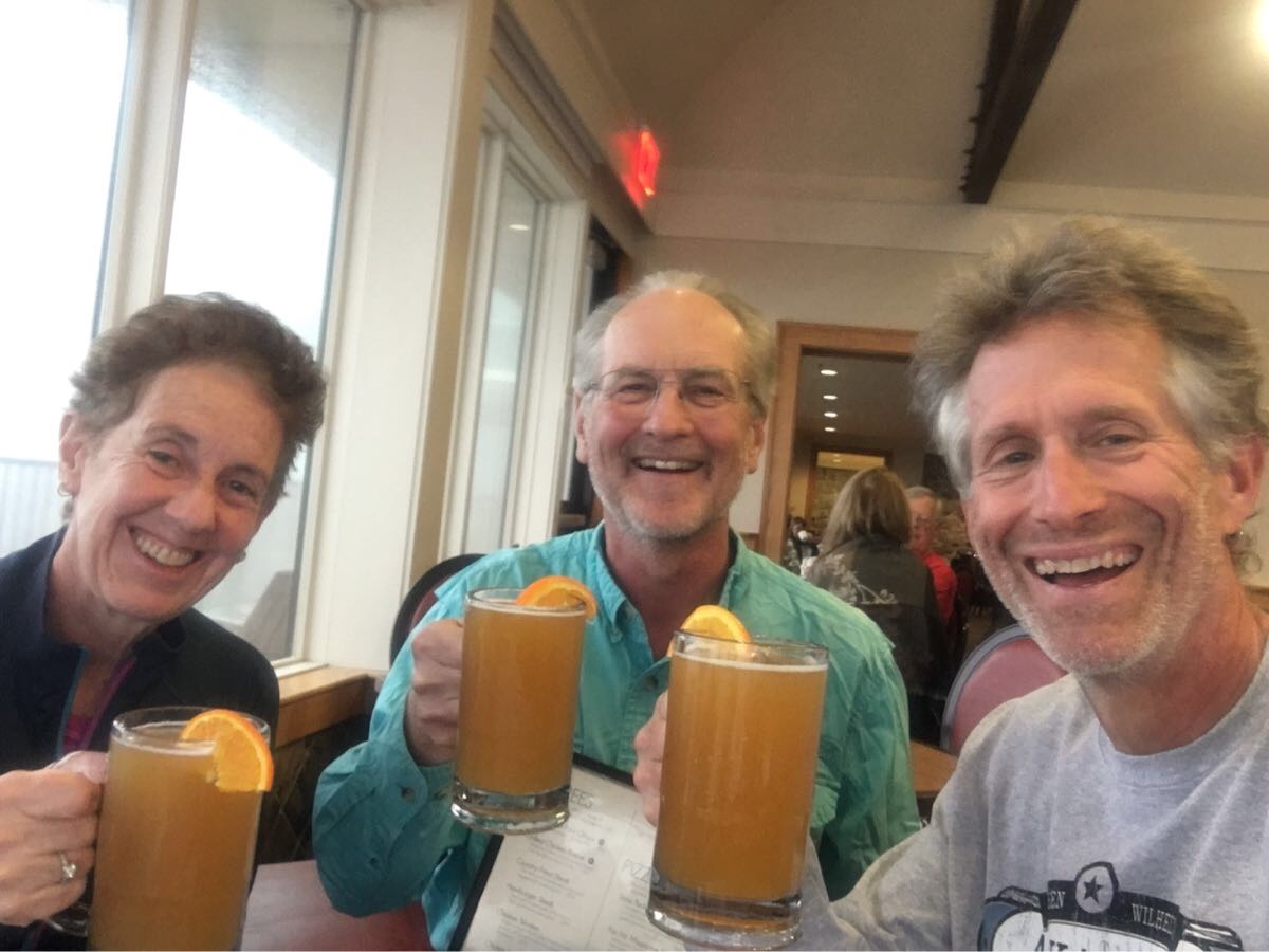
The requisite end-of-trail brew. Looks like Bert may have lost hers?

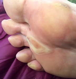
Well, after two years and 223 miles (134.5 this year) we completed the Ouachita Trail. Met some nice people, saw some lovely views, crossed (and re-crossed!) some fine streams and had (at the end) absolutely beautiful weather.  We finished tired and happy. Oh… here is the requisite blister pic..

I’m not even sure what that thing in the middle is…

Queen Wilhelmina Lodge….. FINALLY!

87 miles, 2 thunderstorms and 7 days later, we stumbled up the steps to the QW Lodge under an overcast sky.

Day 1, Wed, Mar 6 (OT 138.5 to OT 127.6)

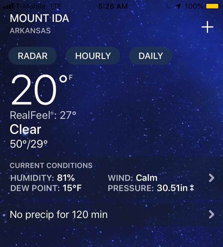
Woke up early at the Royal Oaks Inn (Mt Ida) and drove to the Blue Bell Cafe for breakfast and a ride to the trail from Lori (cafe owner). Cold (~20 degrees) but the sun is out and we had a wonderful first day of hiking in sunshine to our first camp at the Bill Potter Shelter after 11.4 miles.

Off we go..

A cold start!

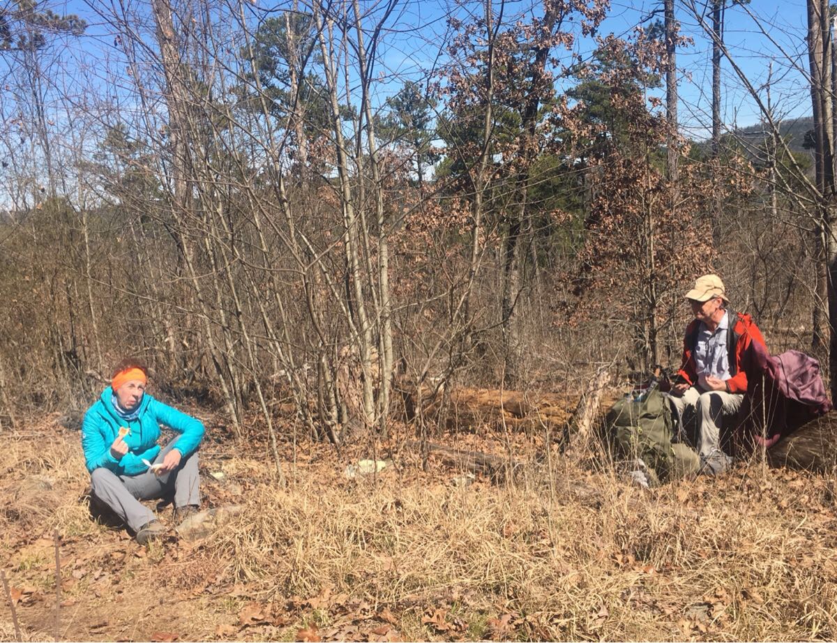
Lunch!

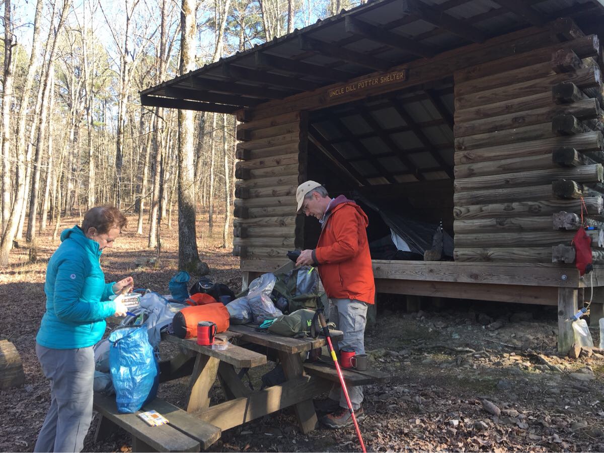
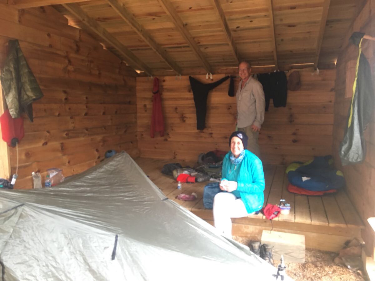
The shelters are wonderful by the way – three sided wood structures with a sleeping platform and (luxury!) a picnic table!

Hikers at a shelter

Day 2, Thu, Mar 7 (OT 127.6 to 116.6)

Slept well in the shelter – there was enough room on the sleeping platform so we were able to set our tent up next to Emerson – made it just a little bit warmer. Not as nice today – in the 40’s and overcast. Had our rain gear on most of the day. Camped at Story Creek Shelter.

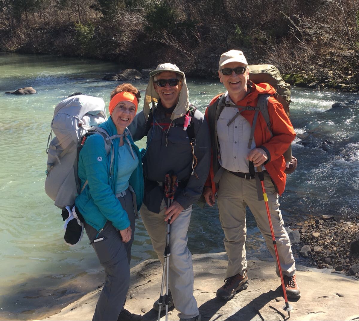
Intrepid Hikers

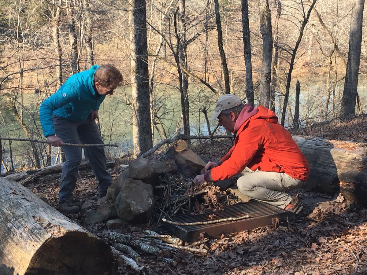
Fire experts at work…

This was another 11.5 mile day – we are starting easy. Met one group of day hikers heading east.

Day 3, Fri, Mar 8 (OT 116.6 to 100.8)

Managed to get cell coverage long enough to get a weather report and a big storm is coming through sometime after Friday afternoon so we elected to go long (nearly 16 miles) today to get to Fiddler Creek shelter. Stopped at Suck Mountain (yes, that is a real name) Shelter for lunch.

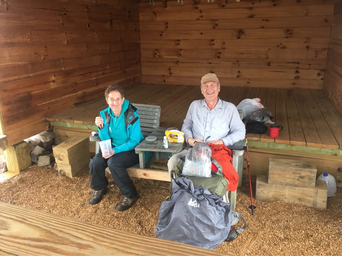
Couple of tired hikers having lunch at a shelter

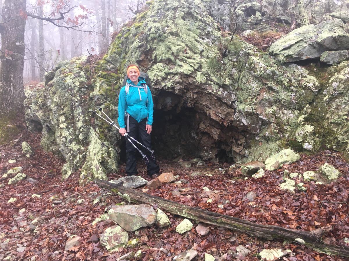
Cool cave on the trail

Met a couple of thru-hikers heating east toward Suck Mt. They were just returning to the trail after getting off for the real cold weather. Haven’t seen any animals yet but a lot of scat. We have done about 37 miles – tomorrow we will pass the half way point of the section.

Everyone is feeling good but pretty tired. Emerson surprised us with a little mini bottle of Jack Daniels – he is today’s hero

Day 4, Sat, Mar 9 (OT 100.8 to 90.5)

Good call pushing to the shelter (kudos to Roberta!) as we woke Saturday morning to a major thunderstorm – lightning, rain, pea-size hail and big winds.

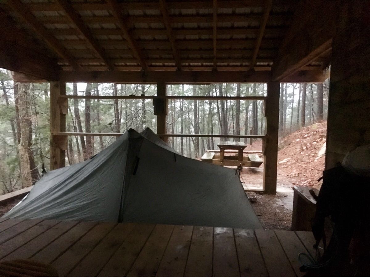
Looking out at the rain from the back of the shelter.

Left the shelter about 9:00 after the rain let up. Pretty short day – only 10 miles after yesterday’s 16. Another shelter night (Brushy Creek Shelter) – fourth in a row! Stopped at Brushy Creek CG for lunch and managed to dry out the tent and wash some pants.

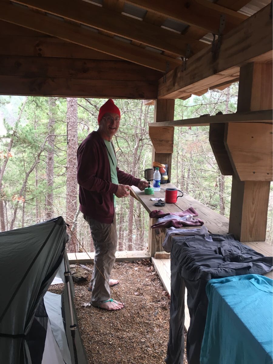
Cooking dinner – so nice in a shelter!

Relaxing at the shelter

Day 5, Sun, Mar 10 (OT 90.5 to 77.2)

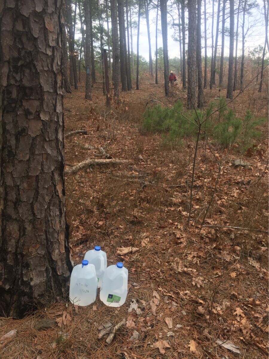
13.3 mile day and finish with a big climb up Blue Mountain where we camped for the night. Picked up our water cache at OT 88.2 (this is supposed to be 20 mile waterless section but with all the rain there is actually some water).

Water cache with Emerson arriving in the distance

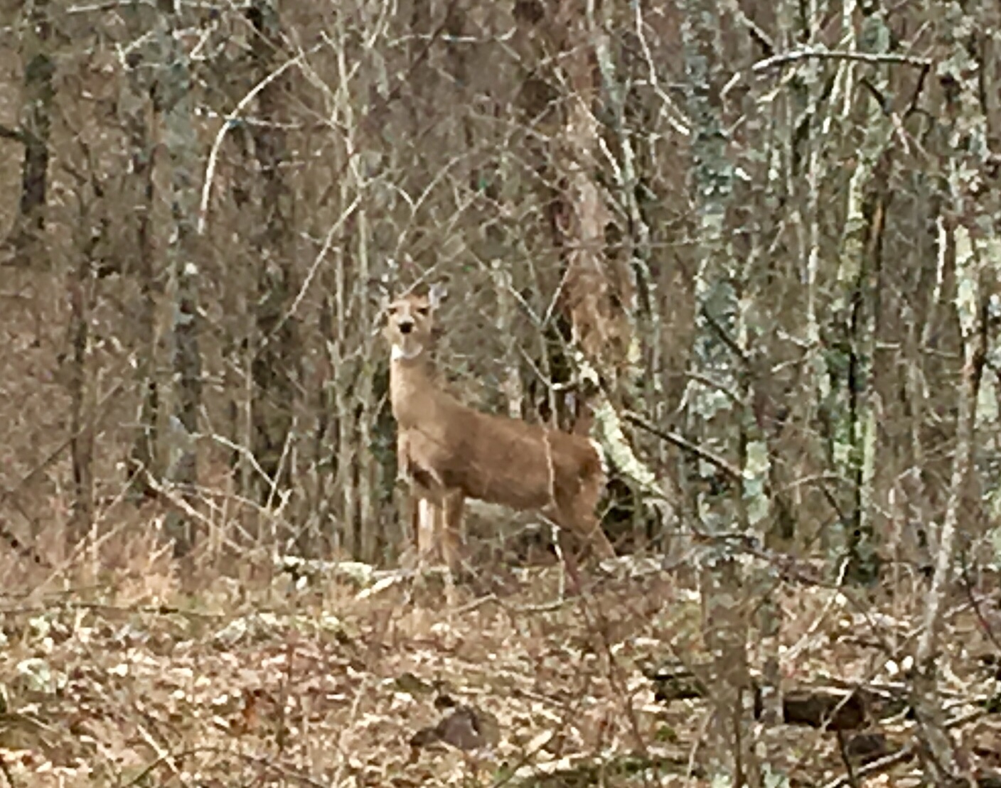
We are all pretty tired at this point and the climb at the end of the day was tough. This is our first rough camping (no shelter). Saw two deer coming up the mountain.

Deer on the trail

Day 6, Mon, Mar 11 (OT 77.2 to 63.9)

Woke to a light rain which we waited out. Finally stopped around 8:45 and we started hiking. Met three section hikers heading east just past Tan-A-Hill spring. Stopped for lunch at Foran Gap Shelter, drying off our tents. Three east bound thru-hikers from Ft Smith showed up and we visited for a bit. Unfortunately I left my hiking shirt there. Darn! Got water at a pretty little water fall just off the trail. Unfortunately Emerson ended up losing his dirty water bag somewhere around here.

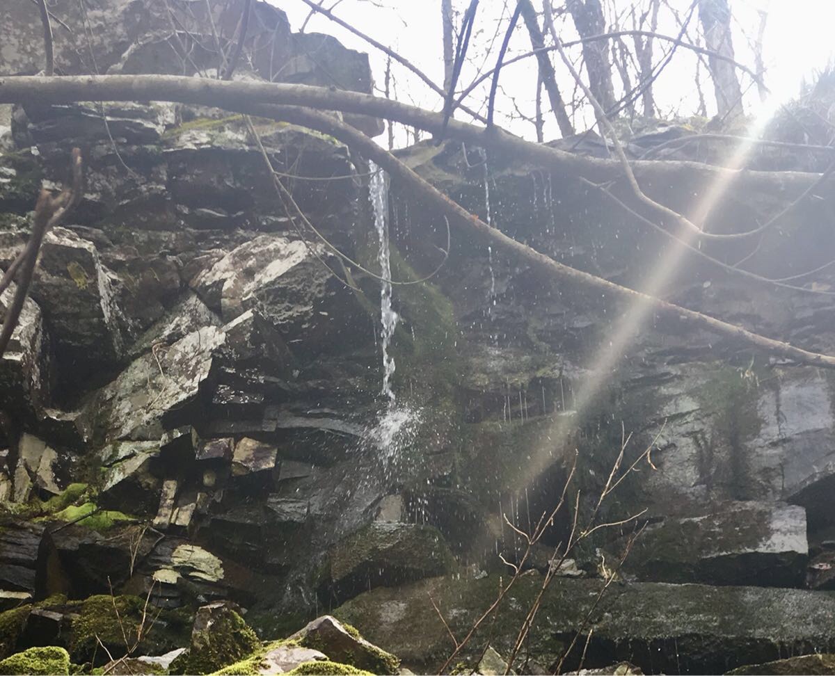
Pretty waterfall (and tasty water!)

Lovely day weather-wise, hazy sun and 50’s, I ended the day in shorts and tee shirt. Trail was not great the last 5 miles, lots of brambles and trees across the trail.

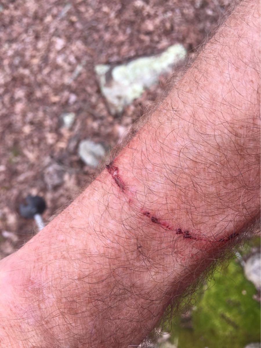
Bramble souvenir from the OT

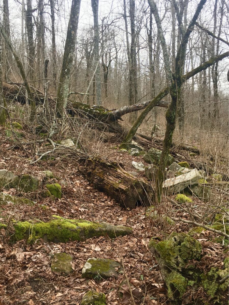
A few trail obstacles – yes, this IS he trail!

Day 7,Tue, Mar 12 (OT 63.9 to 51.5)

Thunderstorms overnight with some fairly heavy rain. Would have been nice to be in a shelter but our tent did not leak (though Emerson says his did). Waited for Emerson to run back .3 miles to retrieve his lost trekking pole before starting for the lodge and a shower!

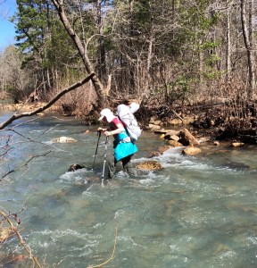
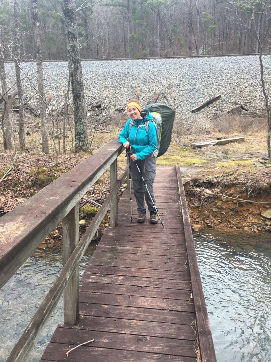
Cute hiker crossing a stream.

The trail was particularly nasty the last 5 miles, rocky, wet and not level but the promise of a warm bed and a hot shower kept us going.

The lodge….finally!

Hiker rewards

Overall it was a very rewarding week of hiking. We had some very iffy weather but always managed to be either in our tents or a shelter when it got really nasty. We hiked in 70 degree sunshine and 40’s wet and windy overcast. Sometimes in the same day.

The shelters were a nice surprise and came in very handy with the rough weather. The trail is mostly good but very rocky and obstructed in a few places. And every one says it gets worse as you head west. And it can be a tough trail. Some of the pitches are very steep.

We picked a good day for a zero. Another major front is causing heavy winds and rain outside as I type this. But it’s all supposed to pass by tomorrow when we plan to head back out.

In Mt Ida – Starting Tomorrow

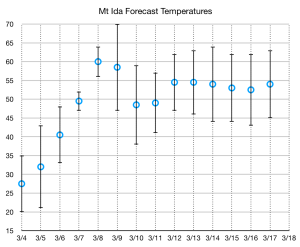
We arrived in Mt Ida early this afternoon after a cold, two day drive from Denver. Last night is was 15 degrees in Tulsa! Tomorrow promises to start cold (16-20 degrees depending on who’s forecast you trust) but should see the beginning of a warming trend that will bring temperatures back to a more normal range by Friday.

We drove the Talimena Scenic Parkway (which parallels the trail for about 60 miles) dropping off a couple of water cache’s and a food cache at the Queen Wilhelmina Lodge.

Our home in Mt Ida!

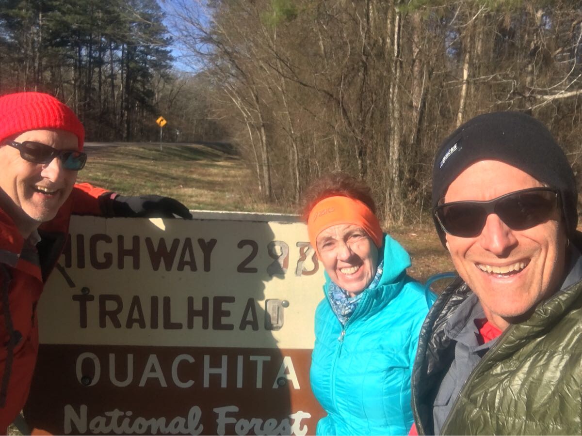
We will drive to the Blue Bell Cafe in the morning for breakfast and then  Lori (the proprietor) has promised us a ride the trail (Mile 138.4, where we exited the trail last February) and we will be off!

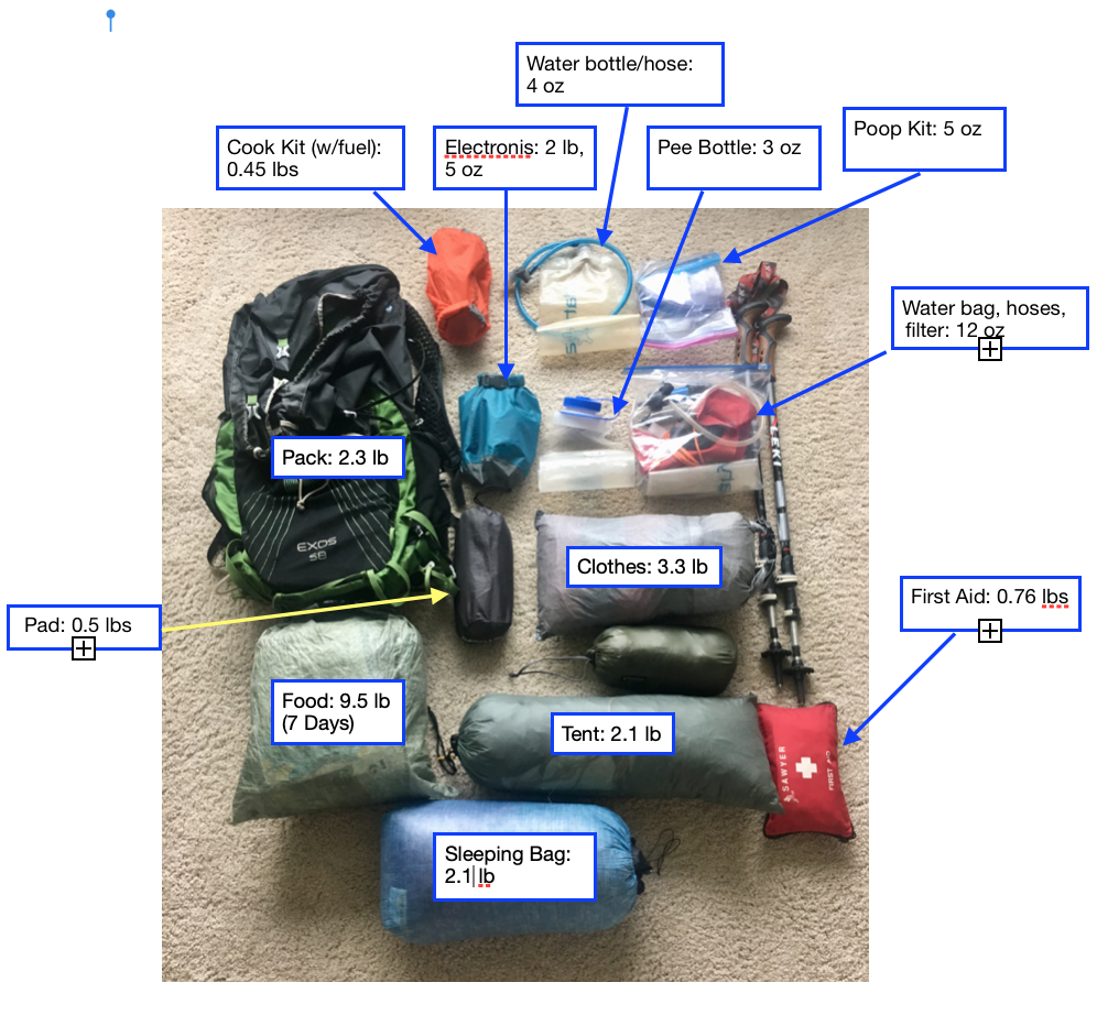
We did a final pack check and weigh-in while waiting for Emerson to show up. These are our final weights – they are a bit lower than expected because we will be wearing a lot of our cold-weather clothing when we start in the morning. This is with 7 days of food  and 2L of water.


Delayed Start…

With the forecast of an unusual late season arctic cold front blowing through the central part of the country on the very day we had planned to start (Mon, Marc 4) we have decided to delay our start by two days. We will now be leaving from  OT Mile 138 (about 10 miles east of Story, Arkansas) on Wednesday, Mar 6.   As I write this (Sunday morning, Mar 3) it is -1 degrees in Denver and 36 degrees in Mt Ida.

The projections show a 20 degree average temperature rise from Monday to Thursday. After that the temperatures are more typical (40-65) for this time of year. We will probably get some rain but, especially after last year, we don’t want any more sub-20 degree nights.

Ouachita Trail…. 2.0

Getting ready for the trail with two weeks to go. Base weight is coming in at about 15.5 lbs. With 9.5 lbs of food (first 7 days) and 2L of water (4.4 lbs), pack should be just under 30 lbs when we start.

Screen Shot 2019-02-16 at 4.26.18 PM
Everything but the water!

Here is the plan:

  • Drive from Denver – Leave Sat, Mar 2.
  • Overnight in Tulsa  – Sat Mar 2 – long day (10 hour drive) but makes tomorrow much easier.
  • Drive to Mt Ida – dropping off water at two cache sites – 4-5 hour drive:
    1. Cache #1: Deadman Gap (OT 8.0)
    2. Cache #2: OT 86.0
  • AND dropping off our food cache at the QW Lodge (OT 51.5)
  • Overnight at Royal Oak Inn (Sun, Mar 3)
  • Get Lori (or someone) to get us to the trail on Mon Mar 4, OT  138.4
  • Hike for 7 days, 88 miles,  12.6 m/day, arriving at the QW Lodge on Sun, Mar 10. Two nights at the lodge, Sun, Mon, Mar 10-11.
  • Leave early Tue, Mar 12 for the final 51 miles
  • Arrive at the TH early Sat, Mar 16 (Sat) 
  • Get a ride from Talimena State Park (Michael, Ouachita Trail Guide) back to Mt Ida.
  • Spend two night in Mt Ida, Mar 16,17
  • Head home to Houston on Mar 18.

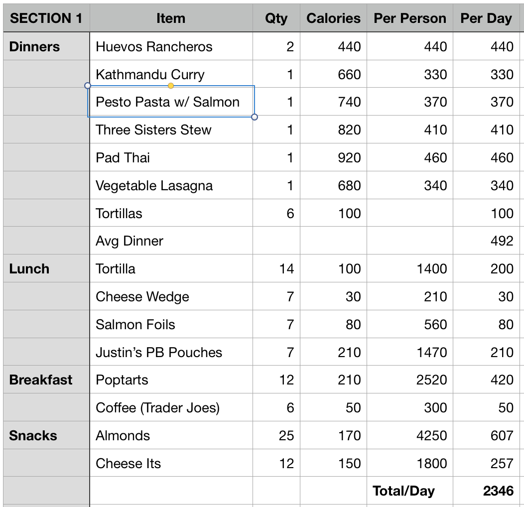
We have all our food.  We plan to share the prepared freeze-dried meals for dinners (what Roberta calls “glop”). I’ll be eating about 2400 calories a day which, for 13-14 mile days is about right.

Screen Shot 2019-02-16 at 4.45.00 PM