AZT 2021 – Week One

Well… things did not turn out quite like I had planned… as usual. My modified plan had me hiking roughly 250 miles from Patagonia (where I was chased off the trail in 2020 by the pandemic) to Superior (just eat of Phoenix). So… what happened?

Getting to the Trail: Wed-Thu, Mar 10-11

Bert dropped me off at the Amtrak station so I didn’t have to walk there which was nice.
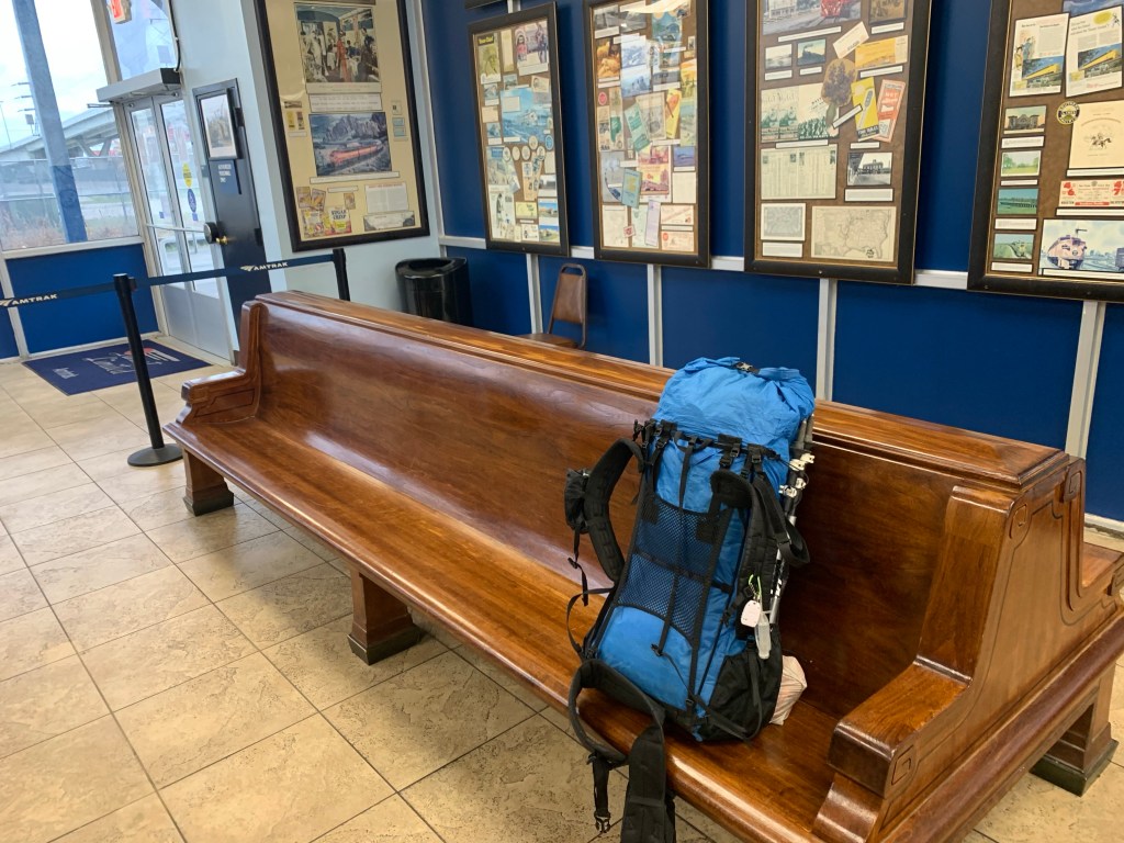
Houston Amtrak station.

Boarding the train was easier than even taking Greyhound. Just showed the conductor my printed ticket and got on. My “sleepette” is a private 2-person sleeper compartment. Kinda expensive ($375) for one person but not bad for two (meals are included and one free drink!). Room is about 7’ by 4’ with two facing seats that slide together to form a bed. There is also a drop-down upper bunk bed. It’s very nice and clean. There is an attendent who will bring your meals and help you arrange your bed (but, being an engineer, I did it myself of course). The toilets are down the hall and there is even a shower (though I have not checked it out yet).
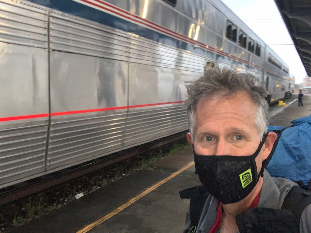
My train!

Interesting night on the train – a bit noisy when we pass through towns. The Train follows US90 out of Houston and then heads west. When I woke up we were in Del Rio, right on the border. Top speed seems to be 80 mph but we do that rarely and we slow down a lot in towns. We were doing ~20 in Houston.

We hit Tucson about 8:15 PM (about and hour and a half late). Got a Lyft from Steven (from Wisconsin) for the ~$100, 60 mile ride to Patagonia. He regaled me the whole way with stories about how he survived a massive heart attack last May (he’s 58) and almost died. Got to the Stage Stop Inn at 9:30 and they had my key in an envelope at the front desk (I called ahead and told them I would be running late).

Day 1, Fri, Mar 12, Patagonia to AZT 66.7, 15.6 miles, 3350’

Up at 5:00 and it is COLD! 37 degrees – looks like I might be starting in my puff? Sunrise is at 6:30 so that is when I plan on starting. Leaving with ~2L since water looks pretty good today.

Hiking our of Patagonia – headed north.

Tough first day! Had some Leg cramps near the end. Hiked for a couple hours with Trail Jesus, a young, 27-year-old Hiker from Arkansas who has taken to the trail to kick his meth habit and was down to only three cigarettes a day.

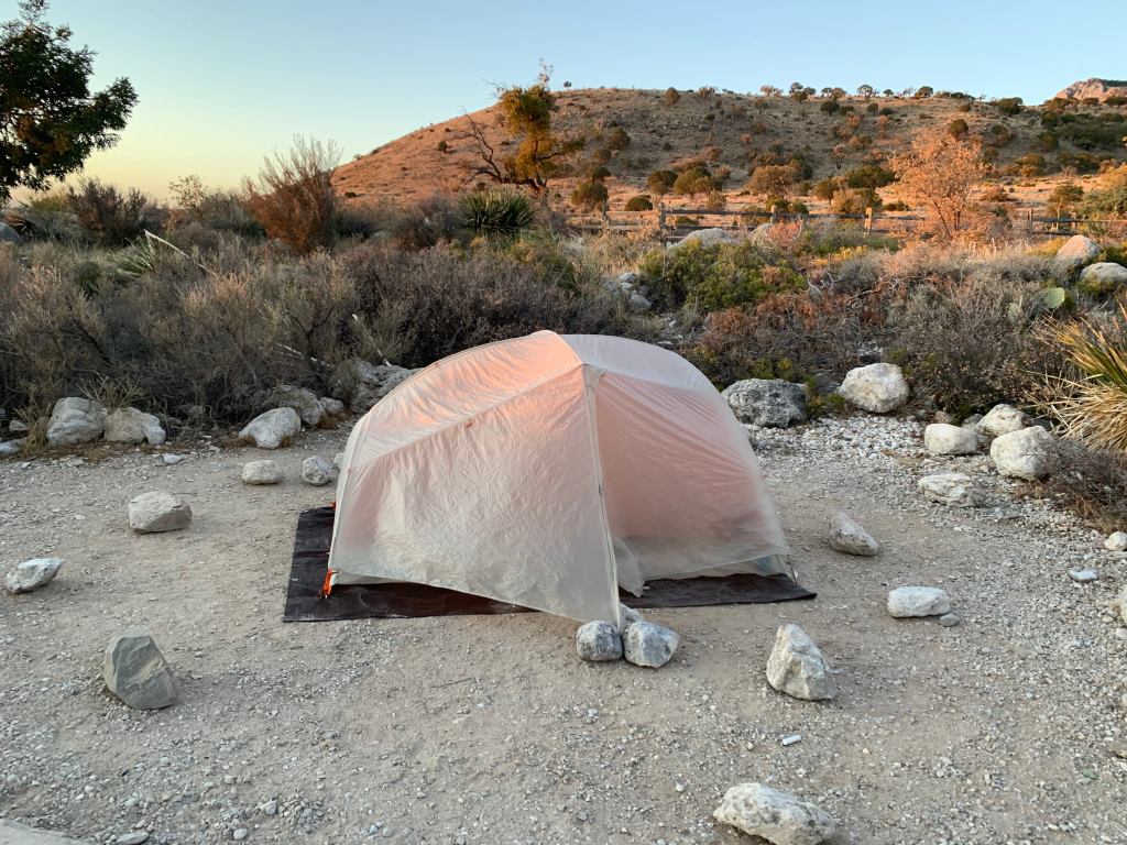
Campsite day 1

Did the planned 15.5 miles today. About 3300 feet of climbing, very tough first day. I am currently at Casa Blanca Canyon, AZT 66.7, Elevation 5767 feet. Nice campsite with pools of water in a creek bed about 50 feet away.

The weather was nice. Started very cold but warmed up in the sun. Temperatures were in the low 50s most of the day, sunny and a little windy. Met a total of six hikers today.

Bill (“Two Pillows” and, yes, he has two pillows) and Deb (”Hot Sauce”, don’t ask, it’s personal) showed up around 3:30 and asked to share my campsite. They met on the trail. Deb is from Flagstaff.
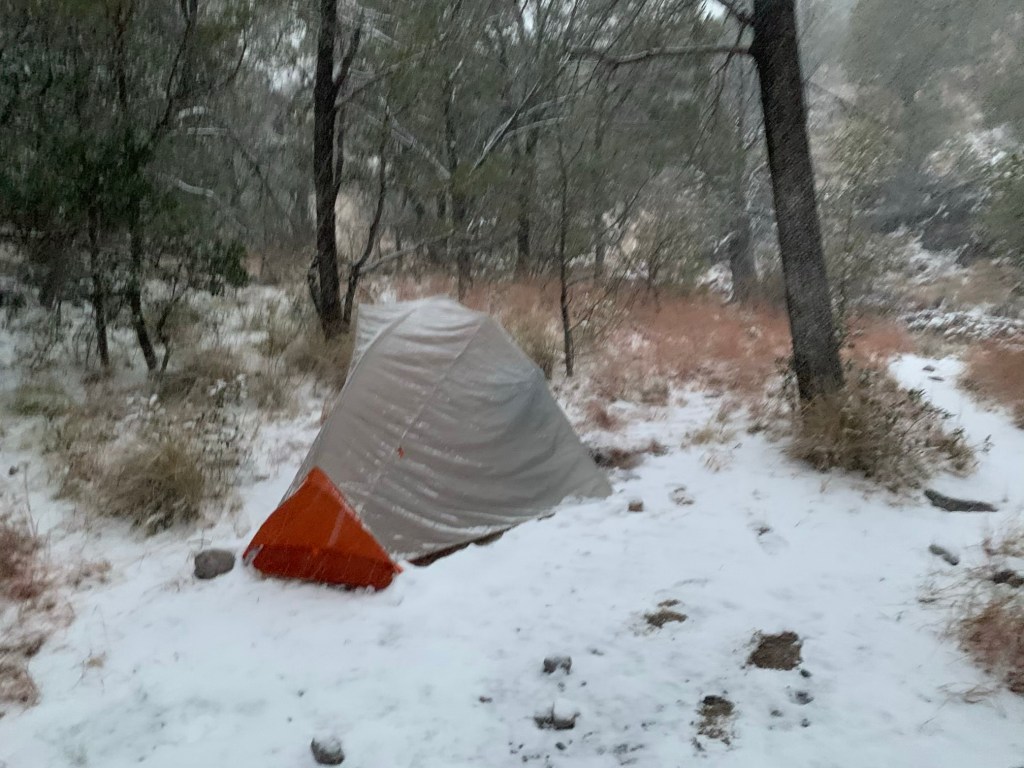
… and the following morning!

Day 2, Sat, Mar 13, AZT 66.7 to 84.1, 17.4, 1,850’

Woke up to a coule of inches of fresh snow and it pretty much snowed all morning. Did not see another hiker all morning – I think everyone else just stayed in their tents!
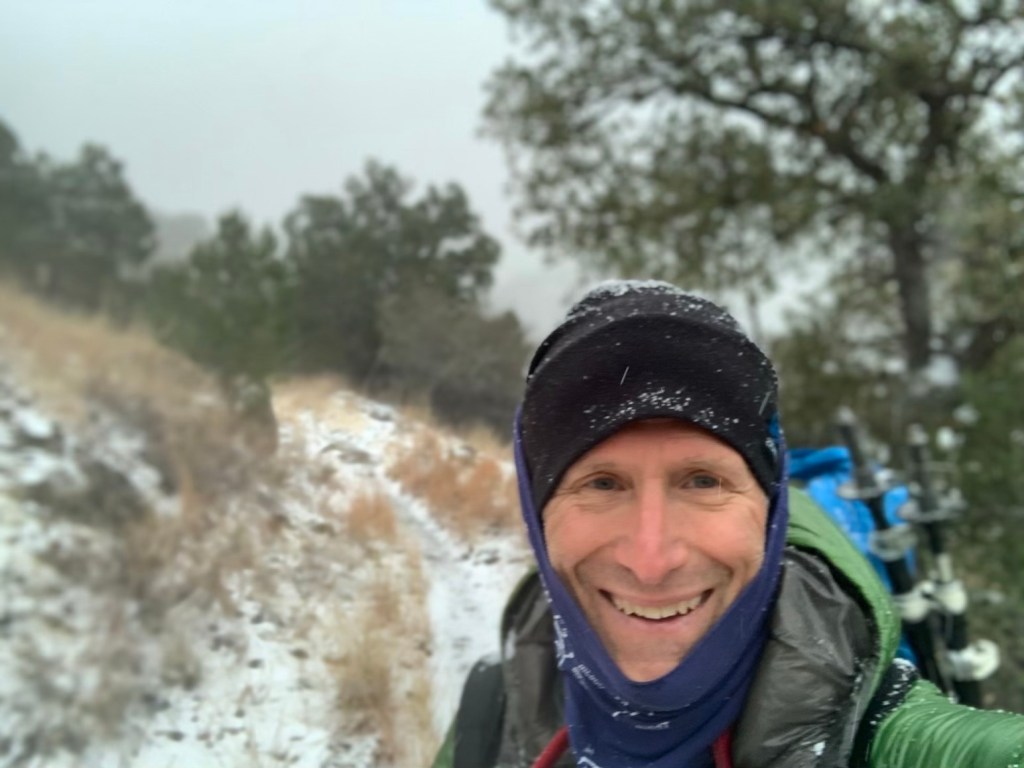
Walking in the snow….
One cold cactus!

Made it to Kentucky camp around noon. Was a much needed respite after hiking all morning in the snow and wind. Made coffee and had a nice lunch. A hiker joined me as I was getting ready to leave – Goose. He said he had camped with a fellow who woke up nearly in tears because he had never camped or hiked in snow before. Goose asked him if he needed a hug. He said yes and Goose gave him one.

Kentucky camp – no heat but out of the wind!

Sun came out, finally, in the afternoon but it was still windy. Plan is another 6 miles to camp.

Nice AZT cow gate – camped near here.

Afternoon hiking was much nicer than this morning’s snowstorm. Unfortunately Boden Spring, where I had planned to camp, not only had no water, it was a good half mile off the trail. So … back to the trail and another couple of miles to a trail head where some nice people had left public water. On the way I bumped into my first thru-biker. She had waited out the snowstorm and decided not to bike at all today.

Not the greatest camping spot, it’s basically next to a dirt parking lot and there is a lot of four-wheeler traffic on the road because today is Saturday. And it is very windy. But no snow.

Day 3, Sun, Mar 14, AZT 84.1 to 100.2, 16.1, 1,750’

Note to self. Make sure the tent site is flat! Water is tough today. Only for-sure water is at 2 miles. So my plan is to leave here with 4 L. Should have water tonight, but the sources say the water is” muddy”. About 33° this morning when I woke up and windy but no snow.
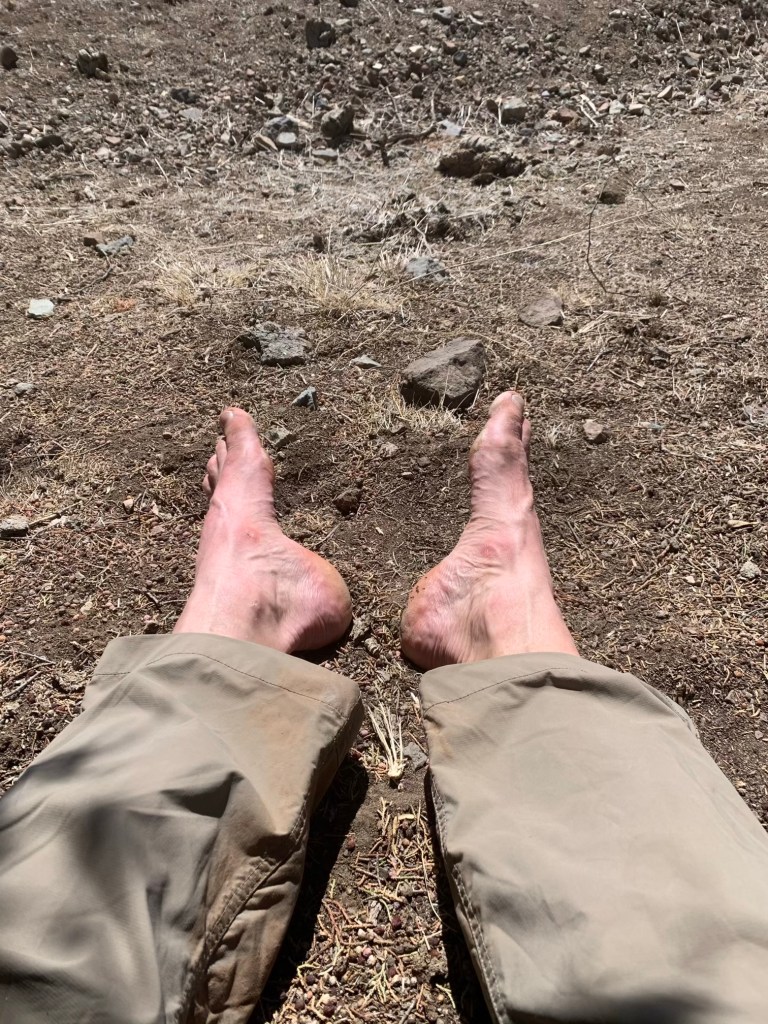
Resting the footsies at lunch

Stopped for lunch at 10 miles in a little draw out of the wind. No water this morning anywhere. Goose showed up just as I was getting ready to go. He’s much younger than me and plans to go all the way to the highway today. I think that is another 12 miles from here. I’m counting on either a public water cash or, more likely, a cow pond.

I was able to find water in a small wash so I didn’t have to stop at the “lake” (i.e. a cow pond).

A “good” water source on the AZT – not a cow pond!

I pushed on a couple more miles to Twin Tanks. Fortunately I don’t need any water from the tanks because the water is pretty nasty. “Tank” by the way is an AZT euphemism for a cow pond.

Lovely Twin Tanks and…
… my campsite for night #3.

Hot Sauce, Two Pillows and some other folks showed up an hour or so after me.

Other folks at Twin Tanks as I headed out.

Day 4, Mon, Mar 15, AZT 100.2 to 119.2, 19.0, 1,250’

Got an early start, 6:20. It’s a beautiful morning about 38° or 39° and sunny. I’m a little worried about my phone charge. I’m going to have to be careful with phone usage.
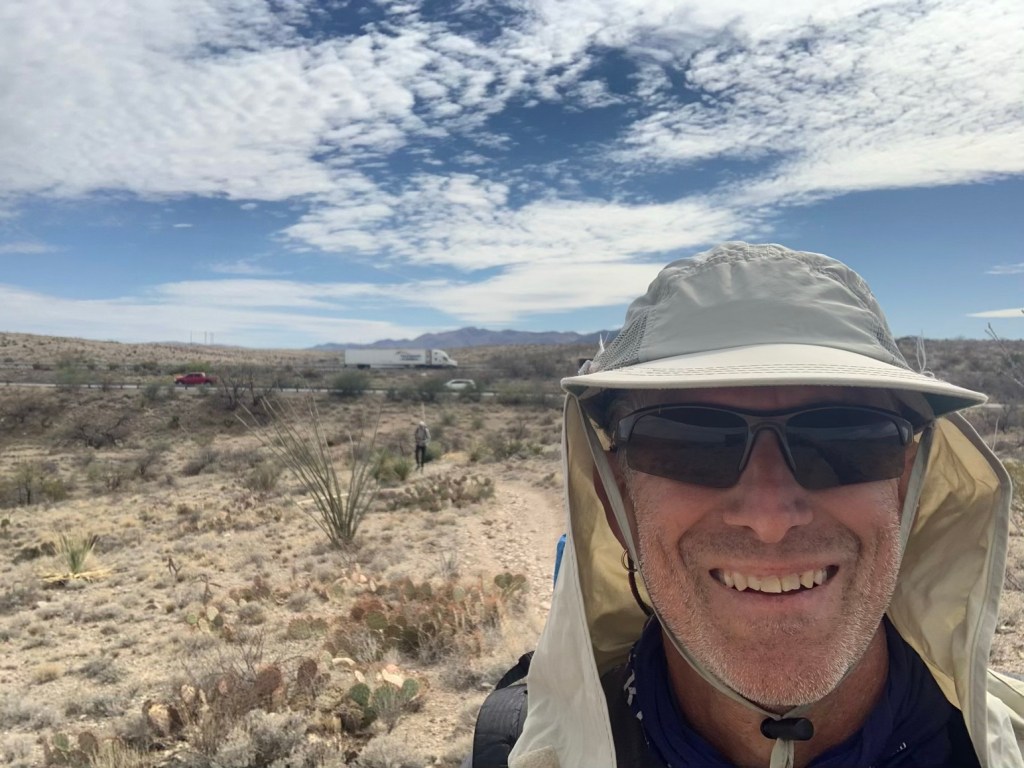
Had a quick lunch at a TH (11;00, 12 miles) just passed where the trail crosses I-10. After talking with some folks I decided to try to make it to Colosal Cave, where they are rumored to allow phone charging.
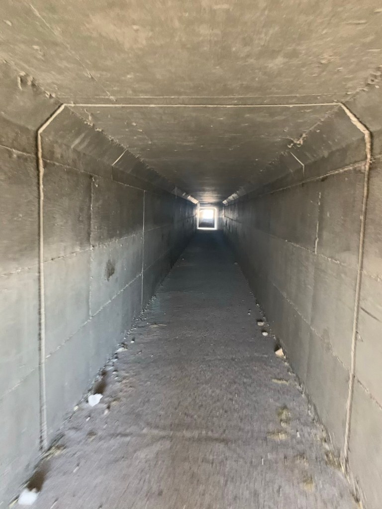
Tunnel under I-10

It was a relatively flat day so I was able to do 19 trail miles (but well over 20 with the hike into Colossal Cave). Hopscotched with Nolan most of the day – he has a package supposedly arriving at Colossal Cave tomorrow.

We arrived together. Snack shop has beer and not much else but the hiker box is good – scored some Idaho potatoes. And I was able to charge my phone a little (and battery).

One of the Coati that hang out at Colossal Cave

Plan to charge some more in morning since I want to be at Rincon Creek tomorrow and it is only 10 miles. Also supposed to be Trail magic at 122.3.

Day 5, Tue, Mar 16, AZT 119.2

Shared a campsite here at Colossal Cave with Nolan. I am currently in the bathroom of the terrace café trying to stay warm while my battery charges. It is 7:15 AM.

No heat, but no snow or wind.

Nolan‘s package is here but they won’t give it to me. He has to show ID. I had planned to charge for another 15 minutes or so and then head back to camp and then start hiking.

But, of course, it started to snow. Again. The weather report from Vail shows warming trend after today. I am feeling okay though my stomach is a little woozy this morning.

Back in the bathroom. Started back down to the camp but it’s snowing/sleeting pretty hard and very cold. And I don’t have my rain jacket just my puff. So I am hanging out in the bathroom until it gets better.

While waiting for my battery to charge and the snow to stop my stomach really started to act up. Walked back to camp and met Nolan coming up on the way. By the time I get to camp I had pretty decent stomach cramps and not feeling very good. Bad water?

And it’s still snowing. I decided to call an early stop to the section. With all the snow I am concerned about how much snow we will have going over Mica Peak. And also, I am worried about that big 5,000 foot climb tomorrow with my stomach cramping.

So …. new plan! I decide to try to get into Tucson from and take an early zero.

Try talking up one person in the parking lot had no luck so just started hiking toward Vail. It’s only 6 miles and a pretty easy road walk but with my stomach I’m a little worried. About a mile down the road the very first car the passed me (there’s very little traffic on this road), slowed down and asked me if I needed a ride! A couple from California just tooling around Arizona on vacation gave me a ride to Vail. Once there, I tried to get a Lyft from Vail to Tucson with no luck! Not sure why – Tucson is only 10 miles or so west of here.

I needed a place with access to a bathroom and also I was getting a little hungry so I walked to Montgomery‘s Bar and Grill in Vail.

There was no one there but me (it’s only 11 o’clock), and I ended up talking to a lady who later turned out to be the owner. I asked if she knew how I could get to Tucson and she said if I was willing to wait till 1:15 she could give me a ride. More trail magic! Had a beer and a sandwich while I waited for my ride!

Turns out the hotel I’m staying at is only a small detour for the owner so she drop me off in front of the hotel. I was in my hotel by 2 PM taking a shower. Now I have to decide what I’m going to do next. Call Roberta around three and talk to go over with her. With the extra days I have more options on the next section. And then I ordered a pizza.

***********************************
Heading Back to the AZT

Getting back to the trail while trying to avoid as much contact with other people is the goal. Because of the pandemic I am uncomfortable flying so I have elected to take Amtrak (Sunset Limited) from Houston to Tucson and then taxi/uber it to Patagonia (where I stopped last year). I am getting a sleeper compartment so I won’t be around other people but it does take 25 hours to go from Houston to Tucson.

So, slower and more expensive but… it’s a train! And train travel is infinitely more civilized than flying.

Trail Closures

As late as a month ago there were two fairy sizeable trail closures because of fires last year. In late February the Bush Fire trail closure (AZT 354 to 387) was lifted. On March 2 the Bighorn Fire trail closure (from AZT 125 to 144) was also lifted. This means the only portion of the trail that is off limits is the 2 miles or so at the southern terminus (thanks to Trump’s wall) but I did that part last year so….. not a problem for me.

Water

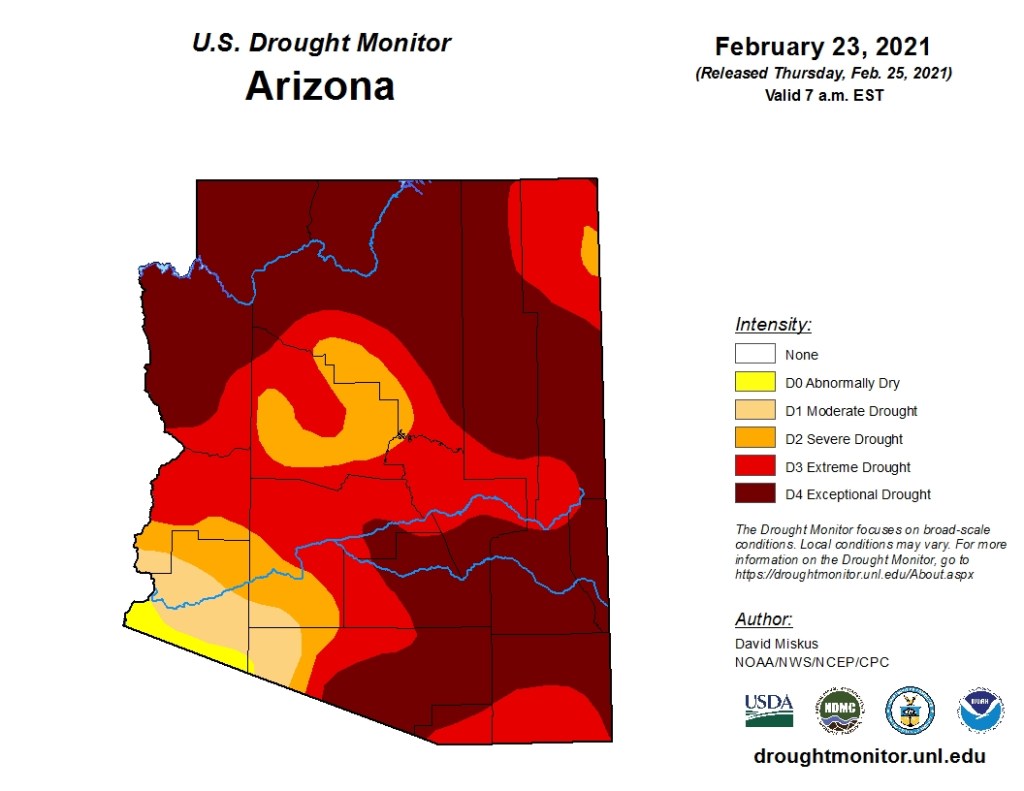
Arizona, and indeed most of the southwest, is in a major drought. So, the normally very dry AZT is even drier.

Change of Plans

I had intended to return and spend 6-7 weeks finishing the trail but, because of Covid, I have compromised and will only be doing 250 miles in two long sections (from Patagonia to Superior, just east of Phoenix).


Guadalupe Peak

Well, the plan was to spend 4 days hiking in Guadalupe Mountain National Park, culminating in a climb to the highest point in Texas (Guadalupe Peak) on the last day. So much for plans….

We arrived at the visitor center late in the afternoon of Dec 3 and it was cold… and getting colder. The Ranger who gave us our backcountry permits reminded us that the backcountry campsites were several thousand feet higher than the visitor center (5,800′). Using the old rule of 5 0F per 1,000′, that would be 10 degrees colder than Pine Springs CG (where we were spending our first night).

We quickly set up our tent as the temperature plummeted from the balmy 45 degrees when we arrived. We ate a quick dinner in the car and were in our sleeping bags by 6:00 PM to try to get warm.

Home for the night – Pine Springs CG

By morning our plans had changed. After a night of trying to sleep (wearing everything we had inside our bags) we realized that camping even higher would be a disaster.

We decided to do the ~8.5 mile (round trip), 3,700′ Guadalupe Peak climb and then skedaddle into town and a warm motel.

Starting up the mountain!

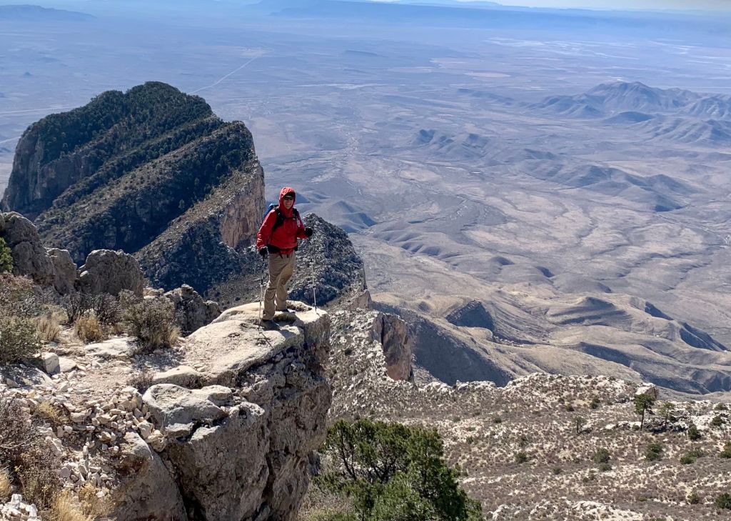
We started up around 7:30 (temperature had warmed up to 30 degrees or so). It is basically a 4 mile, 3,700′ climb that is pretty steep in parts. But the weather was great for hiking and the sun was out!

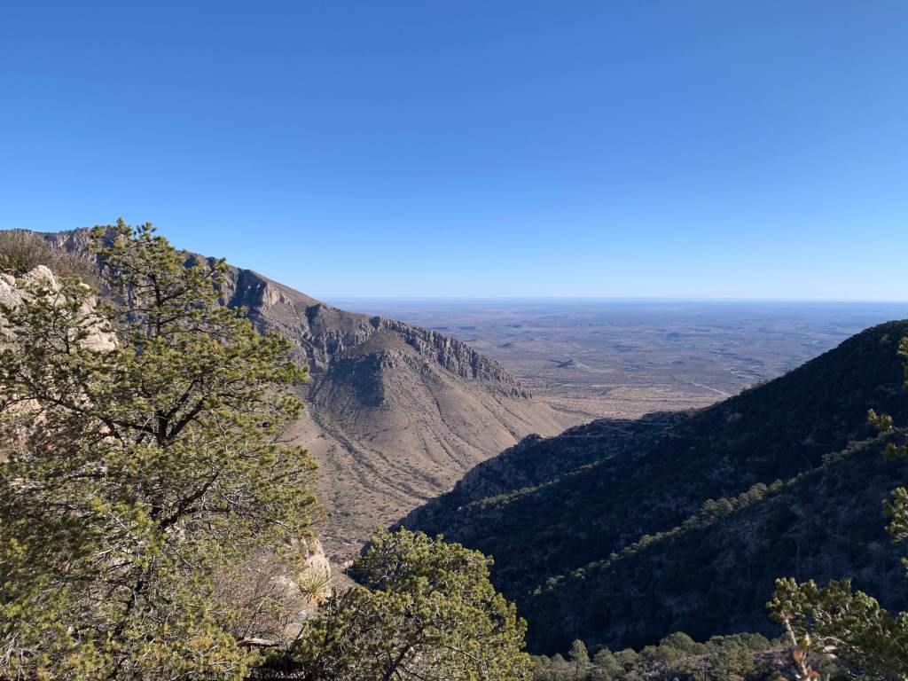
View from about 1,000′ up.
Another nice view.

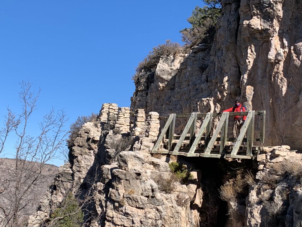
You can’t actually see the peak as you climb – it is always over another ridge. The trail is rocky but in good condition. At one spot there is even a bridge over a small chasm.

Bridge in the sky! Roberta made me go first.
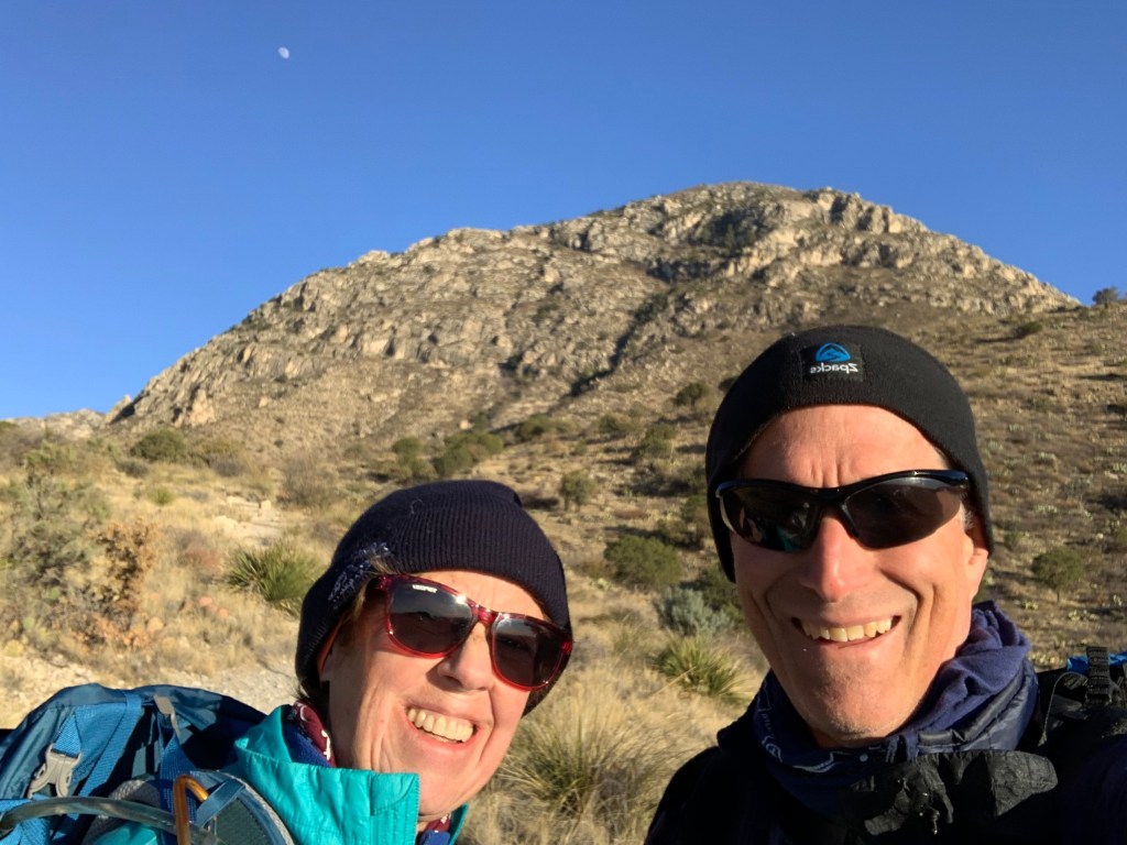
Mountain man! Nearing the top.

In the visitor center they say to “plan on 8 hours” to climb Guadalupe Peak. We reached the top in 2:45 after passing two couples. Much younger couples. Very satisfying.

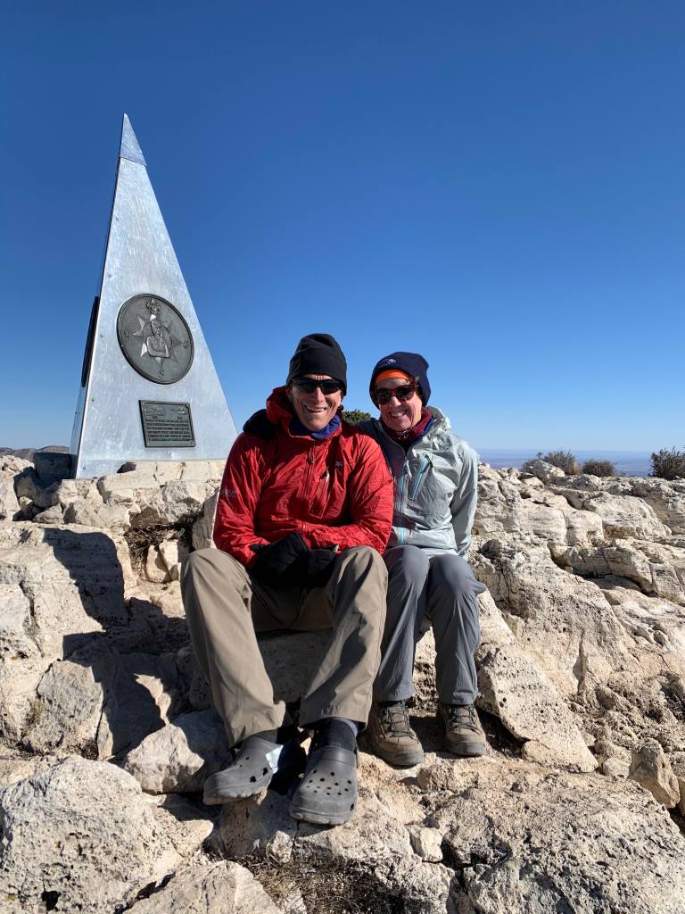
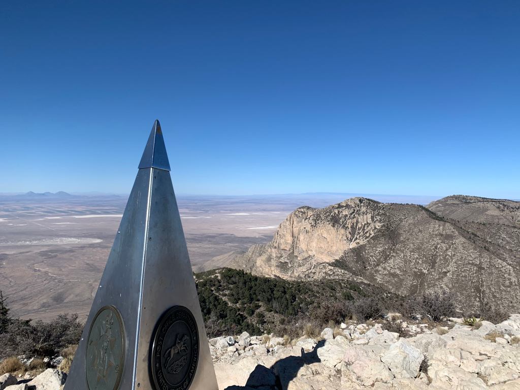
On top – 8,750 feet! The roof of Texas!

There were only a couple of people on the top but more started to arrive so we only stayed for 15 minutes or so before heading down.

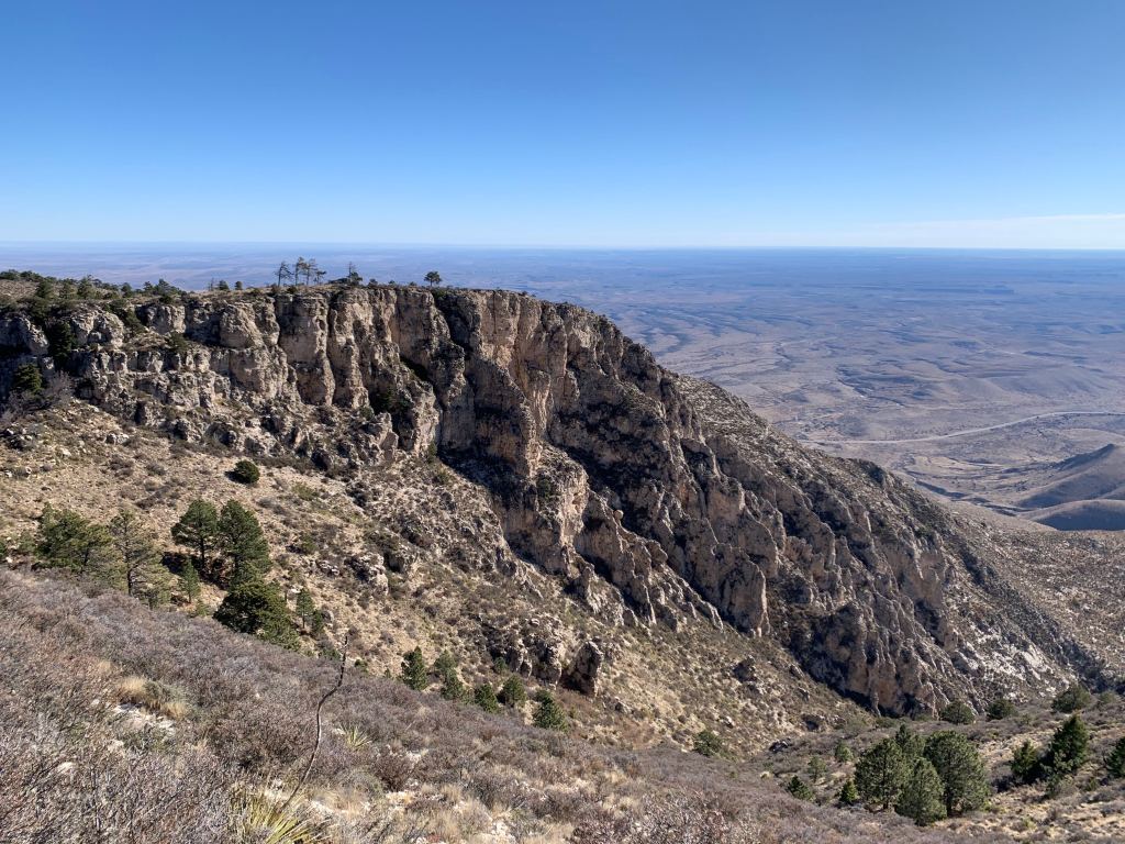
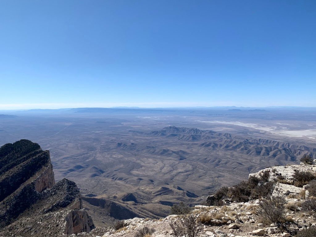
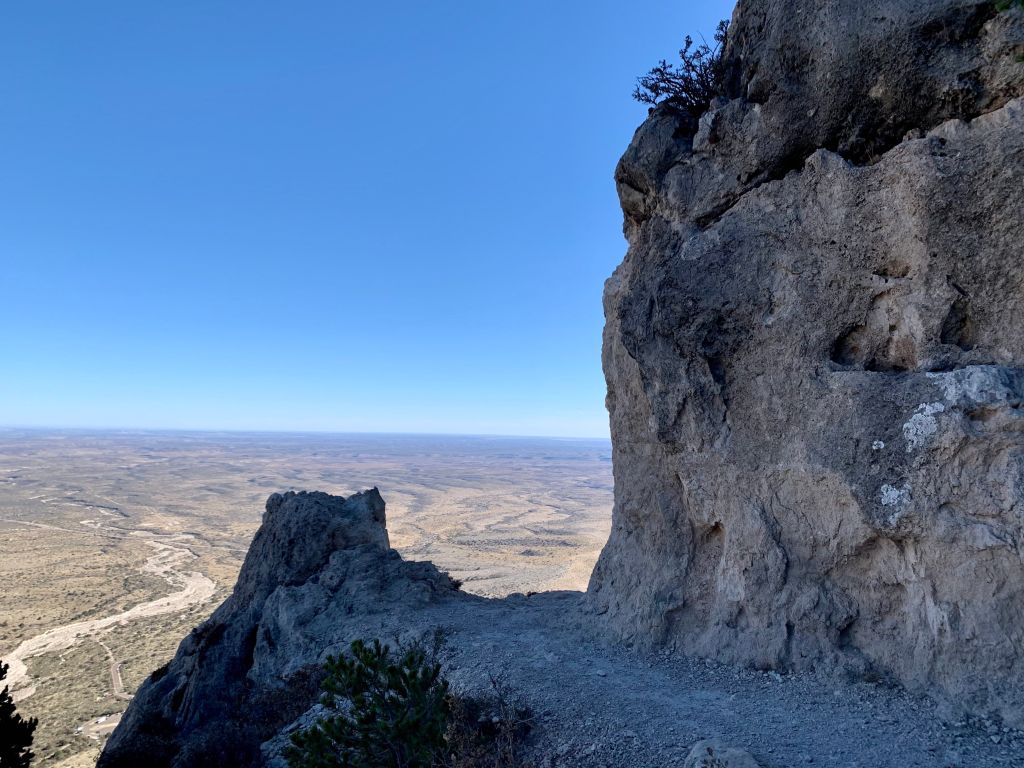
View from the top – looking south. That’s all Texas down there!
Another view from the top.

We were back down around 1:00. Thinking of a warm bed and a hot shower.

View on the way down.

Decize Update…

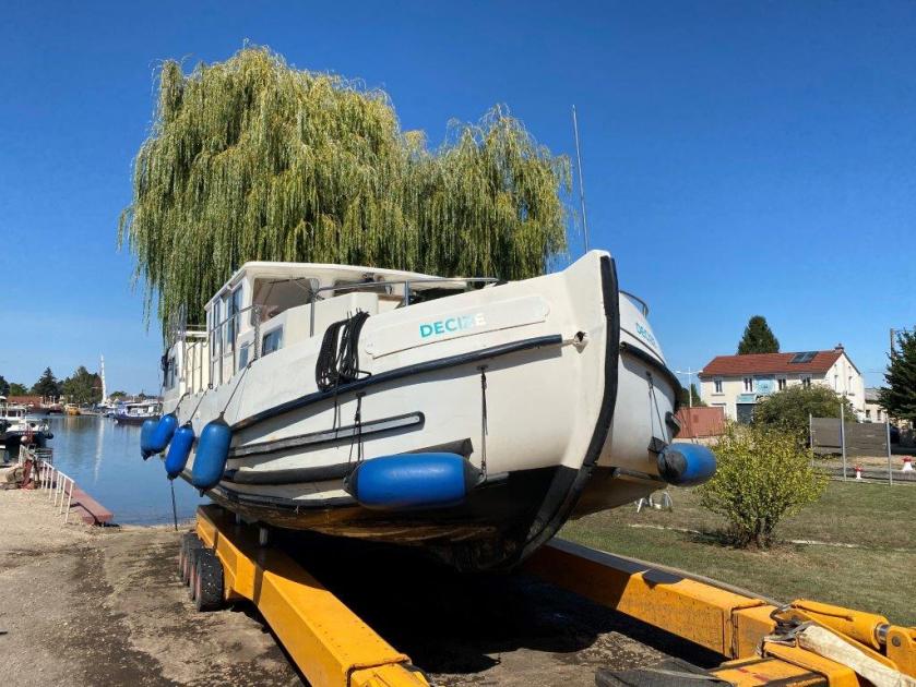
Decize “on the hard” in St Lean de Losne.

Owning a Boat in France in the Time of Covid

Our plan had been to spend the summer in France, slowly moving Decize from the Locaboat base in Briare to our reserved slip in Auxonne on the Saône River. But then Covid-19 happened and France barred Americans from entering the country.

We managed to find a captain willing to move our boat and by mid-September our boat was in the H2O shipyard in St Jean De Losne (just a few miles from Auxonne).

Decize is over 20 years old so is in need of quite a bit of mostly cosmetic repairs. We have asked for a quote to clean and repair the hull, replace the rub rail, and re-paint the hull and superstructure. We had planned for this but had expected to be there to discuss the work in person.

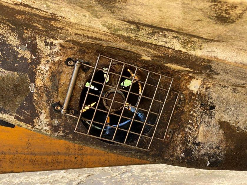
I will post details as the work proceeds. Hopefully we will be able to get to France next summer.  Here are more pictures showing hull damage.

Rub rail damage.

Keel, rudder and propeller

Looking down the hull

The bow thruster inlet/outlet

More hull/rub rail damage.

Final Post…..

Trip Summary

Back home!  Here are some trip statistics:

    • Number of Days:    44 (July 29 – Sep 11)
    • Number of States Visited:    15
    • Number of New States:      11
    • Miles travelled:   5,500 (approx.)
    • Nights Camping:  14
    • Nights Hotel:  8
    • Nights AirBnB : 22 (3 weeks in Colorado Springs)
    • Number of Trump signs seen:   Too many (mostly in the UP Michigan)
    • Number of  Biden signs seen:   Not enough, not nearly enough.
    • Number of semis that we sat behind while they took forever to pass another semi:   9 million (approx.)

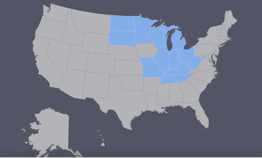
Our new states

Our  new states from this trip ….

    • S. Dakota
    • N. Dakota
    • Minnesota
    • Wisconsin
    • Michigan
    • Illinois
    • Indiana
    • Ohio (Bert)
    • W. Virginia
    • Tennessee
    • Kentucky
    • Missouri

Heading Home

Tennessee

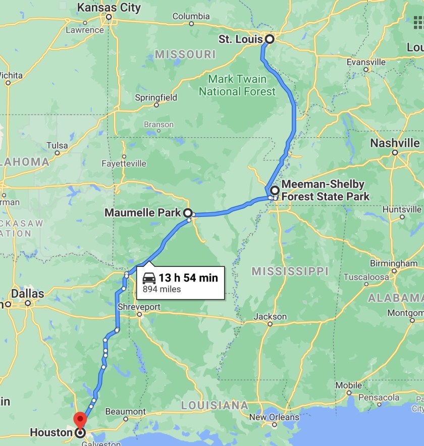
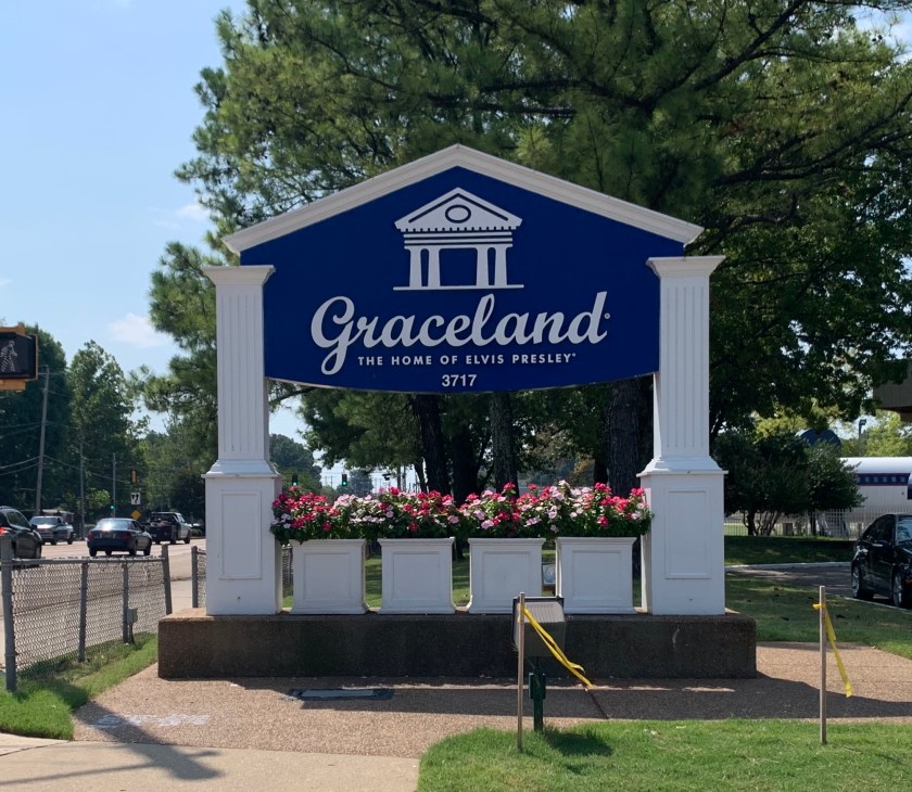
We picked up our final new state the first night, camping at Meeman-Shelby State Park just outside of Memphis. Of course we had to swing through Memphis to see Graceland.

Elvis wasn’t home.

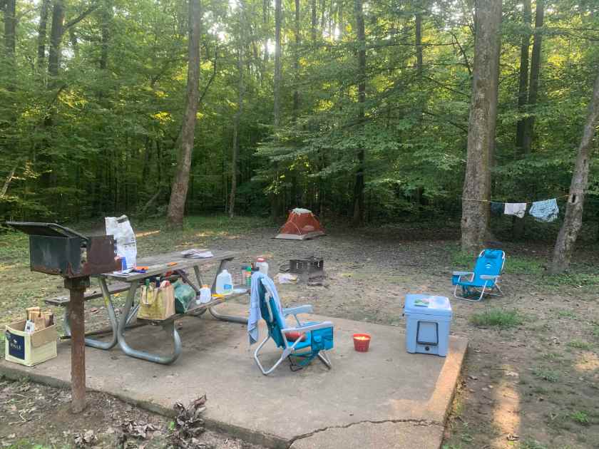
We were only there one afternoon (on Wednesday, Martini Night!). We set up camp and did a quick hike. The park is near the Mississippi but we couldn’t see it from the campground.

Our Tennessee camp

Tennessee walking…

And there was no cell coverage anywhere in the park but they leave the wifi on at the Ranger Station after hours so we took our camp chairs, martinis and laptop and set up outside to zoom for Martini Night. Resourceful!

Arkansas

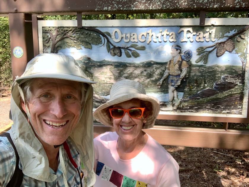
For out last night before the final push back to Houston we stopped at a campground just west of Little Rock, where the Ouachita Trail starts (or ends).  It was a lot warmer than when we were here last – close to 90 degrees.

Returning to the scene of the crime (sans Emerson).

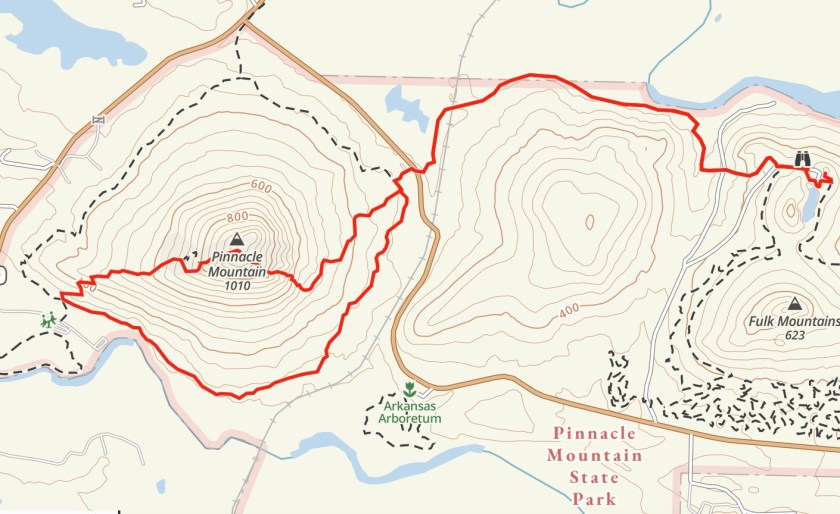
After setting up our camp we decided to climb Pinnacle Peak, which we thought would be an easy hike. It wasn’t.

Pinnacle Peak hike.

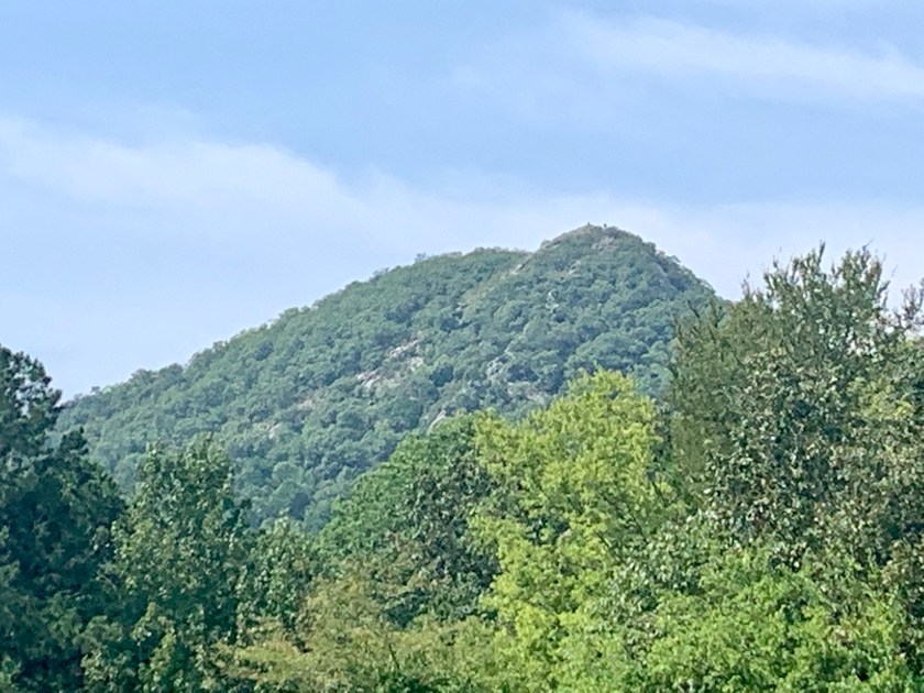
Pinnacle Peak from the trail

We started at the visitor center and hiked the first mile of the Ouachita Trail to get to the Pinnacle East trail. The last 500′ of elevation of the climb was a steep, steep rock scramble.  When we got to the top we talked to some people who had come up the west side and said it was not bad so, even though it meant circling the base of the mountain, we went down the west side. It was a good call, even though it added three miles or so, it was much nicer.

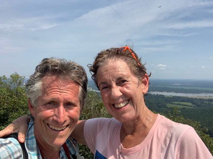
Two hot, tired, puppies on the top of Pinnacle Peak.

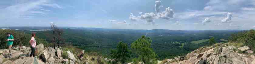
Panorama from the top.

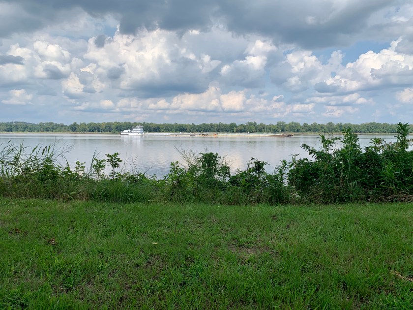
The campground was nice but we are definitely back in the south. It was still 80 degrees when the sun went down and it was well after midnight before it was cool enough (low 70’s) to sleep comfortably. But we were right on the Arkansas river and it was very pretty.

View from our camp


St Louis

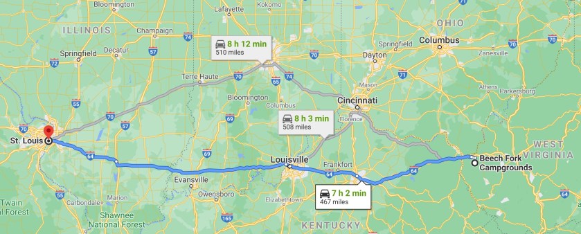
Leaving the wilds of W. Virginia we headed back west on a long travel day to get to St Louis.  Our hotel was on the west side of St Louis, about 7 miles due west of the famous arch and right next to a huge park.

Our hotel location

Our hotel was a quirky, English-styled inn with themed rooms (we stayed in the W. H. Auden room right across from the Sherlock Holmes room).

View from boat.

Besides bagging Missouri and seeing the arch, we were in St Louis to visit our good friend Miriam who left Houston nearly 15 years ago.

We spent the afternoon of our first day with Miriam who took us on a tour of downtown St Louis. We visited the arch (but did not go inside because Covid-19) and then took a boat ride on the Mississippi (all outside).

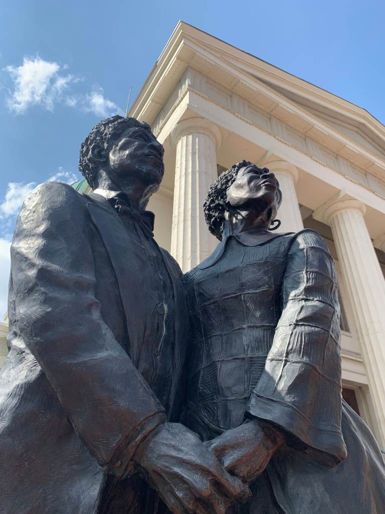
Statue of Dred and Harriet Scott, who filed for their freedom at this courthouse in 1846.

Some guy name Pulitzer started a paper here.

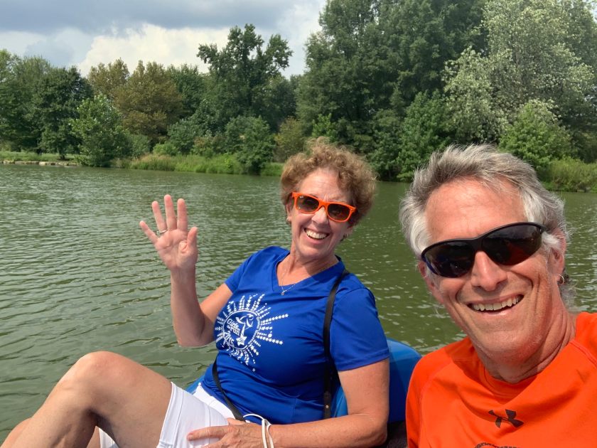
We spent our last day in Forest Park, visiting the St Louis art museum (inside but there were very few people) and renting a paddle boat.

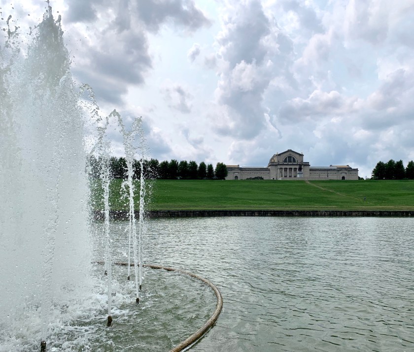
St Lous Art Museum (from the paddle boat)

Boaters. Probably in a Trump parade.

And then, because all this civilization was tiring, we headed out on the road. Next stop …. Tennessee.

West Virginia

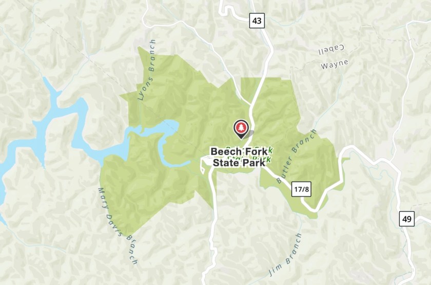
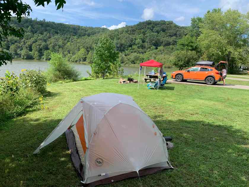
Beech Fork State Park is a small state park located in far western W. Virginia. It contains the end of the long, man-made, Beech Fork Lake.

Our view, looking west (mostly).

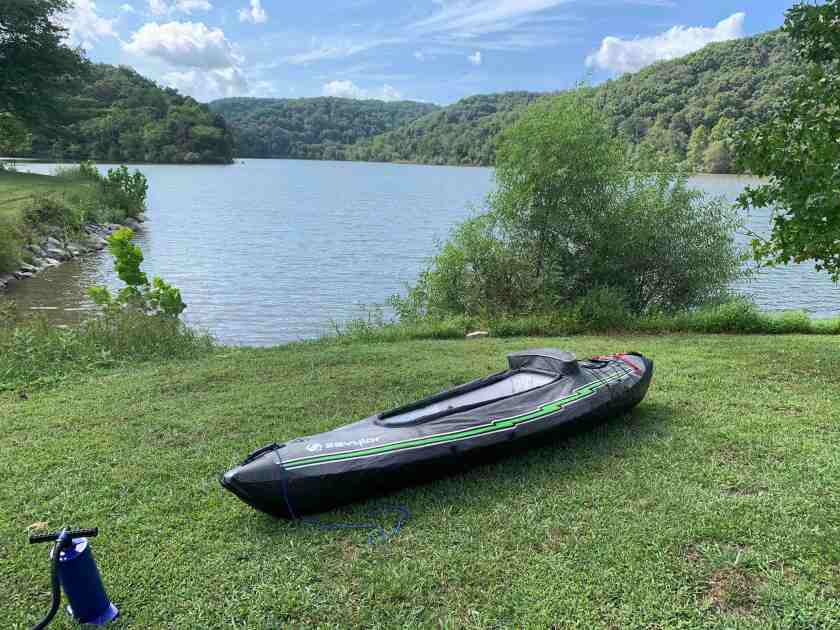
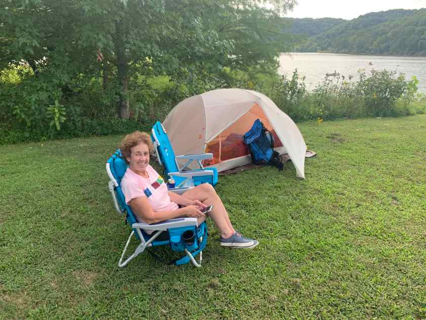
Our camp site was right on the lake with easy access for our kayak. We were surrounded by the usual mega-motor homes but we had a pretty big spot and it was quite nice. One of our neighbors came over to talk and told Roberta that he envied our “simple setup”.

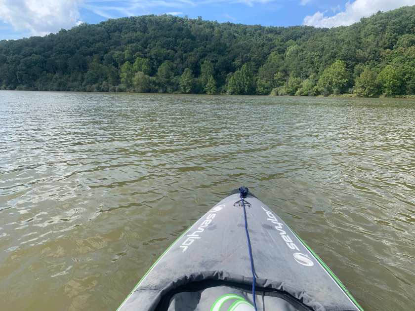
View from the kayak

I went kayaking after we got set up. Roberta saw I was having fun so she had a go also.

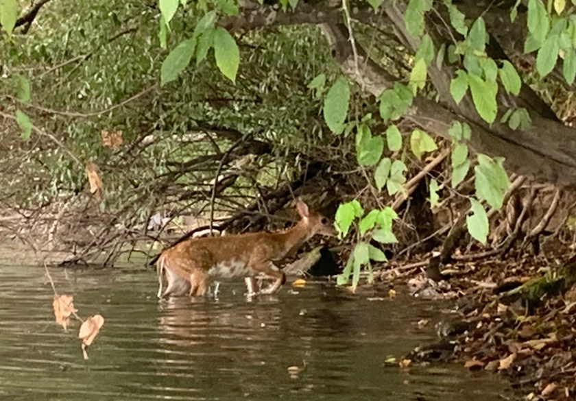
Saw this deer swimming in the lake near the far shore.

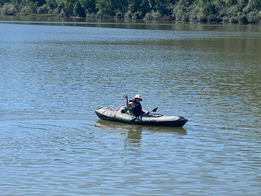
The REAL kayaker

The next day we hiked the only real trail in the park, the Overlook Trail. Which turned out not to have much of an overlook, but it was fun and we made a friend.

Our W. Virginia hiking buddy.

Even though we are quite a bit further south now, the evenings were quite pleasant (in the 60’s) and we had no trouble sleeping but we no longer needed wool caps in the morning.

Happy camper enjoys lousy cell service.

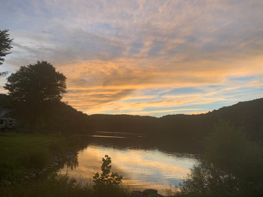
Sunset from our camp.

Four States in Two Days

Leaving Chicago…. Heading East

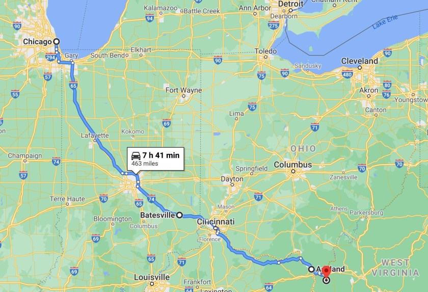
We had planned to primitive camp somewhere in Ohio after leaving Chicago but, since the hotel in Chicago did not have a laundry service, we opted for a hotel in Batesville, Indiana with a guest laundry. This gave us new state #1, Indiana.

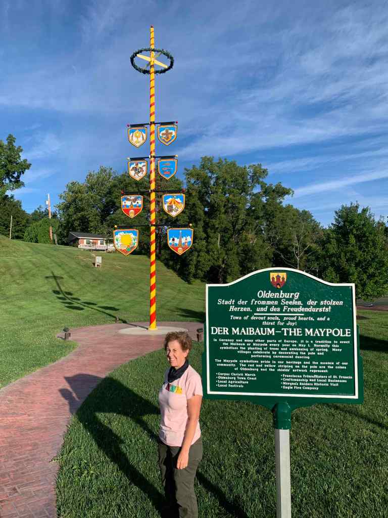
There wasn’t much in Batesville (and we were pretty busy doing laundry) but the next morning we drove 3 miles to Oldenburg, a picturesque little town with a decidedly German feel (all the signs were in English and German).

Cincinatti

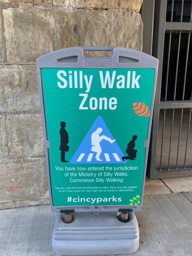
We tried…

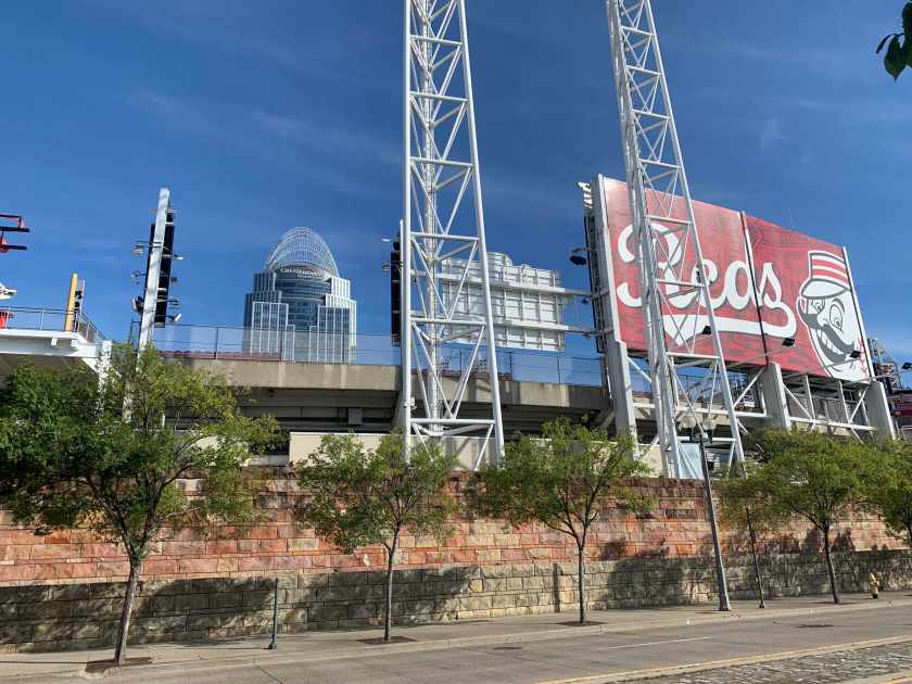
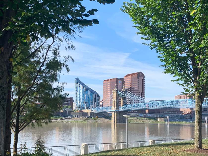
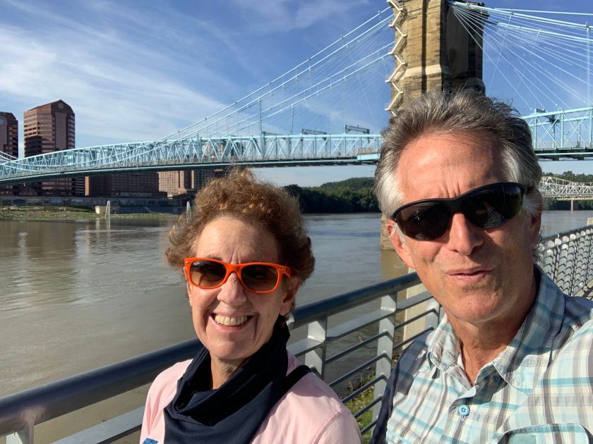
We bagged our second state the next morning when we hit Cincinatti and stopped to stroll around down by the Ohio River.

The enemy!

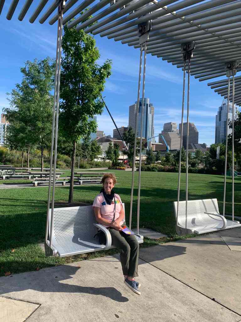
Cute girl with Cincinnati in the background.

The Ohio River. Bigger than I imagined.

Two lost Texans.

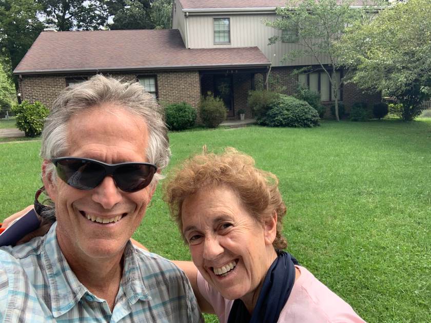
And then back on the road, heading east, next stop: Ashland, Kentucky.  We were driving right by Ashland (or nearly by) and decided to stop and take a few pictures of Andrew Dansby’s boyhood home, which gave us our third new state.

In front of an iconic tourist shrine, Andrew Dansby’s boyhood home.

After Ashland it was a short drive to  our home for the next two nights, Beech Fork State Park near Huntington, W. Virginia and our fourth state!

Beech Fork State Park, W. Virginia. Our new home.


Chicago and…. showers!

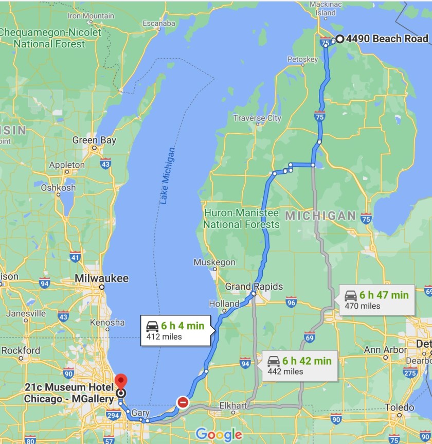
So after 7 days of camping we hit Chicago after traveling the entire length of the eastern side of Lake Michigan and a hotel (21C) and showers! The room was nice and the art was cool but this was the first day they were open and they had no room service or ice. No ice. And no guest laundry! Oh well… this caused a change of plans …. more on that later.
John Hancock Tower

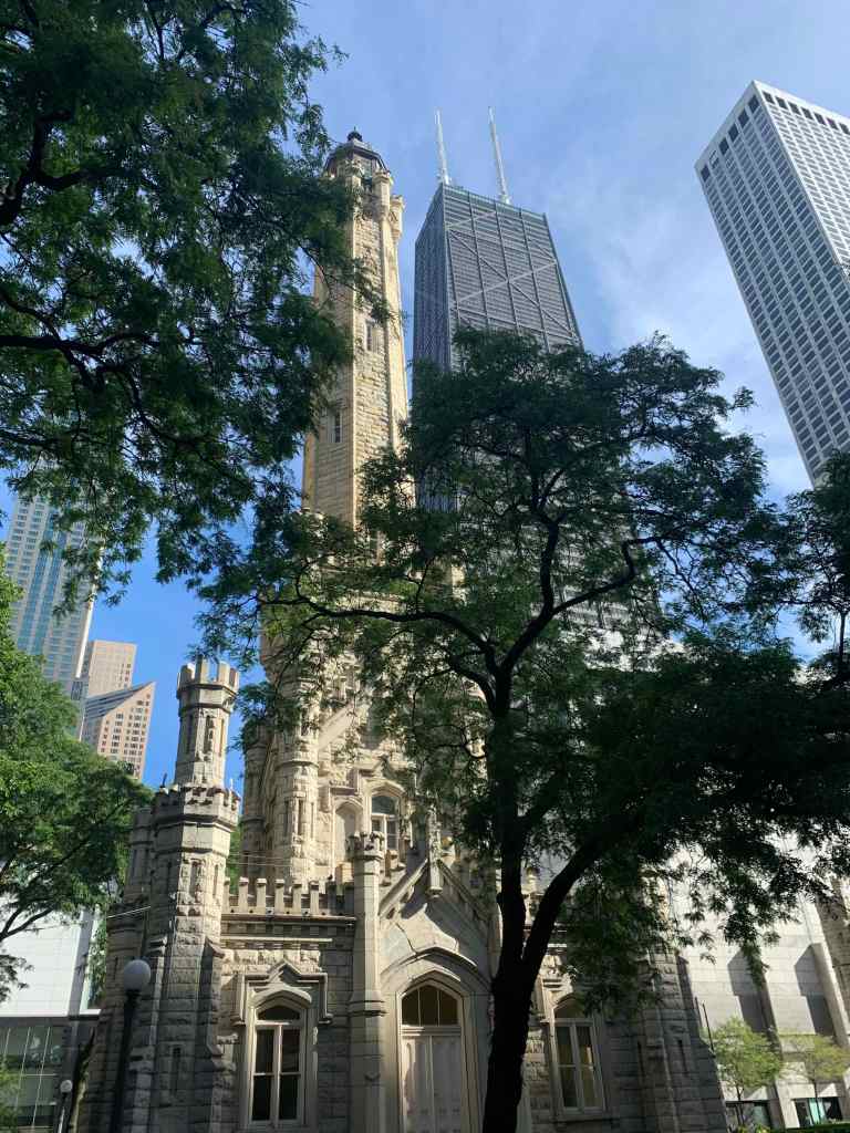
Our first stop on our walking tour of Chicago was the water tower, one of the only structures to survive the famous fire.

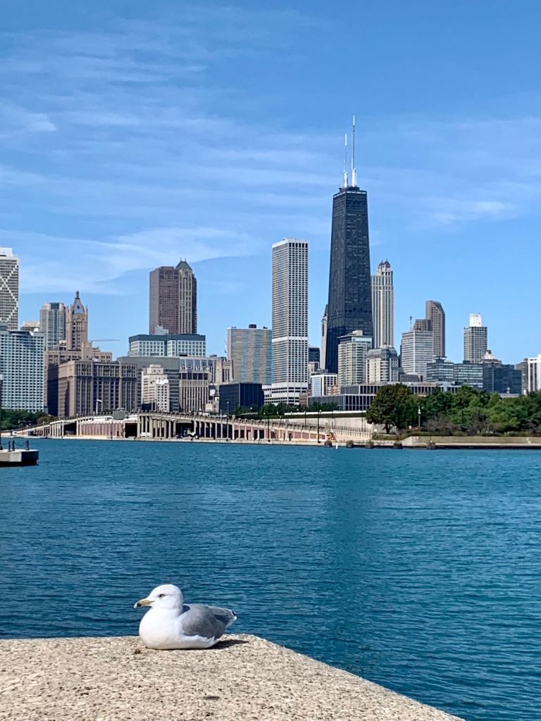
The Water Tower with the John Hancock building in the background.

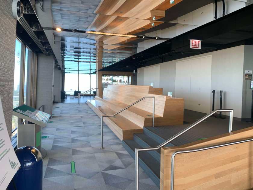
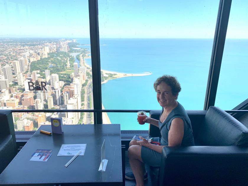
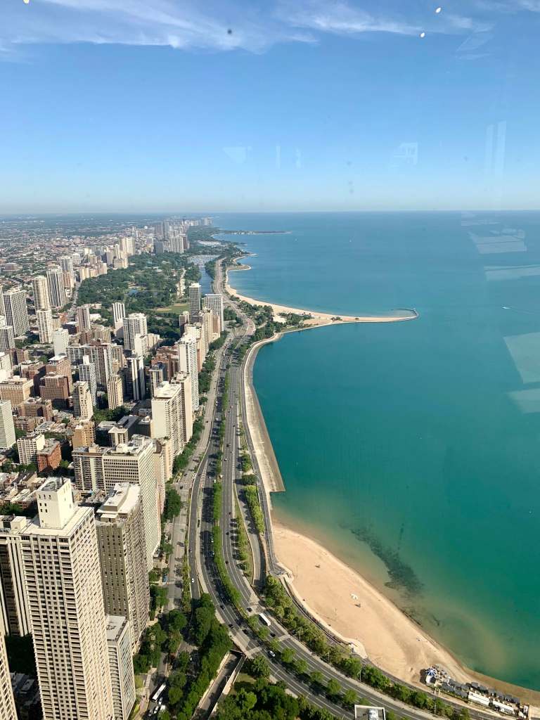
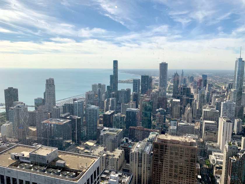
We noticed the Hancock Tower as we were taking pictures of the water tower and walked over to take a look. Turns out they have a viewing level on the 94th floor and, since it had just opened and there was no one there, …..

Looking north from the 94th floor of the John Hancock building.

… and looking south.

And we were the only people there.

So we decided to have “breakfast”.

The Navy Pier

After the Hancock building we headed south on the “magnificent mile” and ended by walking east along the Chicago River to the Navy Pier. Most people we saw were wearing masks, at least indoors.

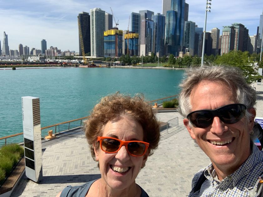
Chicago from the end of the Navy Pier

Tourists on the Navy Pier

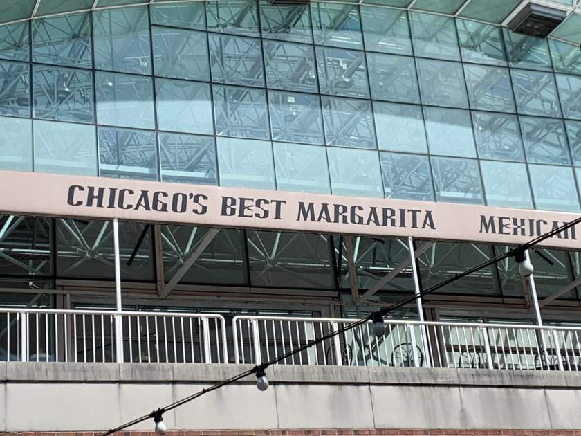
And then lunch at a beer garden on the river (with outside seating!).  We have been very careful wearing masks when we are around other people and the city is relatively uncrowded.

Just …no.

The Bean

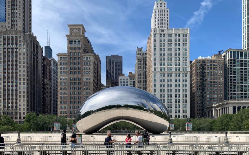
The bean.

We ended our walk in Millennium Park with Chicago’s famous “Bean” (it’s actually called The Cloud Gate). It’s quite a bit bigger than the one in Houston. And it’s on its side.

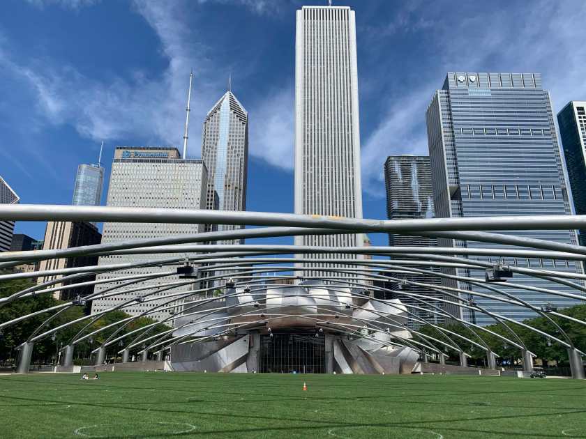
The outdoor theater in Millennium Park

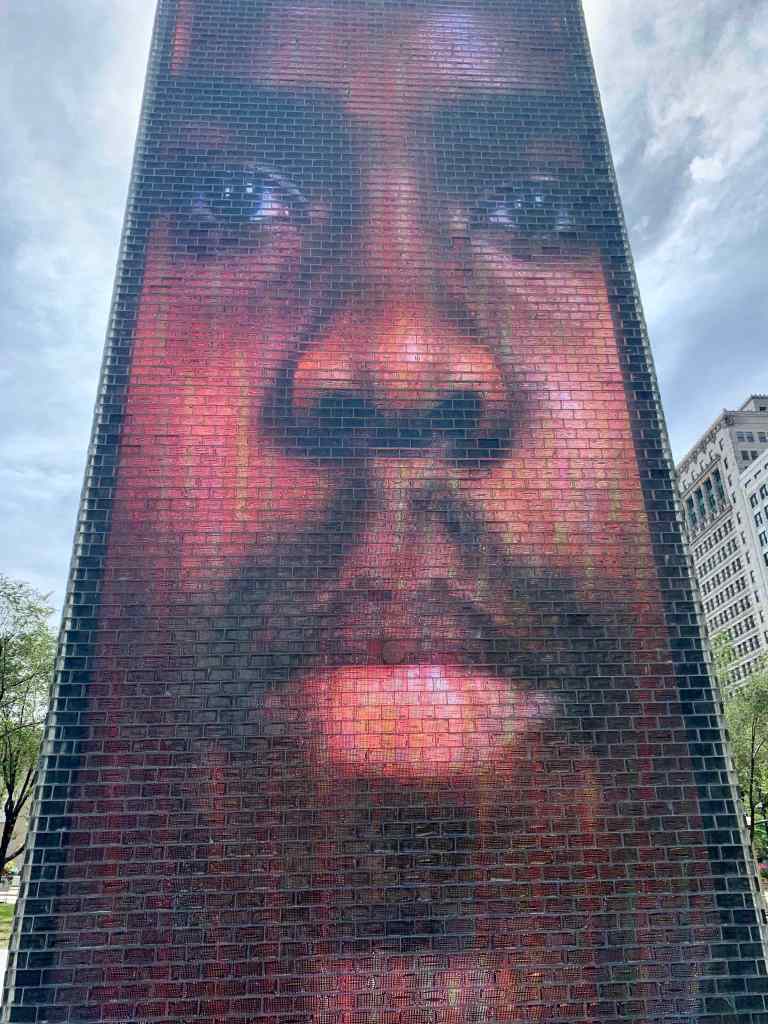
We also saw the Crown Fountain, an interactive work of public art and video sculpture which probably is more impressive at night.

The Crown Fountain – he blinks.

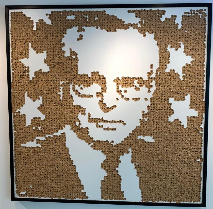
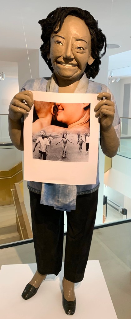
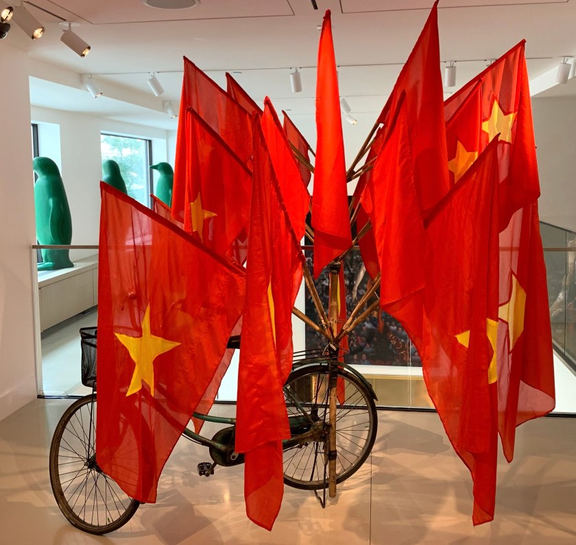
21C Hotel Art

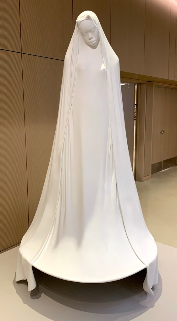
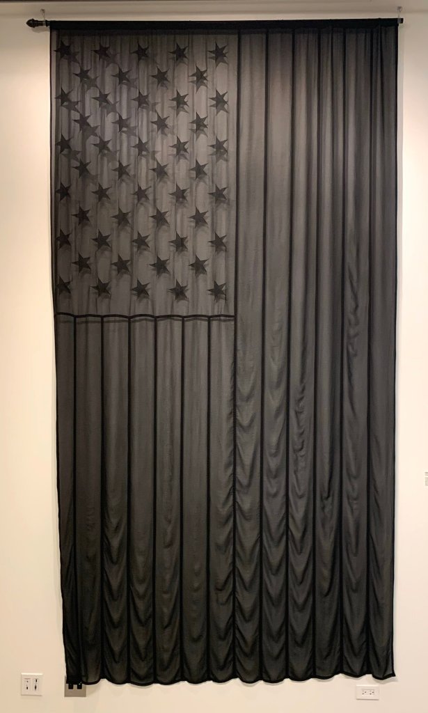
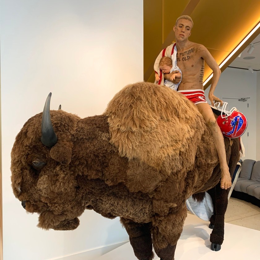
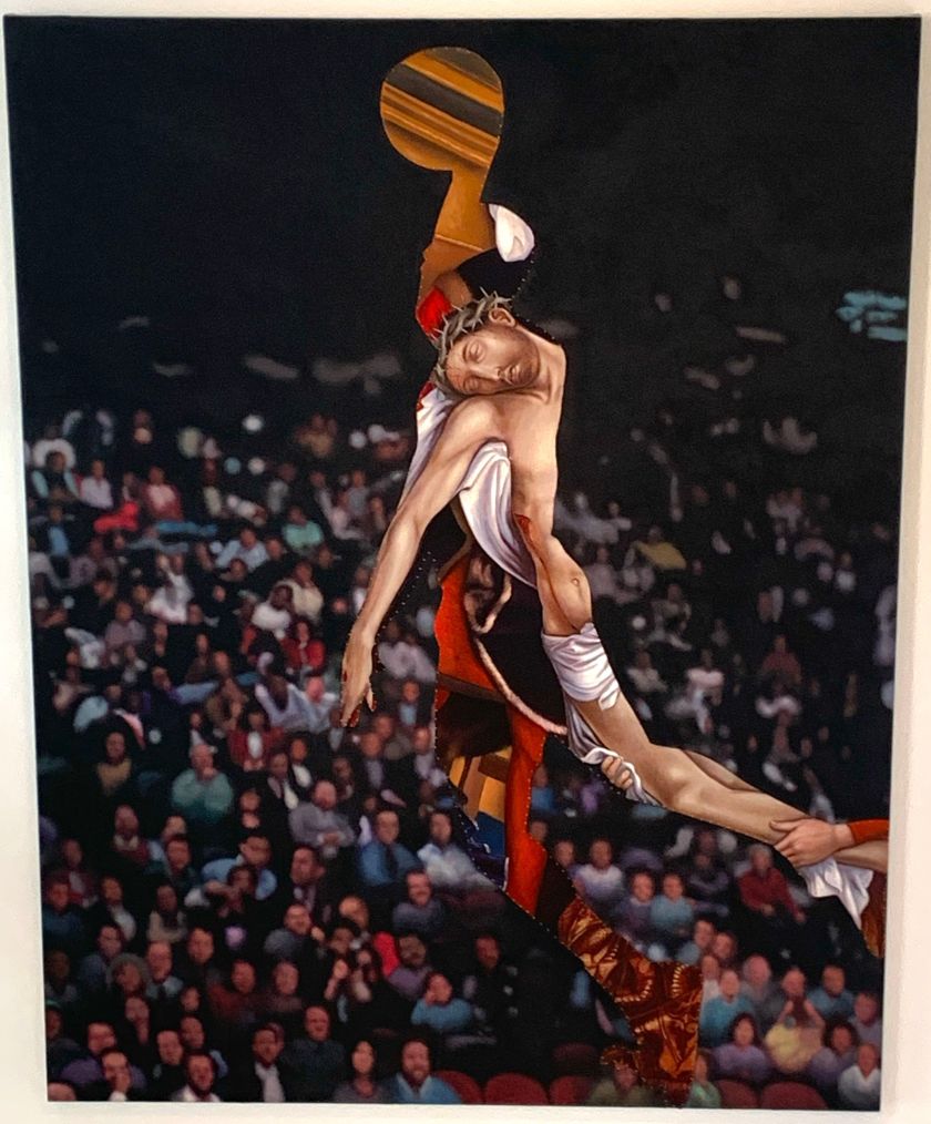
We spent the rest of the afternoon wandering around the art exhibits in our hotel.  21C hotels only have art from the 21st century. Here is a sampling of the art in our hotel….