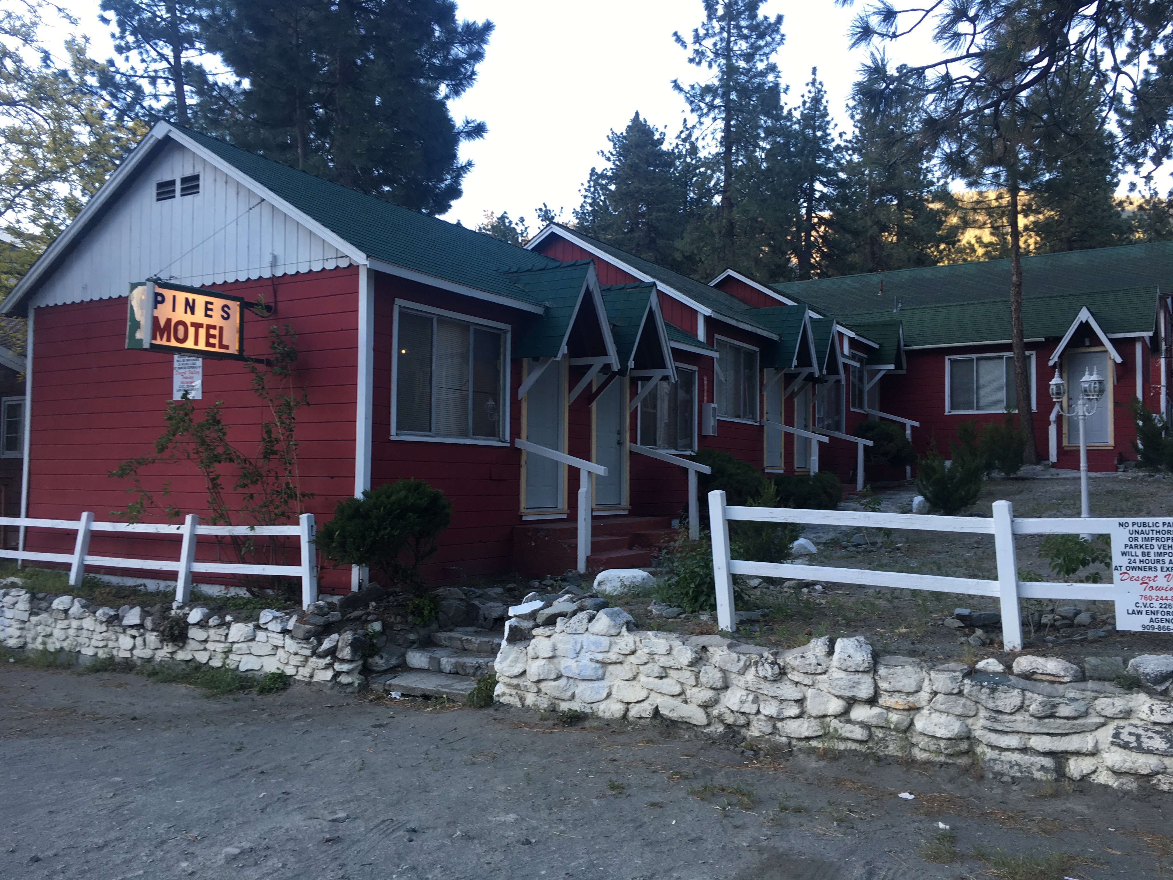
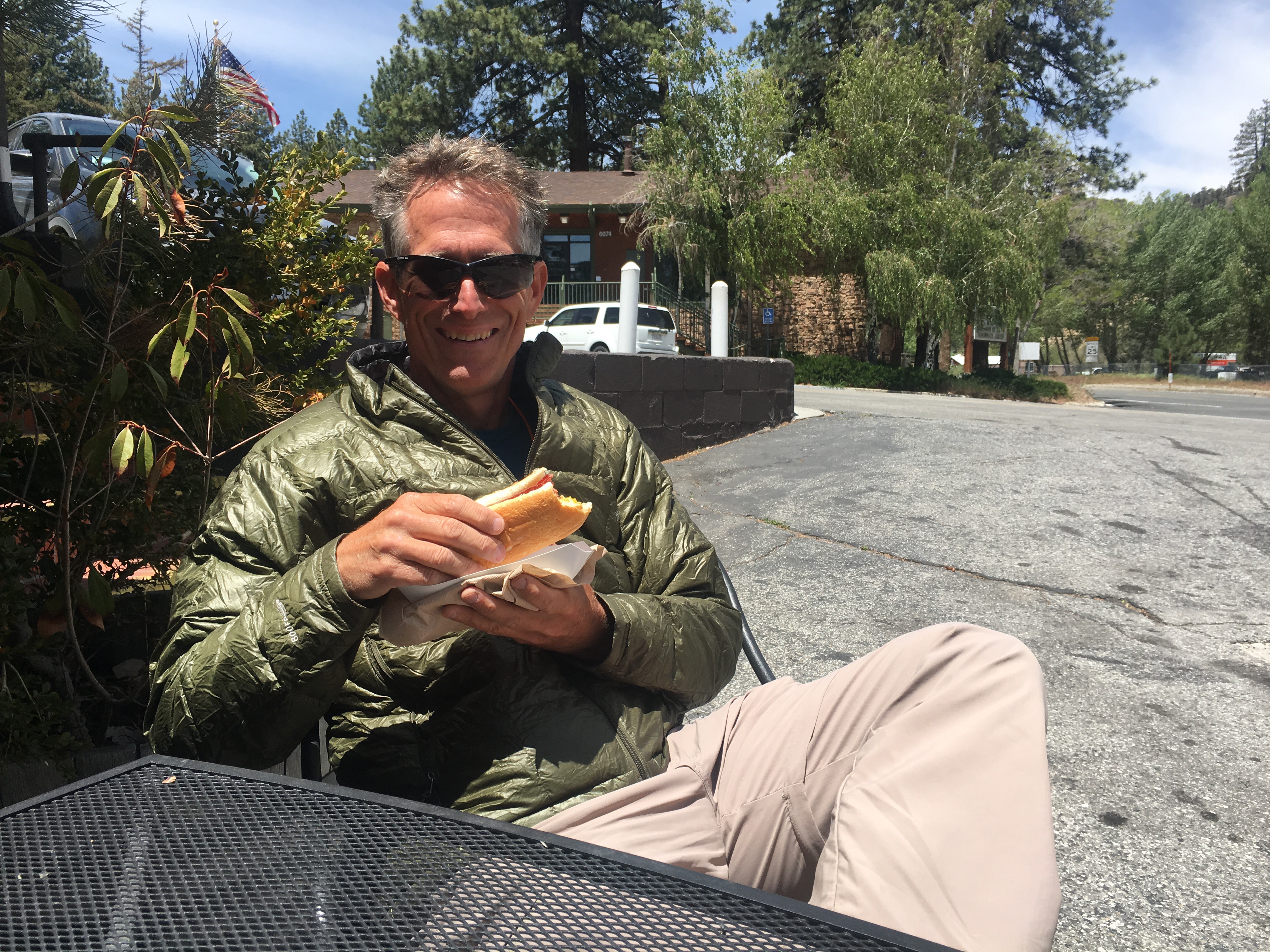
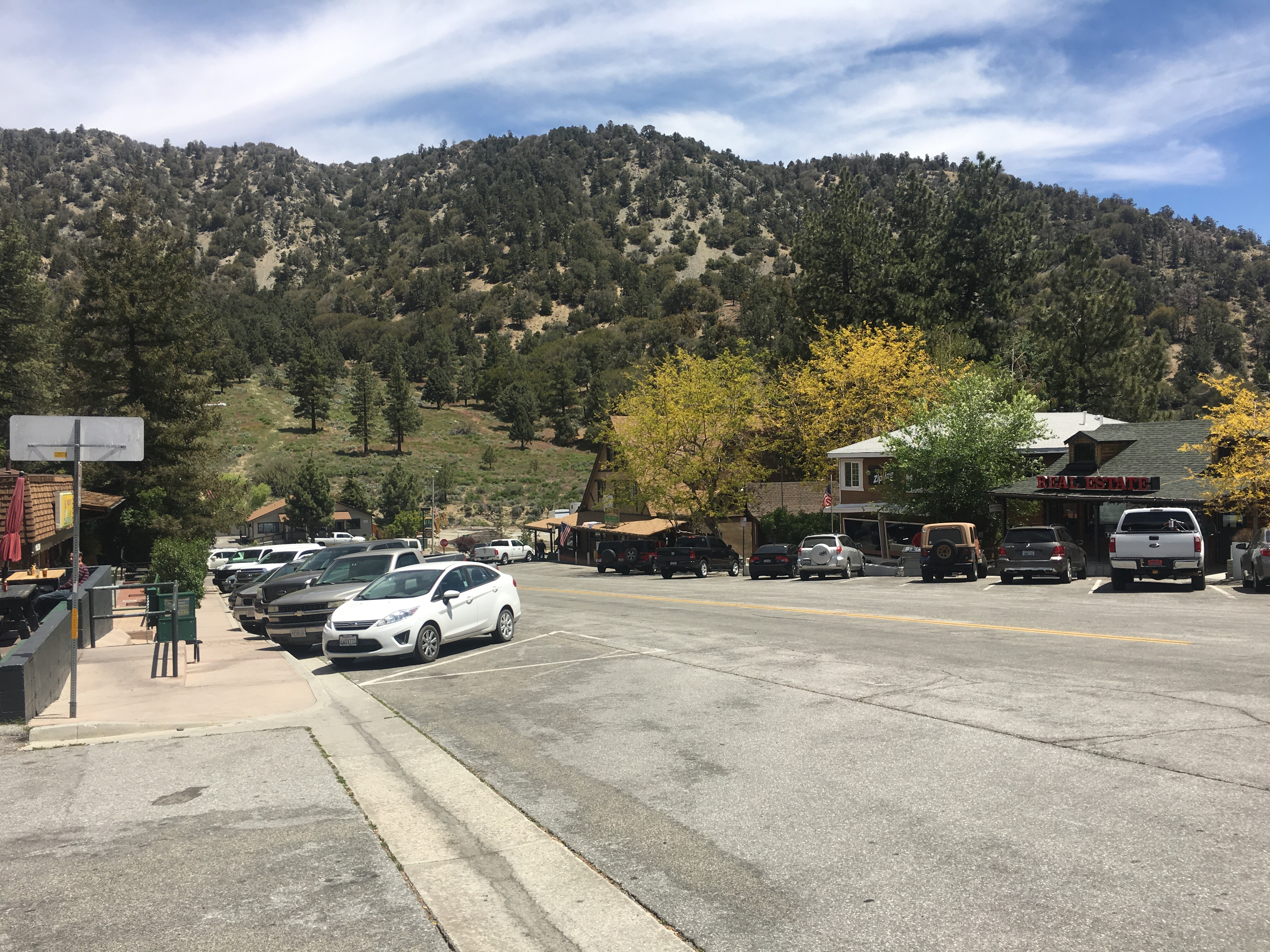
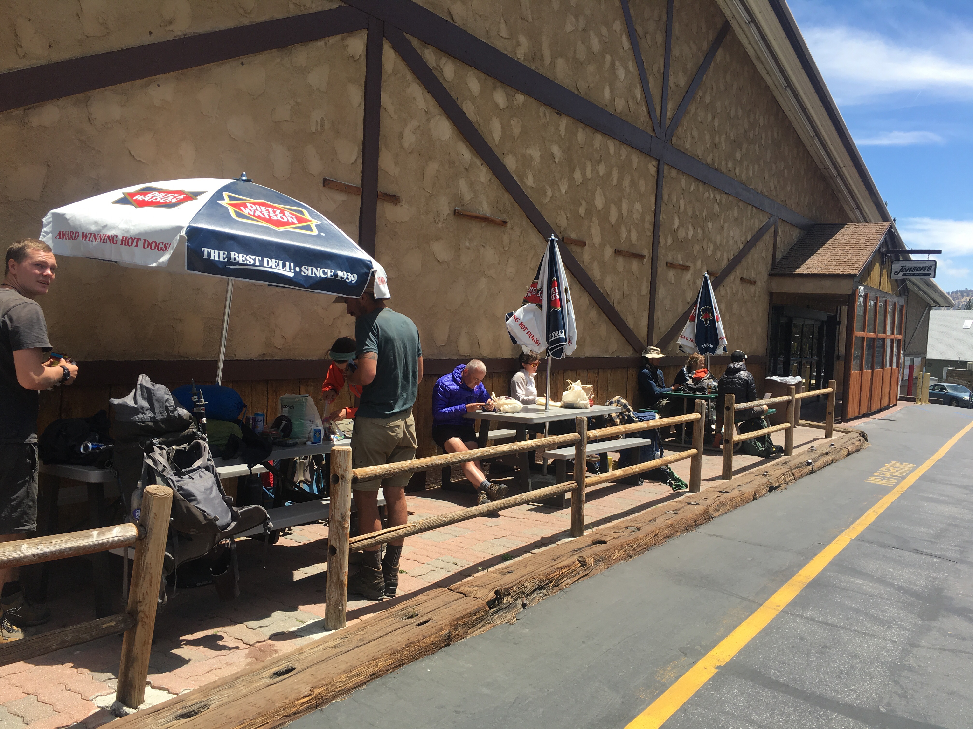
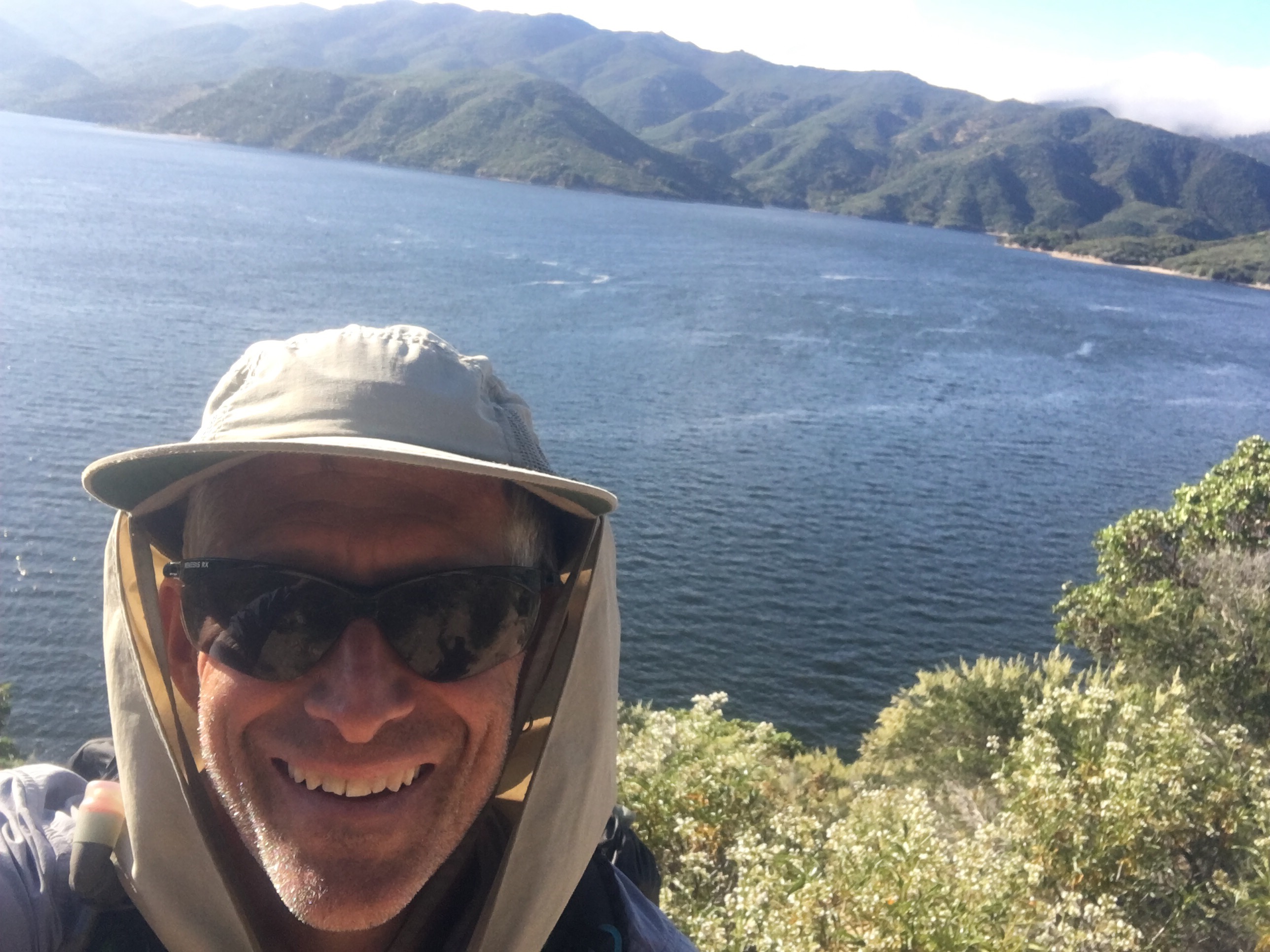
Another short day – 10 miles from the Acton KOA to Hiker Heaven in Agua Dulce and the end of my PCT adventure!
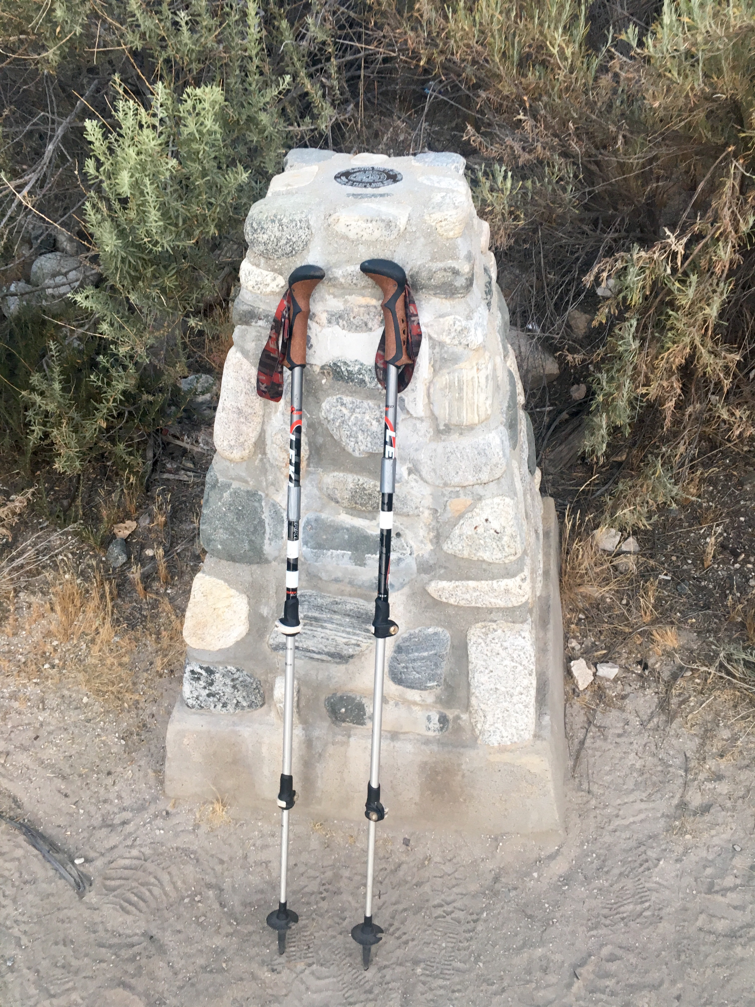
Day started early – not a very restful sleep with the train, road and RV-ers.Was hiking by 5:30. Immediately passed the PCT completion monument (1993).
PCT Completion Monument
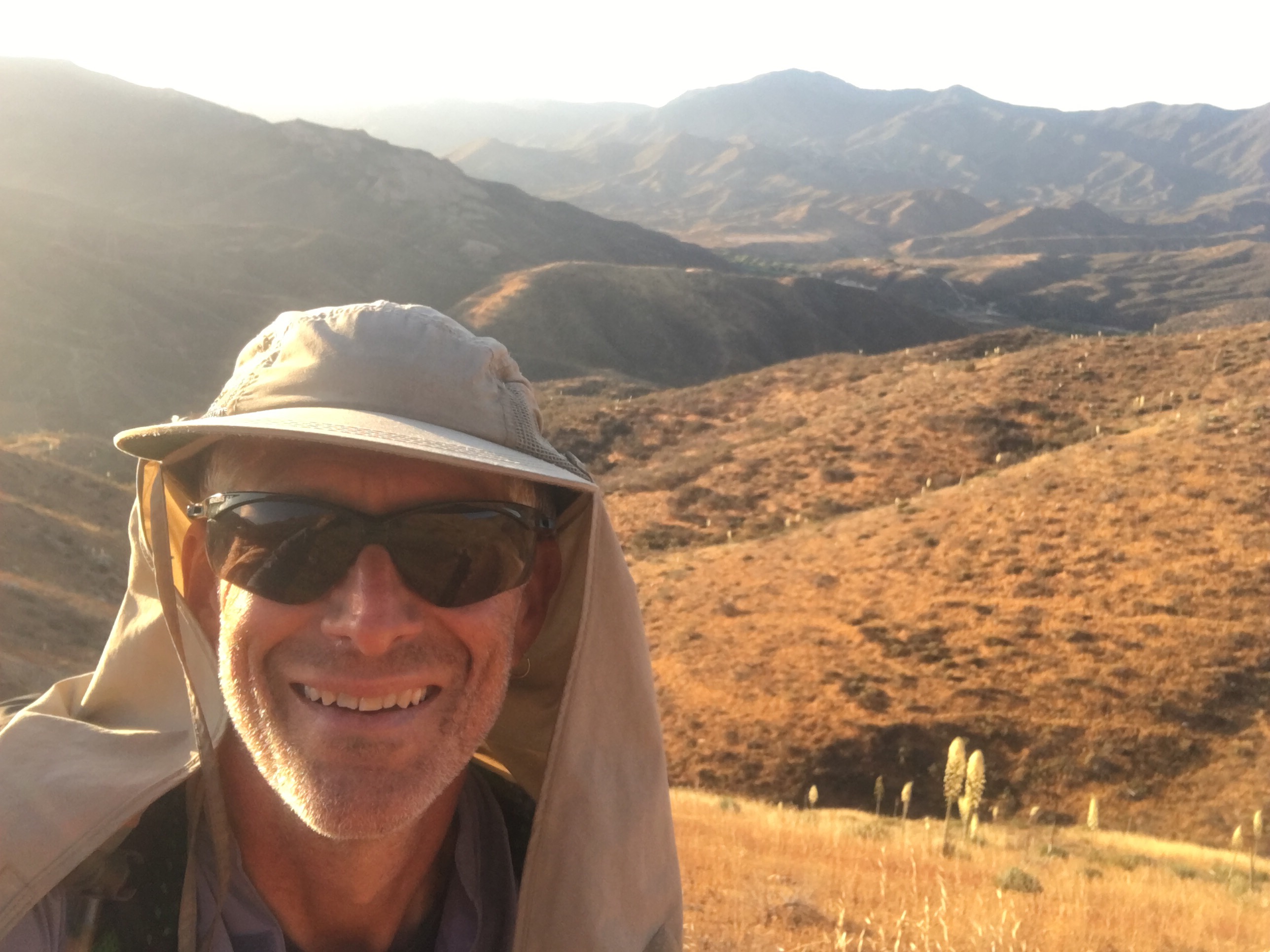
Then the climb out of the valley. Came over the mountain in the background yesterday.
Climb out of Acton
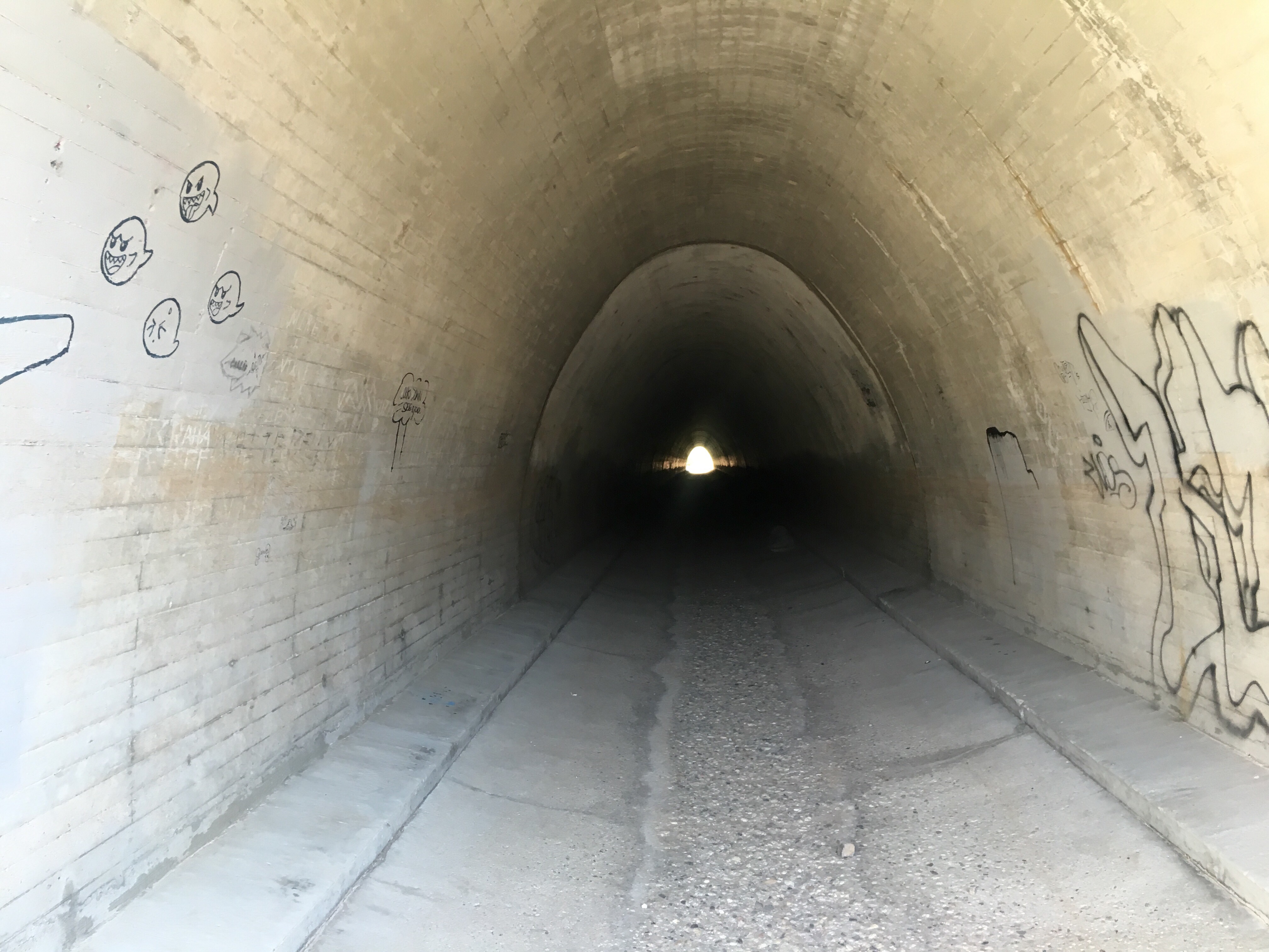
And not all obstacles on the PCT are natural – the tunnel under highway 14 for instance.
Tunnel under highway 14
But the highlight of the day was the walk through the Vasquez Rocks.
Moon over one of the Vasquez Rocks formationsView of the Vasquez Rocks
The last mile or so of the day was on roads leading to Agua Dulce, andThey LOVE us here!
the days reward!
Short day today. Woke up early at the North Fork Ranger Station (and discovered about 10 other hikers camped around me – guess I just know how to pick ’em). Not a bad place to camp – a local trail group had a cooler with snickers and sodas for sale. Nice!
My camp at the North Fork Ranger Station
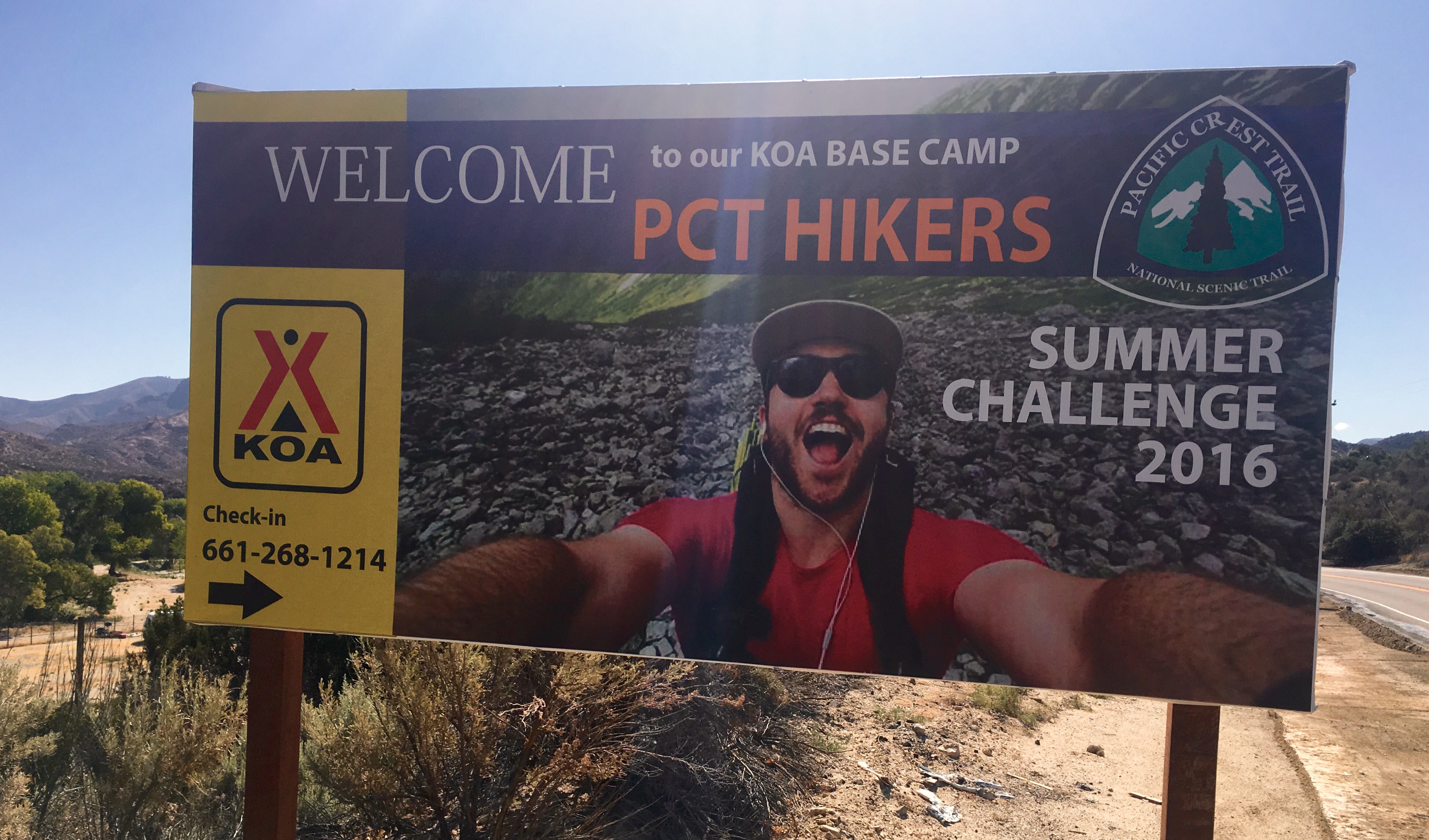
Hiked the 8 miles or so to the Acton KOA which is about a quarter mile off the trail. Short day but gave me time to take a shower (first in five days) and do laundry. Even thought they have a big welcome sign this place is really not set up for hikers. The little store has no small soaps or shampoo and they have no towels. I have only met one hiker that carried a towel. Still, lots of hot water!
And they say there is a pizza place in Acton that delivers here so dinner may be better than usual. Last nights dinner for instance was 1 Ramen Noodle, 1/4 of a powdered Idaho Potato, and a foil of salmon. Nice but not pizza!
Dinner last night (note the custom spoon)
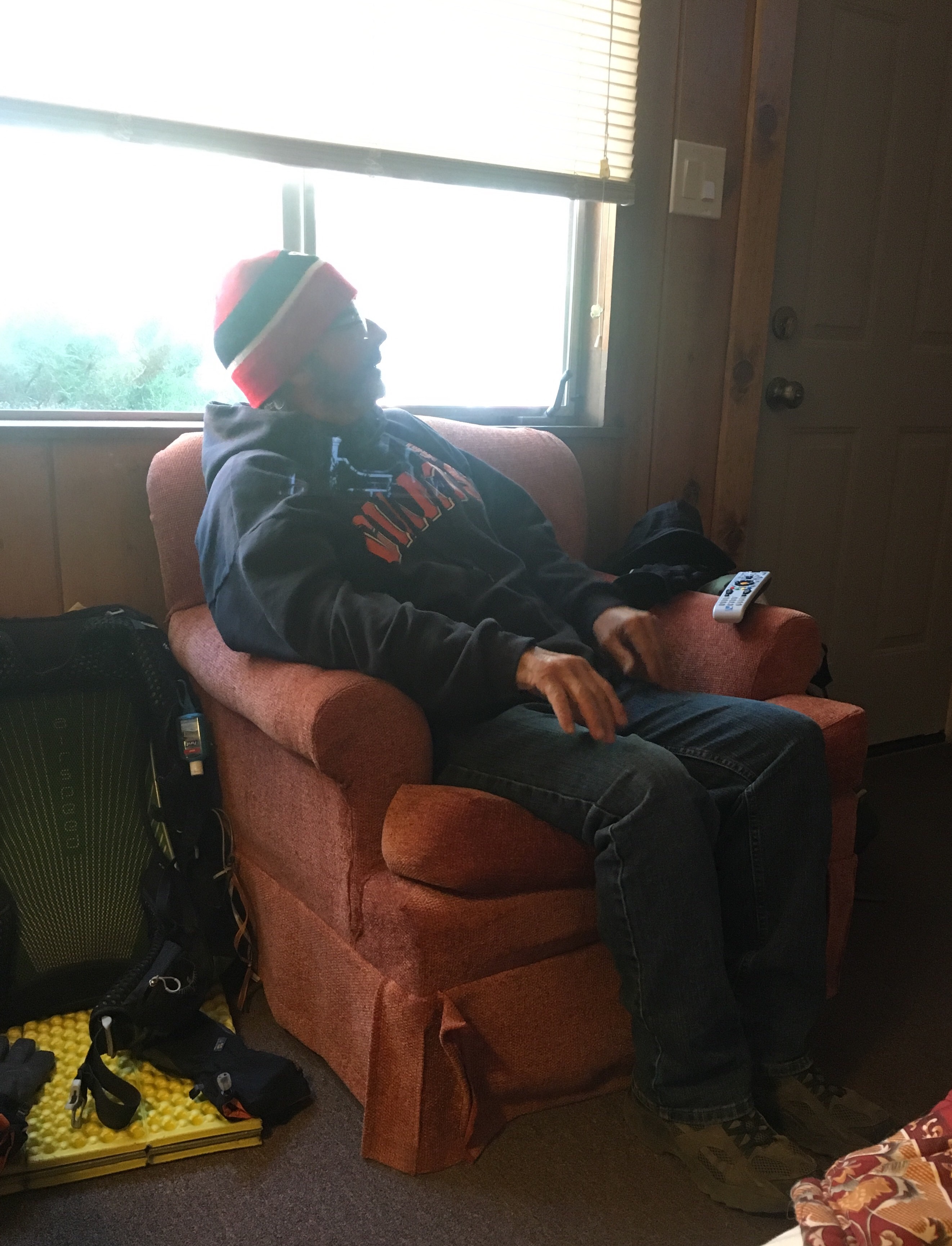
Met a nice couple from Quebec on the trail today – they were not stopping at the KOA but headed straight to Agua Dulce – the lure of real restaurants was too strong. At the KOA office I bumped into Kobo, the hiker from Japan that I hitched with way back at mile 151. I was surprised since he was a couple days ahead of me but he said he had to go to LA to get new gear and a new passport – his pack was stolen in San Bernadino (the shuttle around the Lake Fire closure dropped hikers off there for the bus to Big Bear)! Hikers sometimes get too casual with their packs.
Kobo (with new passport and pack)And a nice surprise when I came off the trail at the highway – Coppertone! The trail angel that supplied a rootbeer float just past Deep Creek (when I really needed it) was waiting with bananas and a smile. This guy really gets around!Coppertone!
Getting excited about finishing up and getting home to see my wife and friends. Only 10 more miles and I will bein Agua Dulce and the end of my little adventure! Hoping that getting used to indoor plumbing wont be a problem. And today’s scenery shot:
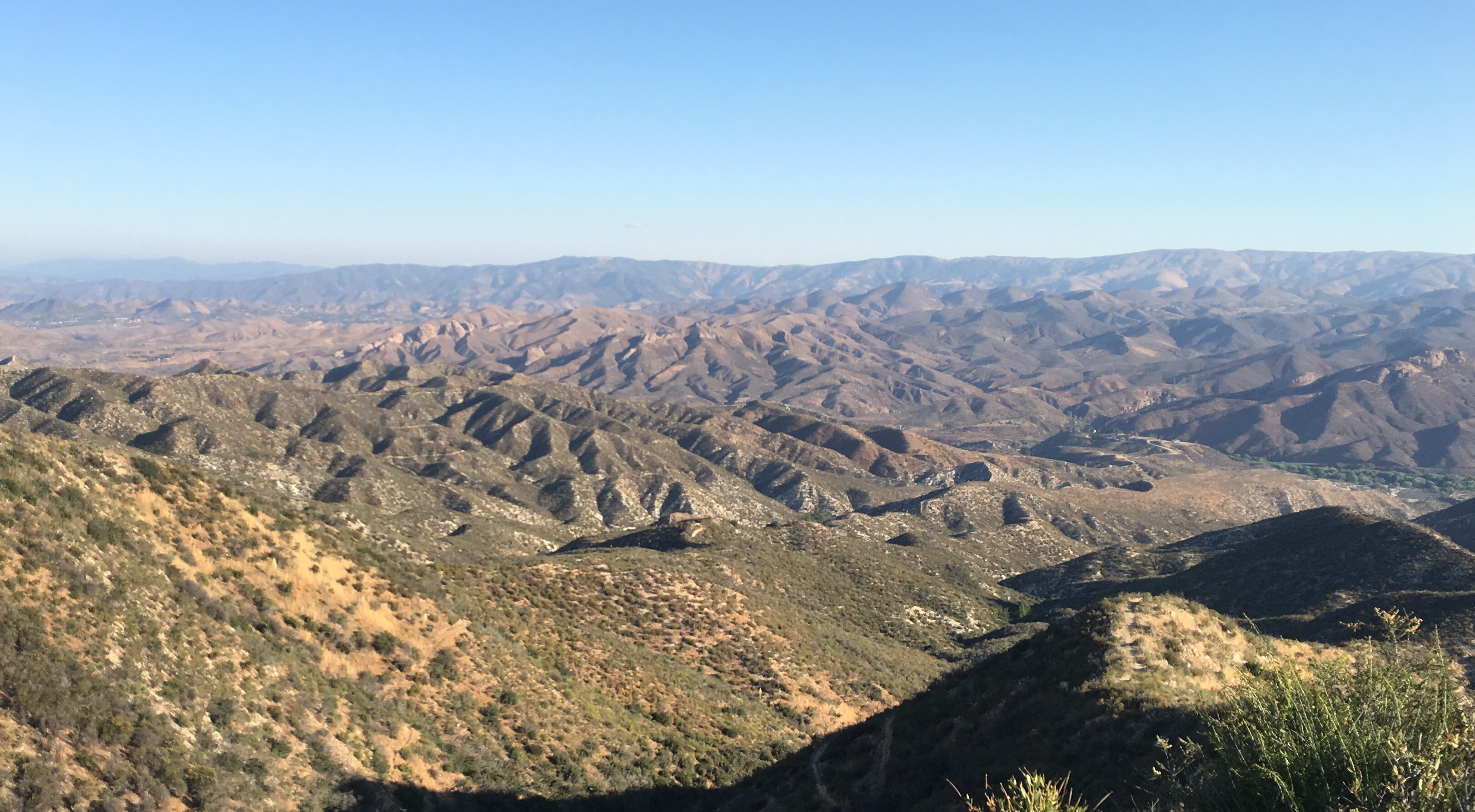
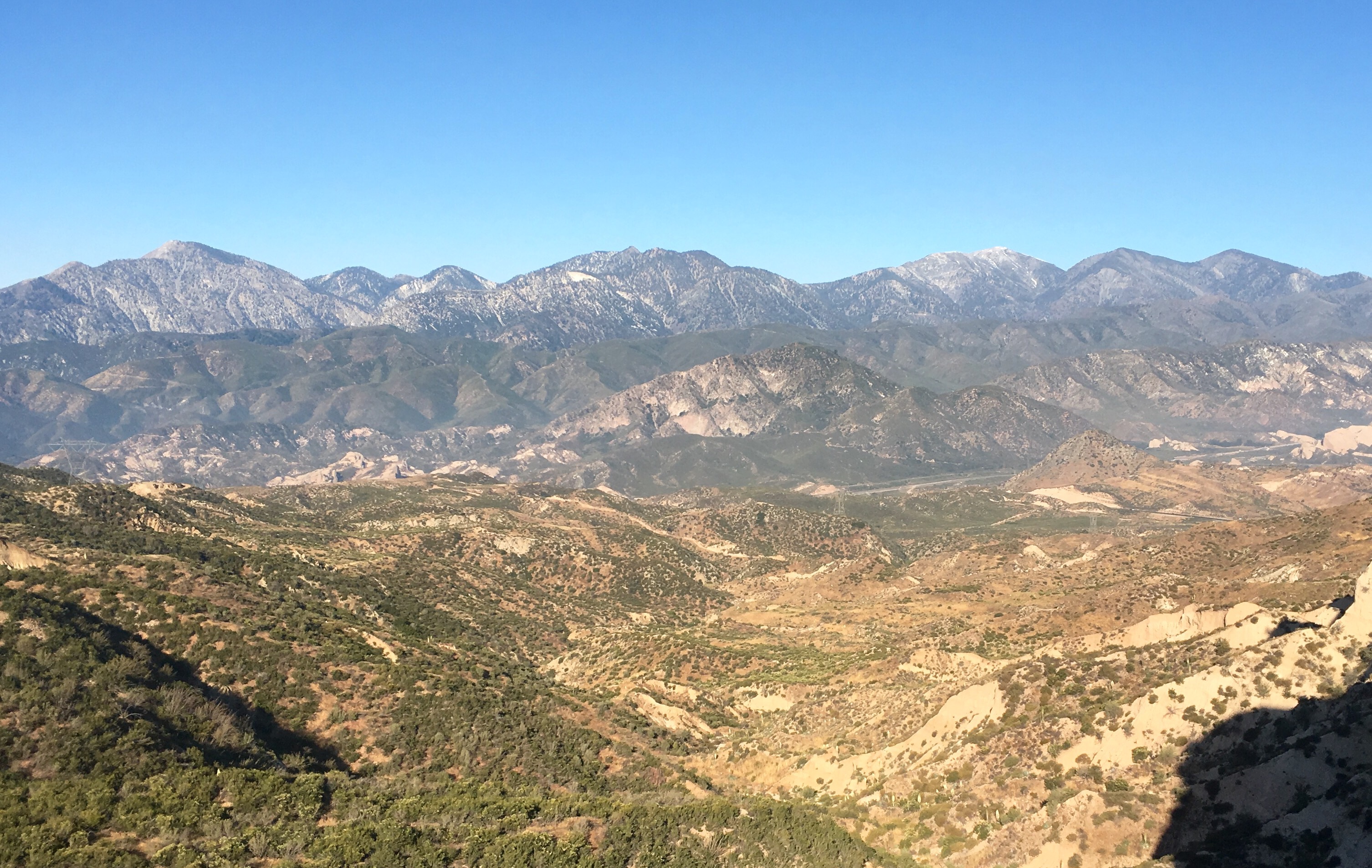
View looking toward the valley and the Acton KOA
My tent spot became very popular late in the day yesterday – many miles of ridges and not many places to camp. It was a big flat spot but on the very top of the ridge so very exposed and it was windy and cold!
More hikers join my camp site
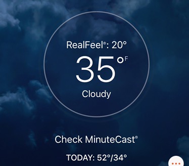
Woke up to a cloudy, cold morning – I’m guessing in the high 30’s. Tough getting going when it’s that cold. Hiked all day in the clouds and wind. But got a little trail magic!. Took the Poodle Dog Bush detour which is on a closed park road. A couple of rangers in a pickup came by and asked if I wanted a lift. On a road? You bet! They took me 4 or 5 miles before turning off. Very nice. Road walking is boring (and potentially dangerous).
Waling the detour in the clouds!
Hit two ranger stations today – good places to get water. And they tend to be very tolerant of PCT hikers.
Trail angel sign before a Ranger station
Got to the second ranger station in the early afternoon and it was packed with cold hikers having lunch and getting water. Me, I plan to spend the night here. Picnic tables, pit toilet and water. Heaven!
Cold hikers at a ranger station
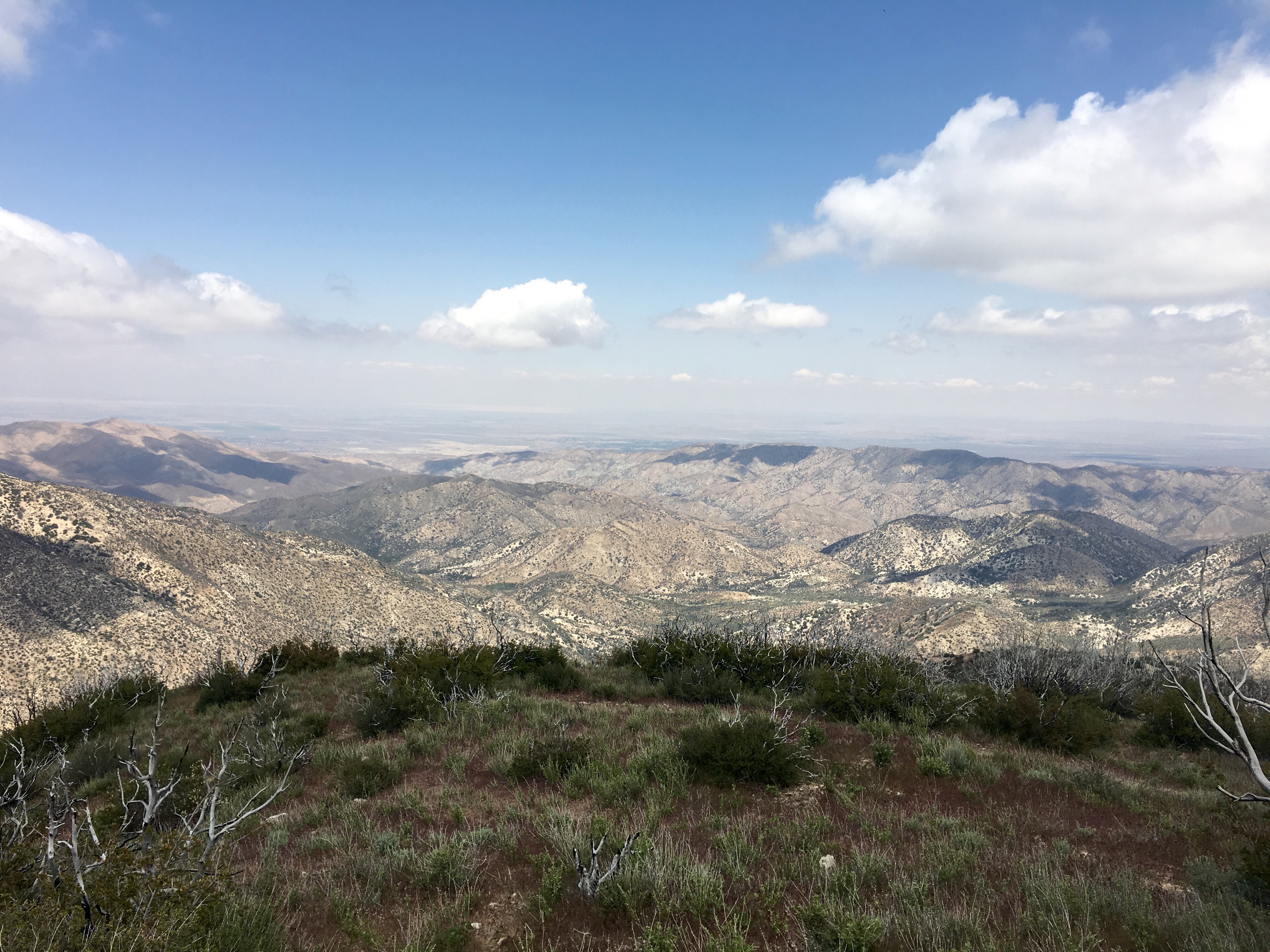
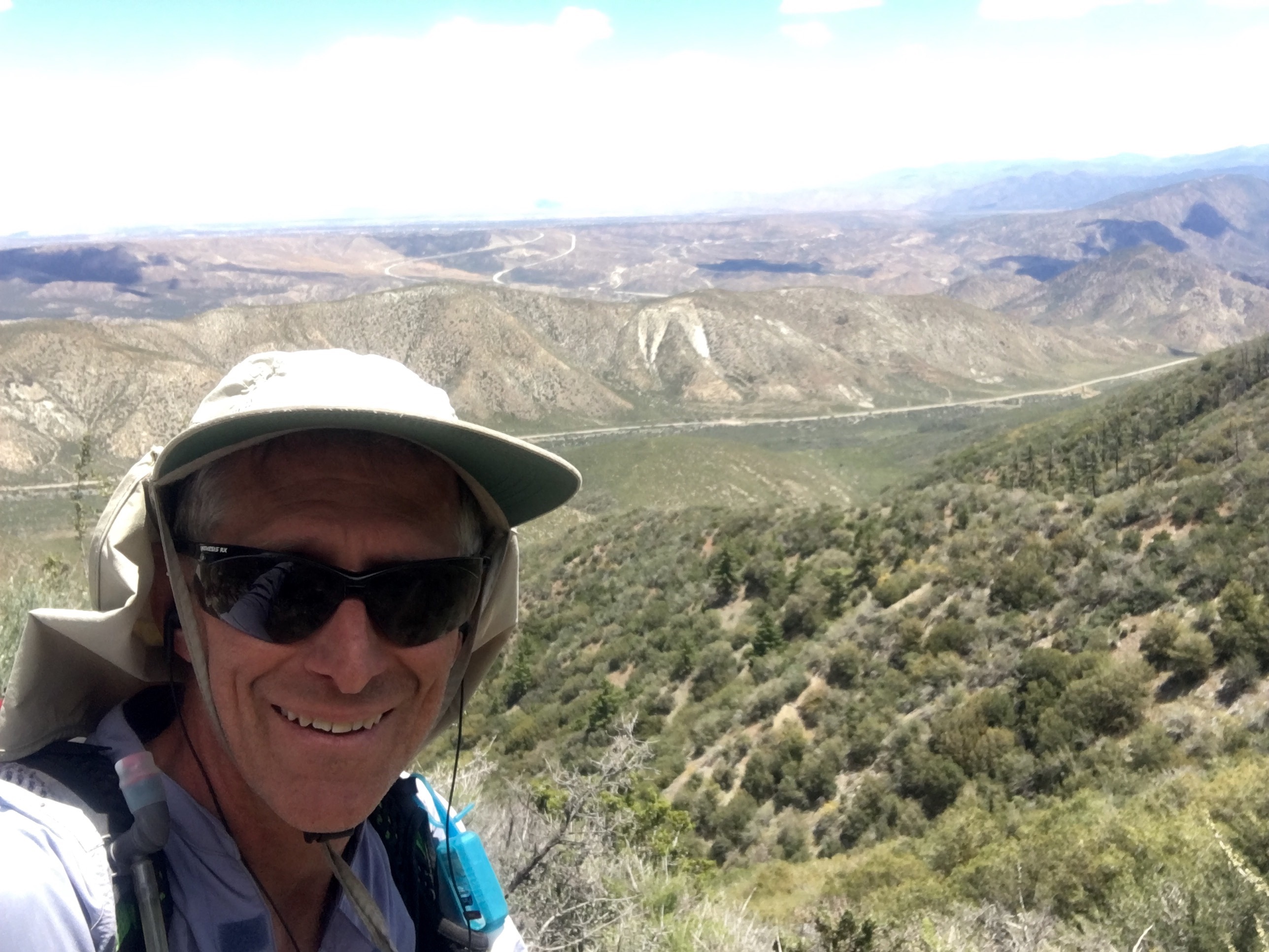
And, finally, todays scenery shot. This is from about 6,000 feet looking north.
Left Wrightwood early Sunday morning. A trail angel (Carol) gave Butterfly and me a ride to the trail (PCT 369). It is now Tuesday afternoon (day 3 of this section) and I am about halfway to Agua Dulce. Yesterday was my last day with Tim (Butterfly) – he had to get back to work so he left camp early to hitch back to Wrightwood.
Yesterday was eventful – very, very hard day with many thousands of feet vertical. Also passed mile 400!
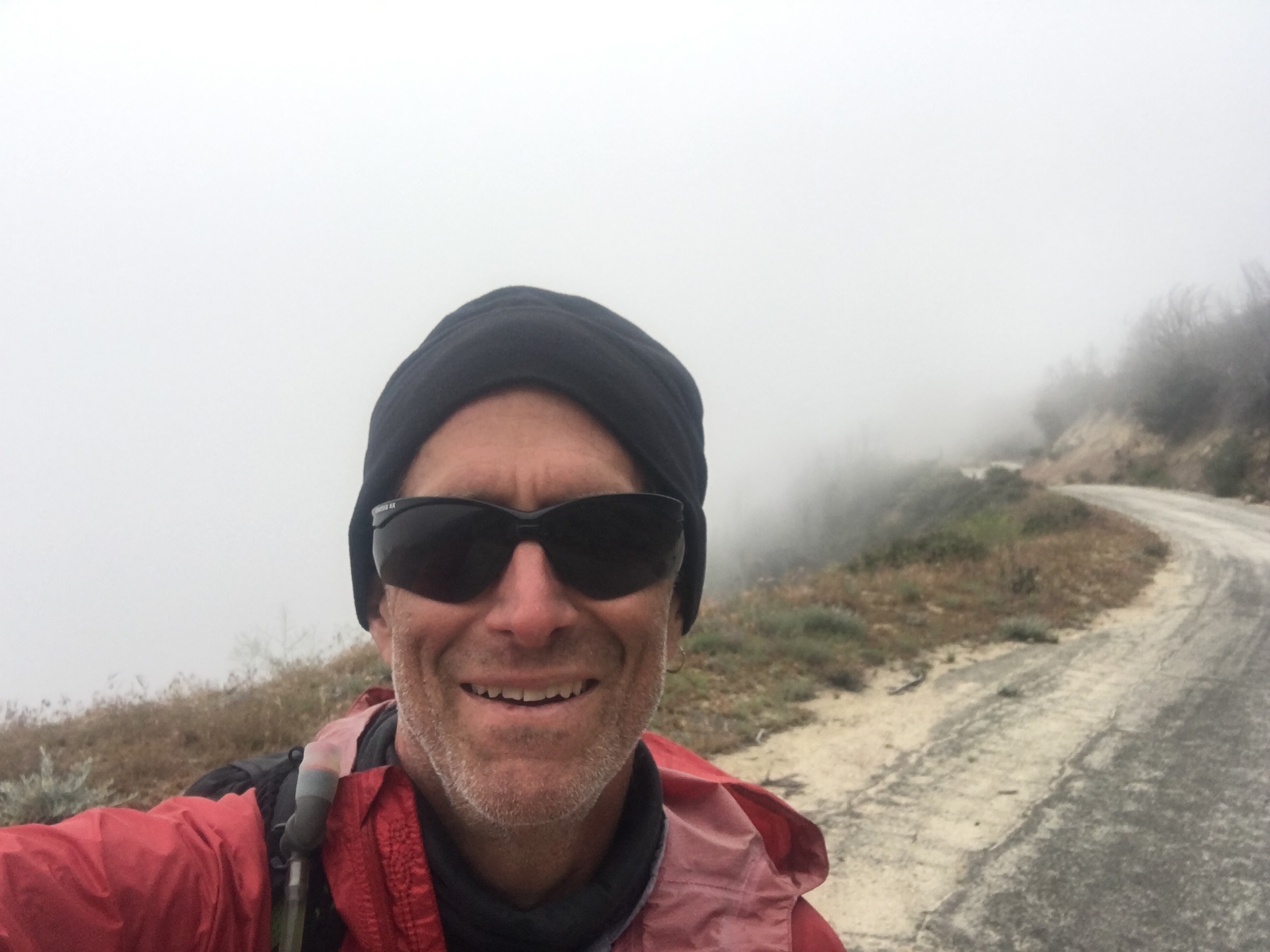
Selfie at mile 400
Also eventful because I not only lost my backup hiking sandals but my titanium spork! Had to fashion a spoon from a stick to eat dinner.
My new spoonIt was in the 30’s this morning and cloudy all day so very cold up here in the moutains (at about 6500′ most of the day). Met a south-bound section hiker (GearTek) who offered me some trail magic – bag of chips, starbuck via or some candy. I went for the chips.
GearTek with his bag of goodies
I am curently camped on a ridge at about 6500′. Have a great view but a little concerned about how exposed this site is if the wind kicks up in the night.
View from my tent today
Saw my first Poodle Dog Bush today and since then have seen lots of it. Very nasty bush if you happen to touch it. Sort of like poison oak on steroids. It also has a very strong smell – reminiscent of pot. There is a short detour tomorrow to avoid some of the worst infestation – I will probably take it.
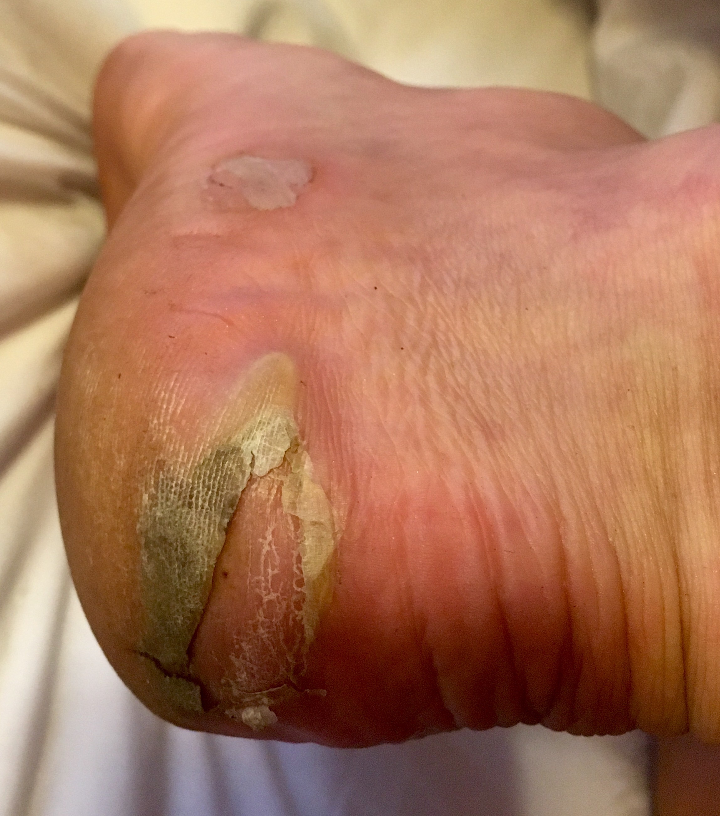
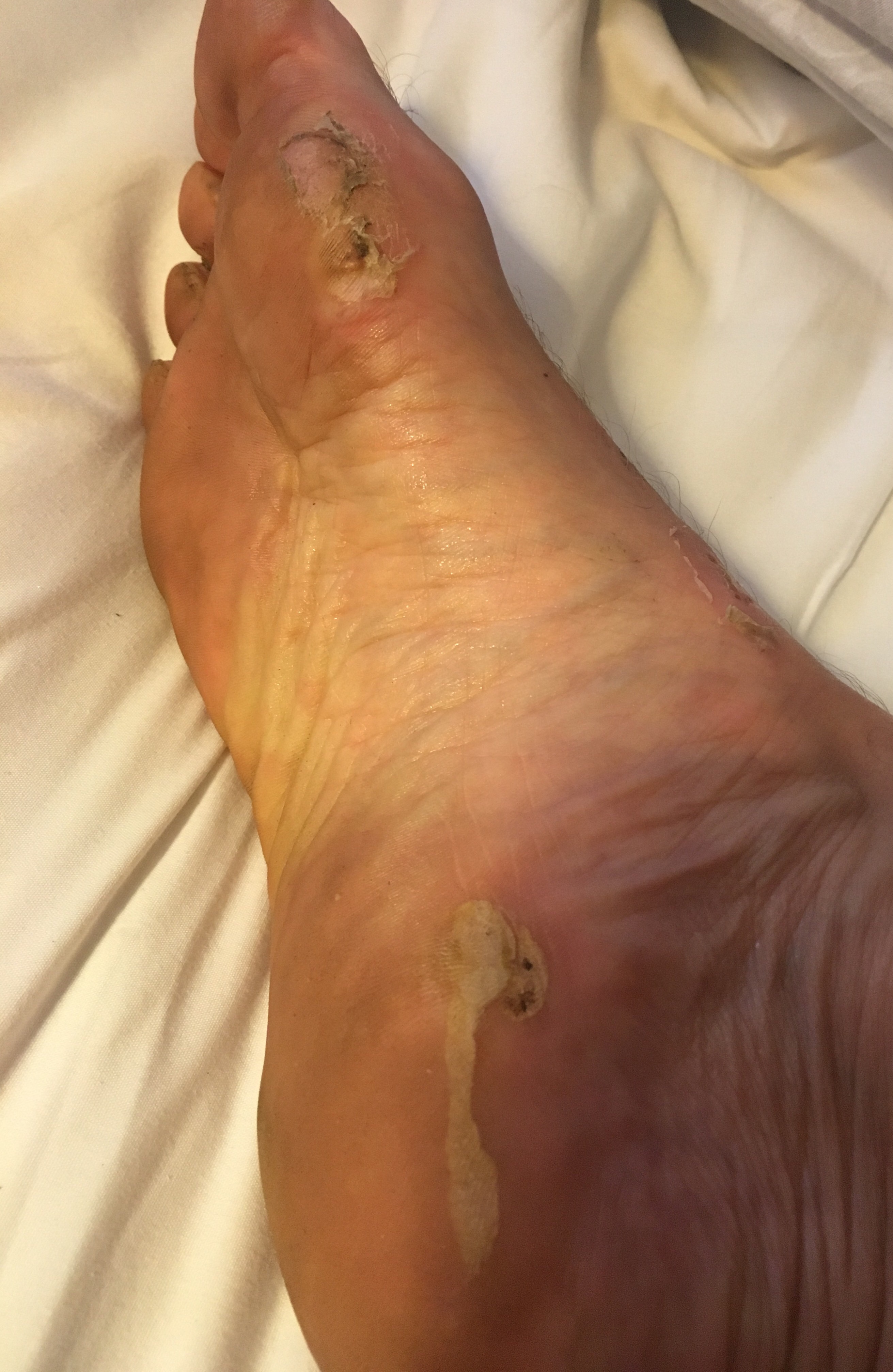
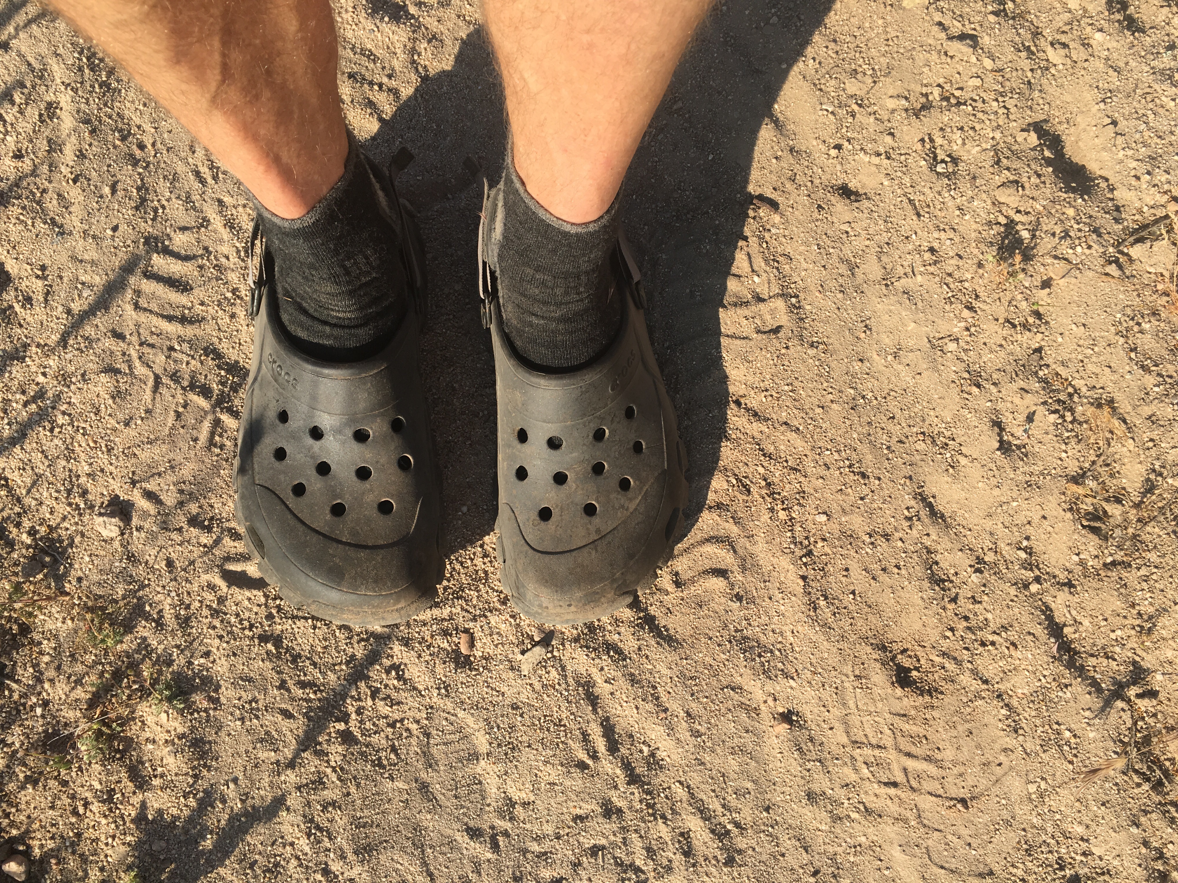
Well after 350 odd miles it is time for another blister update. Or not. Anyway, I switched from sandals to Crocs about 50 miles ago. The sandals were okay but I kept having to stop to dump the gravel/rocks. The Crocs have a closed toe so they don’t gather rocks as much.
Blisters starting to heal up….a bit
My feet feel better now than any time in the last three weeks. I actually came pretty lose to dropping out a week ago because of the blisters. Hiking is not fun when every step hurts. About half the other hikers I talk to have had serous blister issues so it is fairly common. I met one guy in Julian (Stefan from Germany) that had a blister that covered the entire front bottom of his foot. Wish I had taken a picture! I saw his buddy (Roel) yesterday but not Stefan – hope he didn’t drop.More healing blisters
I have gone through about 6 sheets of moleskin and countless bandaids (usually the first thing I resupply when I hit town).
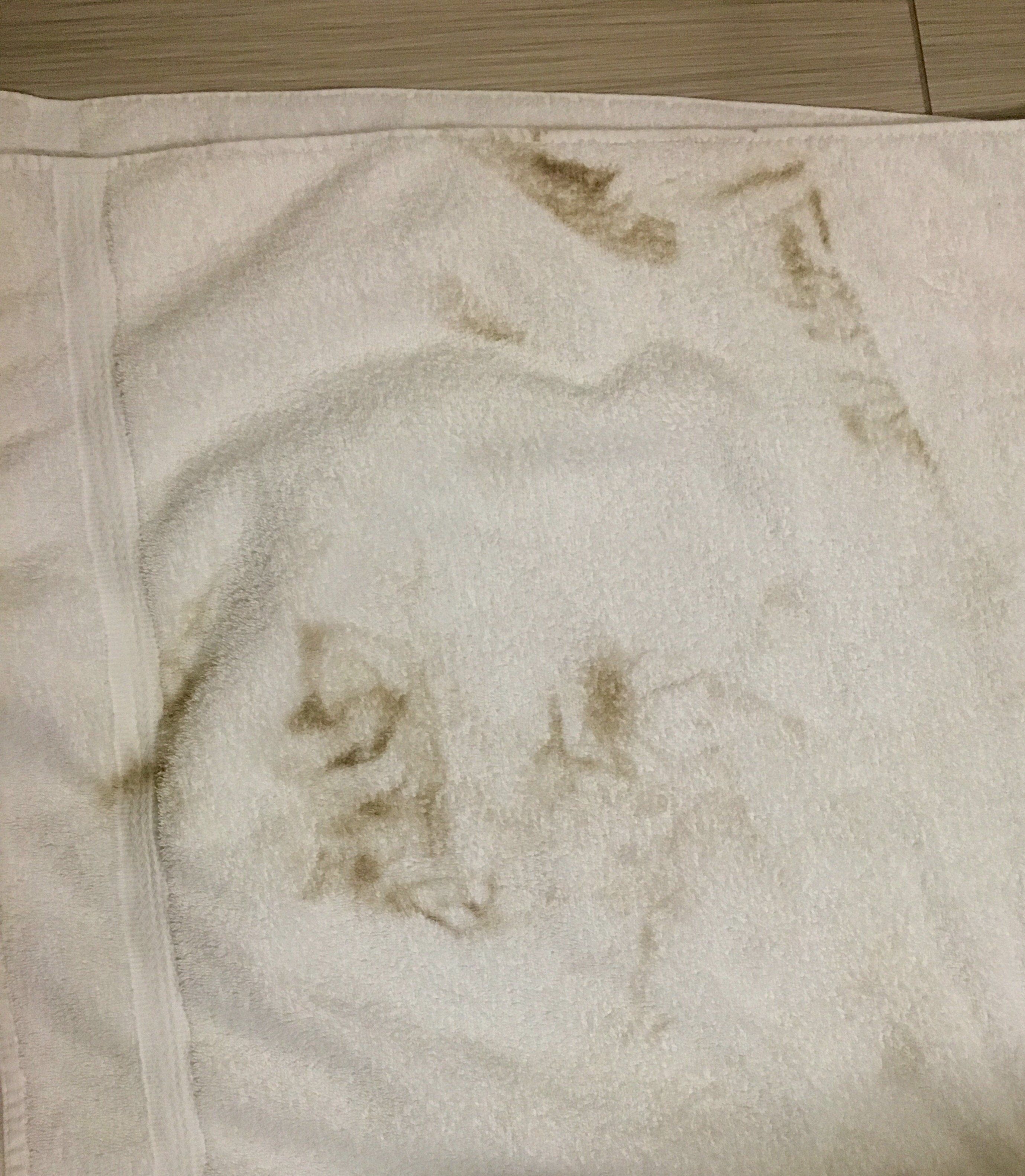
And I had to show what that first shower does to your hotel towel….
What your towel looks like after that first shower!
Butterfly just showed up (Saturday morning). He did not hook up with his host Angel yesterday afternooon and ended up sleeping under an overpass with a couple of female hikers who had the same problem. Night before last he slept in the spare bedroom of one of the largest houses in Wrightwood. Mansion to overpass! Life of a hiker on the cheap!
Butterfly warming up after his night under the overpass.
Next section is 85 miles which is 5-6 days for me. We keep heading west through the Angeles National Forest for 50 miles or so before turning north again. We are basically 60-70 miles east-northeast of Los Angeles.Next section. in the Angeles Natinal Forest
Met a couple of other hikers at lunch (Orange Blossom and White Sage) and we discussed the Endangered Species detour. They were going to do the Guthook detour but I said I was going to take the detour recommended in the water report (modified Halfmile detour) – it bypasses Mount Baden-Powell but avoids walking for 5 mile or so on the highway, which I hate. It is a 20 mile detour but I think adds no more than 1 or 2 miles.
Have some extra time (my flight from LAX is not until June 1) so I am taking a double-zero in Wrightwood because it is such a nice little town. Very hiker-friendly. $1 off lattes at The Village Grind and a free hot dog at the Wrightwood Market for hikers! I LOVE free stuff. Not as good as Julian but… still pretty good.
My home in WrightwoodEnjoying my free hotdog!
Pretty much everything in town is located within a block of the main street (my hotel is one block away) which makes it a great hiker town since none of us have cars. The hardware store stocks some hiker supplies and has a list of local angels that will host hikers (for those that can’t afford or get hotel rooms) or give rides. I plan on calling a few today to see if I can schedule a ride tomorrow morning to head back out – easier than hitching! A lot of places have special hiker deals or rates.
Main street in Wrightwood
There are several hiker hangouts in town but a big one is right in front of the town grocery store…
Big hiker hangout in Wrightwood – in front of the grocery store.
Did my re-supply (six days food, new bandaids and moleskin), laundry and planning yesterday so today is pure leisure. Might check out the library. Spent yesterday afternoon with Butterfly at the Yodeller (bar/burger place – another big hiker hangout) sampling the local brews. Maybe “sampling” is the wrong word.
Heard from my Canadian friends (Tin Man and Kathryn). They went back to Canada to heal up (she had a “cuboid subluxation” – dislocated foot bone) but plan on coming back in a few weeks. My very unscientific sampling says about 1/3 of the people that started in Campo have either dropped out or are on long layovers.
And it is COLD here in the mountains of Southern California!
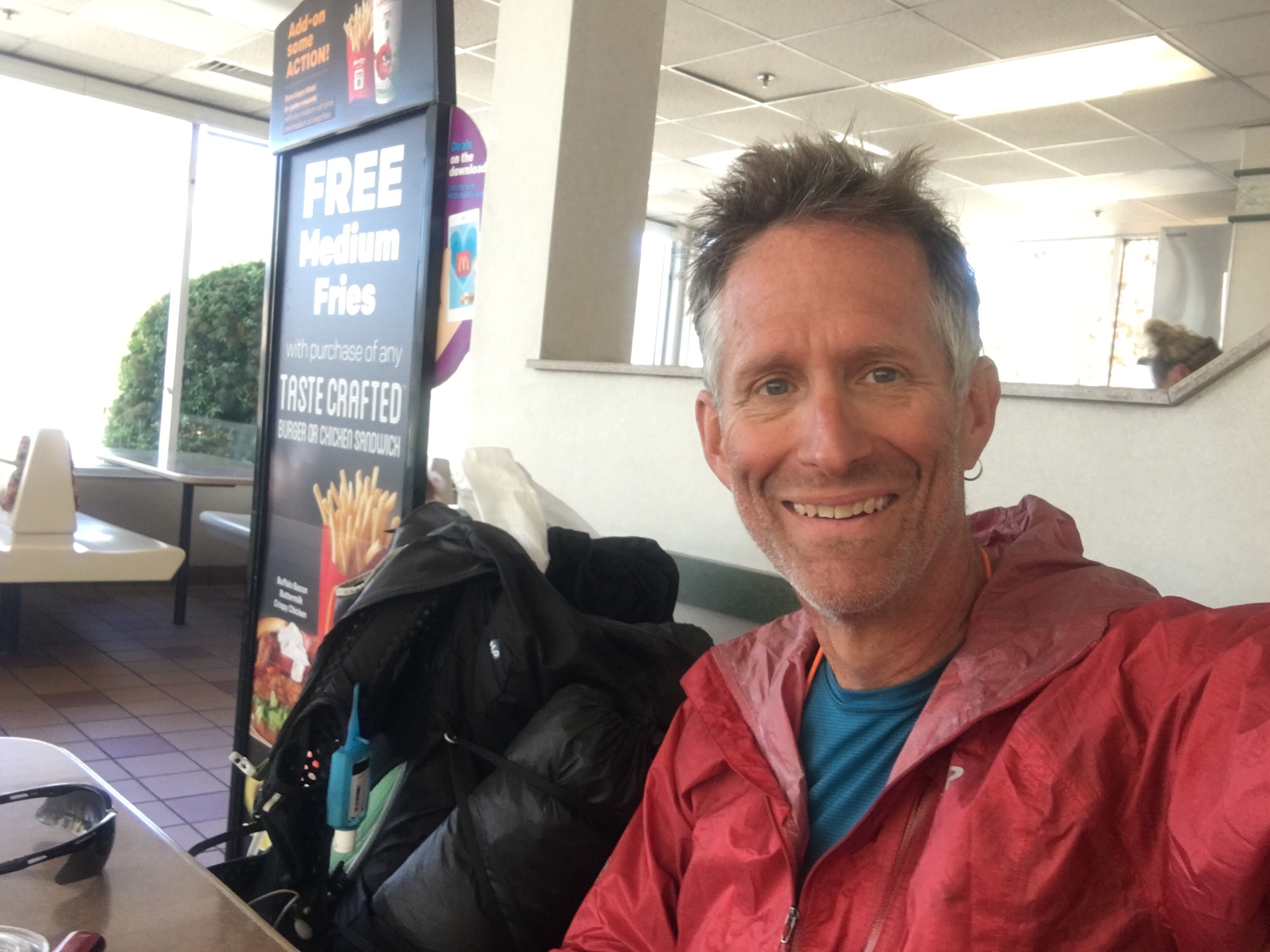
Stopped at the McDonalds for breakfast Wednesday morning before heading out of Cajon Pass and the big climb up to Wrightwood.
Fellow hikers hanging at the Cajon Pass McDonaldsShort (2 day, 30 mile) section but climbing almost the whole way, 3,000′ to 8,400′, before dropping down to Wrightwood at 6,000′. Took the Acorn Trail from the PCT to walk into town. Always more fun to walk into a down than having to hitch. Met Butterfly about 5 miles out of Cajon Pass and ended up hiking with him all the way to Wrightwood. Another old guy, he lives in California and is section hiking part of the PCT.Butterfly (aka “Tim”) on the trail to Wrightwood
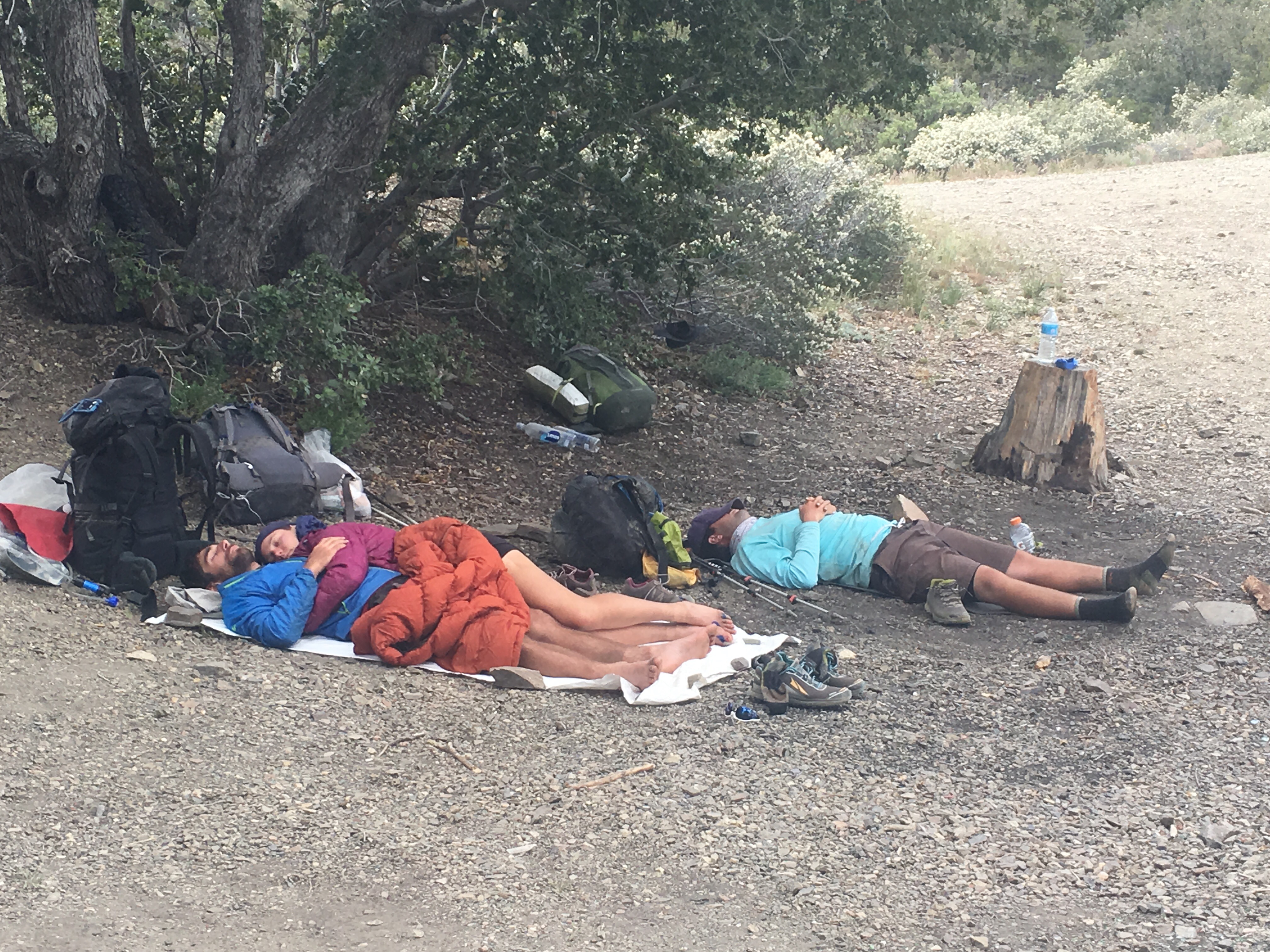
Did 15.5 miles the first day before camping at a popular stopping spot (shade/flat). Lots of hikers stopped for a quick nap before heading down the trail. This is a common approach – hike until lunch or it gets hot, stop for a nap, and then hiking after it begins to cool down a bit.
Afternoon naps on the PCT
Ran into a couple of hikers about 10 miles from Cajon Pass. Young guys from Washington who had just started in Cajon Pass and were on their second day (only 10 miles?). They had 3 weeks of food but were down to only 1/2L of water?!? On one of the longest dry sections so far? I left with 6L of water and had only a couple swallows left when I got to Wrightwood. Talked to a couple other hikers later that said they gave them a little water and advised them to turn around. Crazy. Most of the clueless people have dropped out by now but you still run into a few.
Looking down on the road to Wrightwood (the way normal people get there!)
Also met a nice young fellow from Germany, Robert (no trail name yet). [ By the way my trail name is Jesus (pronounced like in spanish, “heyzoos”) which I got over a week ago (walking in sandals – get it?) and have finally accepted. I get a lot of jokes about turning water in wine (or preferably beer) and walking across rivers without using rocks or logs.] Robert seemed a little depressed – having lots of foot problems – I sympathized! Foot problems can take all the fun out of hiking. Since I switched to the Crocs my feet are feeling better than in a many weks.
Taking a (sort of unplanned) zero in Cajon Pass. The Best Western is okay but there is basically nothing else here. A McDonalds, a couple of gas stations (with associated convienence stores), a Subway and a Taco Bell. The McDonalds is the nicest place to hang out in “town”. Plus it’s fun to watch the hikers straggle in. Most hang around for a few hours, charge their phones, eat a burger, get water and head back out. Us leisure hikers take advantage of all amenities.
So, after 24 days and 340 odd miles here are my thoughts so far…
What I like about the PCT:
Every day I am somewhere I have never been before. Every morning I am excited about where the trail will take me. It’s fun. I know I will see something new and be somewhere I have never been before.
The views are stunning. And there are lots of them. It is unusual to go more than a few hours without a view. Pictures (especially phone picures) do not do them justice.
The other hikers. They are great. I have learned a lot from them. Tin Man, Kathryn, Tweaky, Nuke Boy, Garfield, 73, Rose and all the rest.
Trail angels. Met CopperTone two days ago – with a smile and root beer float! Ziggy and the Bear – in their 80’s and hosting hikers for 20 years. Scout and Frodo – crazy nice people. (Editorial – how come all the people I meet that are actually living the “Christian” ethic – giving of themselves, helping others, are all Democrats?)
Simplicity. Everything you own, everything you need, you are carrying. And it all weighs less than 30 lbs. Sometimes less than 25 lbs. Sometimes, rarely, less than 20 lbs. All the clothes I have needed for the past three weeks fit in a bag the size of a soccer ball.
Hiker towns. Julian, Idllewild, Big Bear Lake. These are great little towns full of friendly people and, usually, pretty good restaurants. And beer.
Hitching – it confirms my belief that people are basically good.
What I don’t like about the PCT:
Being away from family for weeks. Months. It’s hard.
The tyranny of the miles. This is tough to explain. But you HAVE to do miles. If you see a pretty camp site 5 miles into your day, you can’t just stop and camp. You have so much food (and usually water) so you have to keep moving. You have to hike.Sometimes it just feels like a job. And I’m retired!
Water. Worrying about water. For the first 700 miles or so it is relentless. You go through sections (last 70 miles for instance) where it is not a problem. But then you hit a 25 or 30 mile stretch with no water. 6L of water turns your light 24lb pack into a 36 lb monster.
The trail….sometimes. You gotta wonder. Coming down from San Jacinto, you could see I-10 about 3 miles away. But the trail wandered, seemingly aimlessly, seemingly just to add miles (the trail goes to Canada boys, I don’t think you need to add miles!), turning a 5 mile hike into an interminable 15 mile descent. I know I’m probably missing something but it makes me much more sympathetic with hikers who bushwhack to avoid extra trail miles.
The food. Freeze-dried stuff and junk food. But you have to eat – walking for 8 hours a day burns up serious calories.
Observations
When hitching, you have a much better chance getting a ride from someone driving a klunker that someone in a Lexus SUV. I think this is because poor people can empathise with hitchhikers. I don’t think the Lexus drivers even see us. Put another way you have MUCH better chance getting picked up by someone with an Obama sticker than a Trump sticker.
The old adage about it never rainning in southern California is basically true. In 24 days the most I have seen is a light drizzle a few times. Course one of those was accompanied by 50 mph winds so not very nice.
And speaking of wind, it is WINDY in southern California. There is a reason there are a ton of wind generators here.
Riding in a car after walking for a couple of weeks is scary. I had my foot on the imaginary passenger brake the whole 12 miles of my last hitch.
And….More shots from the trail…
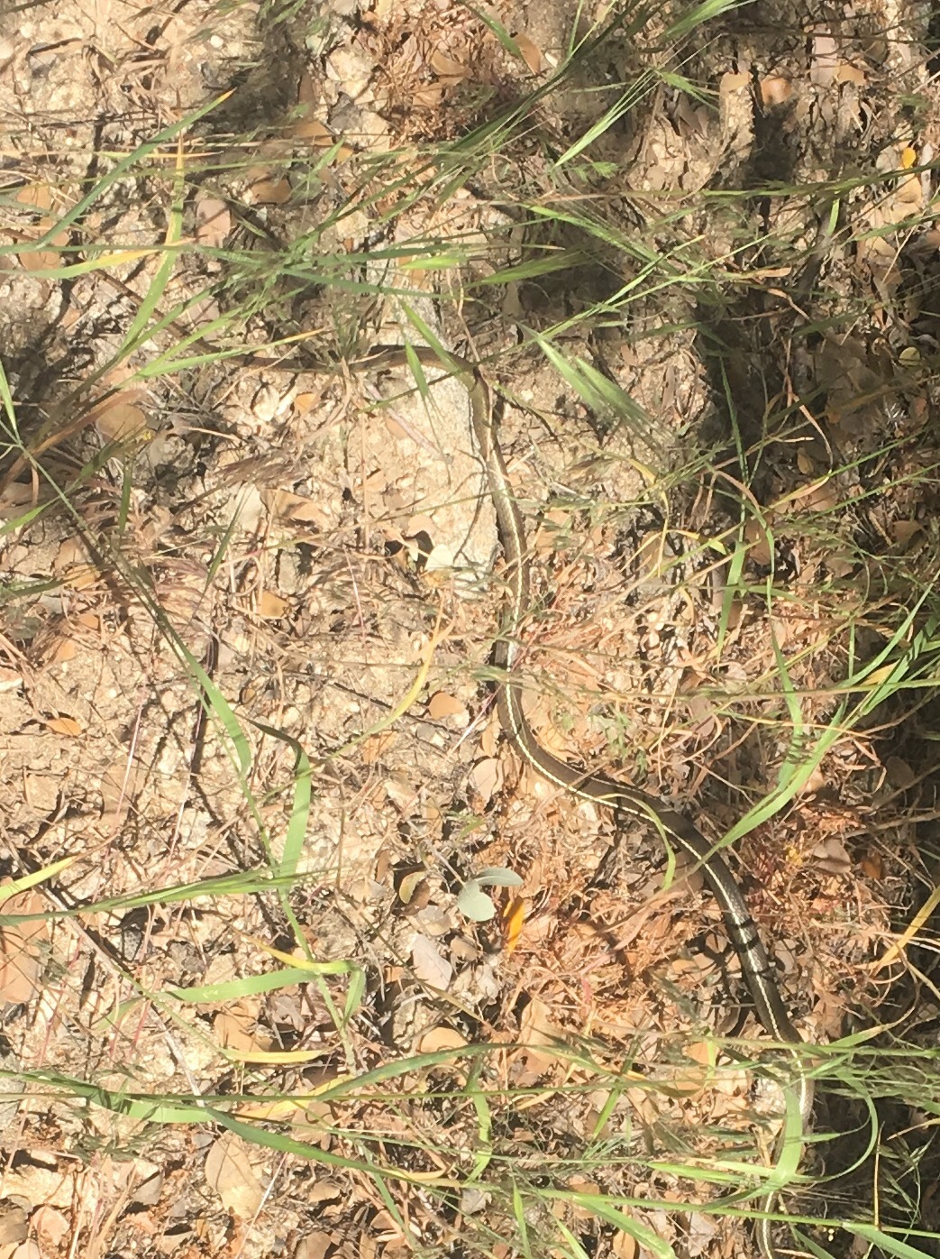
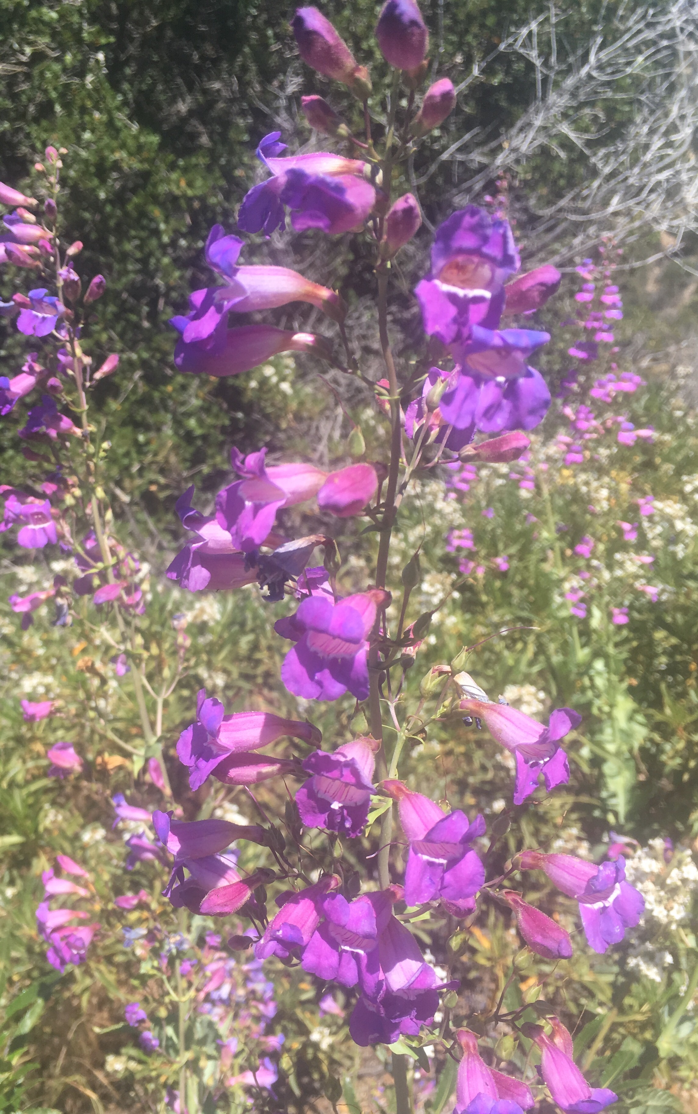
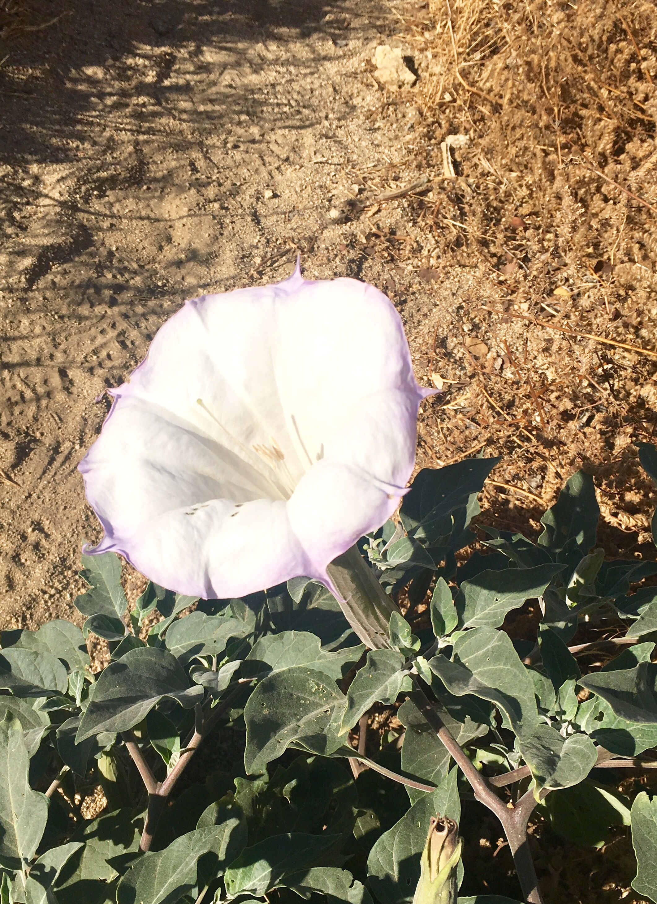
One of the many snakes I have seen. Still no rattlers though!Pretty flowers!And MORE pretty flowers!300 miles! (40 miles ago)Looking down to Cajon Pass. Climb out tomorrow over the mountains in the background.
Arrived at one of the most famous PCT landmarks this morning…. the McDonalds at Cajon Pass!
They even get a sign on the trail!Some of the high quality clientele at the Cajon McDonalds
And, there is a Best Western just up the road! So, after 68 miles or so I am taking a zero day to let the sores on the top of my right foot to heal a little.
My right foot (sounds like a movie)
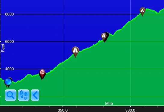
I am currently hiking in Crocs. This is my fourth footwear option. My last pair of sandals seemed to work okay but I was constantly stopping to get rocks and sand out and I got a blister on my heel from a rock I ignored. So I switched to the Crocs and they seem to be working.This weeks hiking footwear solution. I have about 25 miles in these guys. I want to be in good shape for the hike out of here because it is a killer, 28 miles with no water, so at least 6L of water (13.2 lbs!) and it is all uphill (5500′).
Spent a couple of days in Big Bear Lake hanging out with “73”, a retired continental pilot (age 73). We rented a car together to get from Ziggy and the Bear’s. I ditched the sandals I got in Idyllwild – they were giving me huge heel blisters. Bought a cheap pair of sandals and some Crocs.
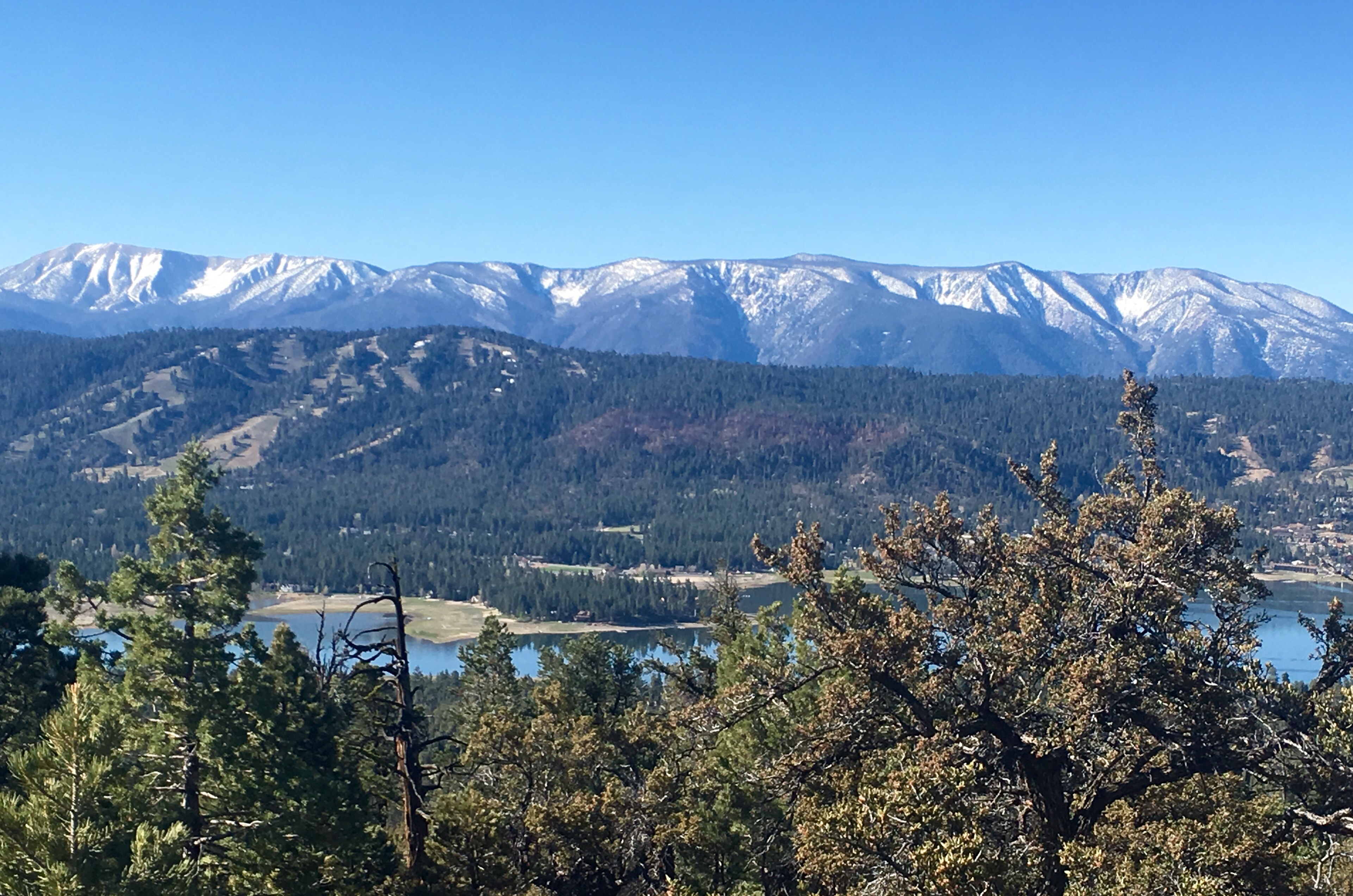
View of Big Bear Lake from the trail
Headed out of BBL on Thursday (May 12). It is now Sunday, May 15. I have covered 60 miles in four days and am currently typing this post in my tent at PCT mile 336. This will be my first post from the trail – the first time I have had decent cell coverage.
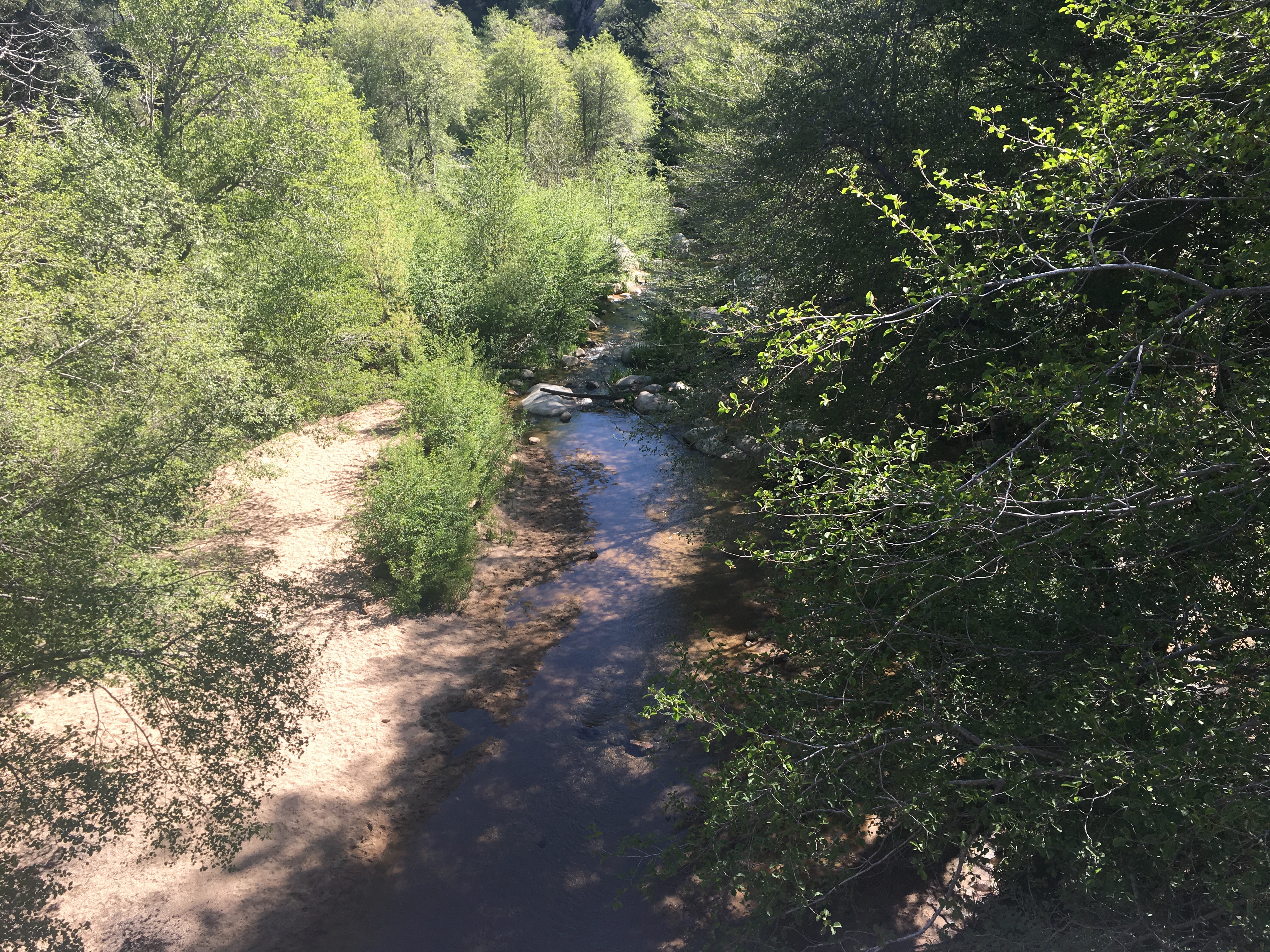
This section is a bit unusual in that there is plenty of water. The trail spends a good bit of time near sizeable rivers and passes a couple of good sized lakes.
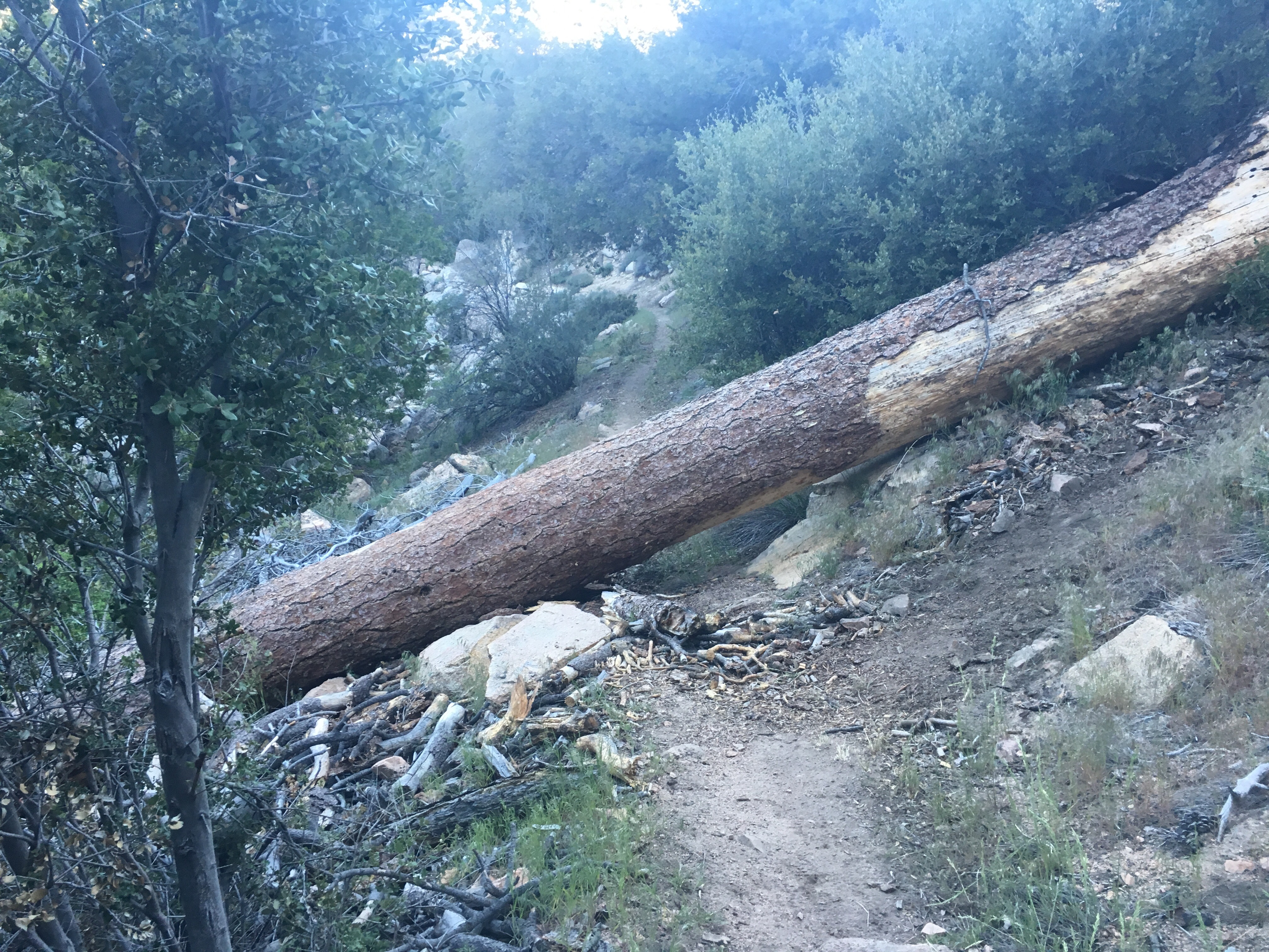
Trail Side Creek Silver Lake Typical PCT Obstacle
I hit Cajon Pass in the morning, a big deal because there is a McDonalds 1/2 mile from the trail. Also a Best Western which I intend to take advantage of!