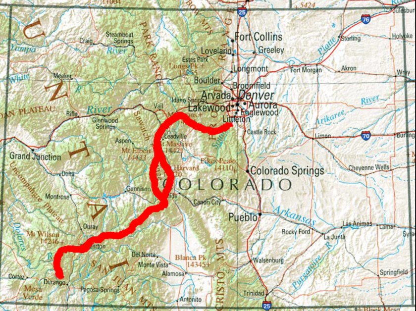
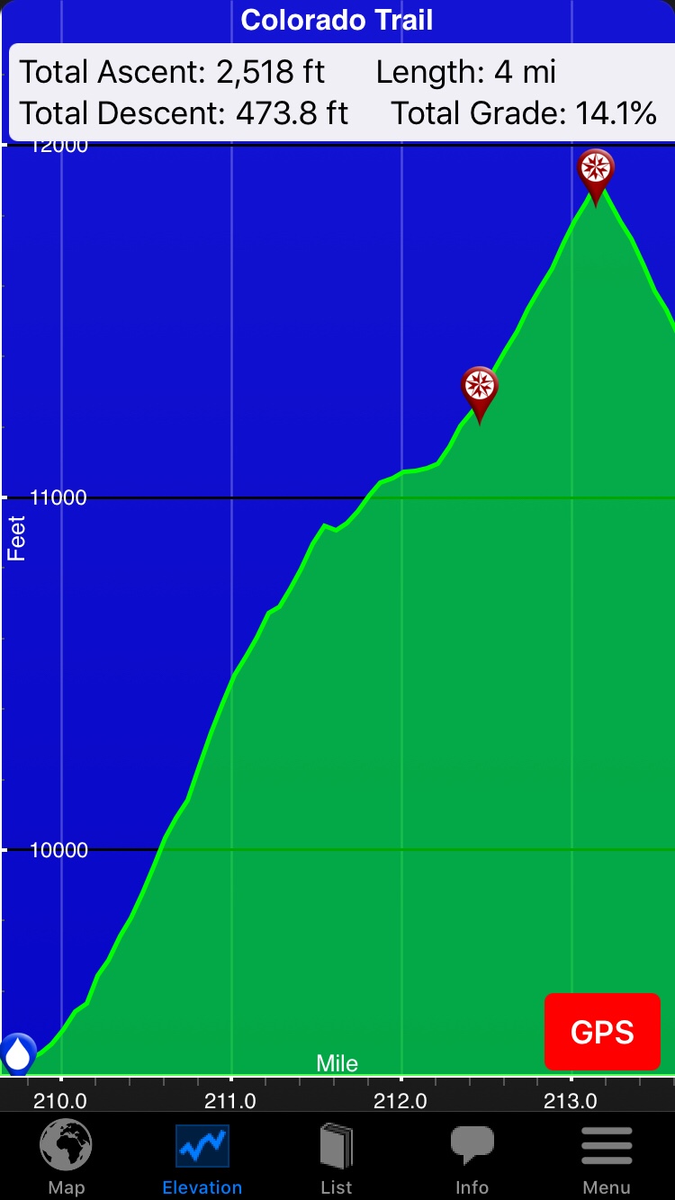
Got a ride from Connie (one of the California ladies I met in Twin Lakes) back to the trail (skipping a road walk). There followed two very tough (4,000′ ascent) days. The picture below shows a fairly typical climb on the CT.
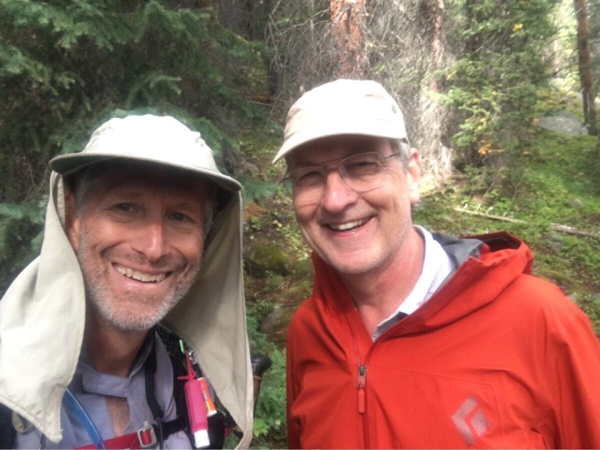
The second day out I ran into Bobby, another southbound thru-hiker. We camped together one night but Bobby is doing 19-20 miles a day and hikes just a bit faster than me so he is probably another 10 miles more up the trail now.

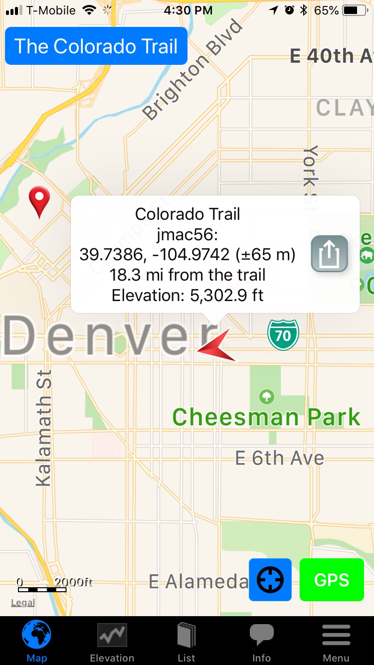
I am typing this at Mount Princeton Hot Springs Resort (CT 230), where I stopped for a night to pick up a few needed supplies at the little store and a hot shower and a warm bed. Most hikers bypass this place because they do not have laundry service and it is pricey. Speaking of laundry…

I attempted Mt Yale on day 3 of this section, another 14er you can reach from the CT but it did not work out. I camped at the saddle and started up in the morning but, while it was clear, the wind was blowing very hard and the trail was more of a climb than a hike so, after about 1/4 of the way up I turned back. This was also my first experience with a Class 2 14er (Mt Elbert was a Class 1) and it was noticeably harder.

And I passed the 200 mile mark!
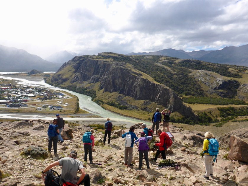
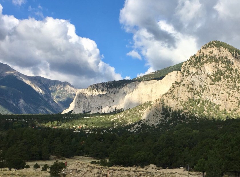
Had some great views…


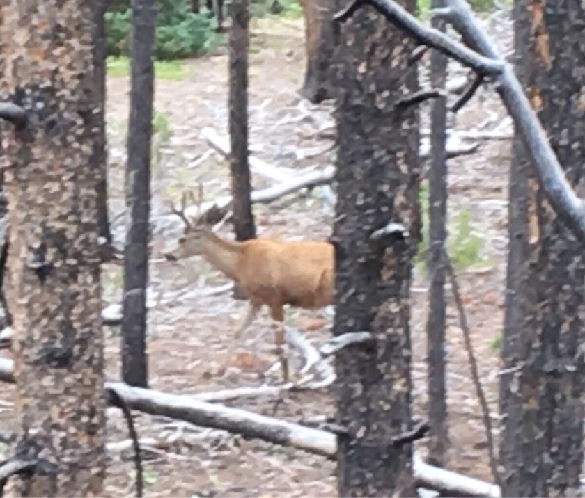
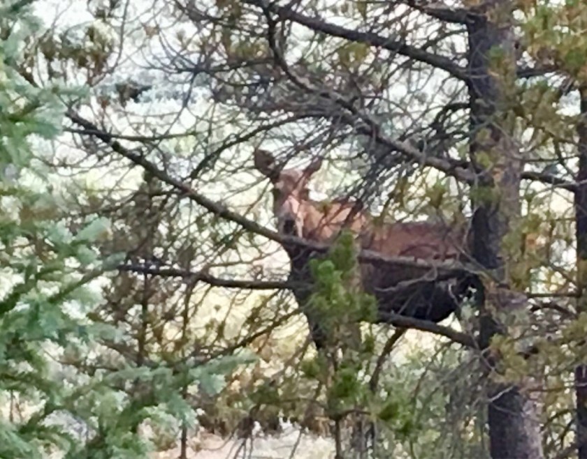
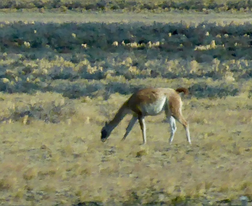
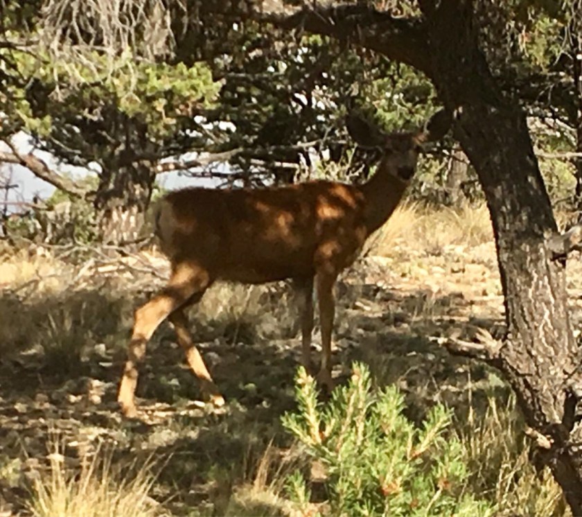
And saw a few more animals… (still no bears!)…

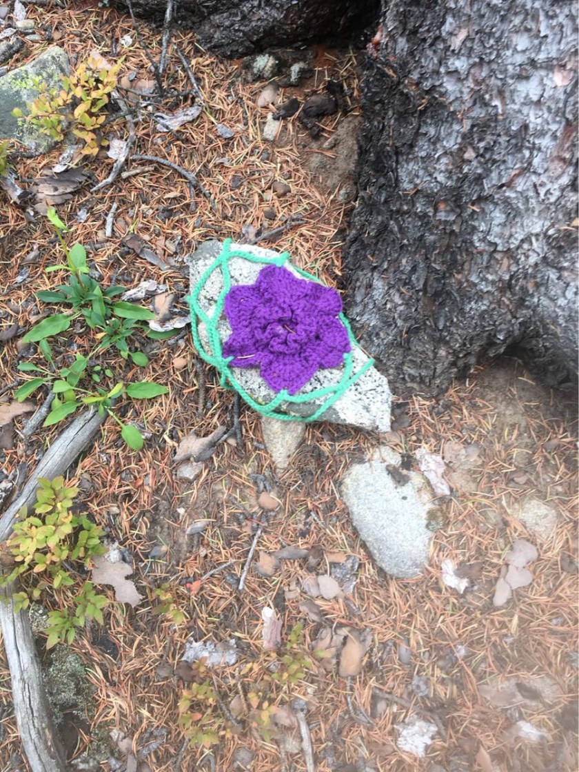
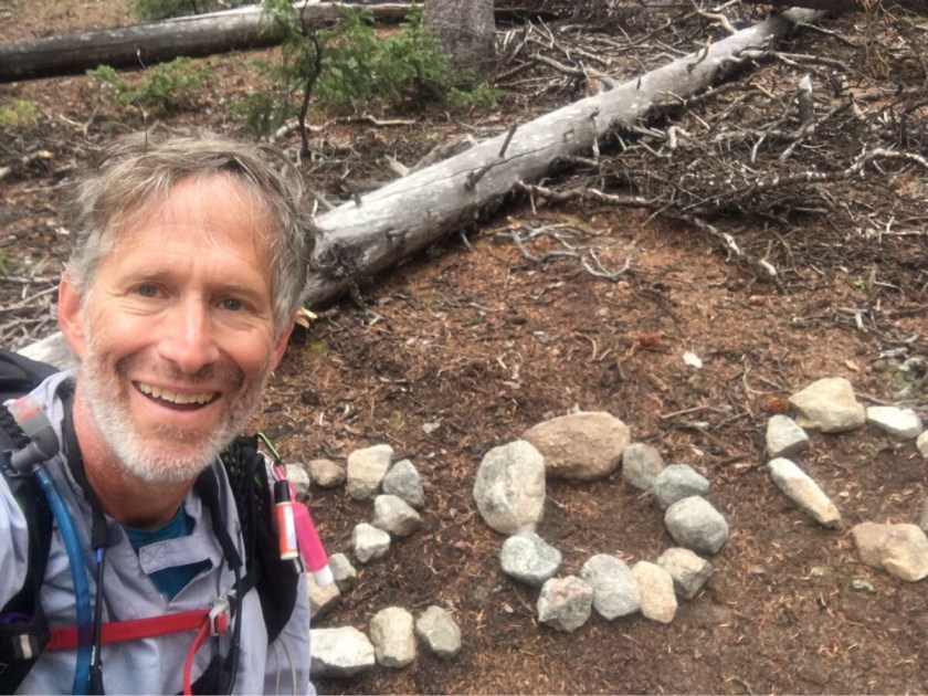
And one crocheted rock!