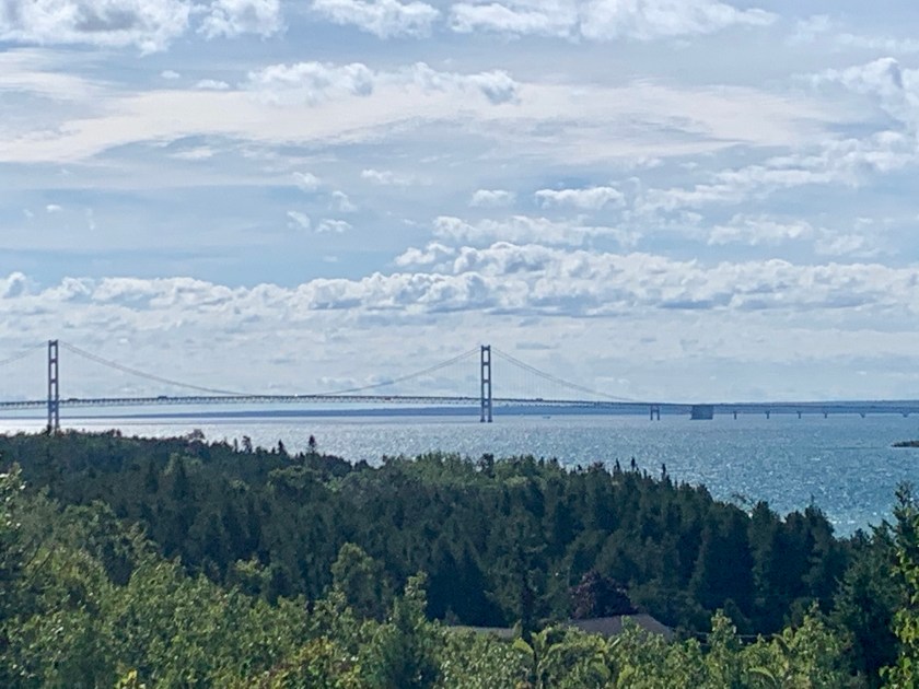
Heading further east we left the UP via the bridge over the Straits of Mackinac (which connect Lake Michigan to Lake Huron) into “downstate” Michigan.
Mackinac Straits bridge
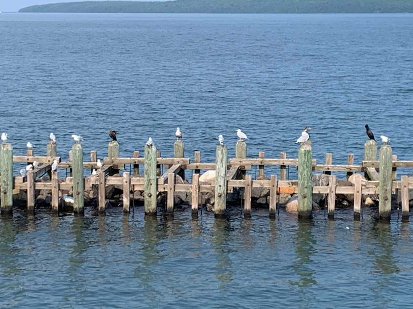
Cheboygan State Park and Lake Huron
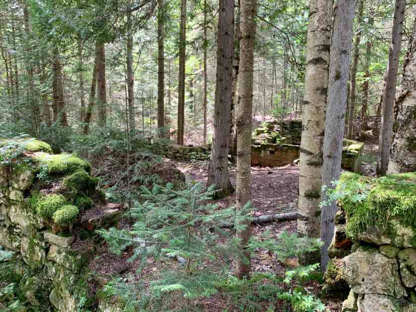
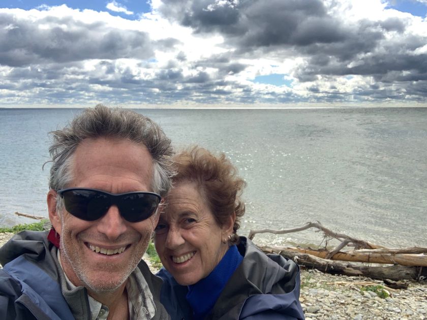
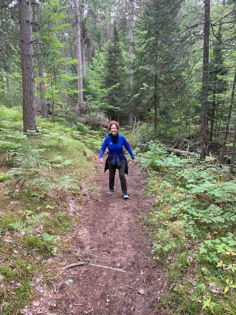
We arrived at our campsite around noon, set up camp and then went for a hike across the small peninsula that makes up the park to Lake Huron (the campground is on a small protected bay off the lake).
Hiking to the beach.Lake Huron!Another lovely beach
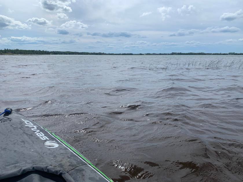
This makes our third Great Lake! When we got back to camp I took the kayak out for a spin in our little bay.
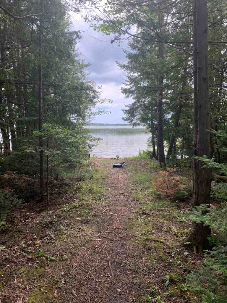
Path from our camp to the bay.That man needs a shave!Bobbing on the waves.
We were only here for one night which was probably good since the campsites were very close together and we could here at least one person snoring.
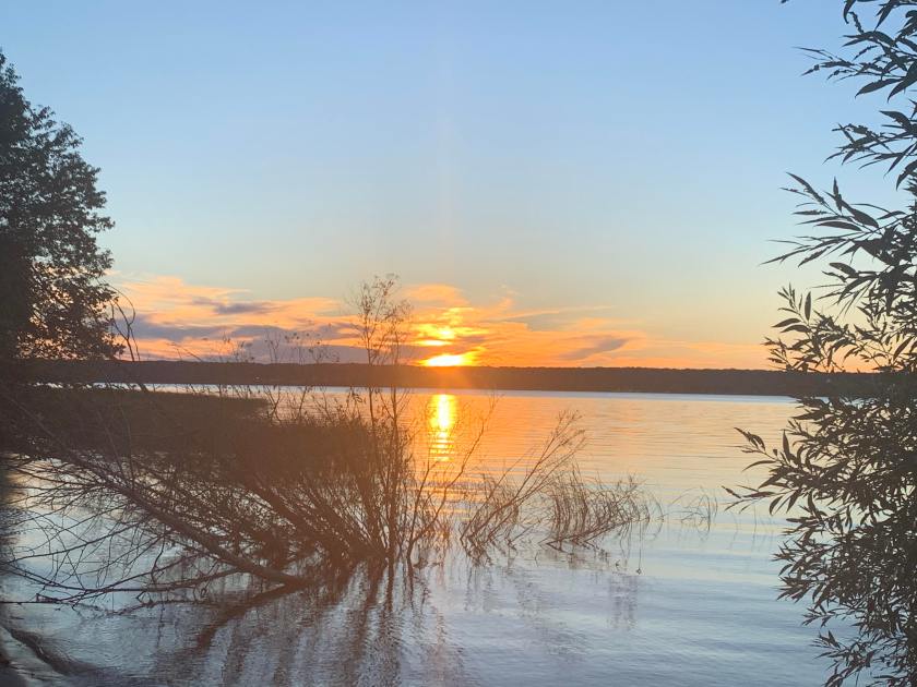
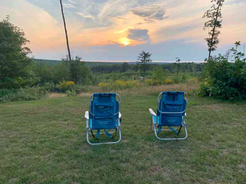
Getting inventive for grilling our fake-brats.One last sunset….
Leaving Wisconsin behind we headed east toward the western edge of Lake Michigan in that funny part of Michigan that is isolated from the rest of the state. This is a very conservative area, we saw tons of Trump signs.
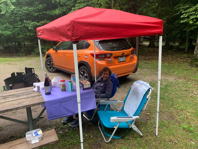
It was still raining as we neared so we stopped at a Walmart and bought (the last!) small pavilion tent which made our evening much nicer.
Our little dry spot for dinner.
The next morning dawned sunny and dry so we flipped our tent over to dry.
Drying out in the sun.
Peninsula Point
Our campground was located on a peninsula that sticks out into Lake Michigan with Little Bay de Noc on the west and Big Bay de Noc on the east. “Noc” was a descriptive term for the local Indians. Our first day we drove out to the end of the peninsula where there is an old lighthouse.
Windy (but not raining!) at the point.The Peninsula Point LighthouseNow that would be a tough flight!
This turned out to be one of our favorite campsites. It was big, isolated and we had our own little forest that bordered on the lake. Dinner was veggie-burgers on the grill.
The chef works with limited tools….A pretty sunset….Lake view just down from our campsite
Bay de Noc Grand Island National Heritage Trail
The next day we did a short (5-6 miles) section on the Bay de Noc Trail. The trail follows an old 40 mile Indian portage trail between lakes Michigan and Superior.
Hiking girl!
The back to the campground for another beautiful sunset.
Another lovely sunset on Lake MichiganSunsetLast night on Lake Michigan
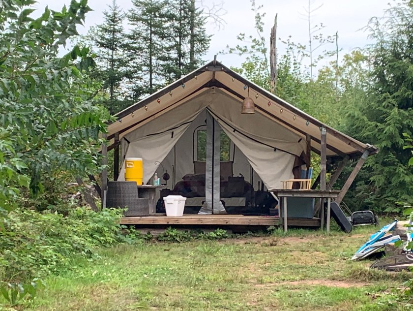
We arrived at our http://hipcamp.com reserved site near Sand Bay on Lake Superior on the afternoon of Tuesday, Aug 25 for a three night stay. This is a private campsite hosted by the land owner and it was very nice. We had our own composting toilet, cold water shower and a tent/cabin with a bed.
Our home for three nights.
We were met at the end of the paved road by Luke on an ATV. We bumped along behind him on a jeep track for 1/2 mile to our parking spot (with a view of Lake Superior). Our tent was another quarter mile 0f walking but Luke took our coolers so we made it in one trip.
Our little tent/cabin even had a covered patio!
Bayfield and Madeline Island
Our first full day in Wisconsin was spent exploring Bayfield, looking for a wifi hotspot so we could join Martini Night! Fortunately the Bayfield Inn had outdoor seating and decent wifi.
The sister ferry headed the other way.
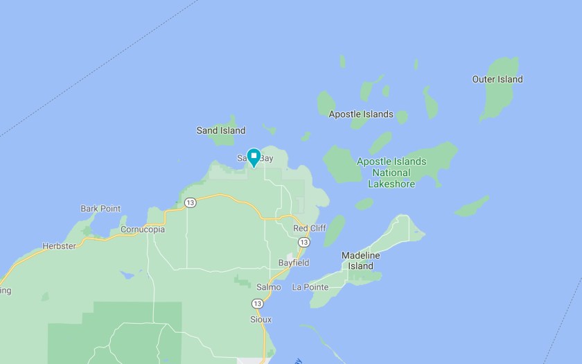
With the afternoon to kill before martinis we hopped the ferry to Madeline Island (see map above, the largest of the Apostle Islands) and spent a few hours sightseeing.
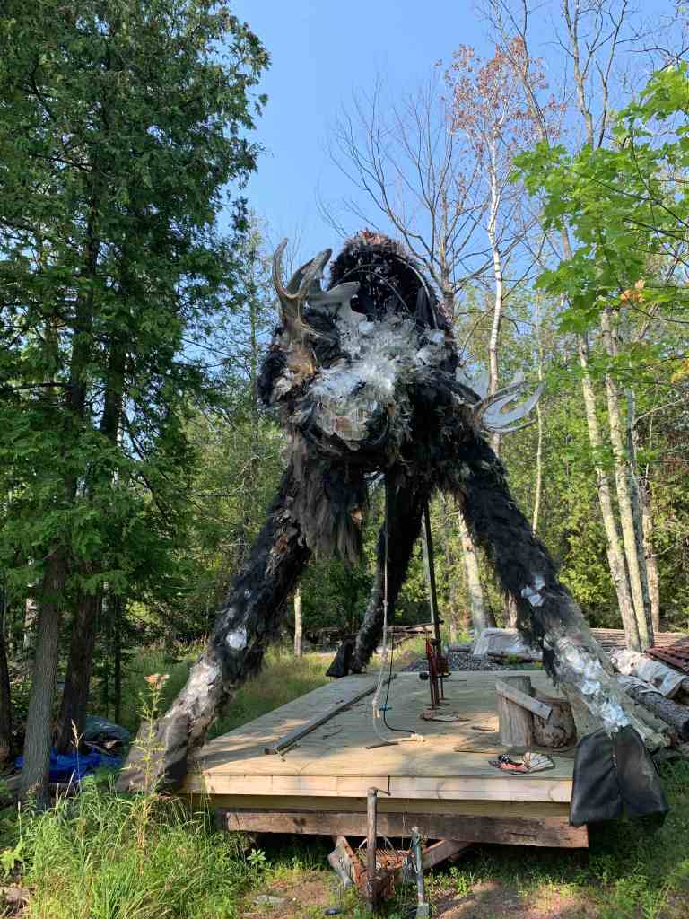
Sign on a very inviting bar on Madeline IslandThis was in someones backyard. It is some kind of nightmare giant moose. I think.Welcoming committee in Bayfield. Madeline Island is in the background.
We arrived back in Bayfield in time to score a good outdoor table for our Martini Night Zoomathon. Things were going well until the thunderstorm hit and they closed the bar …. and kicked us out.
Cornucopia
The next day (Thursday) we visited another little beach town, Cornucopia. The weather was much nicer and we ended up doing a 4 mile trail hike to a lake overlook.
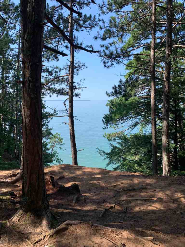
After 2 miles… Lake Superior!
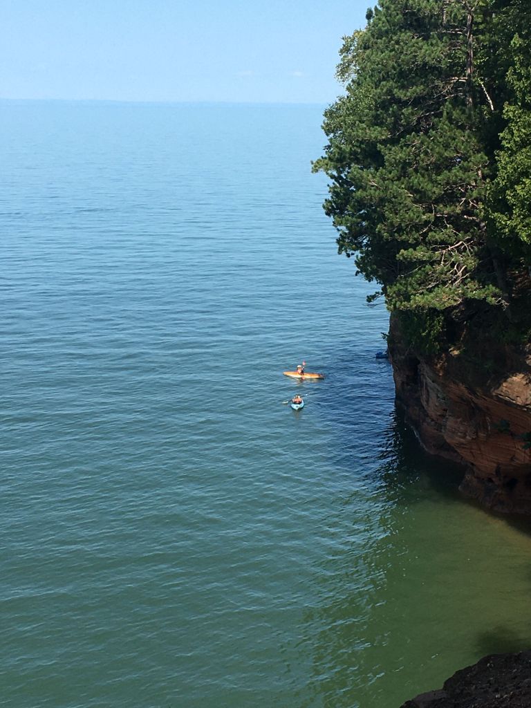
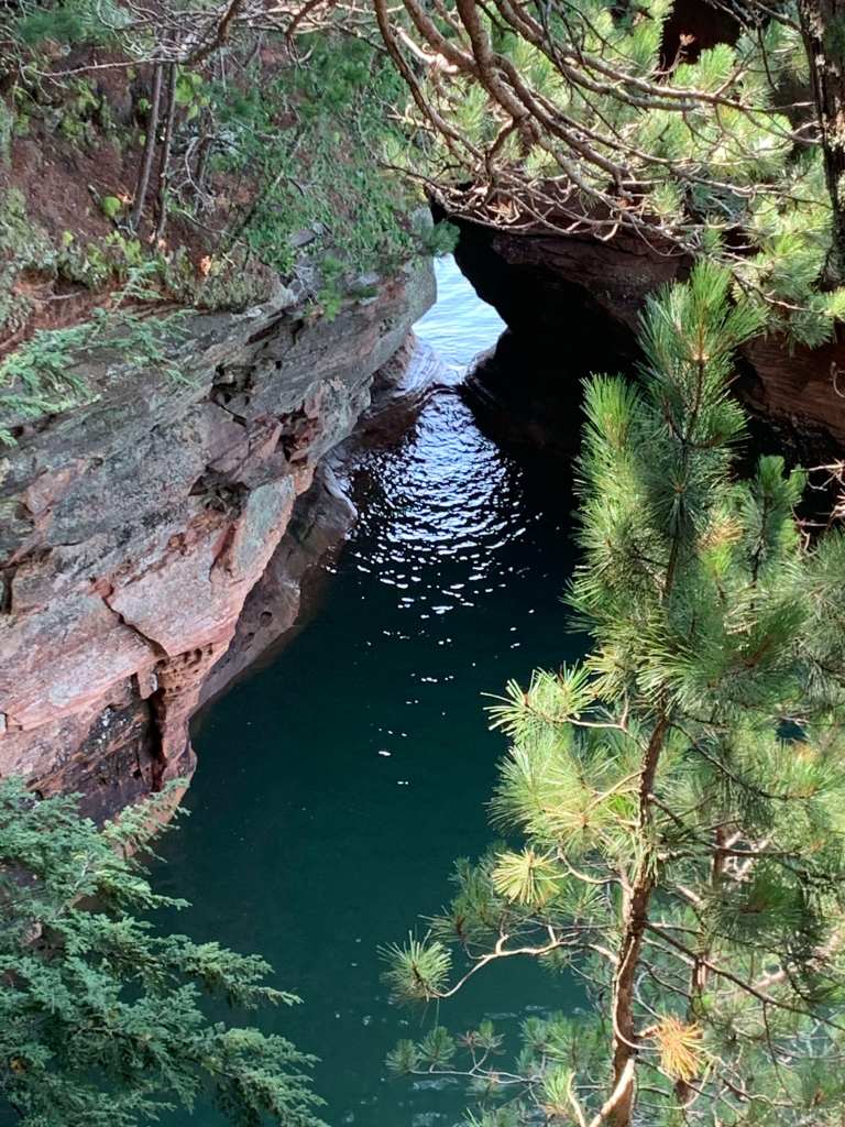
The hike takes you to a favorite kayaking spot with caves though we were seeing it from a different angle.
Kayaker near the caves below us.Whoaa!One of the caves we could see.
After the hike we had lunch on the beach (smoked whitefish from a local shop).
On the beach near Cornucopia, WI
And swimming… or wading at least. One little boy walked up to the water, put his foot in and told his mother “..it’s so warm!” Warm being 60 degrees. But you can sit out without melting in the sun.
Our final Wisconsin sunset….
We awoke the next morning, after that beautiful sunny day, to a pouring rain. We got totally soaked packing up the car. Hopefully the weather will be better in Michigan!
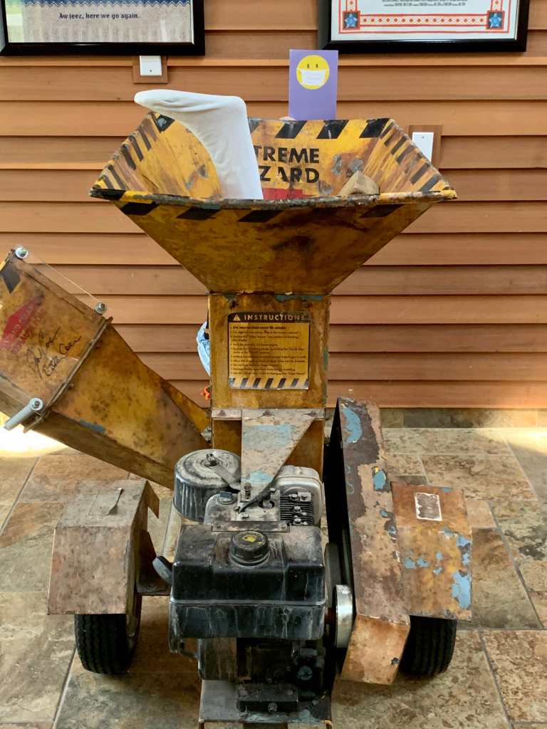
We left the Badlands a day earlier than we had planned because of the searing heat, stopping for a night in Watertown, SD before arriving in Fargo, ND (another state bagged!). And of course, Fargo’s claim to fame is the movie of the same name. And the star of the movie is the…. wood chipper!
The actual wood chipper from “Fargo”
The chipper is so famous they have a stunt double outside the welcome center in case you arrive when they are closed and still need that chipper shot.
So popular they need a “stunt double” wood chipper!Fargo tourists!
We only spent a day in Fargo but discovered that it is on the state line with Minnesota. Who knew?
Brainerd, MN and The Mississippi
Tracking east from Fargo we immediately entered Minnesota and, of course, had to side track south to Brainerd for …. Paul Bunyan!
Paul Bunyan and friend.
And, surprise of surprises, we passed over the Mississippi river just a 100 miles or so from the headwaters …. she’s a lot smaller up here.
Long ways from New Orleans!A much smaller Mississippi.
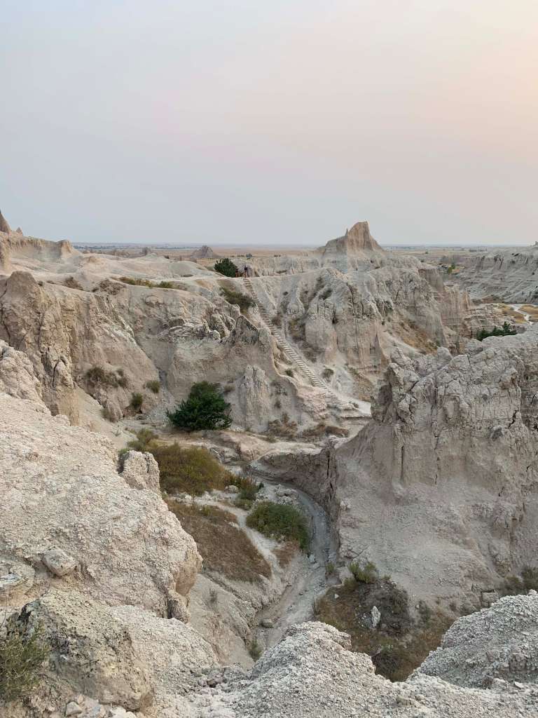
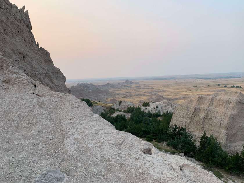
The Badlands were a big change from the Black Hills. Less than 100 miles due east the scenery changes from the lush, Ponderosa Pine covered hills to a dry, arid, almost alien moonscape.
We arrived at our campground (Cedar Pass CG) around noon and the temperature was already in the low 90’s.
A big change from the Black Hills! Badlands campground.
After setting up we explored the park a little, stopping at the visitors center to get info on hiking. Even though it was brutally hot we did the short Cliff Shelve Trail.
A couple of hot hikers on the Cliff Shelf TrailView from the Cliff Shelf Trail.
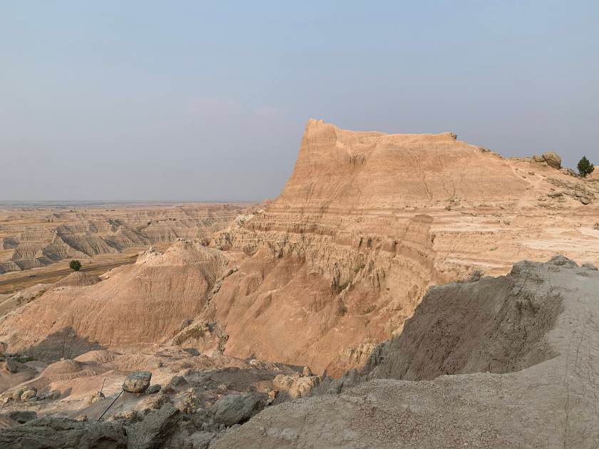
Everywhere you look the views are stunning. But, at least in August, it is hot, hot, hot. We decided to forgo anymore hiking until the next morning when the temperatures would be more reasonable.
The Notch Trail
We had planned to stay for two nights but both because there really aren’t that many trails (we did almost all of them in one afternoon and one morning) and because of the heat we decided to leave after one night.
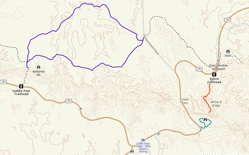
Hikes in the Badlands.
We were up early (5:15 AM) and making coffee and packing up. We wanted to do the Notch Trail while it was cool(ish). The trail is “not recommended for people with a fear of heights” so it sounded perfect! Roberta was VERY excited.
Sunrise as we start the Notch Trail
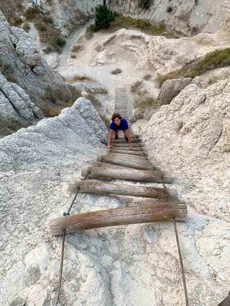
The trail is less than two miles round trip but the sign warns that it is difficult and can take up to 1.5 hours to complete. We did it in 40 minutes with lots of stops for pictures but it was a lot of fun and…. there was a ladder to climb!
Climbing the ladder on the Notch TrailView from the notch looking back the way we came (you can see the ladder).View from the Notch looking south(ish).
Medicine Root/Castle Trail Loop
After finishing the Notch Trail we headed over to the Medicine Root trail to get in another 5 miles before it got too hot. On the way over we ran into some wildlife.
A bighorn sheep on the way to our second hike.
We did a loop, 2.5 miles out the Medicine Loop trail to Saddle Pass and then back along part of the Castle Trail.
View looking south from Saddle PassView west from Saddle Pass
On the way back on the Castle Trail we saw some very strange formations.
I guess the Egyptians settled in South Dakota.
After finishing up our hike (and just as it was starting to get hot) we drove out the Badlands Loop Road which has some of the most stunning scenery in the park.
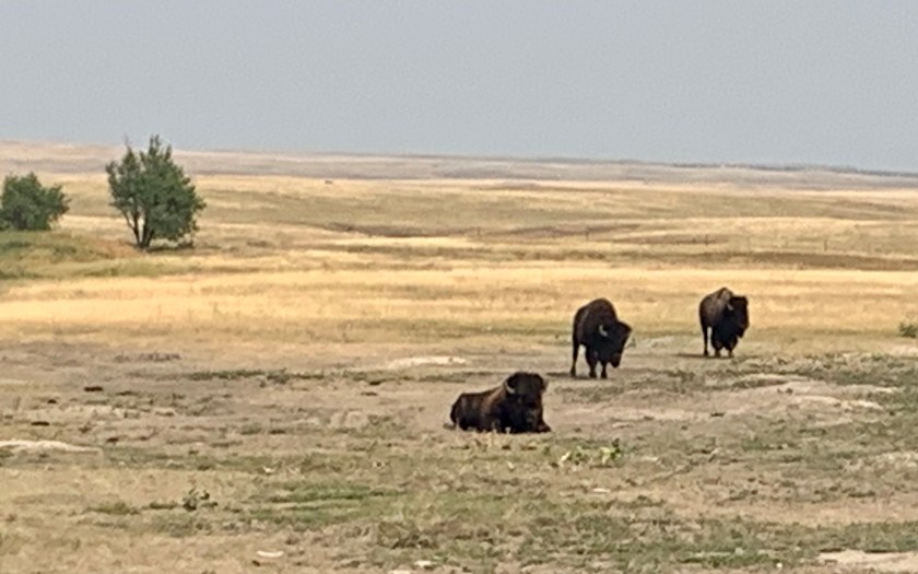
View from the Loop Road.More wildlife as we exited the park. Also saw lots of prairie dogs but those guys are hard to photograph!
We arrived for our two night stay at a lovely little campground (Grizzly Greek Primitive) in the Black Hill National Forest after a long (~8 hour) drive from Colorado Springs. It was sprinkling when we arrived but stopped soon after and the campground had a lovely stone picnic structure that looks like it was built by the WPA.
Rain shelter …. and cocktails!Our home at Grizzly Creek Primitive CG
Recreation.gov classifies this campground as “primitive” but it had everything we wanted (pit toilets and water).
We spent the next morning in the land of big heads, first visiting Mt Rushmore. We arrived before 7:00 and for the first hour saw very few people. By 9:00 AM it was starting to get a bit peopley.
Some REALLY big heads…. explains why Trump want to join (replace?) them.A little head and some big heads.George, in profile.
It took the Gutzon Bordlum 14 years to reshape Mt Rushmore and I have to say it is pretty impressive. Unfortunately, unlike Cary Grant in “North by Northwest”, you can’t climb on George Washington’s nose. Or even Lincoln’s.
And, to keep things balanced, we also visited the (very unfinished) Crazy Horse Memorial a few miles from Mt Rushmore.
The very ambitious Crazy Horse MemorialThey have a long way to go!
The Black Hills (named that because, from a distance, the Ponderosa Pines make the hills look dark) are lovely with lakes and hiking trails (and mountains with very big heads). We did a couple of trails ending up briefly on the 110 mile Centennial Trail (traverses pretty much the entire Black Hills National Park from north to south).
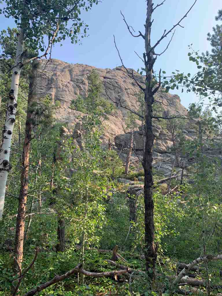
Pretty streak on a hike.Rocks and trees in the Black Hills.Typical view in the Black Hills.
So, after two nights in the Black Hills, we head northeast to The Badlands. The Black Hills were quite nice, the weather was moderate, even in August and the Centennial Trail goes on the list of potential thru-hikes!
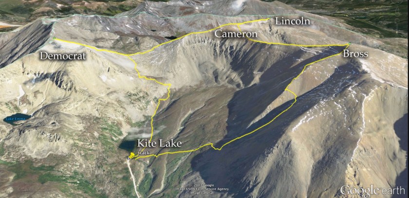
It’s called the Decalibron, for Mt Democrat, Mt Cameron, Mt Lincoln and Mt Bross (not sure where the “n” comes from). Four 14ers (mountains over 14,000 feet) that can be climbed in one loop.
You have a couple of options. The trailhead at Kite Lake is about 2 hours west of Colorado Springs (near Alma). Some people just get up very early and drive there. For me that would have leaving at 4:00 AM to get there at 6:00. The other option is to camp at the lake. There are 5 official, first-come, first-served campsites. You arrive in the afternoon after most of that days climbers have left, snag a campsite and are set to hike first thing the next day. This is the option I chose.
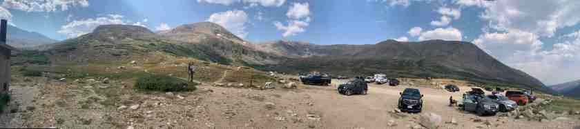
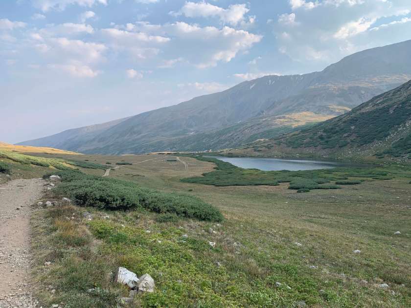
Kite Lake parking/campground area. Mountains to climb are in the background.Kite Lake from the start of the trail up to the Democrat/Cameron saddle.
I arrived at Kite Lake at 3:00PM on Sunday, Aug 16 after a very bumpy ride on a gravel road (the last mile is not recommended if you do not have 4WD and decent clearance). Kite Lake is at about 12,000 feet.
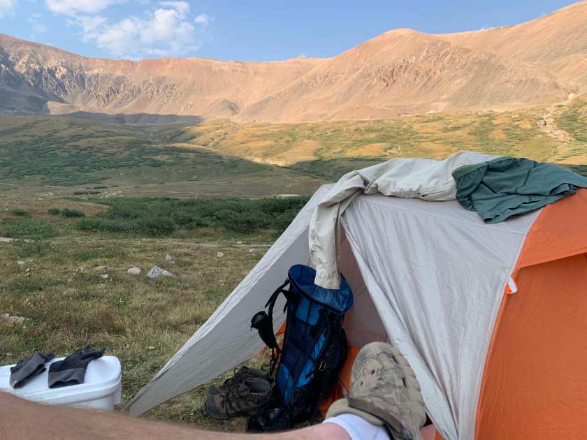
My home at Kite Lake.
Mt Democrat
I did the climbs a bit differently than most folks. After setting up my tent, I decided to do a little acclimatization hike and ended up climbing Mt Democrat. I had planned to just go to the saddle between Democrat and Cameron but the weather was so nice I decided just to go to the summit.
Mt Democrat from near the start of the trail.
This was a 2,100 foot, 4 mile round trip hike. Not tough normally but I was starting at 12,000 feet so it was all about the oxygen, or lack thereof.
View from the trail up Democrat. That is Mt Cameron in the distance, my first peak tomorrow.
It took me 1:45 to get to the peak and I had the whole mountain to myself. I only saw two other hikers (while I was coming down).
At the summit of Mt. Democrat. You can see the Democrat/Cameron saddle and Mt Cameron behind me.
It took me about 1:15 to get back to camp (about 6:30). I read until it started to get dark (and cold) and then hit the sack.
View from my tent. That bump over my tent is Mt Cameron – first peak tomorrow.
Mt Cameron
I was up at 5:00 AM the next morning, making coffee and getting my pack ready for the day. I could see two or three headlamps in the dark heading up the mountain. This was not an option for me as my headlamp batteries died in the night.
Heading for Mt Cameron!
It was a chilly (low 40’s with frost on the ground) but clear morning as I started out. The weather held all morning, clear with just a little breeze. It took me about an hour to reach the saddle between Democrat and Cameron. About the same as yesterday but I was breathing much easier today.
Mt Democrat from the saddle. I’m going the other way.
I ran into my first group of hikers at the saddle. But, because I did Democrat yesterday, I leave the “crowd” and heat east up Cameron.
View of Mt Democrat from partway up Cameron. That is the shadow of Mt Cameron on the right.
The traverse across the ridge was not bad, it only got steep again near the summit. It took me about an hour to get from the saddle to the peak of Cameron, arriving just before 8:00 AM.
Summit of Mt Cameron. That is Mt Lincoln over my left shoulder, my next goal.
Mt Lincoln
The traverse across to Mt Lincoln was short, only taking about 20 minutes.
Summit of Mt Lincoln. Another hiker was nice enough to snap this (and lend me the sign)
I ran into a couple other hikers on the summit of Lincoln. A couple of guys from Pennsylvania and a young man from Ft Collins.
Stunning view from the summit of Mt Lincoln. This is looking north.
Mt Bross
From Lincoln you retrace your steps back to the saddle between Cameron and Lincoln, where you take a left (south) heading toward Mt Bross.
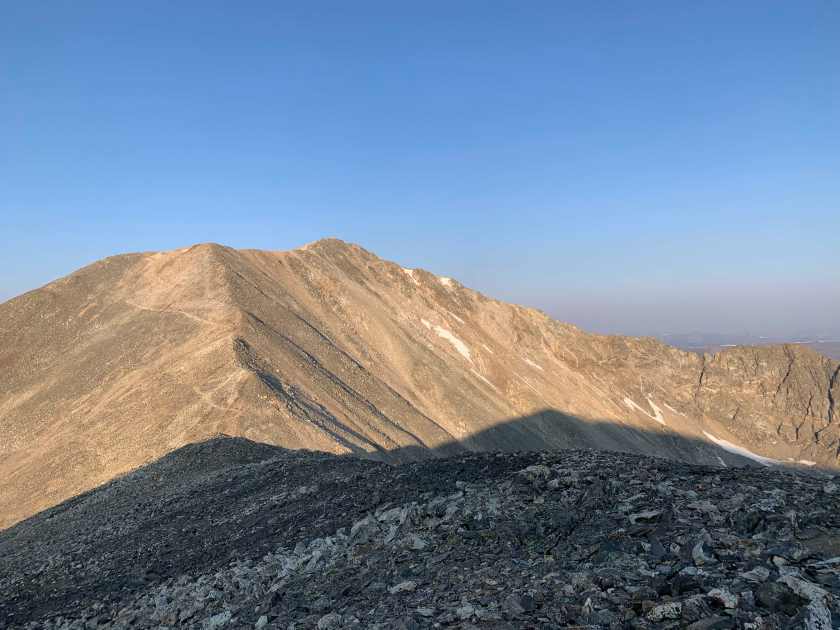
Returning from Lincoln. You can see the trail from Mt Cameron (upper trail) and the trail to Mt Bross (lower and to the left).
Another pretty easy (though longer) traverse had me at the summit of Bross at 9:15 AM. On the way I saw a couple of signs warning that the trail to Bross was closed.
Uh oh.
But, like all good hikers, I basically did what everyone else was doing and ignored the sign. The issue is that the top of Bross is privately owned (I think by a mining company). Though I saw no sign of any ownership outside of a couple of signs.
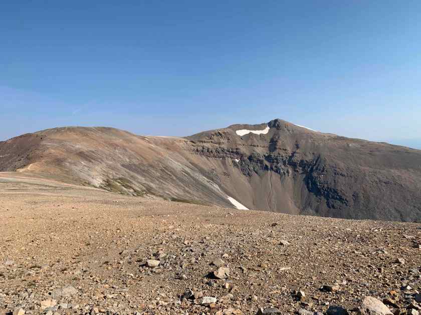
Nice view looking back at Mt Lincoln from the trail to Mt Bross.
The final climb up to Bross (on the “closed” trail) was steep but not too long. I caught up with my Lincoln hiker buddies on Mt Bross (they were all hiking faster than me).
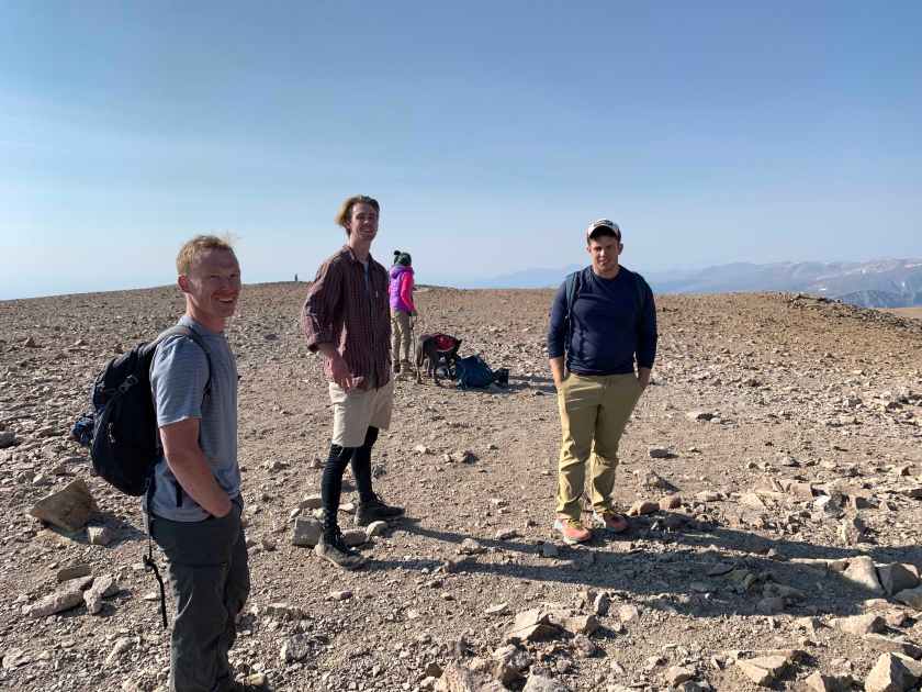
Hiker buddies on the summit of Mt Bross.
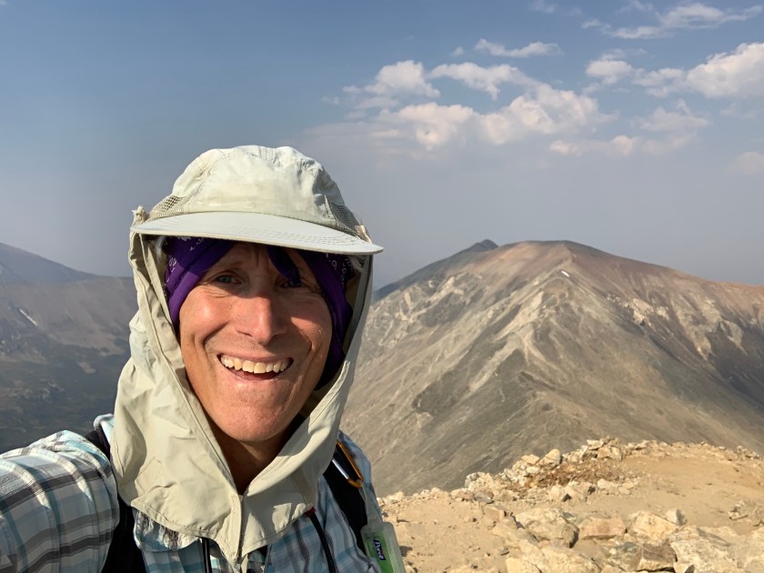
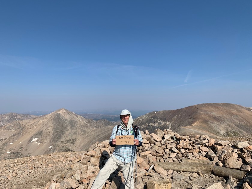
Summit of Mt Bross. That is Mt Democrat behind me to my right and Mt Cameron to my left.
The descent down the south side of Mt Bross was not much fun. Steep, rocky with lots of loose gravel. I slipped several times and ended on my butt once. If I had to do it over I would return back over Cameron and the Cameron/Democrat saddle (the way I came up).
I was back at my tent by 10:15, so 4:15 to do roughly 6 miles and three peaks. It was a very good day.
A cold one back at camp. Mt Democrat over my tent.
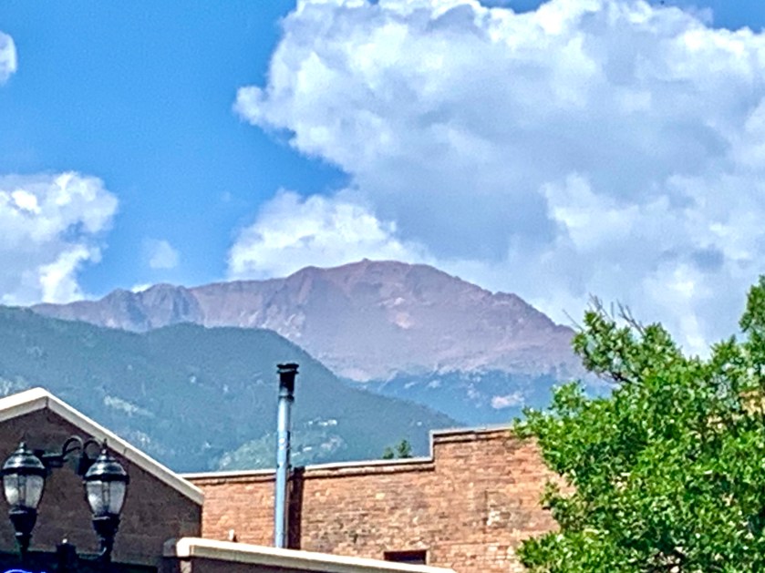
Pikes Peak from near our AirBnB. That’s where I’m headed.
The Plan
I decided to hike the only 14er close to Colorado Springs, Pikes Peak at 14,180 feet. The start of the Barr Trail is only 5 miles from our AirBnB. But, unlike most 14er hikes, which usually start above 10,000 feet, the Barr Trail starts in Manitou Springs at 6,800 feet. This makes for a 7,400 foot climb. Most people do it one very long day. The trail is 12 miles long but with the detour at the top (they are rebuilding the welcome center) it is now 13 miles. You can turn around and head back down after summiting, which makes for a very long (14 hours or so) day. But you can also schedule a shuttle ride (private cars are not allowed to the top of Pikes Peak) back to the bottom – nice!
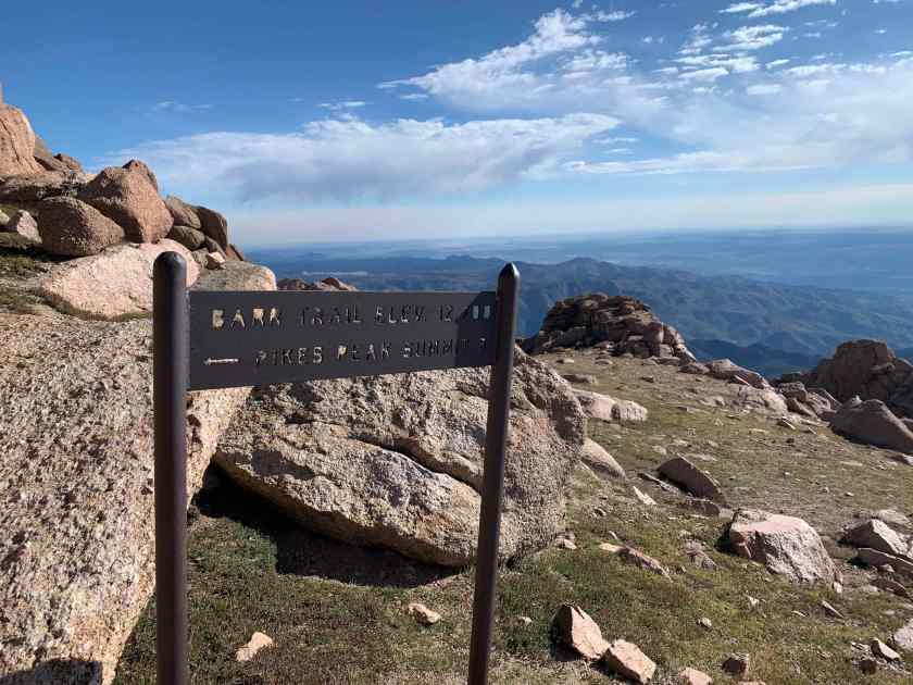
The Barr Trail
I decided to do it in two days, stopping at Barr Camp, 10,200 feet and about halfway and then going for the peak the following morning. This allowed for more hiking in the cool morning and more time to acclimatize. I also scheduled a shuttle with Rocky Mountain Rides for 1:00 PM. My knees were grateful.
Day 1, August 10
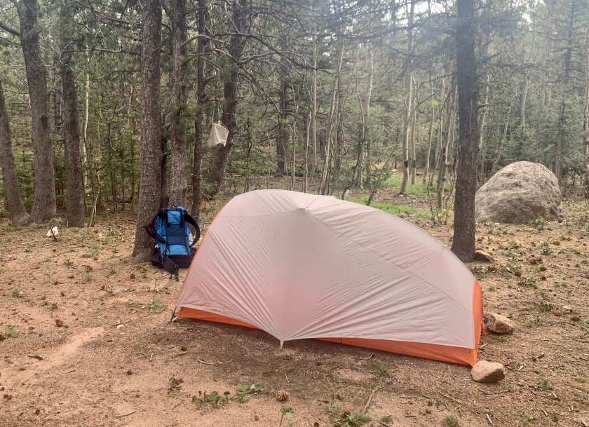
Bert dropped me off and I started hiking at 6:25 AM.
Near the start of the trail in the early morning
I made really good time and felt good. The morning was cool and the trail was not too steep. I was passed by a couple of people running up the trail (yes people do run this trail) and I saw a few other hikers.
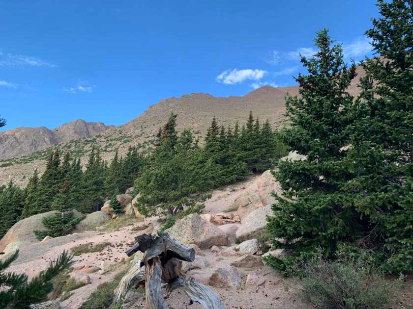
My first view of the mountain from the trail. About mile 2.Where I’m headed. From mile 5.
I arrived at Barr Camp at 9:30. This was about an hour earlier than I had planned. Camp Barr is a lovely spot, nestled in pines. It has composting toilets, a bear box and lots of tenting spots. They also have some cabins but these are closed because of Covid. There is no potable water but there is a stream that runs through the camp. And they serve breakfast.
Lovely Barr Camp at 10,200′ and about mile 6.
With the extra time I decided, after checking in with the camp manager, setting up my tent and filtering water, to take an acclimatization hike up another 1,000 feet or so.
Home for the night.
Around noon, at about mile 7, I ran into a family from Nebraska. A very tired looking, overweight guy and three teenagers (all in t-shirts and shorts). They had started at “around 4:30” so had been hiking for about 7 hours.
He said this was “our first hike”. After finding out they did not have any rain gear I suggested they abort. On my way down I ran into them again and they were headed up. I told the father “you know it can snow up here, even in August.”I also explained that they were only halfway effort-wise (probably less actually) and that even at their current pace (highly unlikely as they moved higher) they would not get to the top before 6 or 7 PM. When I left them they were still headed up.
Near camp on the way down took a side trail the camp manager told me about. Walked 1/2 mile to a great lookout spot and had lunch.
Lunch spot on day 1.
I was back at camp by 1:00 cleaning up and it started to sprinkle. Rained off and on for an hour or so (thinking about that Nebraska family!).
Day 2, August 11
I passed on the Barr Camp famous pancake breakfast both because my stomach was a little iffy (probably altitude) and also because I wanted to get an early start (they serve at 7:00 AM). I left camp headed for the top at 6:30.
Day 2 was a lot tougher than yesterday. I was definitely moving slower but my stomach felt better as the morning wore on. I passed one hiker, a young lady with a dog, at about mile 8. And that was it until the top. I literally had the entire mountain to myself almost all morning.
View of the top from Mile 9 (about 3 miles and 2,000 feet from the top)
I left the trees just past mile 9 and 12,000 feet. I lost the trail for a while but found it again after a very steep bushwack (and thanks to my Gaia navigation app!).
View to the north at mile 10, 12,700 feet.
The combination of the altitude and the steepness made for pretty slow going (I average about 1.5 mph on this day). But the views were stunning, it was a gorgeous, sunny day and, thanks to my early start, I had plenty of time.
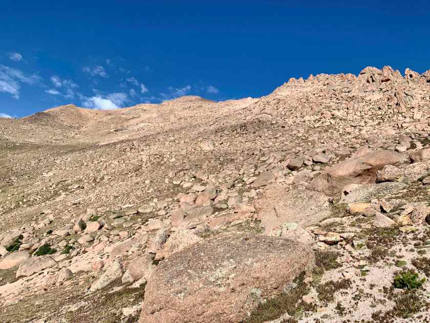
View from the trail looking up, about mile 11, 13,300 feet.The trail around mile 11.
I stopped just after 10:00 with about a mile to go for a rest and a snack.
Rest stop view. About a mile (and 1,000 feet) to go.
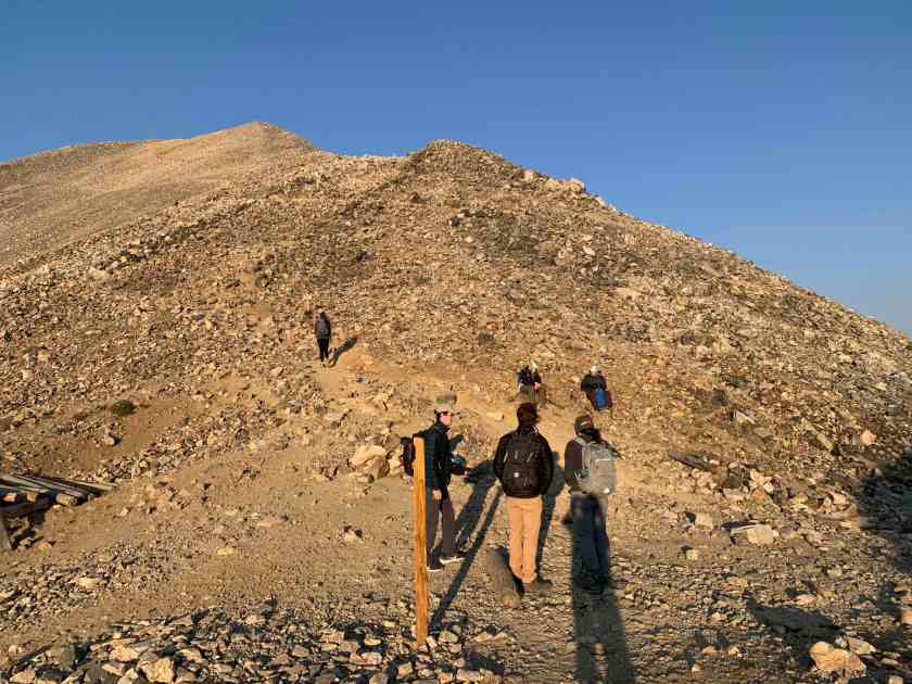
The last challenge before the top is a set of 16 steep, short, rocky switchbacks called the 16 Golden Stairs. They are about 400 feet below the summit.
Just in case you didn’t notice, there is a sign.
Near the top I passed a couple coming down who suggested I try to talk a construction worker into letting me through the construction zone rather than doing the 1 mile detour.Another couple (who started at 4:15AM from the bottom) caught up with me about 200’ from the top and suggested we summit together (strength in numbers I guess).
My summit companions took this about 100′ from the top.
We managed to hail a construction worker on the other side of the fence. He was very nice but …. no go … so after topping out (at 10:40 or so) we all started the 1.0 mile detour down 250 feet and back up on the paved road – not fun!
View from the paved-road hiking detour.
And, after spending nearly the entire morning not seeing another person, the top was a complete zoo. Construction workers and machines and a relentless parade of white shuttle vans dropping off (inappropriately dressed) tourists. The top was disappointing, with construction blocking most of the good views.
A disappointing climax to a great hike.
Our shuttle (four hikers) arrived on time and we had a nice, 1 hour ride back to the Manitou Springs trailhead. During the wait for the shuttle we had some rain and snow flurries and it was kind of fun to watch the people in flip-flops, shorts and t-shirts hop out of the van and realize they weren’t in Kansas anymore.
After a week of doing short hikes near our AirBnB in the Red Rock Canyon Open Space (a couple miles south of the Garden of the Gods) acclimating to the 6200′ elevation of Colorado Springs I did my first “big” hike to the top of Cheyenne Mountain. Cheyenne Mountain is the big mountain just to the south of Colorado Springs. It is the home of Norad and, until 2018, you could not (legally) climb to the top. In 2018 the Cheyenne Mountain Park trail system was extended to allow access to the peak.
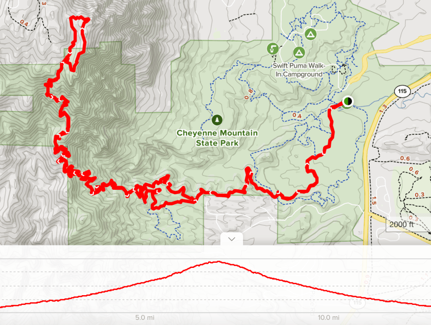
Map and altitude profile
According to the park trail maps this is a ~16.5 mile round trip hike with a 3200′ altitude gain. The high point of 9,300′ is a rocky promontory on the east face of the mountain called Robbers Roost. It’s where I ate my lunch.
I got to the park after a short 20 minute drive and was on the trail by 6:30. An early start is important as it is hitting 90 degrees in the afternoon now and afternoon thunderstorms are almost a given. I started the trail with 3 liters of water and was glad for each drop.
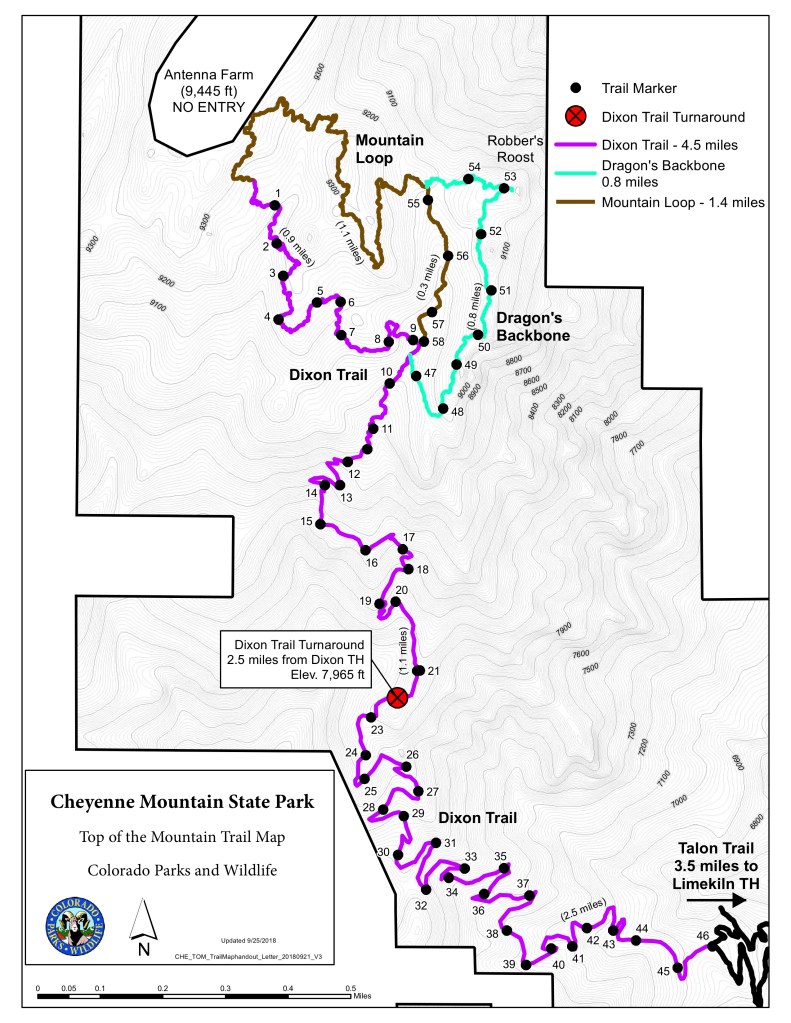
From the parking lot ($9 day fee) the Talon trail winds south and then west for 3.5 miles climbing slightly. The real ascent begins with the Dixon trail heading first west to catch the south rib of the mountain and then north to the top. After 2.5 miles on the Dixon (6 miles into the hike) I reached the “No Horses/No Bikes” sign indicating things were about to get real.
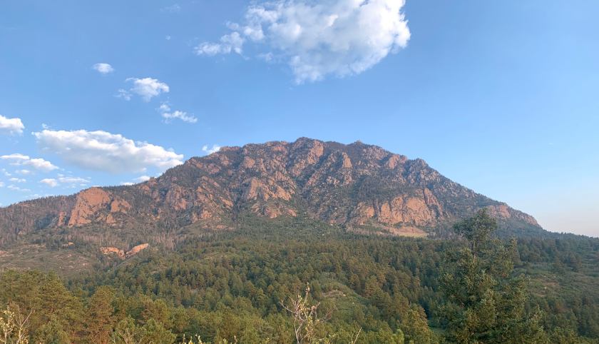
“Difficult to extreme”. Uh Oh.View of the mountain from the start of the Dixon Trail
For the next mile or so the trail is steep and rocky. Near the top are the remains of an old plane wreck (from the year after I was born!)
Sign
Wreckage still there
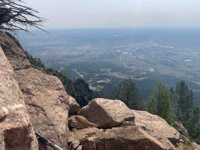
I split from the Dixon to take the Dragons Backbone trail. This “trail” (it really is an extended rock scramble) runs along the eastern top of the mountain and has all the great views of Colorado Springs (see map).
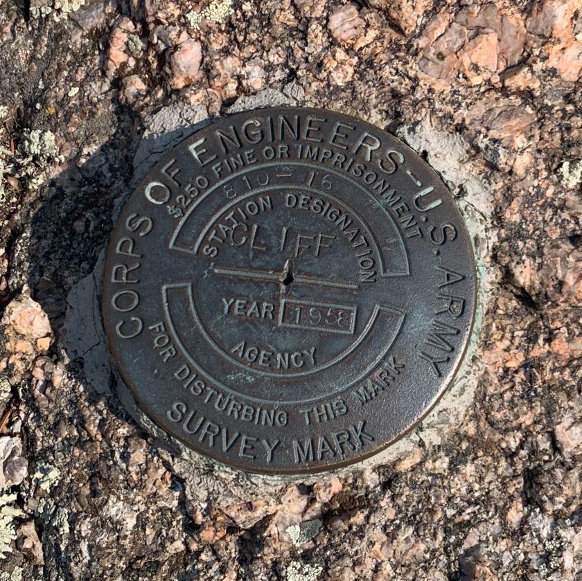
Survey marker I found at a high point on the BackboneOne of my first views from the Dragon’s Backbone
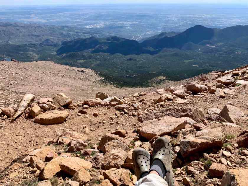
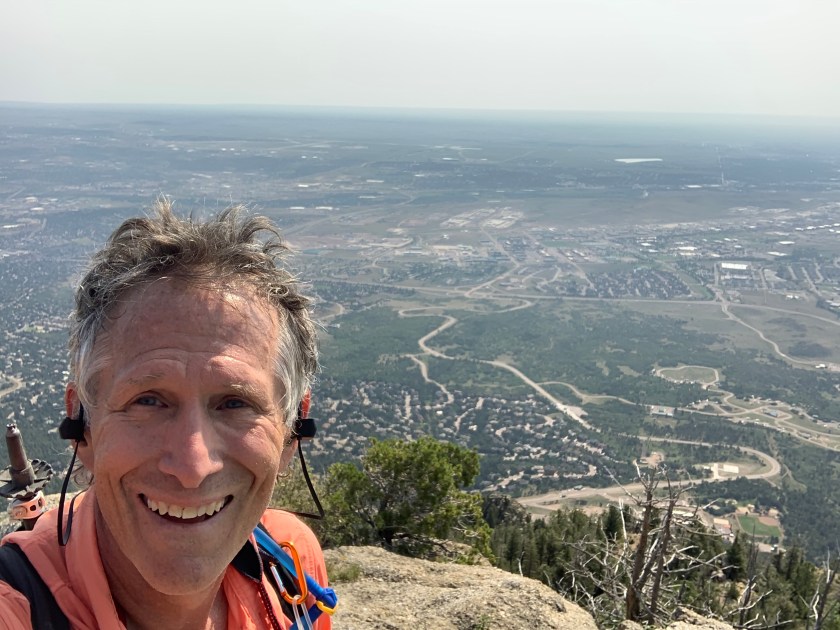
At the northern end of the Backbone is Robbers Roost, a rocky promontory that requires a 20′ scramble up a cleft in the rock face to reach the top. This is the highest point on the trail and where I had my lunch.
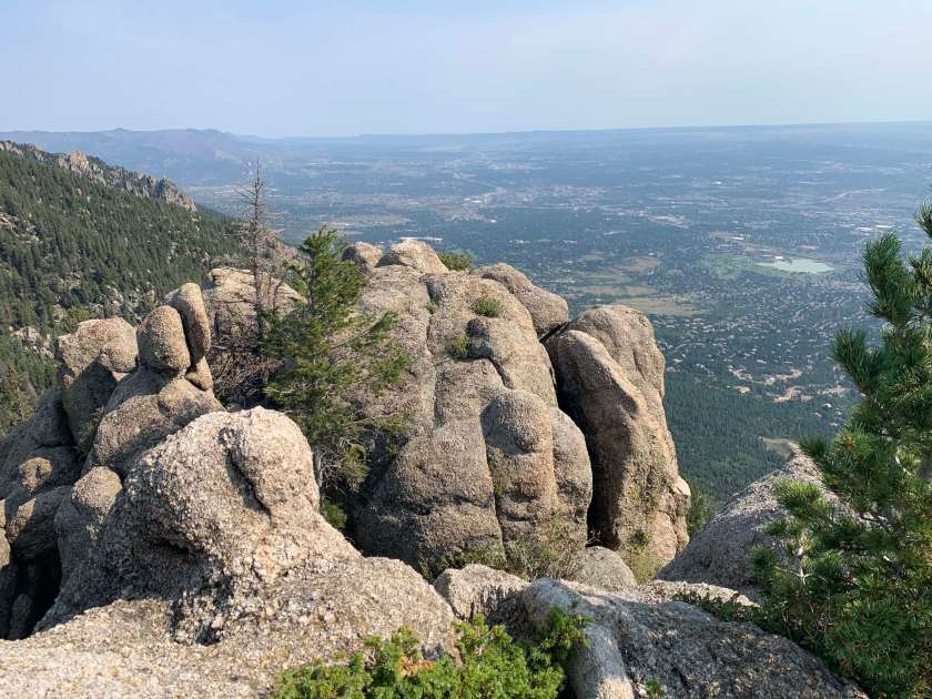
View from Robbers Roost looking northView looking southMe and almost due east behind me.
I left the top about 10:45 and headed down. I ran into my first hiker of the day about halfway down. I was back at the trail head (completely out of water) by 1:00 PM beating the afternoon thunderstorms (with hail) by a good 2 hours! I wondered about those folks who were at least two hours behind me.
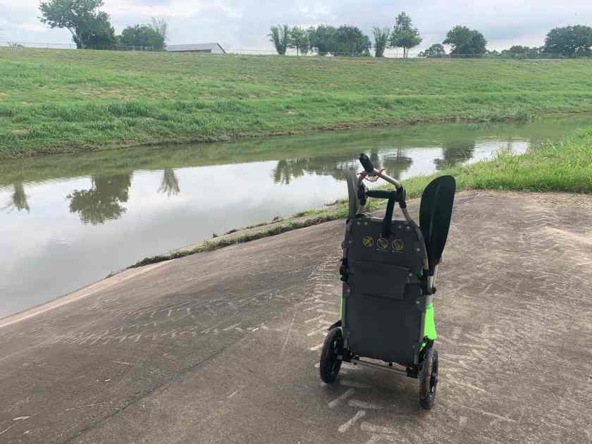
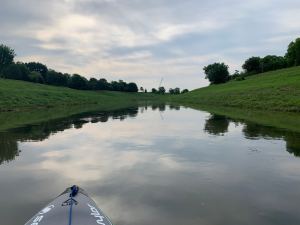
Sims Bayou is a combination of a natural and channelized bayou. The bottom of the bayou is made up of interlocking concrete blocks, and is flat, unlike the other channelized bayous that have a central deep channel. And this made it tough to kayak because, even with recent rains, it was very shallow, especially west of MLK Boulevard. My kayak only needs about a foot or two of depth but there were several sections where I was scraping the bottom.
Sims Bayou at Scott. It looks deep!Downtown view on the hike down to Sims BayouWalked through Sunnyside
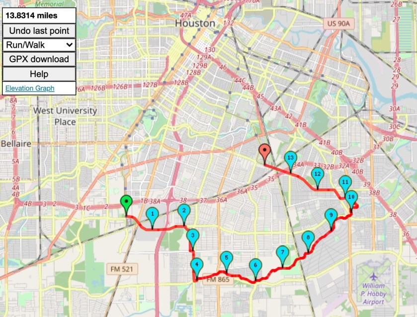
I took the Metro Red Line south to the end of the line and started hiking toward Sims Bayou at Scott where I put in and started paddling. There was very little flow and it was very shallow.
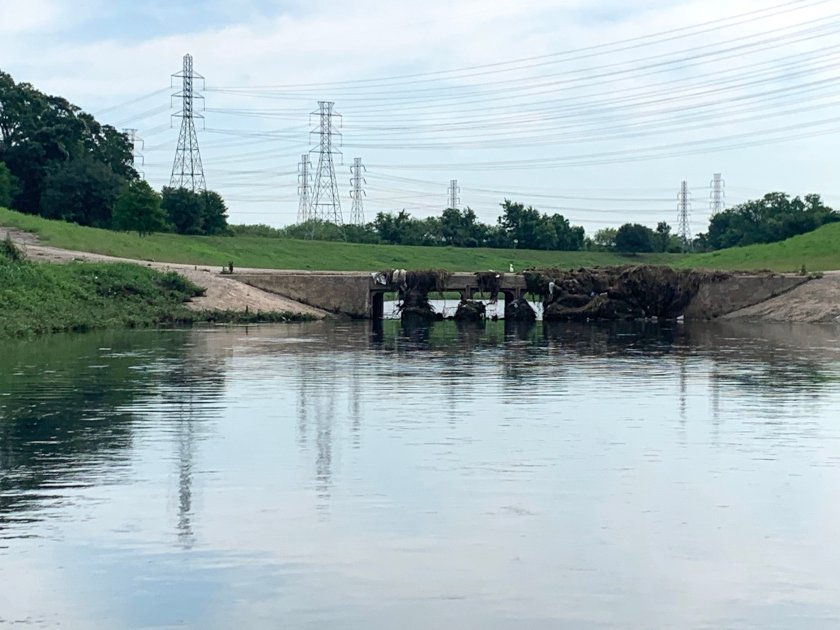
Views from the Bayou
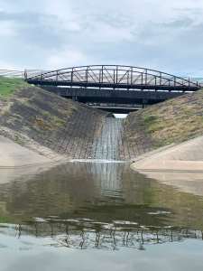
I had to portage around one very low bridge a mile or so east of Cullen.
Oops! Not going through that.Dragging around the bridge.
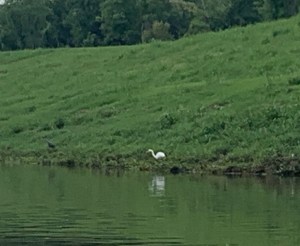
Saw the usual wildlife, turtles, birds and lots and lots of big fish.
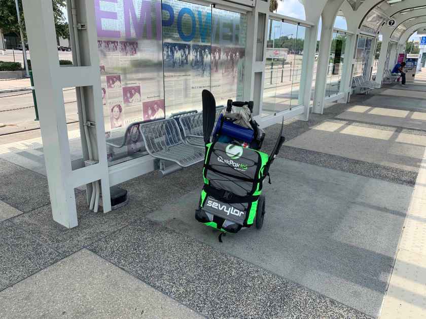
After kayaking a bit over six miles, paddling the whole way since there was almost no current, I pulled out at Reveille Park in Southeast Houston. From there I hike to the southern end of the Metro Purple line for the ride home.
Pullout spot in Reveille ParkWaiting for the train.