PT 60.0 to PT 113.1 and Heflin

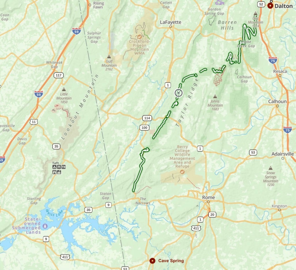
Day 6, Mar 7, PT 75.8

Nancy got me back to the trail about 6:15 and I started hiking. The first 7 miles were a lot of climbing but the trail is in great shape.

Back on the trail!

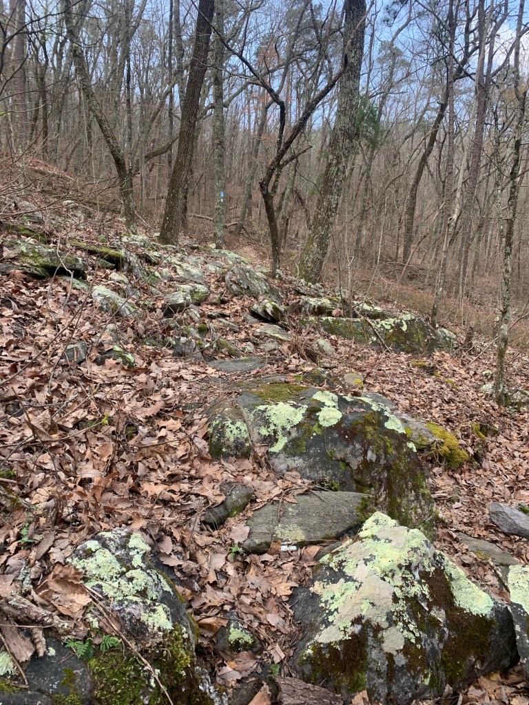
That all stopped when I I hit the “rock garden” at about mile 7 1/2. At that point, and pretty much for the rest of the day, the trail was very rocky, turning into a rock scramble in places.

The Rock Gardern

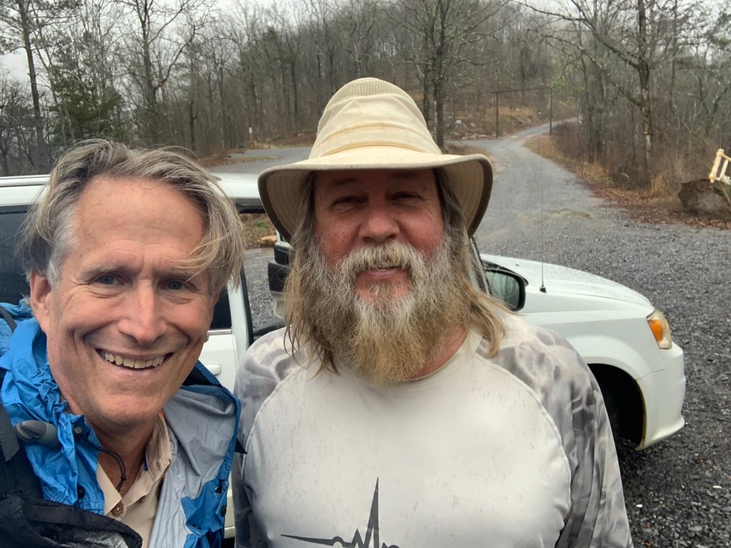
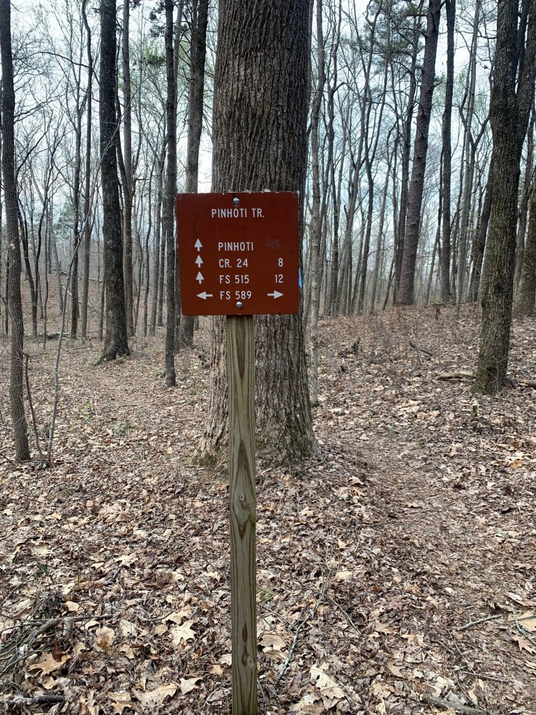
I ran into another hiker headed south (I am going north). “Butter” and I talked for 15 minutes or so and he warned me the trail is rough in the Cheaha Wilderness (where I am heading). He is doing a section of the Pinhoti Trail and planned to stay at the Next Step Hostel tonight. told him to tell Nancy and Jeff hello for me.

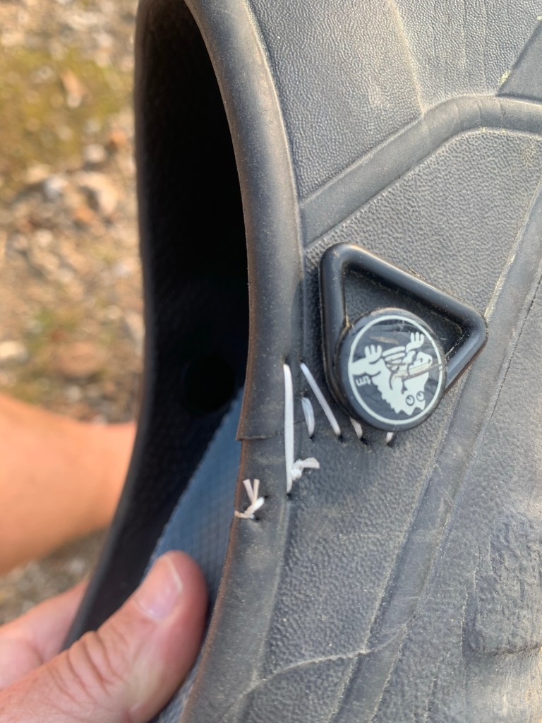
Unfortunately, the 8 miles after I met Butter were pretty bad trail, very rocky and tough hiking. Especially in crocs. I blew out my left croc heel strap, which is not a big deal since I’ve done that before and know how to do a temporary repair, but it wouldn’t have happened if the trail had been in better shape.

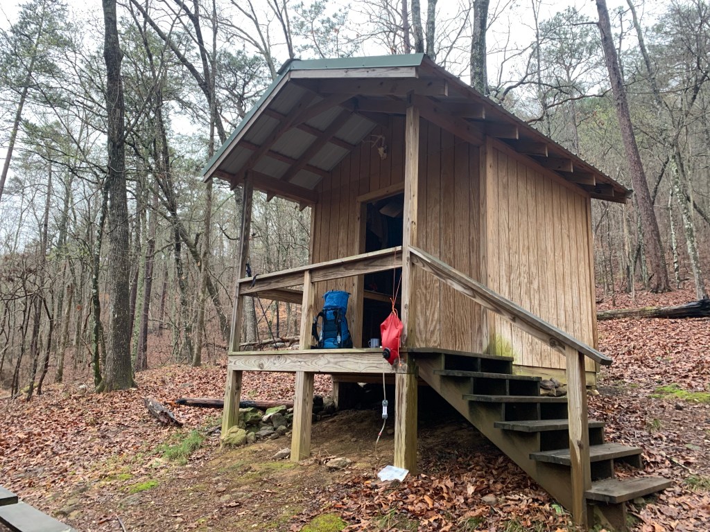
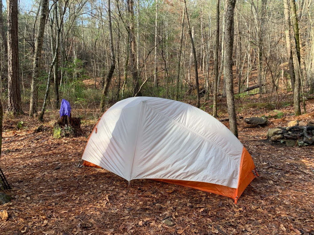
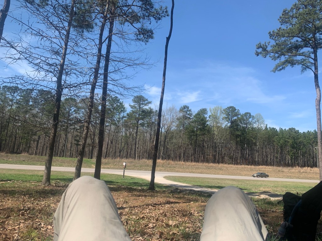
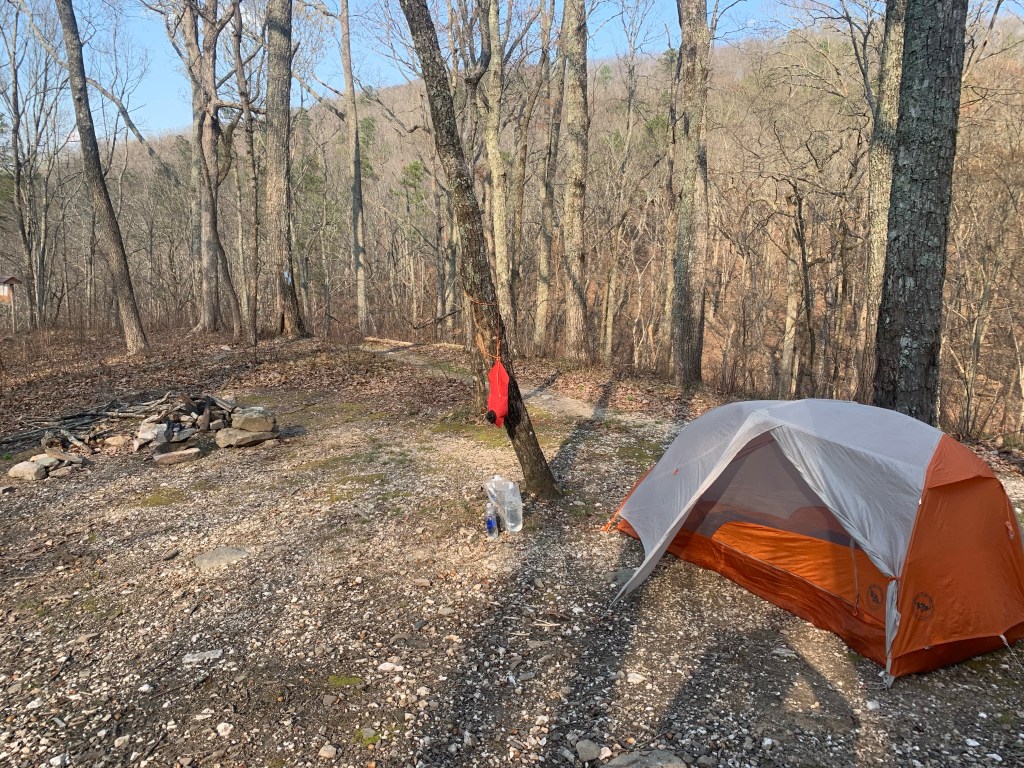
I camped at a small campsite near the Skyway trail head with a little stream about a 10th of a mile down a side trail. I am averaging about 15 miles a day which, considering the trail, is pretty good.

Anther lovely camp site on the PT

The overnight stop in Talladega was a good idea. The rest did me good, I didn’t have any stomach problems today and my leg legs felt great. I think as long as I keep it at 15 miles or so I can do this thing.

Day 7, Mar 8, PT 92.0

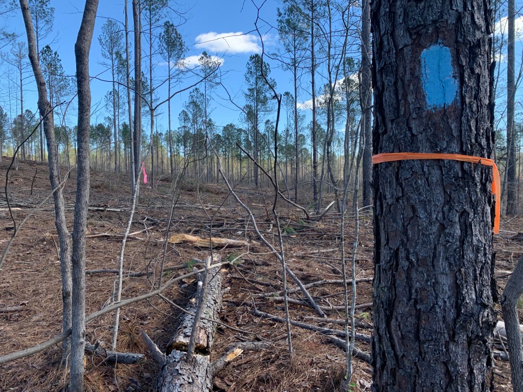
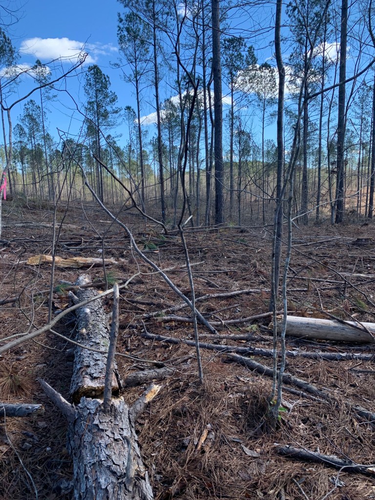
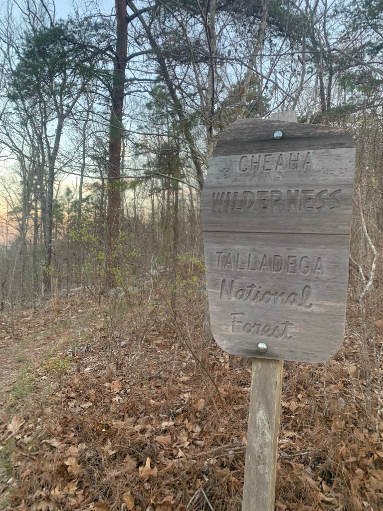
Just when I thought I knew what the PT could throw at me, I have a day like this. A very hard day. I didn’t think it was possible for the trail to get any rougher but it was definitely harder today. I entered the Cheaha Wilderness and the nice blazes and packed earth trail disappeared.

Entering the wilderiness

There were long stretches of rock scrambled where my pace dropped to a crawl and I lost the trail several times.

More rocky trail…. Thanks PT!
Tough trail but lots of great views in the Cheaha Wilderness

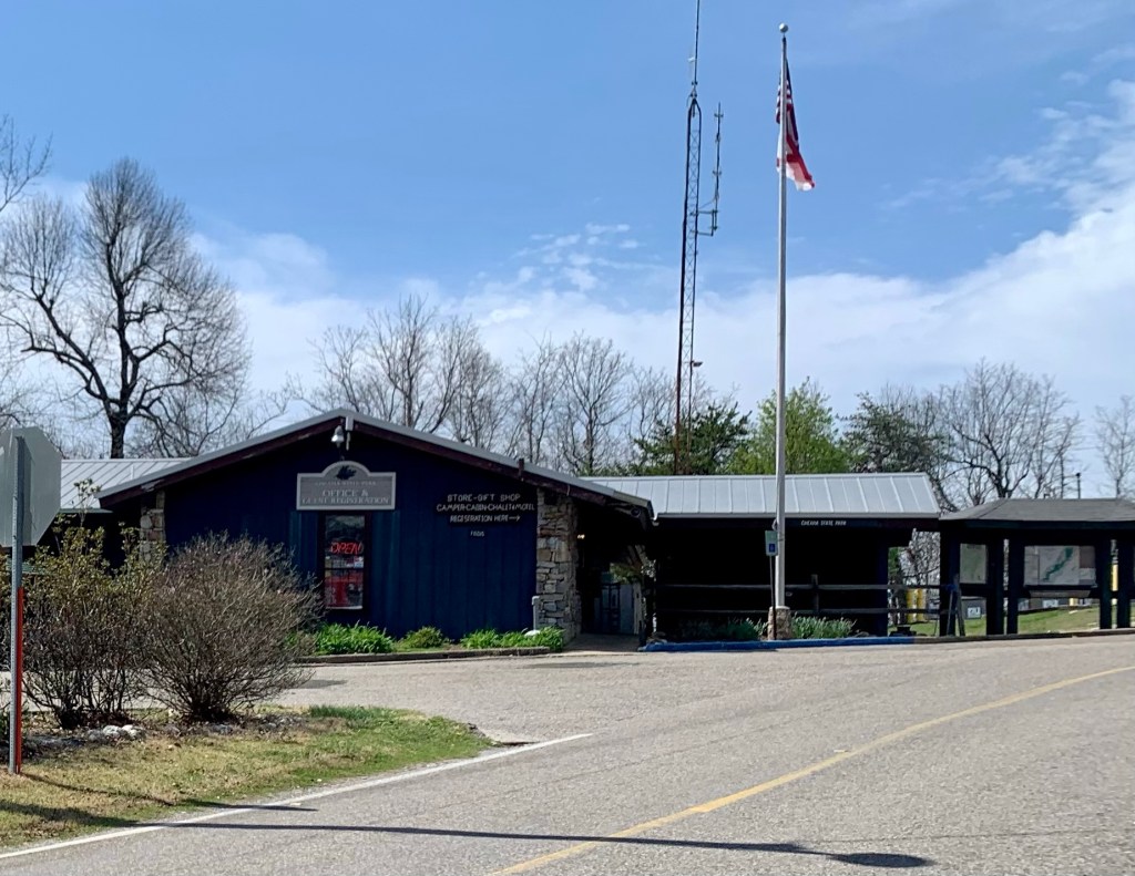
I decided to stop at the Cheaha State Park store for lunch. I arrived at 12:30 which means it took me 6 1/2 hours to do the 11 miles from my camp last night. Stopping there for lunch was a good idea. The store was limited, but they had sandwiches, which was a nice change from my tortilla salmon rolls.

Cheaha State Park

But now that I am out of the Wilderness the trail improves substantially. Still very rocky but the rock scrambles seem to be done.

Day 8, Mar 9, PT 106.4

Much easier day as the trail was actually very nice, packed earth and not a lot of rocks. Of course there were the usual steep climbs but they are short. I had a phone call with Roberta at my first break at about 5 miles. She said martini night went well, and she sounded upbeat.

Nicer trail today!

And today was a big milestone, mile 100!

100 Miles!!!!

I stopped for lunch early at 10:30, 9.3 miles, because it was a really pretty waterfall and it seemed like a nice place to have lunch.

A pretty lunch spot.

Turns out I was right because after about 15 minutes, the rain started and it has rained all afternoon, slowly building to thunderstorms. I hit a campsite near a stream about 2:00 and put up my tent in a small lull in the rain.

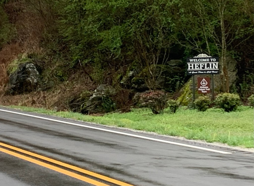
Day 9, Mar 10, PT 113.1 and Heflin

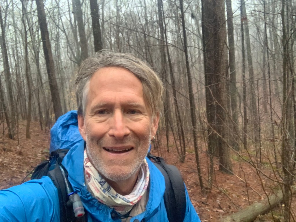
It rained most of the night and was still raining this morning. I got as ready as I could and then during a slight lull in the rain, I made my move. My tent is completely soaked. I made good time even in the rain which never let up and was at the highway overpass around 9 o’clock.

Hiking in the rain.

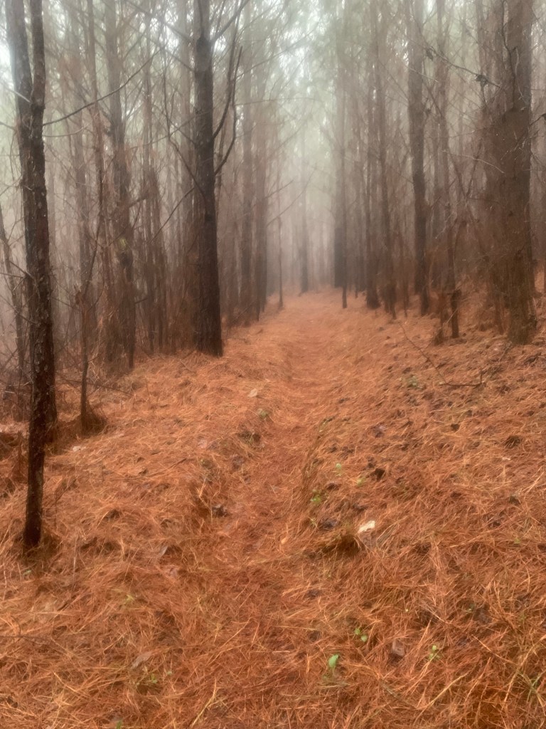
The trail was in pretty good shape.

Trail in the mist

I tried calling Heflin City Hall but cell coverage is very iffy, and I was unable to talk to anyone. so as the rain was finally stopping and no luck hitching (I tried for about 30 minutes) I started walking the three miles into town.

Heflin!

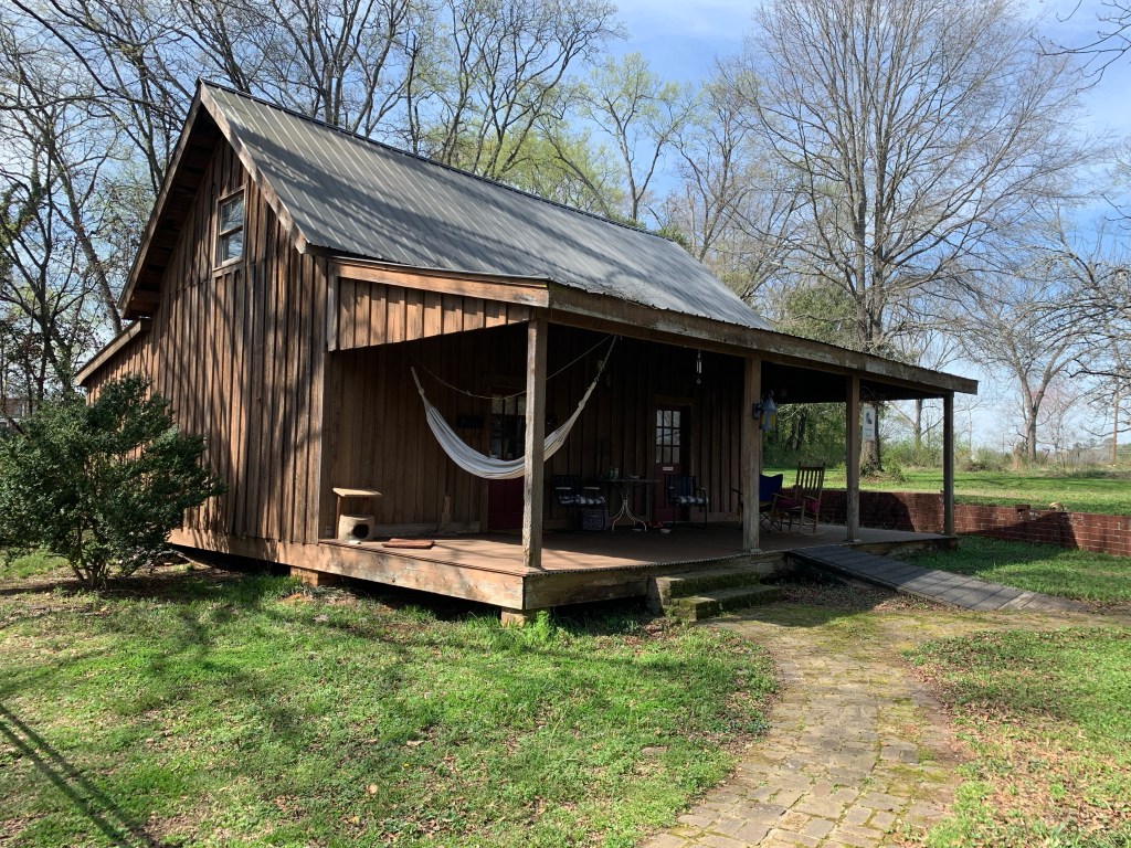
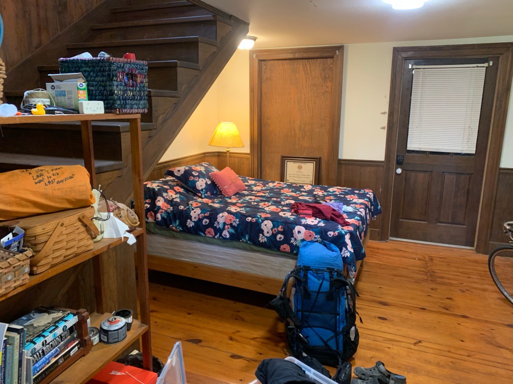
I got to the hotel about 10:30 and they had a room ready so I was able to check in immediately. I spent the next two hours cleaning up my tent and drying out my sleeping bag. Doing the usual town stuff.

Days 10/11, Mar 11/12, A Double Zero

I called City Hall and left a message for Tammy, the hiker contact. They also gave me her direct line, which I finally called around 4 PM. We had a short conversation, but basically I said, I only needed a ride back to the trail Monday morning. And it’s supposed to rain all day Sunday

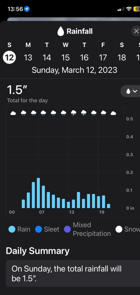
Saturday was beautiful, sunny and cool. Hard to believe it’s going to rain all day tomorrow. I spent the day walking to town (it’s about 2 miles from the hotel at the freeway to downtown Heflin).

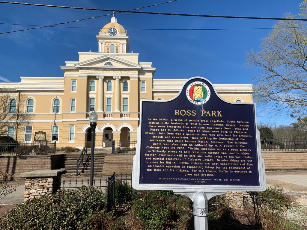
I also spent the day shopping for supplies for my next section. Heflin has multiple grocery stores so I was able to get everything I needed.

And I was even able to find a place that served cocktails! Though, I did have to explain how to make a martini to the bartender.

Celebrating the first 100 miles on the PT.

PT 0 to PT 60, So Much for Plans!

Day 1, Mar 2, PT 2.8

The first sign that there might be problems with my plans appeared as the plane from Houston descended towards the Birmingham airport. As we came out of the clouds the plane suddenly pulled up and we re-gained altitude. The Captain announced that we were gong around because “we could not see the airport when we came ouf of the clouds.”.

After retrieving my pack I texted Pinhoti Outdoor Center (POC) about my shuttle to the trail. Chuck showed up about 11:30 and we headed south. He explained on the way that he had planned it pick up another hiker from the Amtrak station but he was running several hours late. We stopped at the POC hostel where I picked up a fuel canister before heading to the Flagg Mt trailhead. And, for the entire 90 minute ride, it was raining, sometimes hard.

Chuck, my POC shuttle driver.

Chuck dropped me off about a mile from the start of the trail about 2:00PM, recommending I give up my plan to hike 10-12 miles and stay dry a the Weogufka Shelter at about 3 miles. When I got to the shelter, it was still raining hard, and the shelter looked so dry….. so…. So much for plans.

My first home o the PT!

About 2 hours later, just as it was starting to get dark my companion for the night showed up. The other hiker that Chuck was scheduled to pick up had finally arrived, “Cruise Control” was from Philadelphia and was nice enough to tell me that I only “snored a little” the next morning. Cruise, young, fit and fast, left just before me and I never saw him again.

Day 2, Mar 3, PT 17.3

I got my first real taste of the PT and it was a wake up call. After a five miles or so I started a 7 mile road walk.

We ain’t in Kansas any more Toto.

Even though the trail is never much over 2,000’ there are lots of steep climbs and they do not seem to have heard about switchbacks here in Alabama. On the plus side, the rain has finally stopped.

The trail is quite well maintained at the start.

By 11:00 I was completely done in – stopping on the climbs which I never do. I decide to stop early at “Kim’s Camp” around 2:30. A nice spot, next to a small stream with a fire ring,

My home for the second night
Day 3, Mar 4, PT 32.5

The sun rises about 6:00 AM and I am hiking by 6:30. My legs are really stiff so I have decided to go short today to give myself a day of recovery. I am on roads for most of the first 10 miles today and I used my pepper spray for the first time. Two big dogs came out into the middle of the road and were very aggressive. All the other dogs just barked and stopped when I yelled but not these two. I finally gave the lead dog a quick blast and that stopped him. Glad I brought it.

Walking roads….

I am now about 10 miles behind my plan so I have decided to just chunk the plan and keep my days under 18 miles this first section to get my trail legs. And I had my first taste of bad trail today. Leaving the road and entering what my guide calls “new trail”, I hit a bulldozed mess. The blue trail blazes were separated by large tracts of muddy dozer tracks. I lost the trail several times and ended up crashing through brambles that tore up my arm.

But I had another lovely campsite, a bit off the trail but flat and right next to a small stream so lots of water and I could even clean up a little. Unfortunately, tomorrow looks a little problematic. The last water of the day is at about 10 1/2 miles And the first campsite after that is another 5 miles up so I’m going to have to hump 4 L of water to camp.

Day 4, Mar 5, PT 48.3

Beautiful day for hiking. Got an early start at 6:15. And I saw my first other person on the trail this morning. Passing a dry campsite after few miles from my camp I passed someone asleep. He didn’t look like a hiker. He didn’t have a tent, pack or a sleeping bag, just a blanket, and what appeared to be a bag of charcoal. Tough place to be homeless.

Once I did the morning climb, I basically was up on the ridge most of the morning until I hit Bulls Gap.

Nice views from the ridge

The POC had a public water cash at Bull’s Gap which was very nice since this is pretty much the last water for the next 14 or 15 miles. I took 3 1/2 L and started climbing toward today’s camp,

Public water cache, thank POC!

There were no fixed campsites after the climb so I just a found a relatively flat spot and pitched my tent.

After some thought I have decided to change my plans even more. I have five more days to get to Heflin and I don’t think my battery and phone will last. I have cell coverage up at camp so I called Next Step Hostel in Talladega. They do shuttles to and from the trail, have a bunkhouse, showers and laundry. I arranged a pickup for tomorrow.

Day 5, Mar 6, PT 60.0

Earliest start yet – on the trail right at 6:00 AM – I am excited about a town day! I texted Jeff (Next Step Hostel) at about 5 miles in, right before I started coming off the ridge – good thing too – that was the last place I had cell coverage today.

Heading to Porter’s Gap and Talladega

More nice views for the first five miles or so before I started the long drop to Porter’s Gap.

Passed a pretty waterfall on Dry Creek, which, is, well, not dry.

Pretty waterfall

I got to Porter’s Gap and hung out for a while waiting for Nancy and my ride to Talladega. Looking forward to a cold drink on a hot day (it hit 80 today).

Waiting for Godot… or Nancy.
Talladega and Next Step Hostel

The NS Hostel is sweet setup for hikers – bunkhouse with nine beds, lawn to pitch a tent, fridge, microwave, showers (outside), and washer/drier. They they supply everything and do not charge anything. I asked Nancy about this and she said it was their way of “giving back to the hiking community.”

I had a lovely stay and I was the only hiker so I had the place to myself. Definitely a good call making this stop and recharging all my electronics.

Trail Plan (Updated)

Getting to the Trail

The southern terminus of the PT is about 60 miles southeast of Birmingham in the Weogufka State Forest. I plan to fly into Birmingham the morning of March 2 and get a shuttle from the fine folks at the Pinhoti Outdoor Center directly to the trail. I want to get the first 10 miles or so of trail done that afternoon.

Section 1 (Flagg Mt to Heflin, 6.5 Days, 113 Miles, 16,200 Feet)

The trail starts in a state forest near Flagg Mountain and wanders northeast passing over Hernandez Peak in the Talladega Mountains, the high point of the Alabama portion of the PT at 2,334′. There is a four mile stretch of paved road on the first afternoon and another seven miles on the second day but it is all trail or dirt roads after that to Heflin.

Section 1: Flagg Mountain (Start) to Heflin (PT 113). Gaps are road walks.

After the road walk the trail enters the Talladega National Forest (about PT 30) where it will stay for the next 120 miles or so.

In this section all of the days are under 3,000 feet and my longest planned day is a 19 miler to get into Heflin on Day 7. Water is mostly good but there is a potentially 20 mile dry stretch after Shelton Creek (PT 27.1). I plan to take a zero day in Heflin and take stock after my first 100 miles on the trail.

Section 2 (Heflin to Cave Spring, 5 Days, 81 Miles, 11,700 feet):

This will be a shorter section (and my first 20 miler) to get to Cave Spring. There are no paved road walks on this section except for the last couple of miles into Cave Spring (the trail goes through town). My plan is to stay one night here (no zero) and resupply for the next section.

Section 2: Heflin (PT 113) to Cave Spring (PT 190).
Section 3 (Cave Spring to Dalton, 6.5 Days, 105 Miles, 11,200 Ft):

Heading north out of Cave Spring there is a long (~15 mile) stretch of paved roads before the trail returns to the woods.

Section 3: Cave Spring (PT 190) to Dalton (PT 285)

Leaving the paved road s the trail enters a narrow wooded strip (Taylor Ridge) neading northeast. The trail enters Dalton from the west and continues east through town. Dalton is the biggest trail town on my hike and I hope to be able to get a new fuel canister here.

Section 4 (Dalton to Ducktown, 5 Days, 87 Miles, 13,500 Feet):

Leaving Dalton is the longest paved road stretch of the trail, around 25 miles working mostly east to get back to woodlands. I will probably hitch/uber at least part of this. This section ends the Pinhoti Trail where it intersects with the Benton Mackaye Trail at about BMT 72 just south of the Cohutta Wilderness.

Section 4: Dalton (PT 285) to Thunder Rock CG /Ductown (BMT 94)

I will have to get a ride from Thunder Rock Campground to Ducktown (about 8 miles east). This is where I plan to finish my hike in my updated plan.