
Day 1, Mar 2, PT 2.8
The first sign that there might be problems with my plans appeared as the plane from Houston descended towards the Birmingham airport. As we came out of the clouds the plane suddenly pulled up and we re-gained altitude. The Captain announced that we were gong around because “we could not see the airport when we came ouf of the clouds.”.
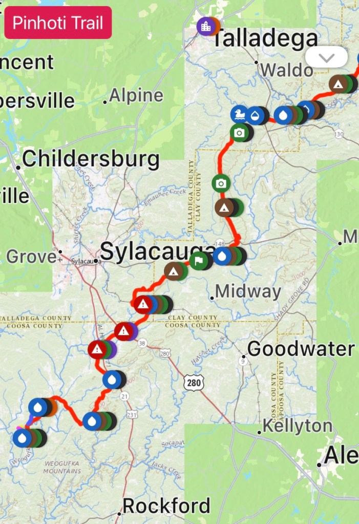
After retrieving my pack I texted Pinhoti Outdoor Center (POC) about my shuttle to the trail. Chuck showed up about 11:30 and we headed south. He explained on the way that he had planned it pick up another hiker from the Amtrak station but he was running several hours late. We stopped at the POC hostel where I picked up a fuel canister before heading to the Flagg Mt trailhead. And, for the entire 90 minute ride, it was raining, sometimes hard.
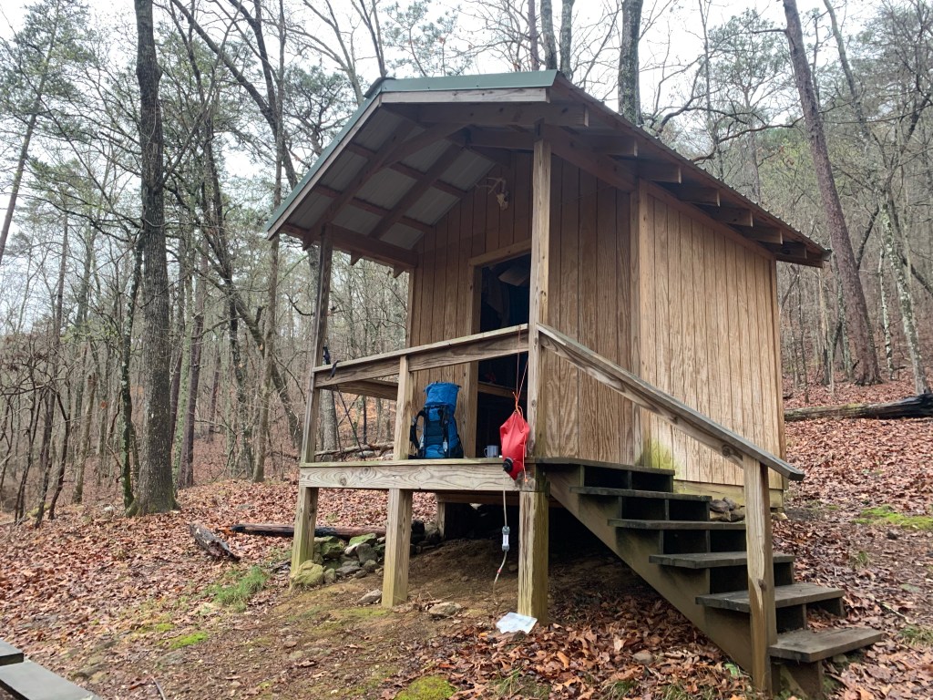
Chuck dropped me off about a mile from the start of the trail about 2:00PM, recommending I give up my plan to hike 10-12 miles and stay dry a the Weogufka Shelter at about 3 miles. When I got to the shelter, it was still raining hard, and the shelter looked so dry….. so…. So much for plans.
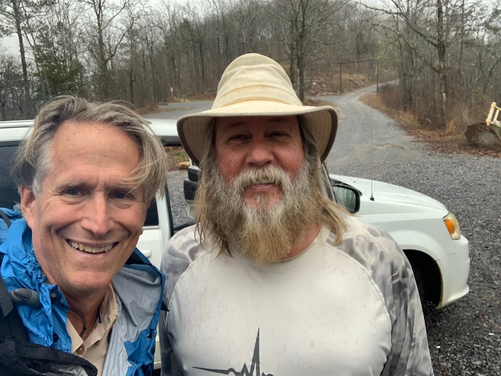
About 2 hours later, just as it was starting to get dark my companion for the night showed up. The other hiker that Chuck was scheduled to pick up had finally arrived, “Cruise Control” was from Philadelphia and was nice enough to tell me that I only “snored a little” the next morning. Cruise, young, fit and fast, left just before me and I never saw him again.
Day 2, Mar 3, PT 17.3
I got my first real taste of the PT and it was a wake up call. After a five miles or so I started a 7 mile road walk.
Even though the trail is never much over 2,000’ there are lots of steep climbs and they do not seem to have heard about switchbacks here in Alabama. On the plus side, the rain has finally stopped.

By 11:00 I was completely done in – stopping on the climbs which I never do. I decide to stop early at “Kim’s Camp” around 2:30. A nice spot, next to a small stream with a fire ring,
Day 3, Mar 4, PT 32.5
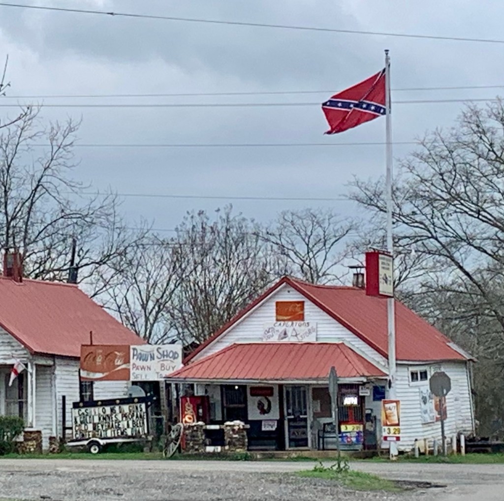
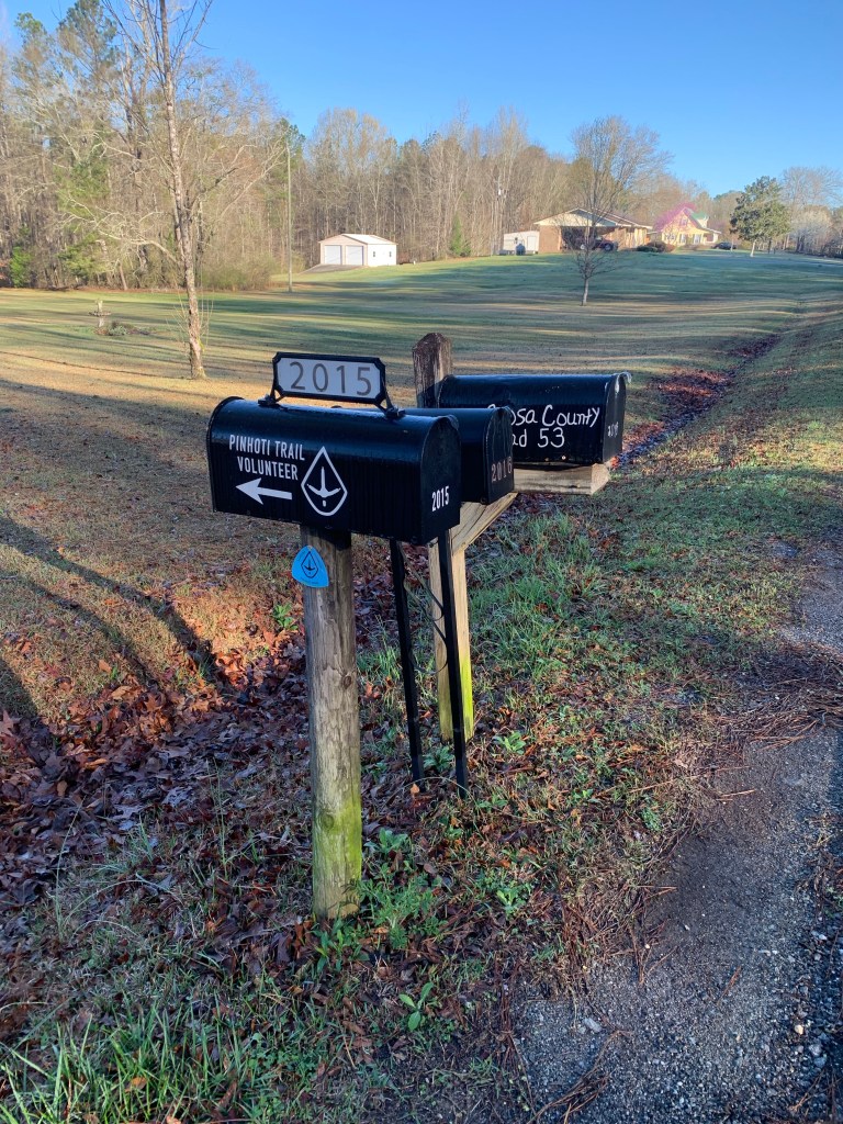
The sun rises about 6:00 AM and I am hiking by 6:30. My legs are really stiff so I have decided to go short today to give myself a day of recovery. I am on roads for most of the first 10 miles today and I used my pepper spray for the first time. Two big dogs came out into the middle of the road and were very aggressive. All the other dogs just barked and stopped when I yelled but not these two. I finally gave the lead dog a quick blast and that stopped him. Glad I brought it.
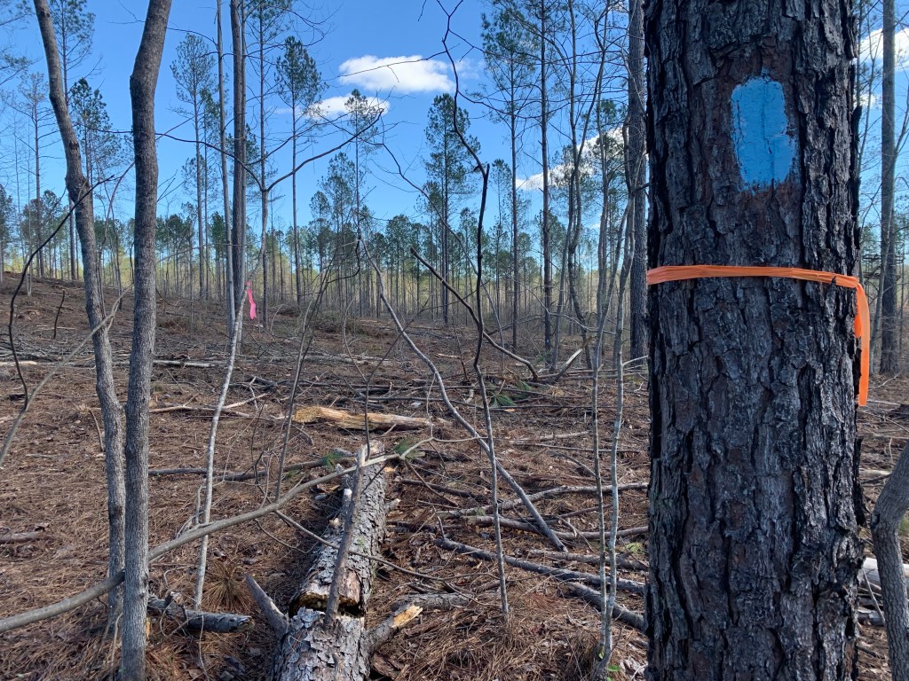
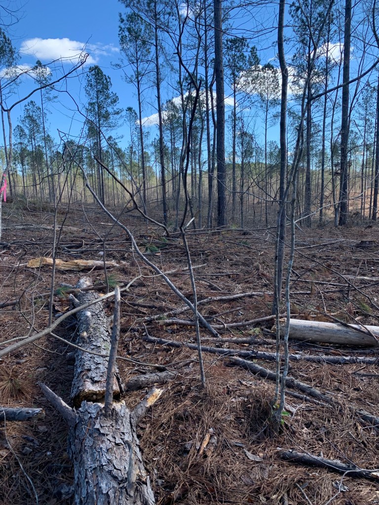
I am now about 10 miles behind my plan so I have decided to just chunk the plan and keep my days under 18 miles this first section to get my trail legs. And I had my first taste of bad trail today. Leaving the road and entering what my guide calls “new trail”, I hit a bulldozed mess. The blue trail blazes were separated by large tracts of muddy dozer tracks. I lost the trail several times and ended up crashing through brambles that tore up my arm.

But I had another lovely campsite, a bit off the trail but flat and right next to a small stream so lots of water and I could even clean up a little. Unfortunately, tomorrow looks a little problematic. The last water of the day is at about 10 1/2 miles And the first campsite after that is another 5 miles up so I’m going to have to hump 4 L of water to camp.
Day 4, Mar 5, PT 48.3
Beautiful day for hiking. Got an early start at 6:15. And I saw my first other person on the trail this morning. Passing a dry campsite after few miles from my camp I passed someone asleep. He didn’t look like a hiker. He didn’t have a tent, pack or a sleeping bag, just a blanket, and what appeared to be a bag of charcoal. Tough place to be homeless.
Once I did the morning climb, I basically was up on the ridge most of the morning until I hit Bulls Gap.

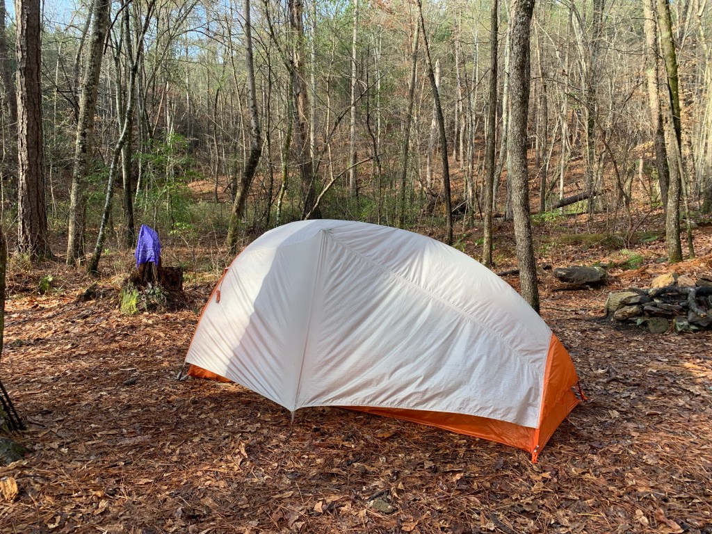
The POC had a public water cash at Bull’s Gap which was very nice since this is pretty much the last water for the next 14 or 15 miles. I took 3 1/2 L and started climbing toward today’s camp,

There were no fixed campsites after the climb so I just a found a relatively flat spot and pitched my tent.

After some thought I have decided to change my plans even more. I have five more days to get to Heflin and I don’t think my battery and phone will last. I have cell coverage up at camp so I called Next Step Hostel in Talladega. They do shuttles to and from the trail, have a bunkhouse, showers and laundry. I arranged a pickup for tomorrow.
Day 5, Mar 6, PT 60.0
Earliest start yet – on the trail right at 6:00 AM – I am excited about a town day! I texted Jeff (Next Step Hostel) at about 5 miles in, right before I started coming off the ridge – good thing too – that was the last place I had cell coverage today.
More nice views for the first five miles or so before I started the long drop to Porter’s Gap.

Passed a pretty waterfall on Dry Creek, which, is, well, not dry.

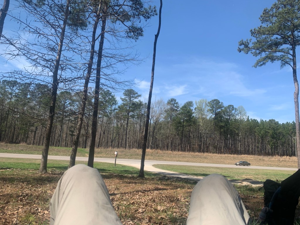
I got to Porter’s Gap and hung out for a while waiting for Nancy and my ride to Talladega. Looking forward to a cold drink on a hot day (it hit 80 today).
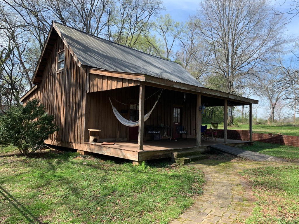
Talladega and Next Step Hostel
The NS Hostel is sweet setup for hikers – bunkhouse with nine beds, lawn to pitch a tent, fridge, microwave, showers (outside), and washer/drier. They they supply everything and do not charge anything. I asked Nancy about this and she said it was their way of “giving back to the hiking community.”

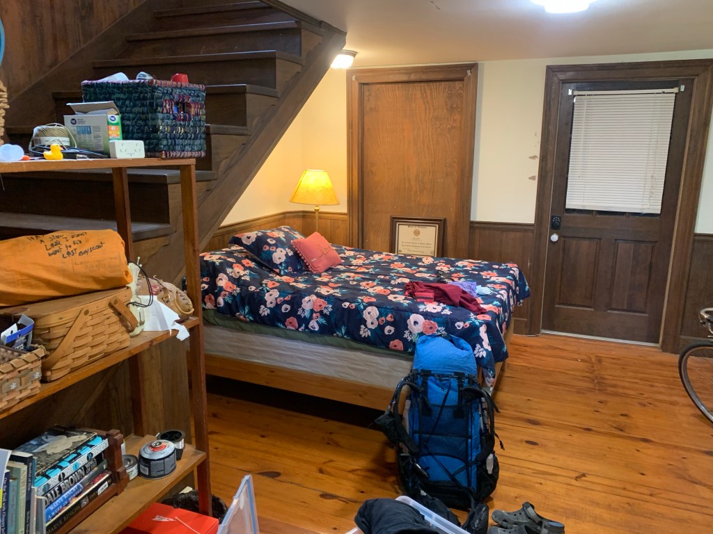
I had a lovely stay and I was the only hiker so I had the place to myself. Definitely a good call making this stop and recharging all my electronics.

Great notes. Some ups and downs. Houston doesn’t have hills so those are tough. Trail legs yet?
LikeLike