

Day 24, Mar 25, PT 328.9
Well, so much for plans. I had a Lyft scheduled to get past the ~20 mile road walk out of Dalton but, as I learned, when you schedule with Uber or Lyft, it really is not scheduled. They just release your request when your time nears and if no driver wants it…no deal. I ended up calling “Tony’s Taxi” and Tony was at my hotel in 10 minutes.
Tony got me to within a couple miles of the trailhead (the road was closed). The good news is that my timing is good – the rain stopped this morning just before I started hiking.


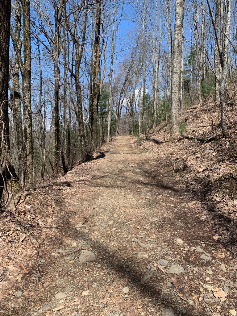
This was my biggest climbing day of the hike, more than 4,000 feet and also a big distance day – about 19.5 miles. The clouds disappeared in the afternoon as it warmed up into the 70’s.
I had planned to stealth camp at a lookout along a major road but when I got there it was just too busy (and noisy) so I continued another 2.5 miles to a small, dry campsite on a ridge.


Day 25, Mar 26, PT 328.9
Had my warmest night so far, I don’t think it got below 55°. It’s kind of nice taking the tent down without having to have my gloves on. Today was a shorter day, as planned. A good thing too, my legs really felt that 4000 foot of climbing yesterday.
And it was practically crowded on the trail today. I met a couple of weekend hikers and 6 or 7 bikers. Well, it is a nice Sunday but I have no idea where the trailhead is where these guys are accessing the trail.
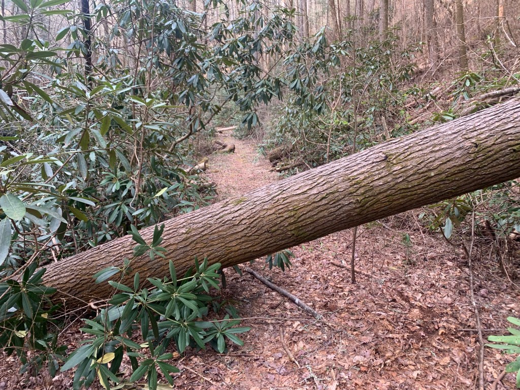
The trail was a little rough today, at one point I could see four different blow-downs ahead.


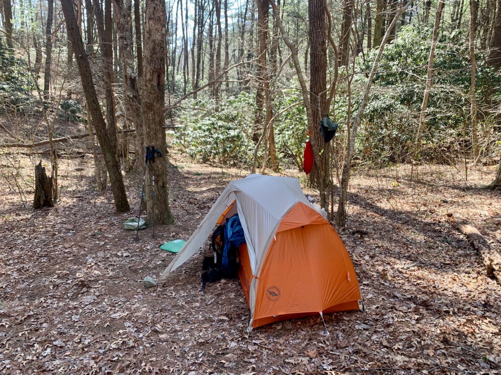
I’m really happy about my campsite. It’s in a little valley between two hills so it’s very protected for the rainstorm that is supposed to come through tonight.
Of course that means no cell coverage and …. I’m only 4.7 miles from the end of the Pinhoti Trail!!!
Day 26, Mar 27, PT 350.2….The End!! And 10 miles on the BMT.
It rained last night as forecast. Started around 10 PM and rained most of the night, but never hard and ot was over by 3 AM. And it is less than 5 miles to the end of the PT.
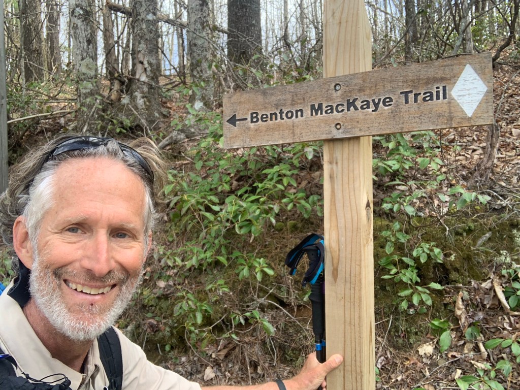
The northern end of the PT is not at a trailhead, but at a junction with the Benton MacKaye Trail (BMT) so it was a bit anticlimactic. There’s nothing there but a small sign. I celebrated with my last Snickers.
But… my hiking is not over. I have to go north 20 plus miles on the BMT to get to a place where I can hitch to Ducktown where my shuttle is scheduled.
The BMT is very similar to the PT, lots of steep climbs and blow-downs.
And… a new trail, a new blaze.
And my third state! I camped at Double Spring Gap (yes, there are two springs) which is on the state line with Tennessee, though there was no sign of any kind.
Day 27, Mar 28, BMT 93.9, Ducktown, Tenn.
The day started with a killer 1,000 foot plus climb up Big Frog Mountain over about 1.5 miles. Steep and hard, glad it was in the early morning, though I did not see any frogs, big or small.

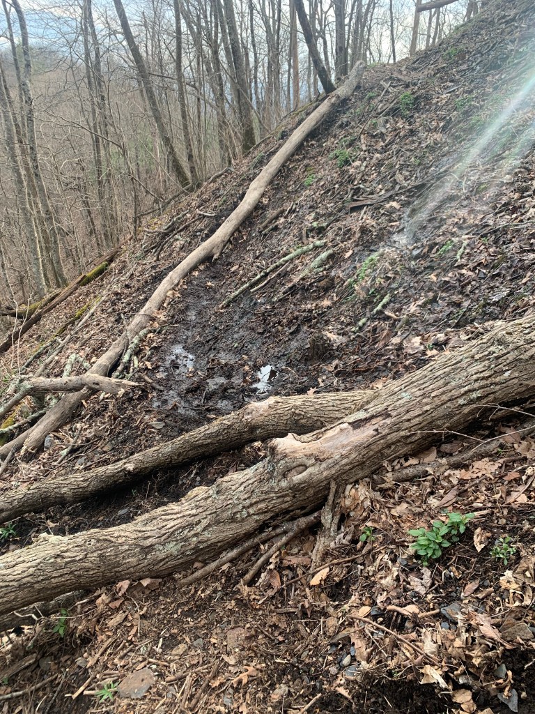
The trail wasn’t too bad on the way down, with the exception of the impenetrable jungle that the BMT became near a creek. I had to take off my pack and crawl under and over fallen trees, dragging my backpack behind me.

Overall I made pretty good time and got to the Thunder Rock CG, on the Ocoee River, at 12:30. Most of the spots are open (it is still early in the seasons, I think the CG only opened last week) but I bumped into one guy who asked if I had hiked very far in the direction I was coming from. “About 350 miles..” He just looked at me.

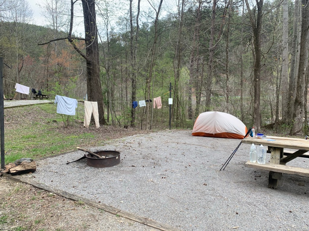
As expected there is no cell coverage here. BUT there are showers and an outlet in the shower/bathroom where I am currently charging my extra battery. The shower felt wonderful, I even managed to find some soap! And I rinsed out my hiking clothes in the sink. Luxury!
Over the course of my two days and 20 odd miles on the BMT I saw nary a soul. And this completes my hiking. Of course, I still have to get the 7 miles or so to Ducktown, Tennessee where I have a shuttle scheduled.
In the afternoon I walked the campground and asked a woman who I had seen hiking earlier if she could give me a ride in the morning. Turns out she is with two other women (in the site next to hers) and I explained my situation (three times). Lisa, the last hiker who I talked to said she could give me a ride tomorrow morning! Yeah! No highway walking!
Days 28, Mar 29, Ducktown
It got cold again! It was in the low 30’s this morning. I am packed up and ready for my ride to town when I saw another thru-hiker walk through camp. “Sunshine” was in shorts, which was impressive. She had done the Florida Trail to the BMT and was continuing up the BMT to start the AT. She has over 2,000 miles to go.

At 9:00 AM I walked down to Lisa’s camp and she was ready for the short drive to Ducktown. I am really glad I did not have to walk the highway this morning.
There is not a lot in Ducktown, a Hardee’s, a small breakfast cafe and a couple of dollar stores. And my motel, the Ocoee River Inn. Not fancy but hot water!

The following morning, Ben with “Walk in the Woods” showed up promptly at 10:00 AM for my shuttle to Knoxville to await my flight home to Houston. But not before having a celebratory martini!


Thank you for sharing your adventures, Jason!
LikeLiked by 1 person