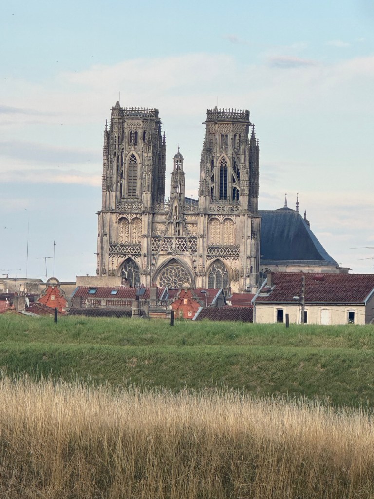
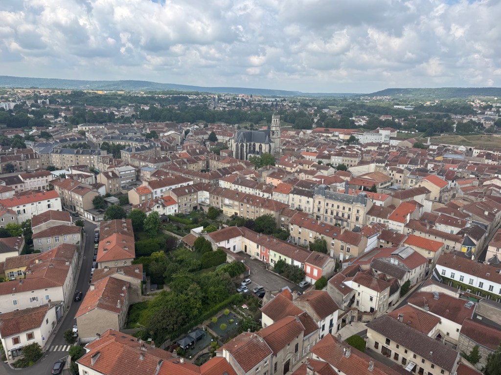
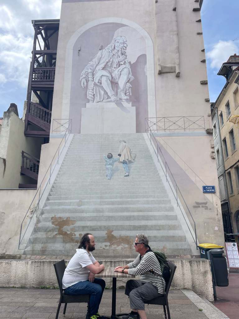
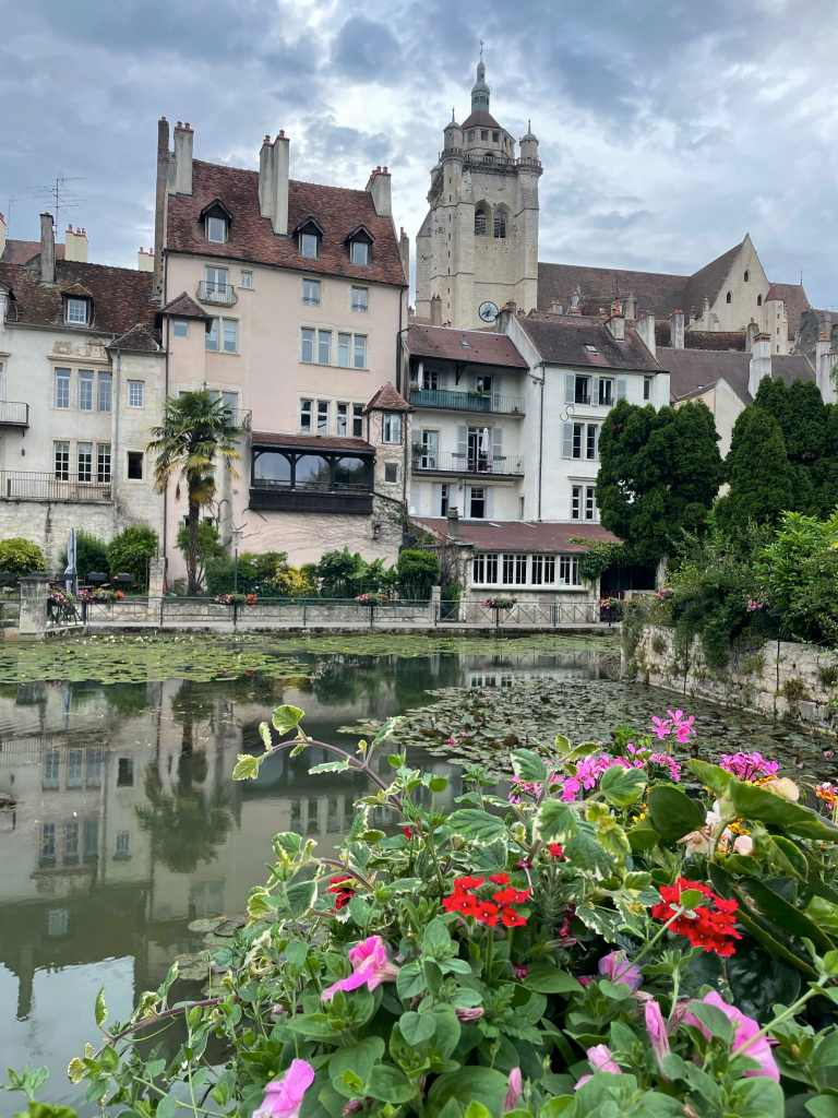
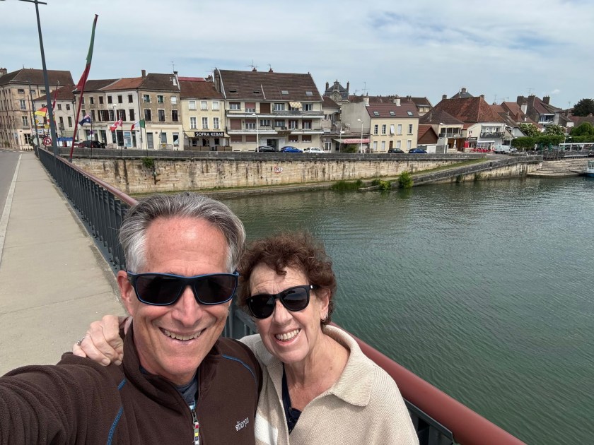
We may have had to turn back east when we reached Toul, but before heading south, we made a detour north to see Metz, which we’d been told was a lovely stop. It didn’t disappoint.
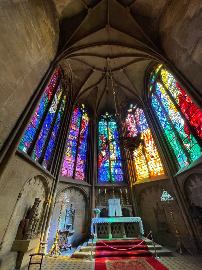
The main cathedral of Saint-Etiennne has stained glass by Marc Chagall and Jacques Villon … and a dragon. (We now think every cathedral should have a dragon.)
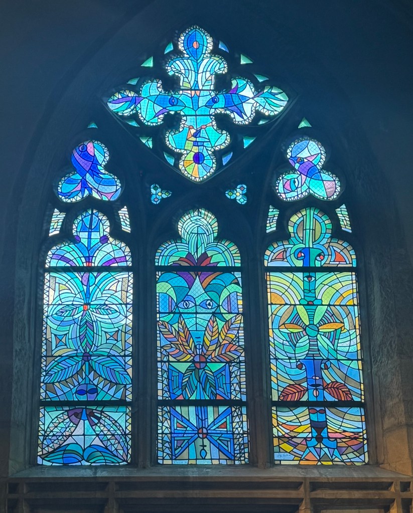
The nearby church of Saint Maximin had even arty-er stained glass by Jean Cocteau. And a lot of blue carpet.
Then there was Porte des Allemands (the Germans’ Gate), a medieval bridge castle with two 13th-century towers and this charming carving of the king at the time, mooning anyone who attempted to storm the city.
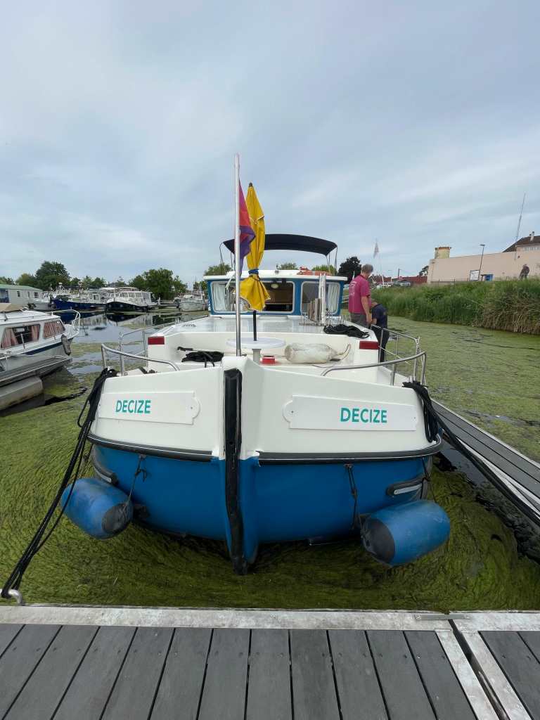
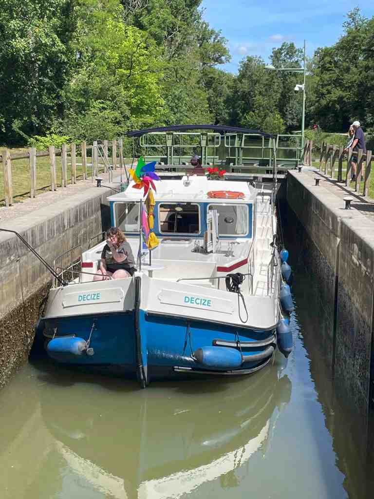
We took an electric boat tour (because of course we did) that went right past Decize. Sadly, the guide failed to point out the grandeur of this fine ship.
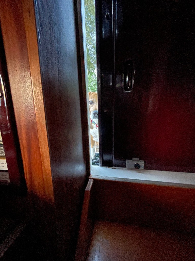
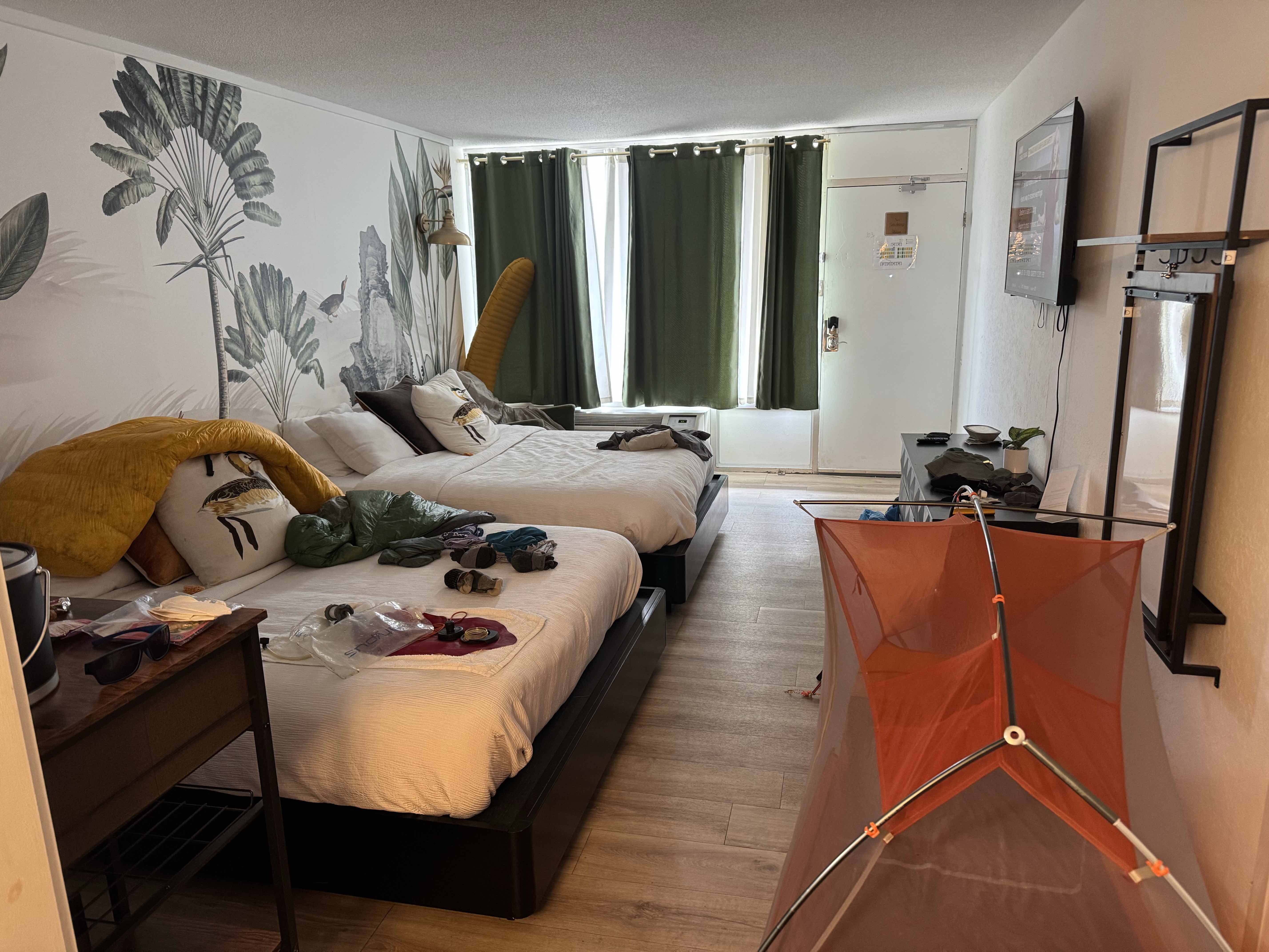
But the highlight of our visit may have been the mayor of Metz, aka Schatzi, stopping by for an inspection. Or, as it turns out, a chunk or two of cheese. I wasn’t supposed to let him in a third time, but take a look closely at that last photo…who could resist that?
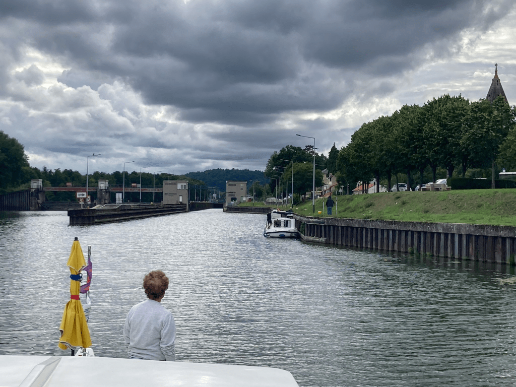
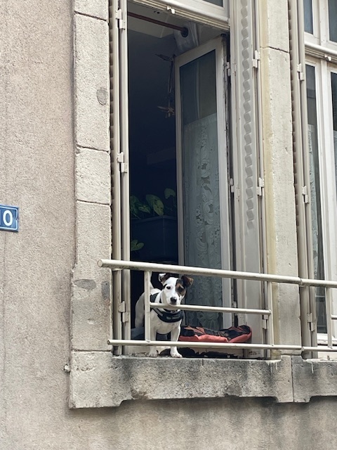
Exiting our last lock of the day on the Moselle near Pompey we noticed a little penichette, also a former Locaboat, waiting to enter. Or so we thought.
We moored in Pompey and went for a walk. We were nearly back to our boat when we were approached by two women with a cute white dog. After a few awkward sentences in French we switched to English and learned that they were from the little penichette, which had gone kaputt (they were German who spoke excellent English).
Decize to the rescue
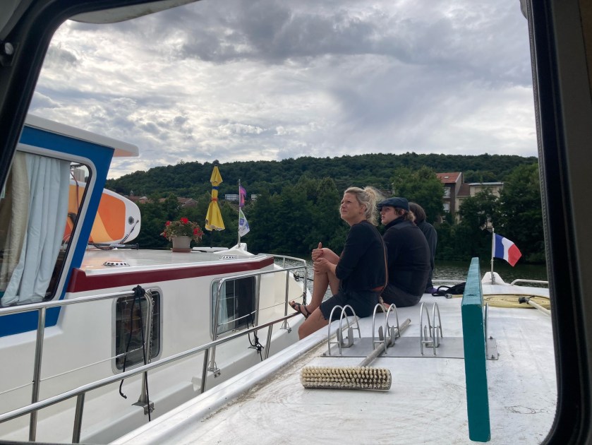
They asked for help towing their boat from the lock to the Pompey dock. We said sure.
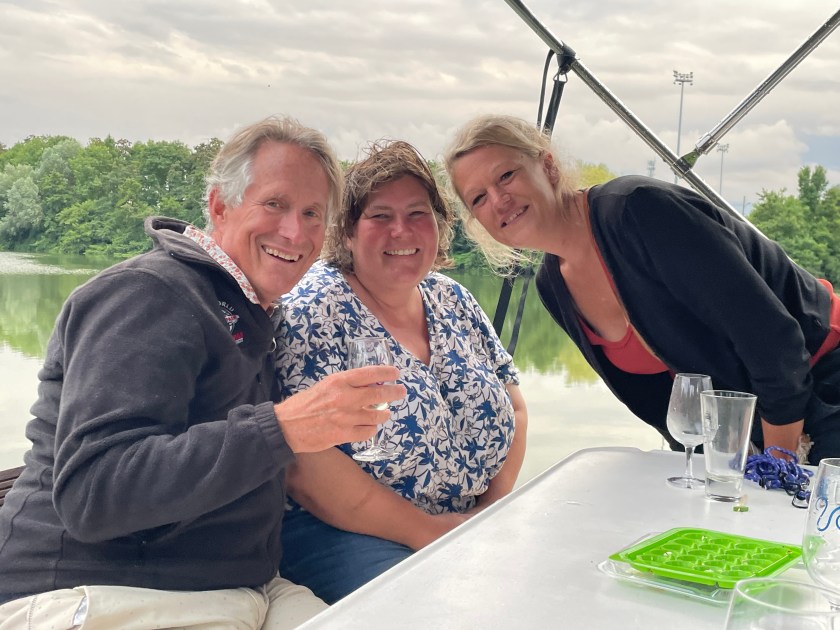
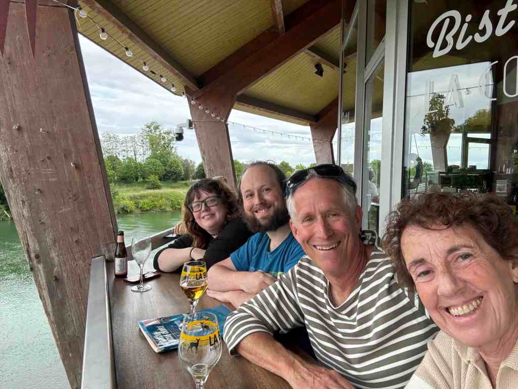
After rescuing Kathrin, her two sons and her friend, Julia we had a little celebration aboard Decize. We were soon joined by Kathrin’s husband Markus, who had seen us from a bus on the bridge as went to fetch a car. The conversation was a mix of English, German, French and even a few words of Spanish.
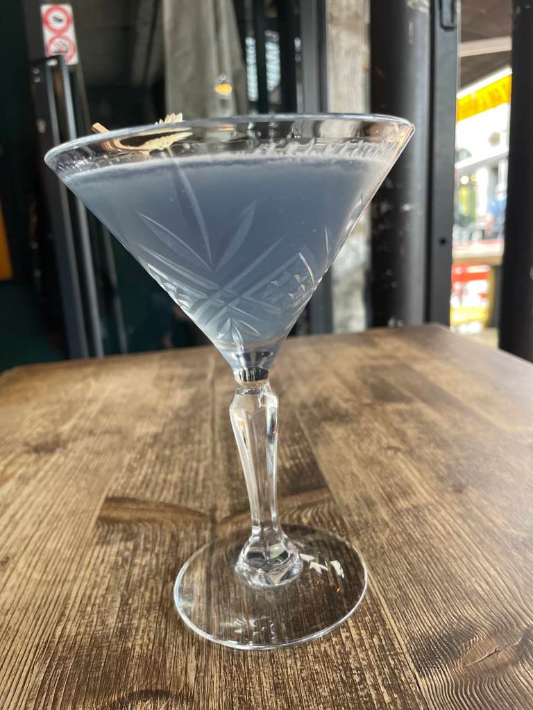
Four gin and tonics, two voda tonics, an Old Fashioned and (Kathrin’s first) martini later we had made some new friends.
… even a former professional headline writer could not resist that pun.
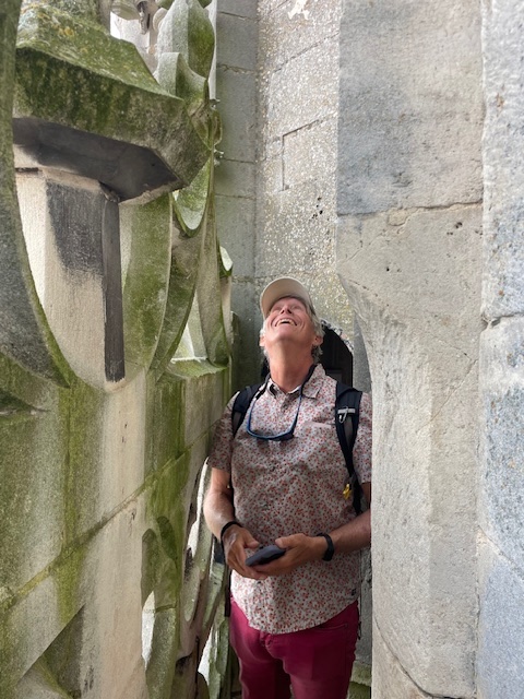
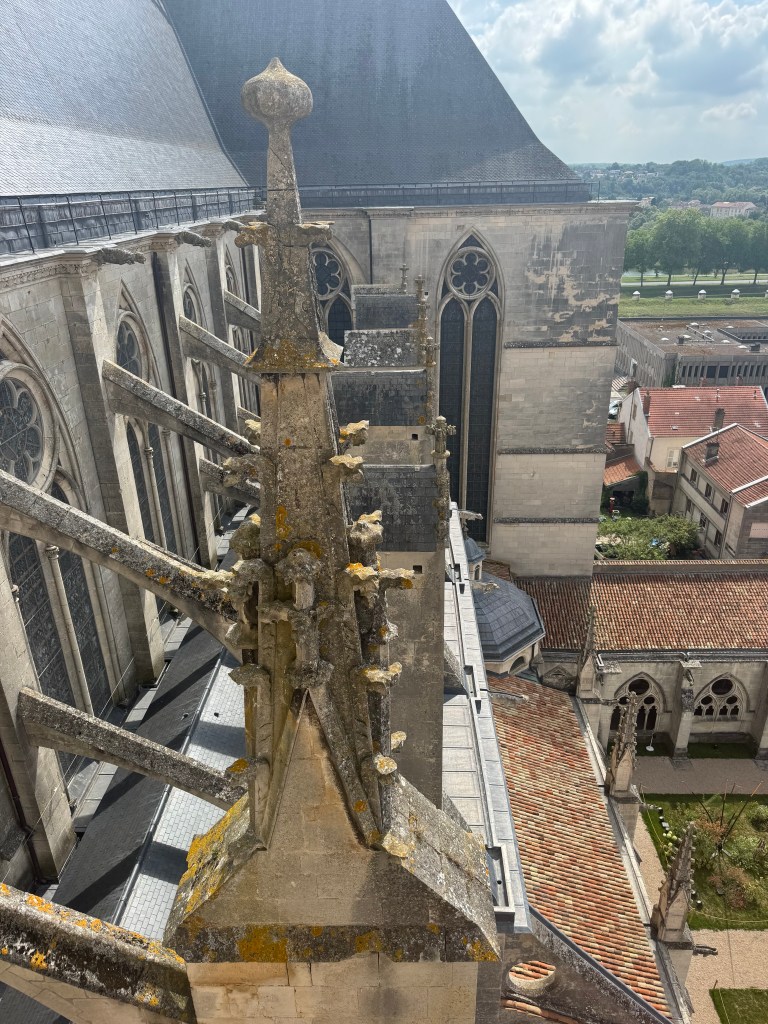
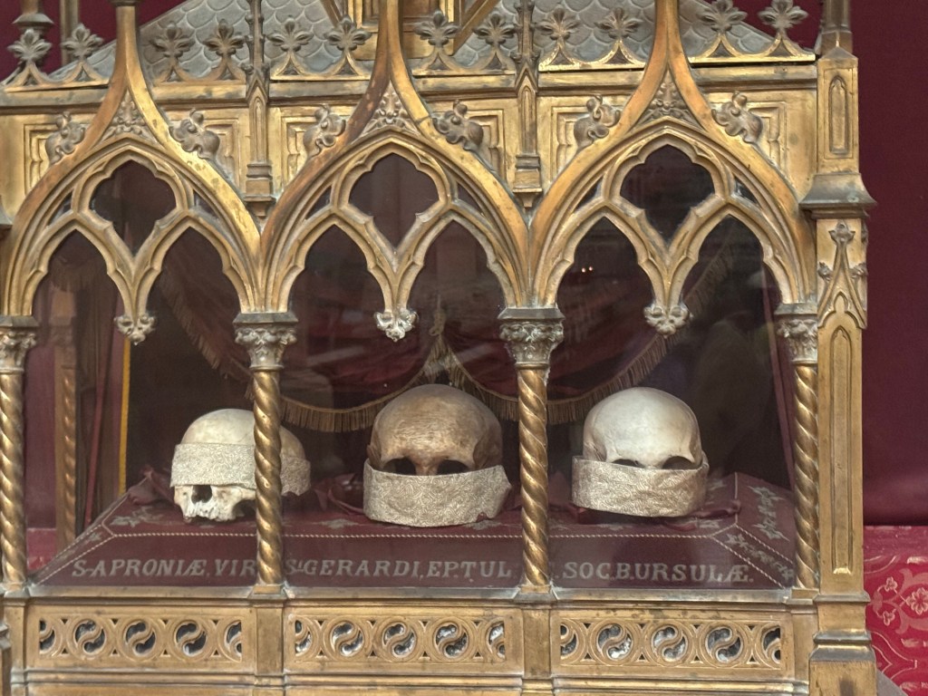
The Cathedral of St Etienne dominates Toul. And rightly so since you can climb ALL the way to the top AND you can see the actual relics which are hidden in most churches.
Up we go…
The views from the top were worth the 389 steps.
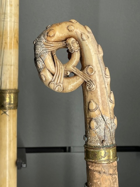
Back downstairs we toured the “Treasure Room” which consisted of mostly gold bishops’ staffs, but also a nail from the ONE TRUE CROSS. And, as all know, there were only three of those. Or maybe four.
Outside we found one more treasure, a plaque noting where Joan of Arc (Roberta’s current historical obsession) successfully repelled a marriage claim and was then free to be martyred a few years later.
Oops… we almost forgot the 18th century graffiti proving that juvenile delinquents have always walked among us.
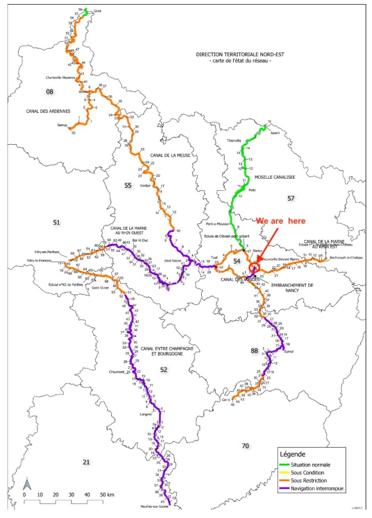
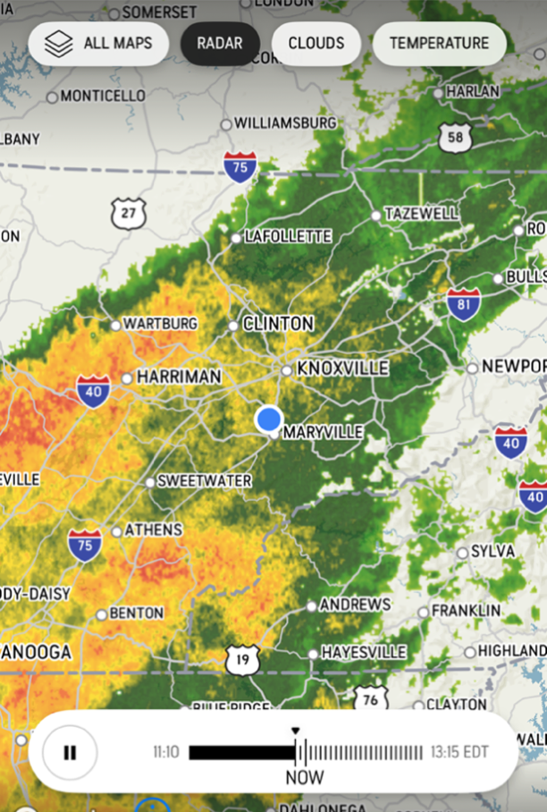
While we spent the last month entertaining three groups (12 friends and family) the French canal system was busy drying up. See map below: green is good, orange is so-so, purple is bad. Since the route west to Paris is closed to us we are unable to complete our planned grand tour.
Screenshot
Our new plan (ha, ha, ha) is to go north to Metz and then hop a train for lunch in Luxembourg. We will then begin to retrace our route. Some of this will be fun, like the boat elevator we took to get here.
Other parts, like slogging up the Rhine, and waiting for huge boats to come along so we can go through huge locks, not so much.
The Canal de la Marne au Rhin (at least to Nancy) has surpassed our expectations for beauty.
And Nancy has been a lovely stop. The captainerie called Place Stanislaus the most beautiful square in France. It is indeed lovely and has a cool light show we managed to stay up for (it started at 10:45!).
We made it to Besançon with our dead alternator and moored at the lovely Cité des Artes (That’s our little boat at the far end).
Screenshot
What was supposed to be an overnight stay turned into a weeklong soujourn while we waited for our new alternator and the mechanic. As it happened we could not have proceeded in any case because the river was so high that the locks up river were closed.
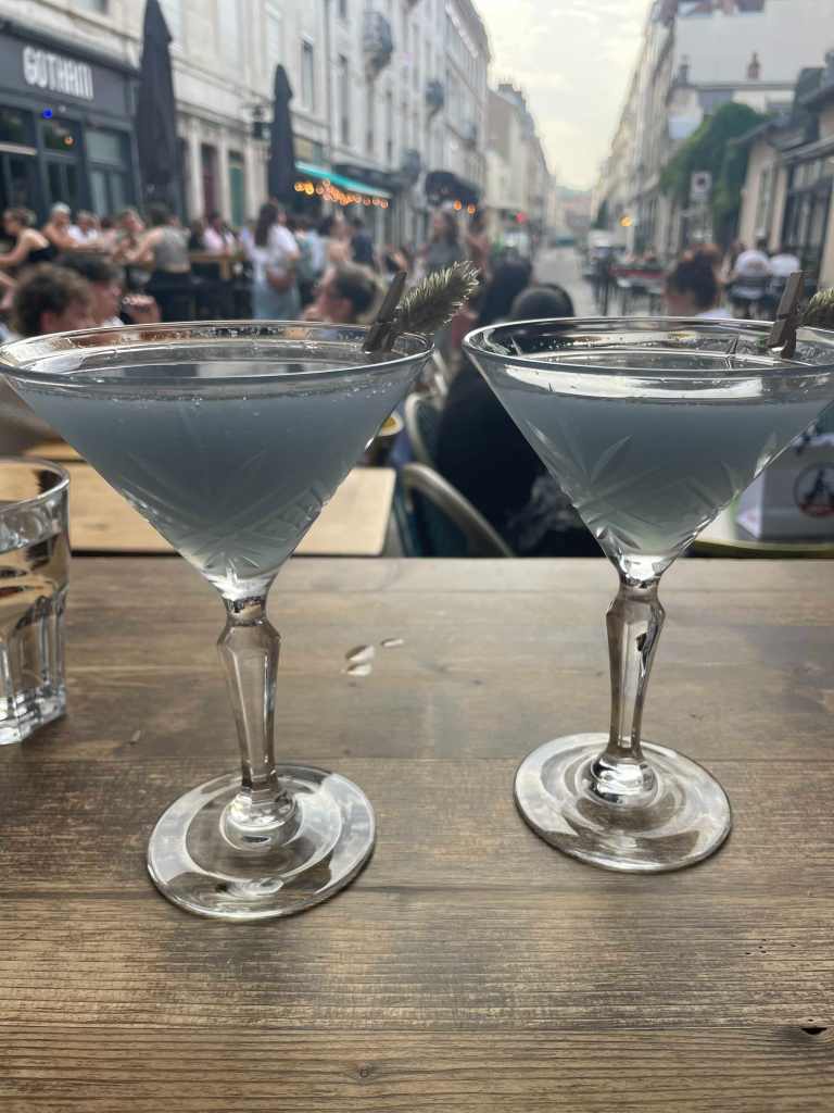
So, what else to do but enjoy the town? Tuba player on the dock, Ultraviolets – best cocktail in France – at Boheme, and the Museum of Fine Arts and Archeology.
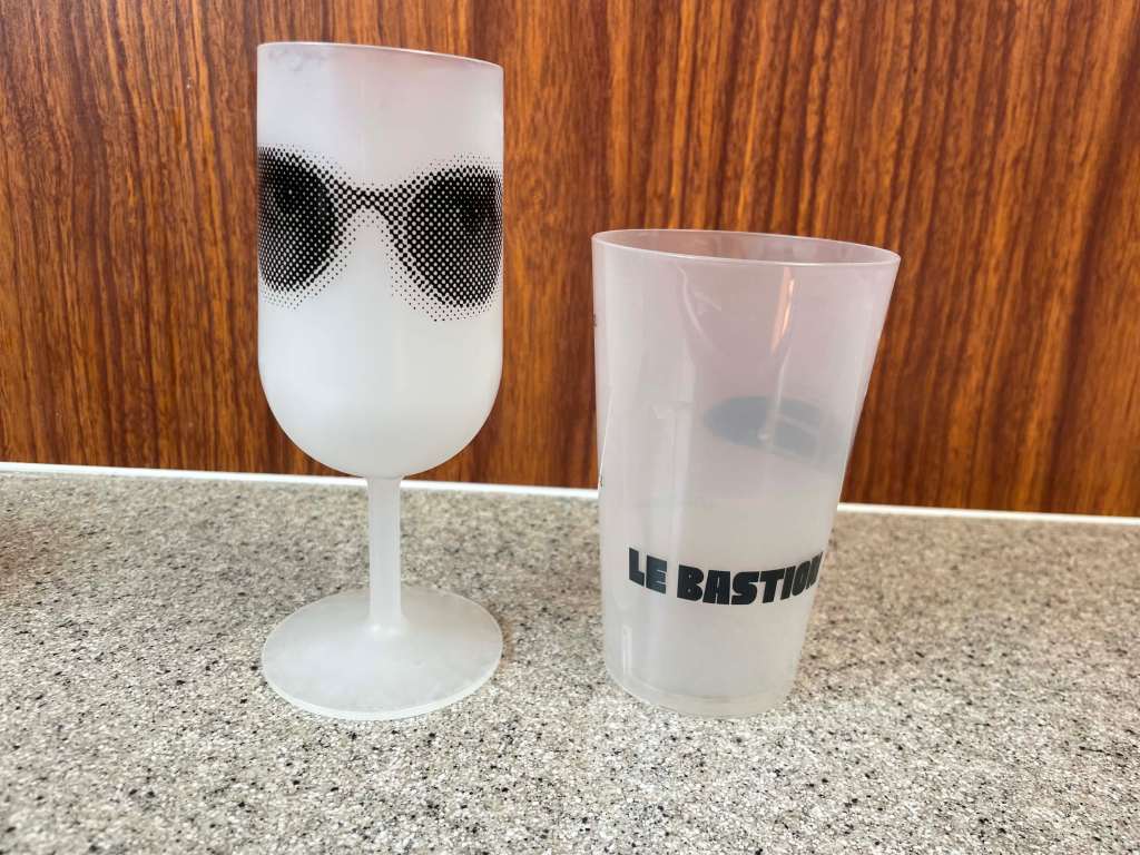
Not to mention the heavy metal festival at the end of the dock,
where we also scored this awesome drinkware but forgot to bring bananas.
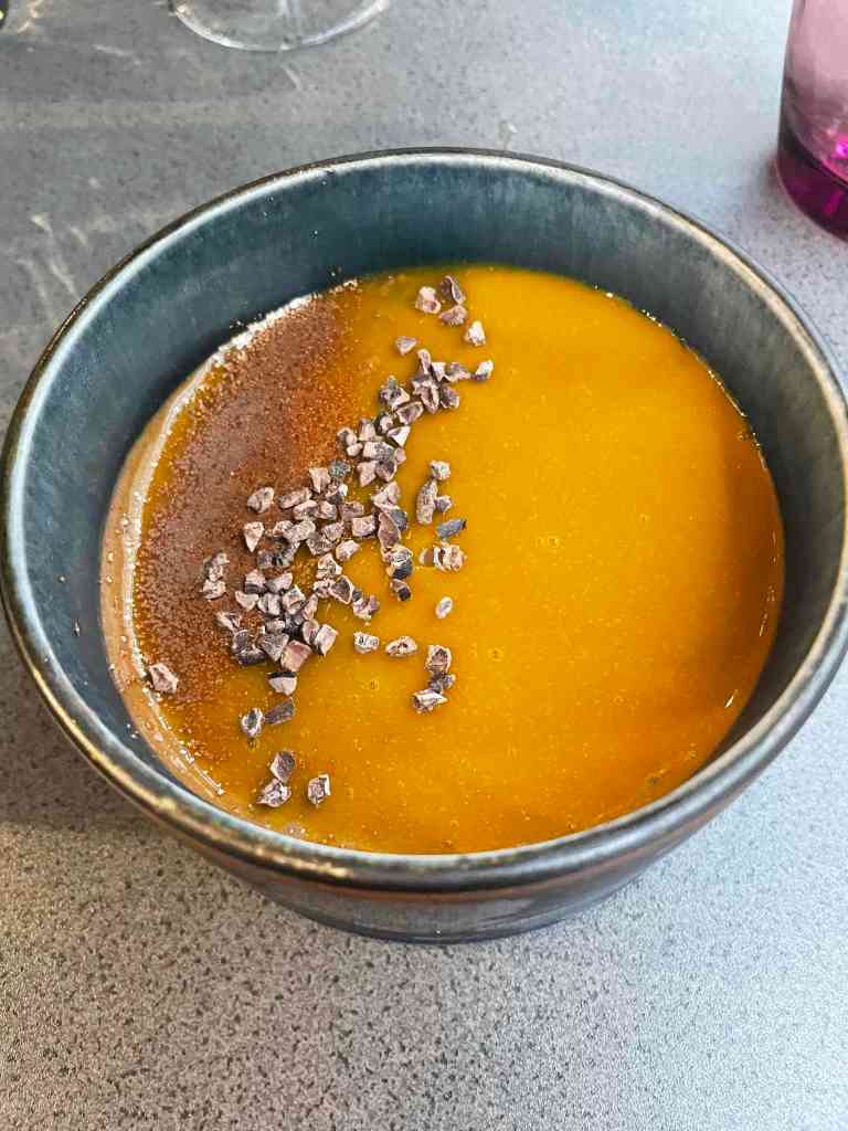
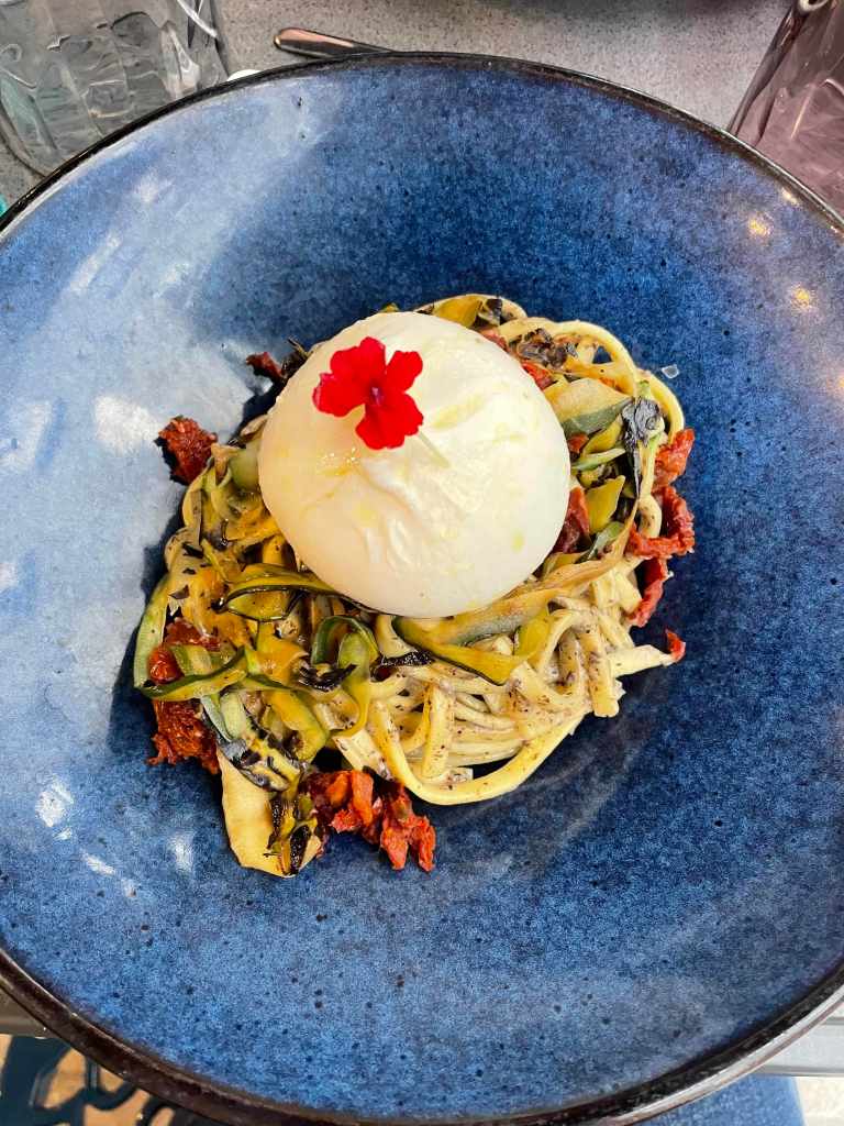
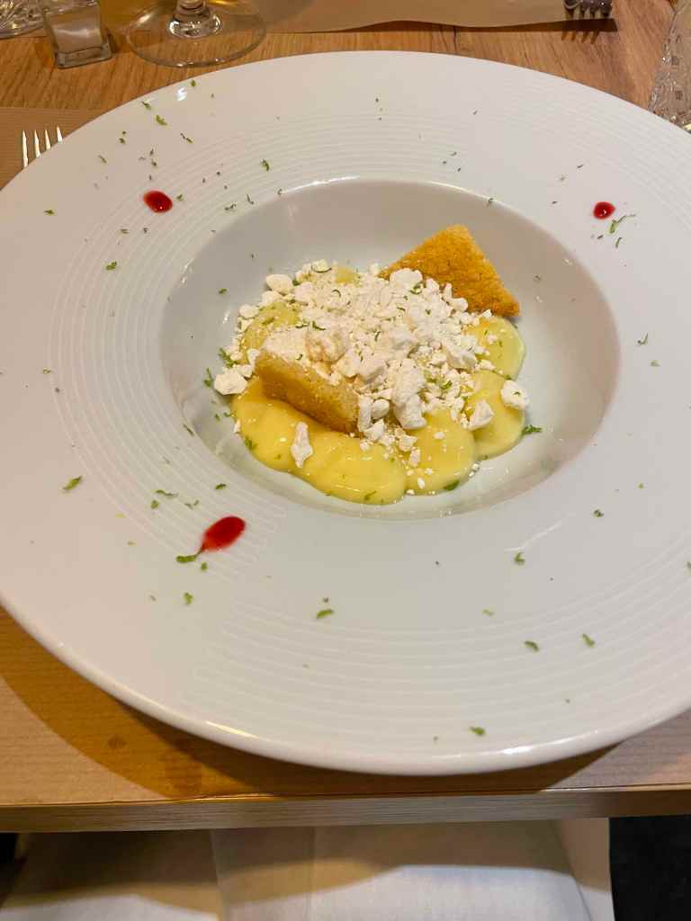
And we took advantage of Besançon’s great restaurants.
Then more Ultraviolets, because Boheme has some fantastic people watching.
Roberta had plenty of time for a visit to her favorite outlet store (twice).
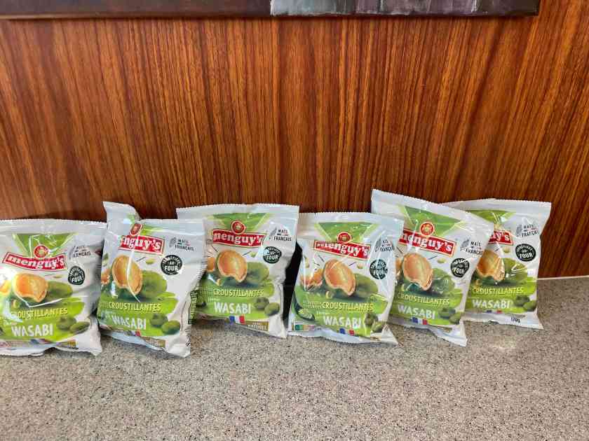
And Jason stocked up on his new favorite apero snack.
We both agreed that Besaonçon would be a great place to live (lot of runners here) and Roberta considered putting a mailbox on the dock. But, the mechanic showed up and the locks opened up and we were on our way.
Two hours before our first guests of the season arrived, this happened.
Decize safely in her (weedy) slip with a new transmission.
We headed south on a shakedown cruise with our guests. First stop Verdun-sur-le-Doubs at our favorite captainerie.
On to Chalon-sur-Saone, winter headquarters of Julius Caesar (he is no longer there) and a distribution point for Leffe Ruby!
Then up a little river (La Seille) where we had to do our own locking.
It was also the inaugural cruise for our latest boat upgrade – Le Moulinet
We stopped in the book town Cuisery, where Francis ordered … something.
After picking up some noir graphic novels and ghost stories we went back down the Seille to Tournus.
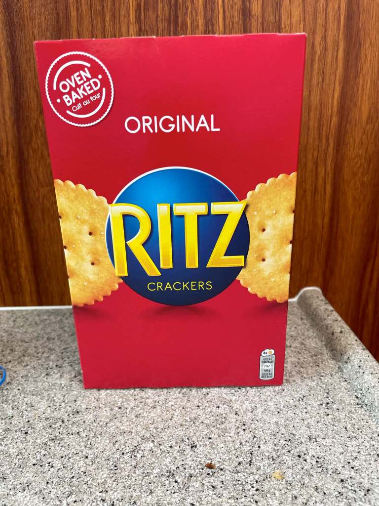
The French version of a unicorn…. real crackers!
After dropping off our passengers, we headed back north, with an overnight stay at the home of some friends who have retired near here. In one year they’ve transformed their backyard into a park-like oasis. Did we mention real showers? And a swimming pool? And real showers?
After a quick stop at our home port (St-Jean-de-Losne) for a final transmission check we headed north to start our grand tour. Oops… turns out we spent too much time cruising and not enough time shaking down. Enjoy these next photos of bucolic Burgundy as our alternator slowly dies.
The goal: to be cruising the inland waterways of France, a la 2024.
We made it to St. Jean de Losne … before our long-awaited gearbox. We found lots of weeds but no boat in our slip
So, only one thing to do….Apero! At La Barge.
Our first full day in France was spent getting reacquainted with our little home away from home as we tried to stroll away the jet lag.
The exterior renovations of the church seem to be complete but work continues inside.
Not pictured: our boat.
Also not pictured: our boat.
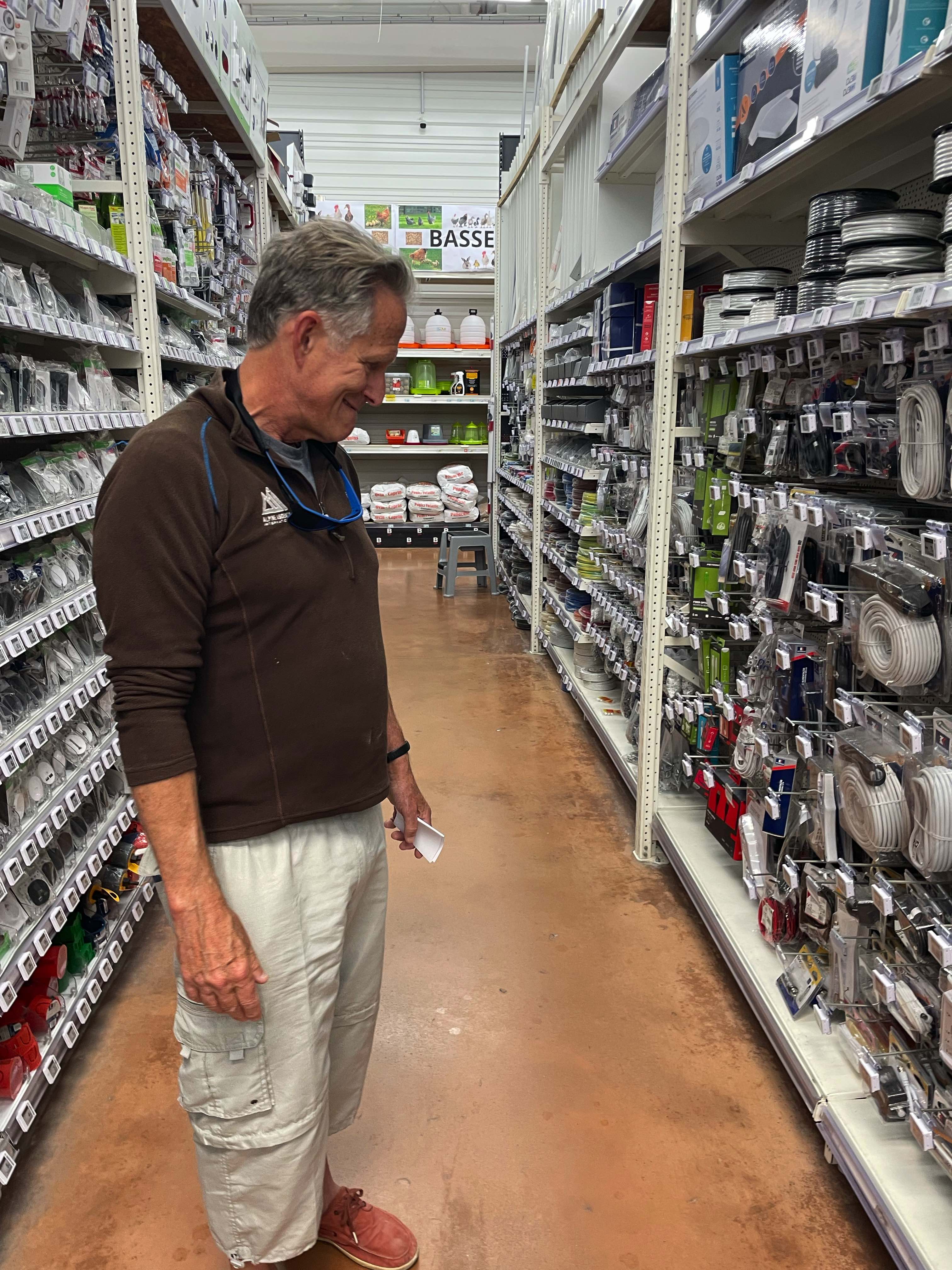
No first day in St Jean would be complete without a visit to the hardware store.
No boat here either.
But a well-timed ping from the air tags attached to our bikes, which are attached to our boat, solved the mystery.
We thought she was still in the shed, so this is good news in that we should have a place to stay when we check out of our lovely inn in two days. Won’t be the first time we’ve started the summer in the shipyard. C’est la vie…
We are three-ish weeks away from heading back to Europe for another summer of cruising the rivers and canals of France. We live by lists this time of year. Here is a (partial) list of our annual preparations (these are all done):
Long stay (6 month) Visa (Appointment Mar 11!)
VNF (Cruising) License for 2025
Travel medical Insurance
Forward mail (USPS)
Order Wifi appliance (Hippocket)
SNCF carte d’avantage
Sail Plan for the summer (visitors!)
Renew Boat insurance
ANPEI Membership 2025
Make B&B Res in St Jean (Les Charmilles, Beatrice)
File/Pay 2024 federal income taxes
Set up sprinkler systems
Pause/Cancel car insurance
Verify keys to friends
Sail Plan
Sail Plan for 2025
We have big plans this year but, as always, the weather, water and canal conditions can have a big impact. Last year we had flood conditions part of the year that has some canals closed and the year before just the opposite problem.
We plan to venture further north than we have gone before, even entering the Rhine for a few days, and then heading west to Paris. Passing through Paris on the Seine has always been a goal of ours.
Dates
Destination
Comment
May 18 – May 24
St Jean de Losne
Provisioning/Checkout
May 25 – May 30
Chalon-sur-Saone
South on Saone/ Shakedown cruise
Jun 2 – Jun 15
Mulhouse
Canal de Rhone au Rhine, Rhine
Jun 16 – Jun 30
Strasbourg
Alsace-Lorraine
Jul 1 – Jul 17
Nancy
Canal de la Marne au Rhine
Jul 12 – Jul 28
Vitry-le-Francois
Canal Lateral de la Marne
Jul 29 – Aug 12
Paris
Marne to the Seine
Aug 13 – Aug 26
Briare
Seine to Canal de Briare
Aug 25 – Sep 8
Digoin
Canal du Centre
Sep 9 – Sep 15
St Jean de Losne
Saone back to home port
And we have just (April 29) learned that our new gearbox has been delayed. And our old gearbox is in pieces in a repair shop somewhere in the south of France. So…. maybe not Paris this year?
Visitors
This may be a record year for visitors. We have five confirmed sets of visitors and two maybes.
Visitor(s)
Dates
Embark/Disembark
Francis/Emilie
May 23 – May 30
St Jean de Losne
Anna K
?
?
Jackie/David/Emory
Jun 30 – Jul 4
Strasbourg/Saverne
John/Christin
Jul 4 – Jul 17
Saverne/Toule
Emerson/Linda
Aug 10-Aug 16
Neuilly-Marne/Melun
Cynthia
Sep ?
Phil/friend
Oct ?
Money Talks
Thought I would pass along some info on costs to anyone thinking of following in our wake. These costs exclude maintenance/repair of our 20+ old penichette.
Fortunately we paid for most of these items before Trump’s shenanigans tanked the value of the dollar ( 0.97 €/$ when Biden left office and 0.88 last time I looked).
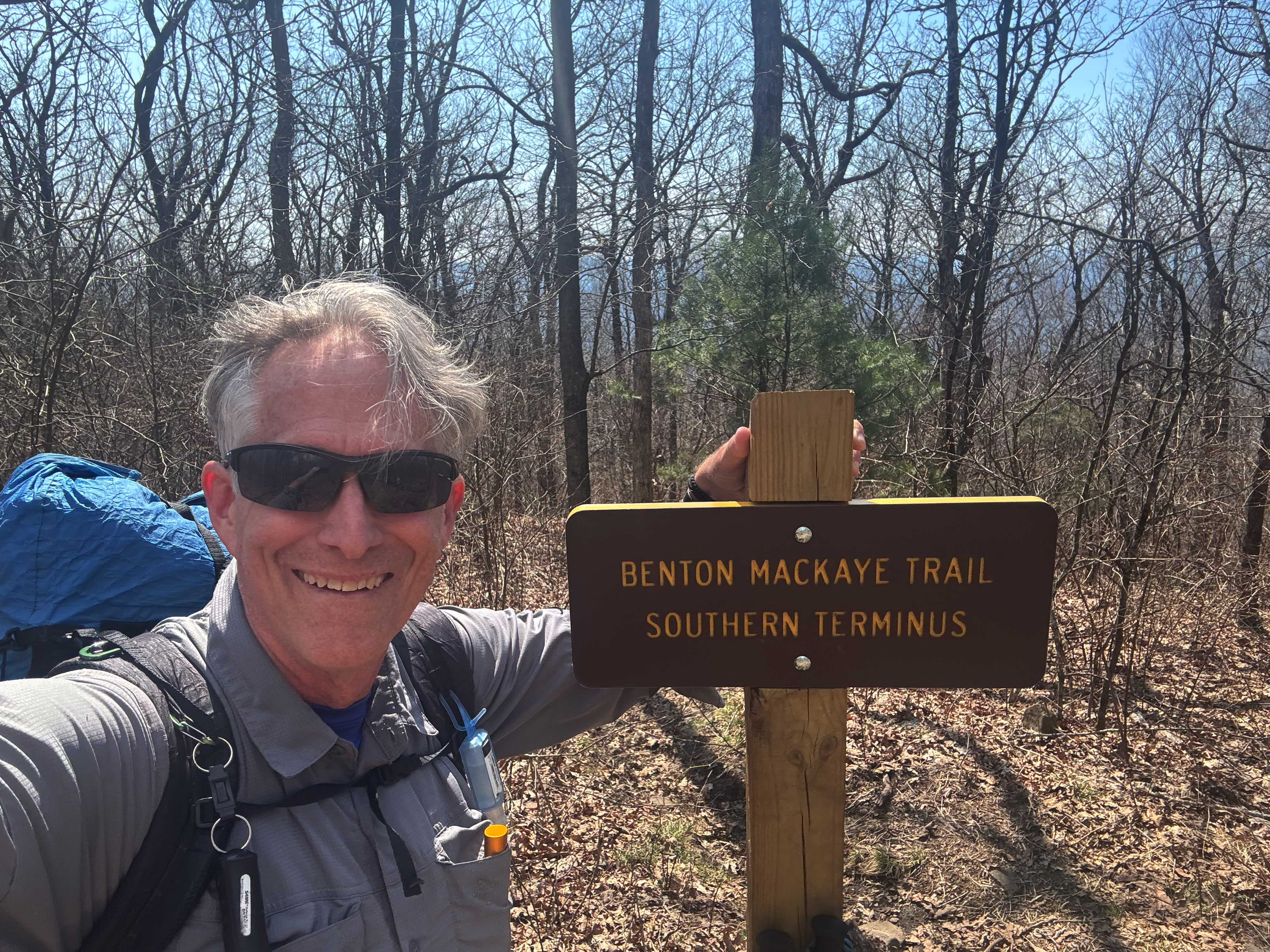
I exited the trail early. After two days of hiking from Ducktown, with the weather closing in, I decided to drop off the trail. There were two main reasons:
Weather
The next couple of days were supposed to be pretty bad – they are expecting 2.5 of rain the day I left and there are tornadoes and flooding just west of here.
Conditioning
I realized that I was probably not going to finish the trail in time to make my return flight. I was simply not in good enough shape to do what is probably the hardest part of the trail (miles 130-200) in a reasonable time. I hurt my knee training for the LST in January and have still not fully recovered.
My last day on the trail was one of the hardest days of hiking I’ve ever had. It took me eight hours+ to hike 12 miles. The trail was very rough with lots of rock scrambles and steep climbs. It completely wiped me out. To finish this trail I either have to be in much better shape or have a much easier plan, or both.
Spent most of the day travelling from Houston to the trail. Flew to Atlanta, caught the MARTA train to north Atlanta where I was picked up by my shuttle driver (“Bandit”). There were four other hikers in the van, all heading to the AT. I got dropped off at the trailhead around 3:00PM .
I hiked up to the official start of the BMT and then headed north. I saw several other hikers over the first few miles where the two trail cross but after leaving the AT I was pretty much by myself.
My first night was a pretty campsite by a stream and I had company! “Weedeater” showed up just before dark. He is doing a portion of the BMT.
Day 2, Mar 28, BMT 18.7
Today was disappointing. I started in the dark at 7 o’clock with my headlamp, but was able to turn it off within 30 minutes. Today was supposed to be a 4000 foot plus day and I am clearly not ready for a day like that yet. And the trail is VERY HARD.
I met a lovely couple from Georgia that had done the Pinhoti trail and then headed south on the BMT. They had done 400 miles so far and we’re planning on doing the AT once they hit Springer Mountain.
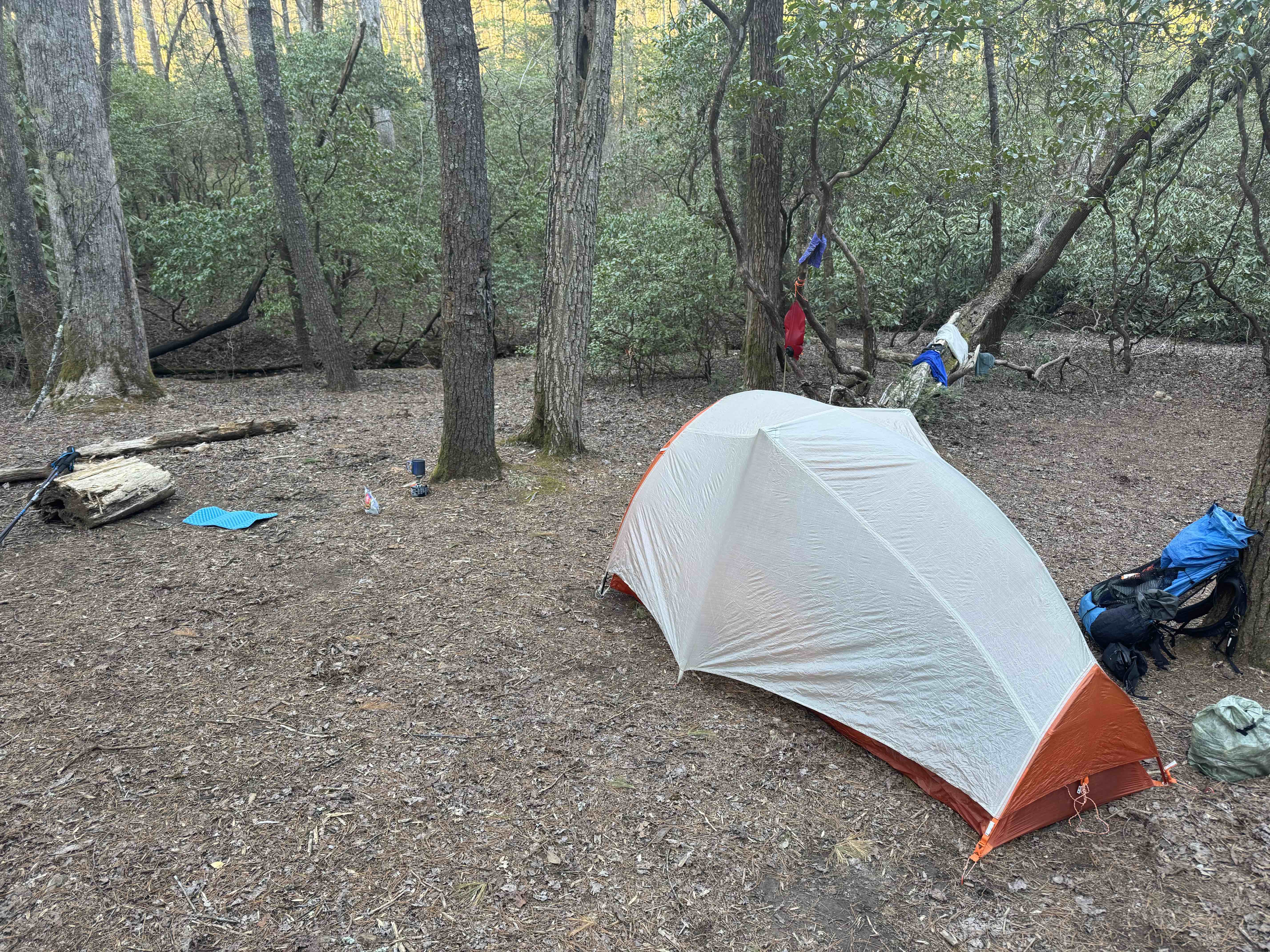
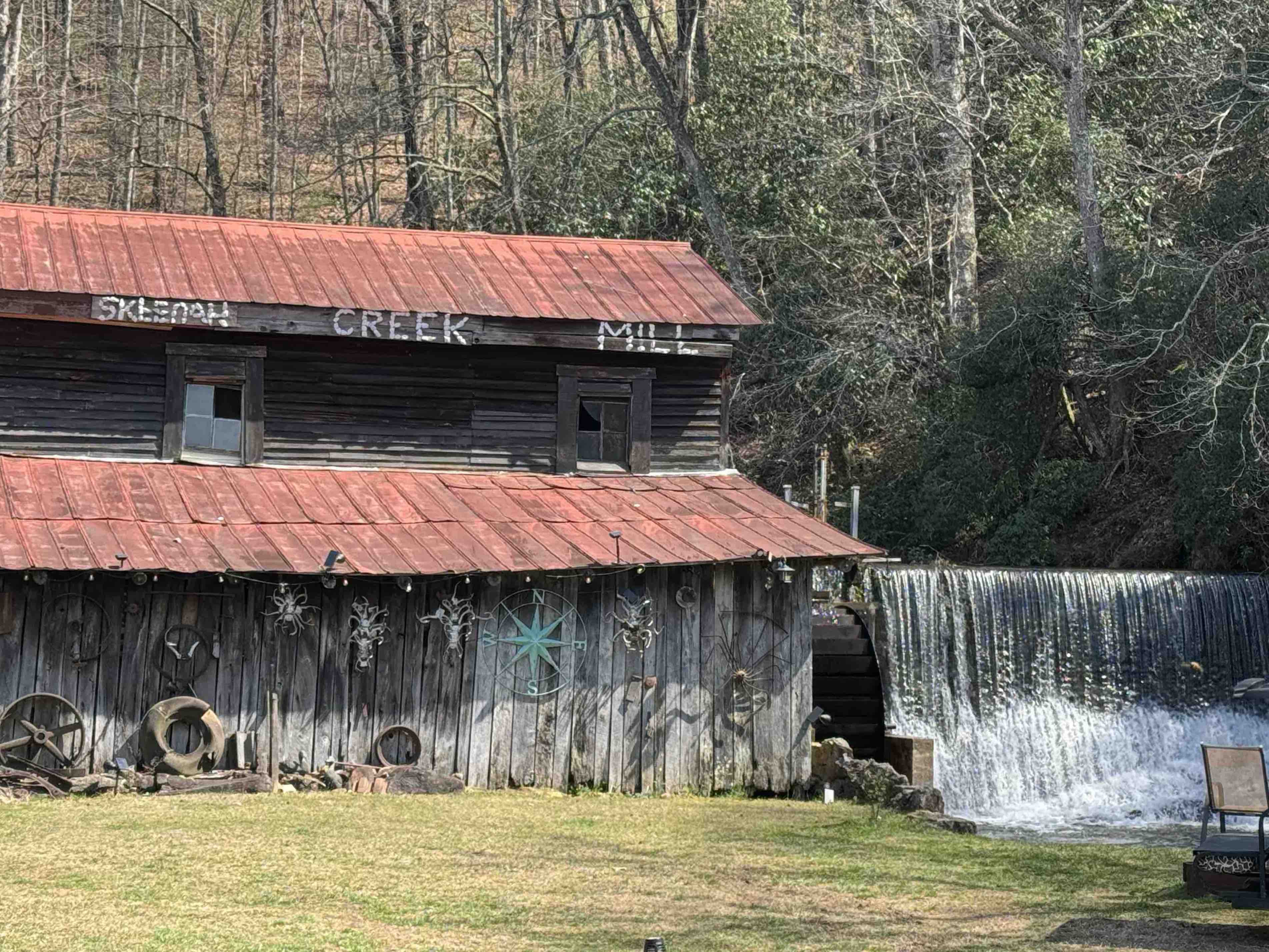
Stopped for lunch just after noon and about 9 miles. Was not feeling that great. I’m having to stop a lot on the climbs which is unusual for me. I decided to stop earlier than my plan – hiking a couple of miles off trail to the Skeenah Creek CG.
At the CG I learned l that the Georgia Death Race is happening tomorrow on the part of the trail I was currently on. I plan to catch the race shuttle from the CG tomorrow to skip the couple of miles that the race will be on.
Day 3, Mar 29, PT 42.0
Today was an interesting. It started when I caught the race shuttle from the campground to where the trail crosses Skeena Creek Road. I was hiking at 8 o’clock or just after. Another hard day with lots of climbing – 3600′ and 17 miles.
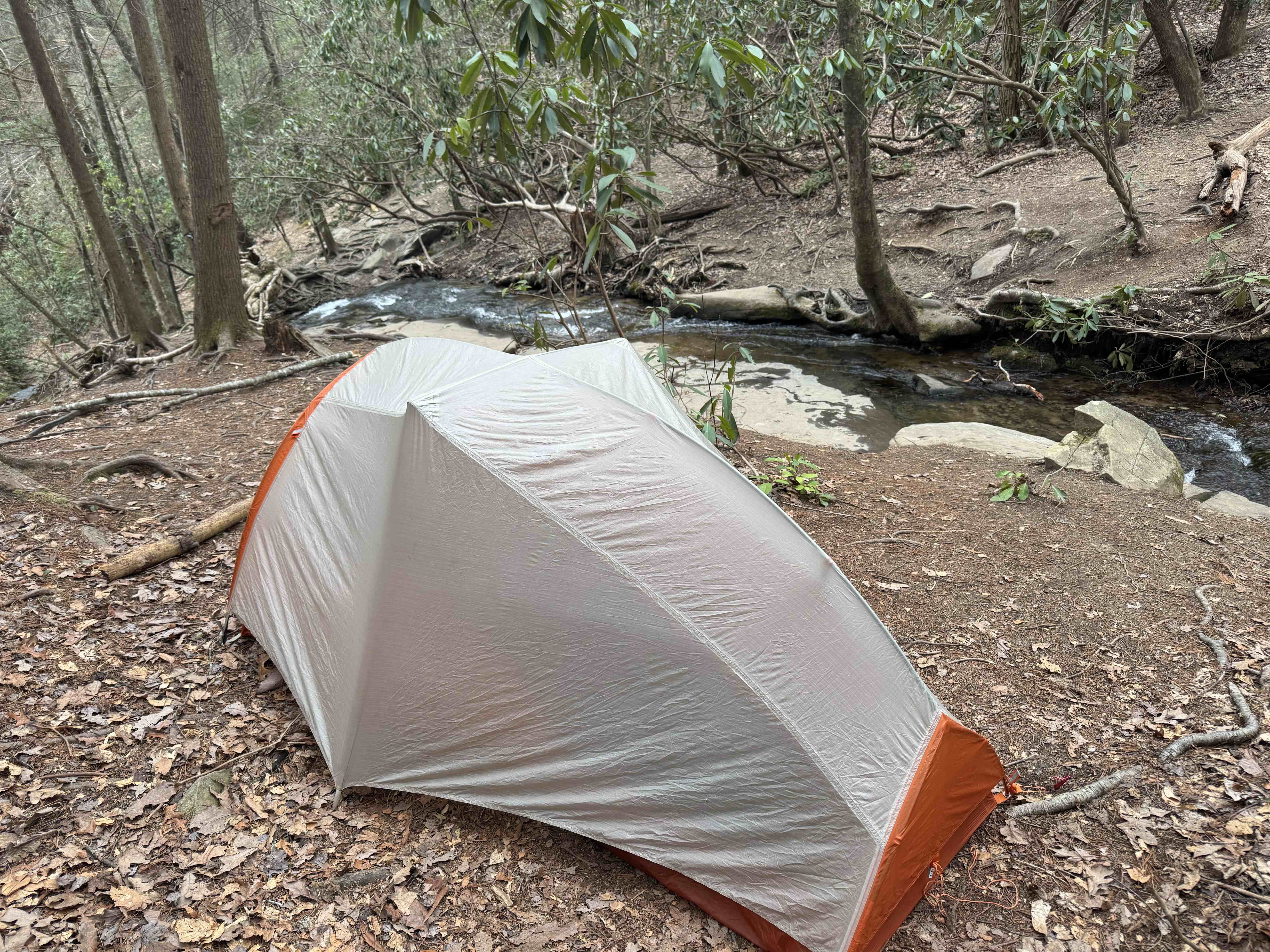
I had originally intended to stop short of iron Bridge Cafe, put up my tent and then walk to the cafe for dinner. But I saw no spots on the trail to camp, so I continued onto the café and had an early dinner about 3:30. It was wonderful. Left the café at 4 o’clock for a 4 mile road walk to get to the trail, then hiked up to the Fall Branch Falls and found a place to put at my tent.
Not sure this is a legal spot, but there are no signs saying no camping so… I’m here.
This was a pretty good day. The climbs were tough, but I think I may be getting acclimated to the trail. It’s a Saturday so there were quite a few day hikers on the trails, but I only saw a few thru-hikers going southbound. I signed my name to a trail journal and it looked like the last northbound hiker ahead of me is at least two days ahead of me.
Day 4, Mar 30, BMT 52.4
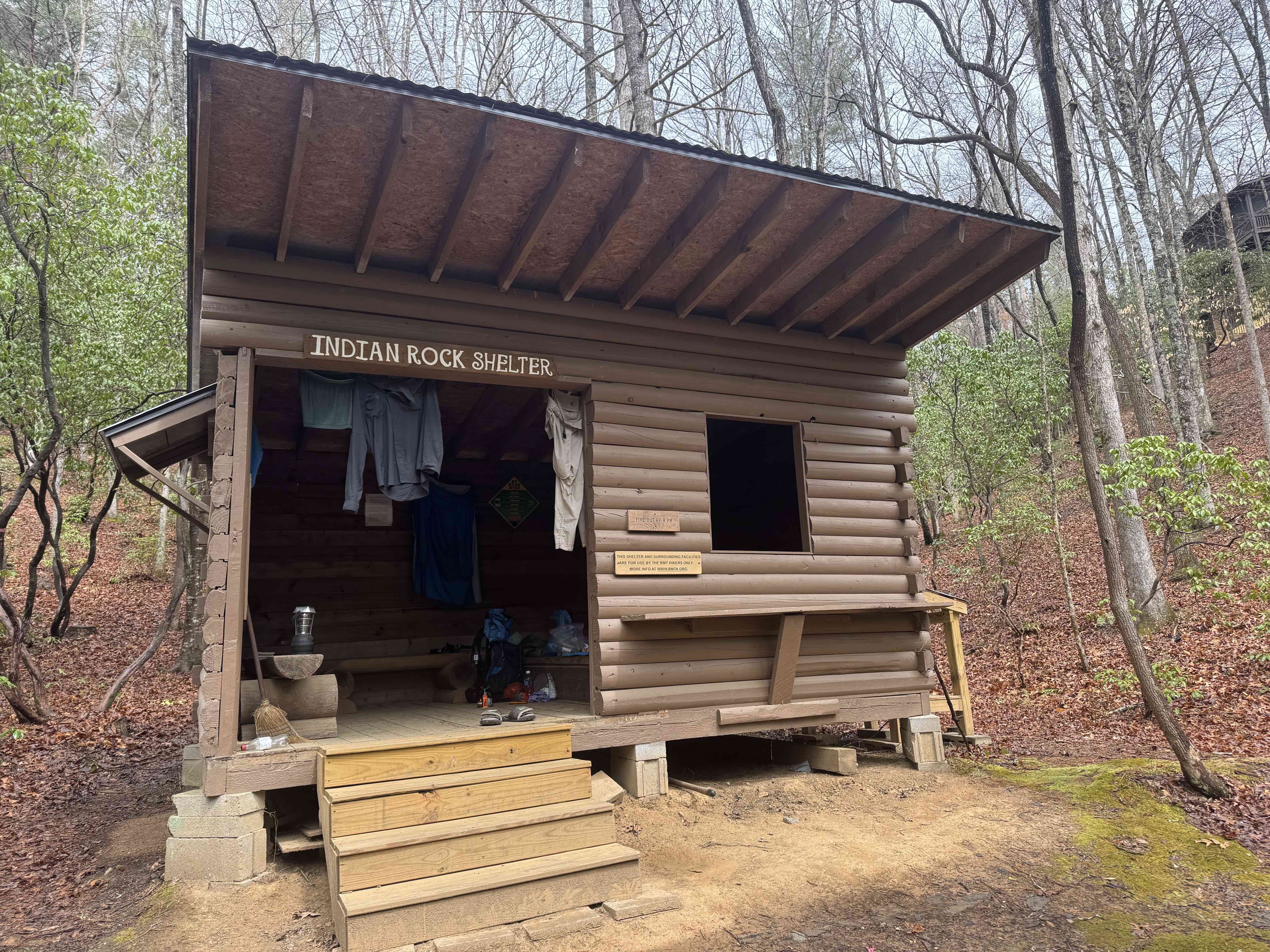
Broke camp and started walking in a light rain at about 7:30 AM. It rained all morning, never really hard, but often moderate. I made it to Indian rock shelter at 12:45 and had a hot lunch.
The next decent campsite is 10 miles. So I’m spending the night here. Tomorrow is a 4000 foot day so I’m hoping the rest will help. I did not see a single other hiker today day.
Day 5, Mar 31, BMT 66.6
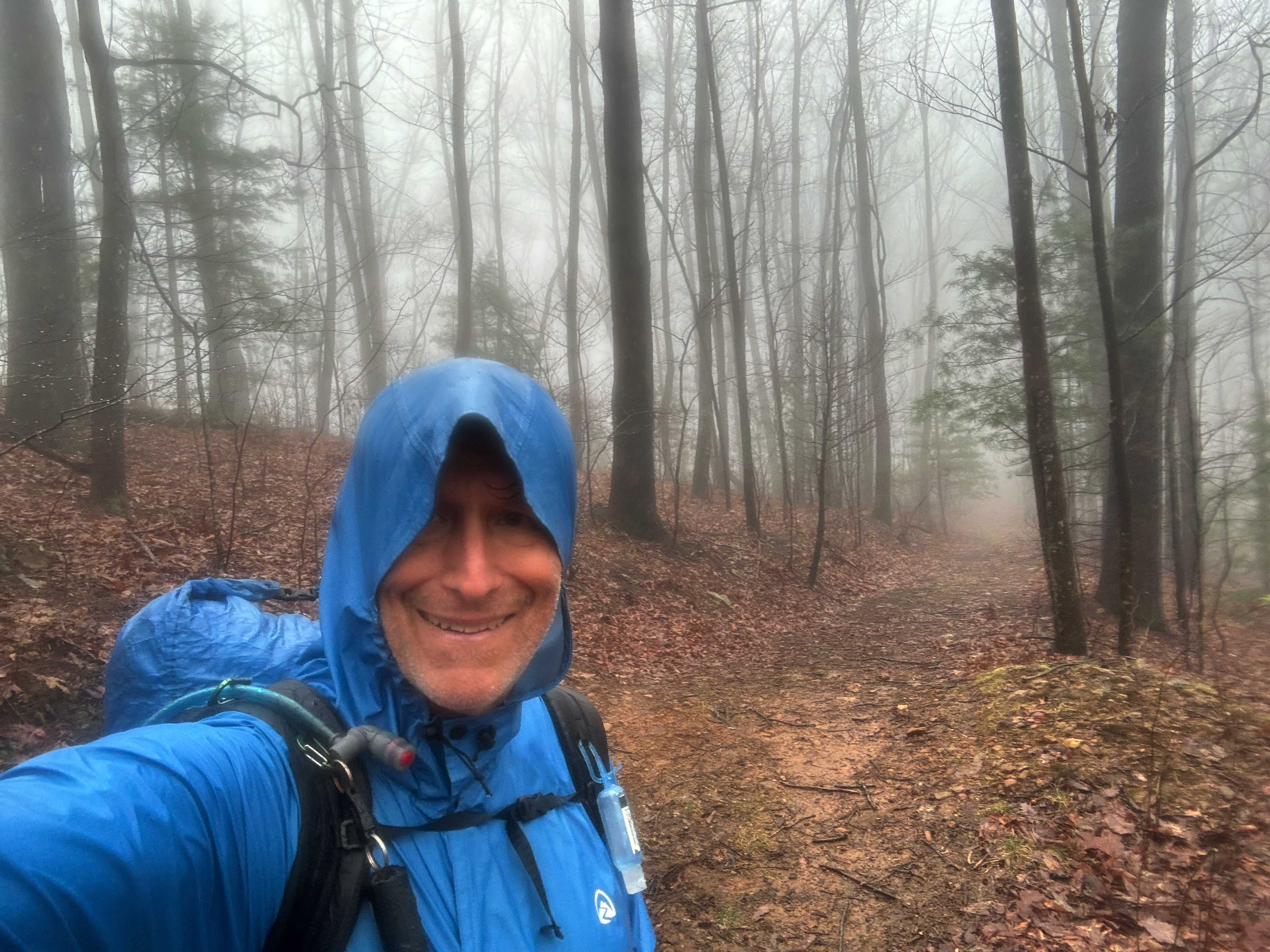
Tough day, only a little over 14 miles but well over 4000 feet of elevation gain. Tomorrow’s hike is over 16 miles but only 3000 feet of elevation game so probably easier.It was raining when I woke up and rained all morning sometimes heavy sometimes light, but it never stopped.
I stopped at noon during a brief lull in the rain on a high ridge to eat some crackers. Did not want to haul out my food bag because the rain could start up at any time. As I was sitting there it slowly got dark. Ominous. I started hiking and the thunderstorm hit. Very heavy rain, lightning and thunder.
It only lasted 15 minutes or so, but it was hard to hike. About 15 minutes after this, another hiker caught up with me. It was Weedeater! He had hopped off the trail yesterday, which is how I was able to pass him since he is much faster. It was nice seeing him again.
I got to Double Hog Pen gap campsite about 3:30 PM. It was not raining so I was able to set up the tent and filter some water.
I have a little bit of cell coverage and was able to get the Weather app to work. It shows a 50% chance of more rain in the next couple hours, but no rain tomorrow! Which is good, since I am rapidly running out of clothes to wear.
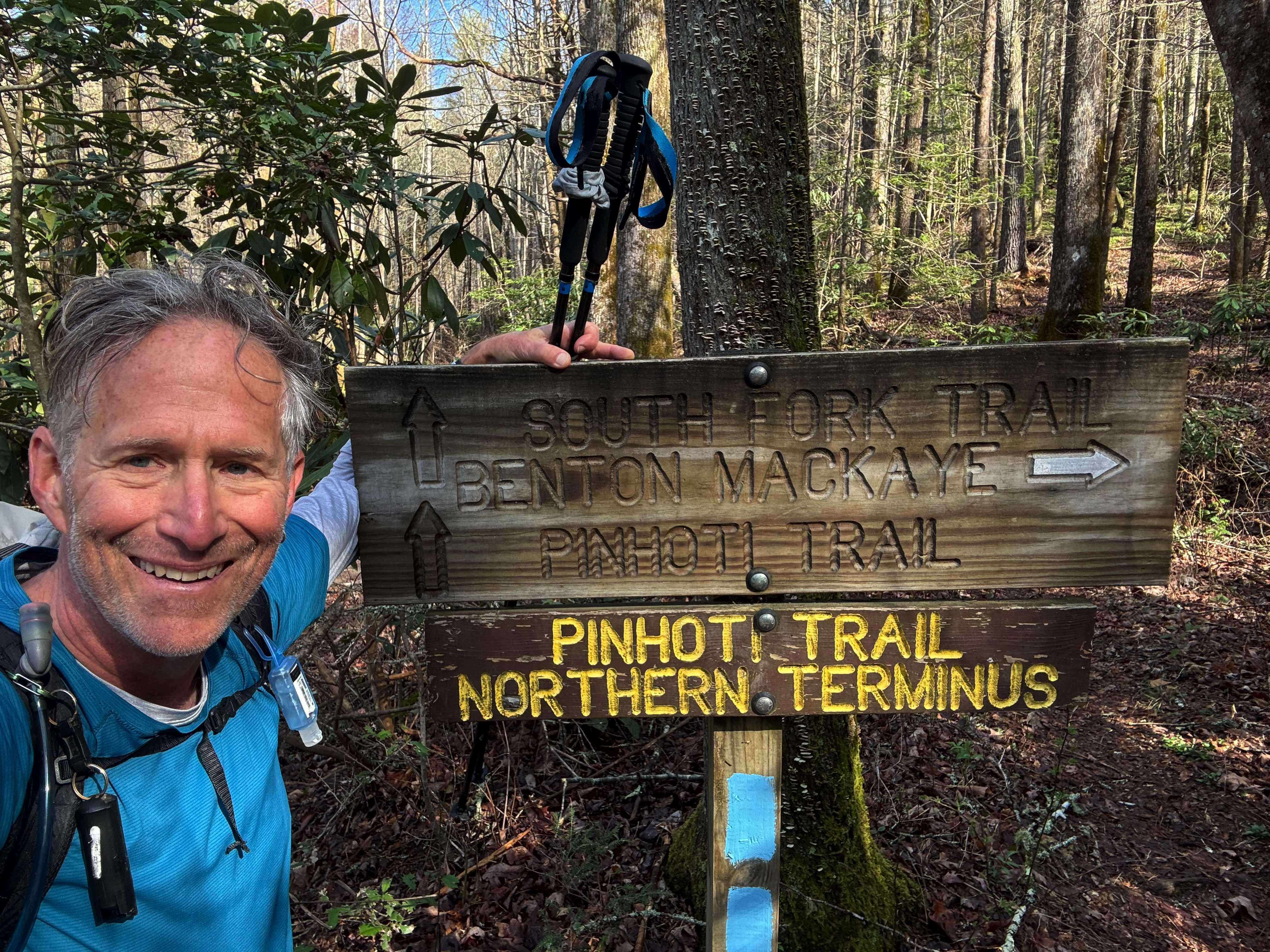
Day 6, Apr 1, BMT 82.9
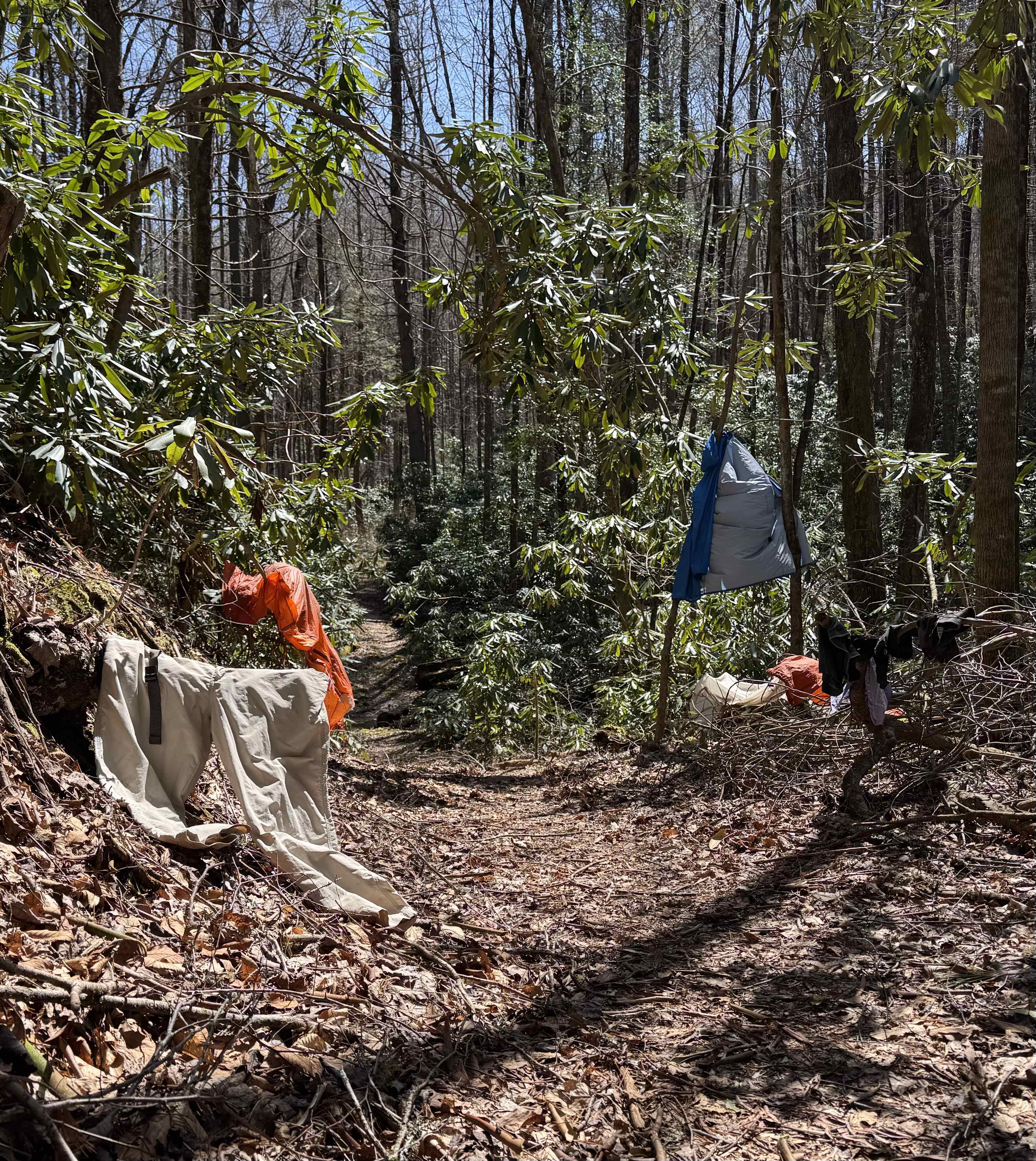
And I thought yesterday was hard! I’m totally wiped. Currently camped at double Spring gap. It was a cold morning, probably in the high 30s when I started hiking around 7:45 AM. But it warmed up nicely and turned into a lovely day, especially in comparison with yesterday’s shit show. I passed the spot where the Pinhoti Trail ends into the BMT.
I got to my campsite just after 5 PM. So it was a very long day (9 hours, a little over 16 miles). I did take a long lunch at least an hour to lay out the tent and my clothes to dry.
Day 7, Apr 2, BMT 93.8
Good news! I got a phone call last night around eight (yes I have limited cell coverage here) from a shuttle driver (Seth). So I have a ride into Ductown, Tenn when I get to the trailhead.
It’s much warmer today, in the mid 50s when I packed up. Started hiking about 7:30 AM and immediately started climbing up Big Frog mountain. It’s a 1000 foot climb over about a mile and took me about an hour.
The wind started picking up as I near the top and by the time I reach the top it was blowing hard. There is a high wind advisory for the area. But it could be worse, there are tornadoes west of us near St. Louis.
Got to Thunder Rock CG about 1:00. Met a day hiker who, of course, offered me a ride into town. Seth arrived about 1:20 and I was at the Mallard Hotel by about 1:30 PM. On the trip I asked Seth if he was available on Friday to take me back to the trail and he said yes.
I was able to resupply at the Dollar General and even got pizza delivered to the hotel so not a bad place for a zero day.